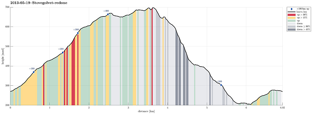
Stovegolvet (19.05.2013)

| Startsted | Lundastølen (270moh) |
|---|---|
| Sluttsted | Lundastølen (270moh) |
| Turtype | Fjelltur |
| Turlengde | 2t 30min |
| Distanse | 6,9km |
| Høydemeter | 581m |
| GPS |
|
| Bestigninger | Stovegolvet (703moh) | 19.05.2013 |
|---|---|---|
| Andre besøkte PBE'er | Stovegolvet Turisthytte (695moh) | 19.05.2013 |
| Stovegolvet sikteskive (699moh) | 19.05.2013 |

Note that this track has been created a posteriori, i.e., from memory, not automatically recorded.
Trip Summary
Very nice hike, starting from Lundastølen, first parallel to the road which leads up to Kattnakken, then to the left and up (to the saddle), before turning left (and west), again, and continuing to Stovegolvet. Down via a step descent to the west and through Tyseskaret, before connecting back to the parking at Lundastølen.


Kommentarer