Liatårnet (13.05.2016)

| Start point | Fjellfestning parking (60m) |
|---|---|
| Endpoint | Fjellfestning parking (60m) |
| Characteristic | Hillwalk |
| Duration | 2h 00min |
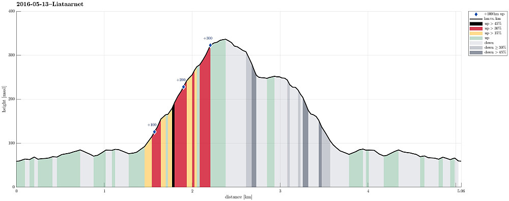
| Distance | 5.1km |
| Vertical meters | 357m |
| GPS |
|
| Ascents | Liatårnet (341m) | 13.05.2016 |
|---|---|---|
| Visits of other PBEs | Liatårnet parkering (55m) | 13.05.2016 |

Trip Summary
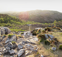
We parked on the western side of Liatårnet, a few kilometers south of Fjell, where one is also informed about nearby Fjellfestningen. From there, one first follows a paved forrest road towards Liatårnet, passing by Bålesteinen, then turning right. The trail to Liatårnet leave the paved road (to the right) near a shooting arena and right next to a simple building. Then the path leads (more or less) straight up to Liatårnet (easy to find). It was a nice evening, but quite a bit windy (especially on the top)! To get back, we continued from Liatårnet southwards, descending steeply into a wet area about 100 height meters below Liatårnet. In order to get back to the paved road (further down and to the northwest from this place), one needs to look very carefully for a trail (if there is any at all!). Alternatively, it is easy and straight-forward to simple walk over to where the tail up to Liatårnet is. The rest of the return walk is the same as the way up (straight-forward to find, accordingly). All in all, Liatårnet is always worth a quick hike. Even though it isn't very high, it still stands out from the surrounding and gives nice views, not at the least towards the open North Sea.
Photos
Selected photos are available as Google photo album.
Useful Resources
See also the related FB-page Hiking around Bergen, Norway.
Web page WestCoastPeaks.com provides useful information about Liatårnet
and also Petter Bjørstad has a useful page about Liatårnet.
Web page UT.no from the Norwegian Trekking Association recommends a similar hike up and down Liatårnet.


User comments