- Date:
- 31.08.2025
- Characteristic:
- Hillwalk
- Distance:
- 12.0km
- Date:
- 20.08.2025
- Characteristic:
- Hillwalk
- Distance:
- 23.2km
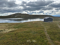 © Tom Isaksen
- Date:
- 24.07.2025
- Characteristic:
- Hillwalk
- Distance:
- 23.3km
- Date:
- 20.06.2025
- Characteristic:
- Hillwalk
- Distance:
- 17.8km
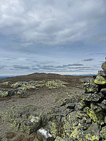 © Tom Isaksen
- Date:
- 11.02.2025
- Characteristic:
- Cross-country skiing
- Distance:
- 22.1km
- Date:
- 07.10.2024
- Characteristic:
- Hillwalk
- Distance:
- 12.2km
- Date:
- 28.09.2024
- Characteristic:
- Hillwalk
- Distance:
- 17.8km
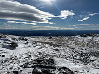 © Tom Isaksen
- Date:
- 08.08.2024
- Characteristic:
- Hillwalk
- Distance:
- 19.2km
 © Tom Isaksen
- Date:
- 22.06.2024
- Characteristic:
- Hillwalk
- Distance:
- 18.9km
- Date:
- 15.04.2024
- Characteristic:
- Randonnée/Telemark
- Distance:
- 26.1km
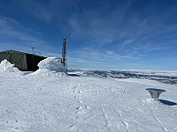 © Tom Isaksen


