Arkiv - dato
Arkiv - aktivitet
-
Annen tur (3)
- Kajakkpadling (3)
- Fottur (1782)
-
Kjøretur (9)
- Biltur (9)
-
Skitur (109)
- Fjellskitur (65)
- Langrennstur (44)
-
Sykkeltur (108)
- Blandet sykling (25)
- Gatesykling (83)
Lister jeg samler etter
-
Voss ≥ 100m pf.
(96/98)
 97%
97% -
Opptur Hordaland
(143/159)
89%
-
Stasjoner på Bergensbanen
(31/40)
77%
-
Ulvik ≥ 100m pf.
(28/38)
73%
-
Hordaland ≥ 100m pf.
(613/863)
71%
-
Mjølfjell PF > 100m
(21/31)
67%
-
Jondal ≥ 100m pf.
(15/23)
65%
-
Sunnhordland PF >= 100m
(104/186)
55%
-
Dagsturhyttene i Vestland
(33/61)
54%
-
Hordaland: Hardanger PF>=100m
(186/359)
51%
-
Kvinnherad ≥ 100m pf.
(40/79)
50%
-
DNT-hytter i Hordaland
(22/45)
48%
-
Sogndal ≥ 100m pf.
(23/81)
28%
-
Vik i Sogn ≥ 100m pf.
(8/46)
17%
-
DNT-hytter i Sogn og Fjordane
(8/47)
17%
-
Eidfjord ≥ 100m pf.
(7/42)
16%
-
Etne ≥ 100m pf.
(7/51)
13%
-
Ullensvang ≥ 100m pf.
(21/153)
13%
-
Sogn - Sør for Sognefjorden PF>=100m
(17/159)
10%
-
Opptur-topper i Sogn og Fjordane
(17/177)
9%

Fjellveien
- Dato:
- 09.05.2021
- Turtype:
- Fottur
- Turlengde:
- 3:01t
- Distanse:
- 13,2km
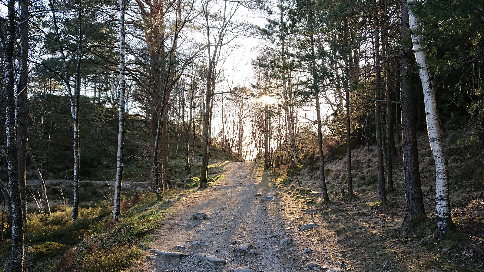
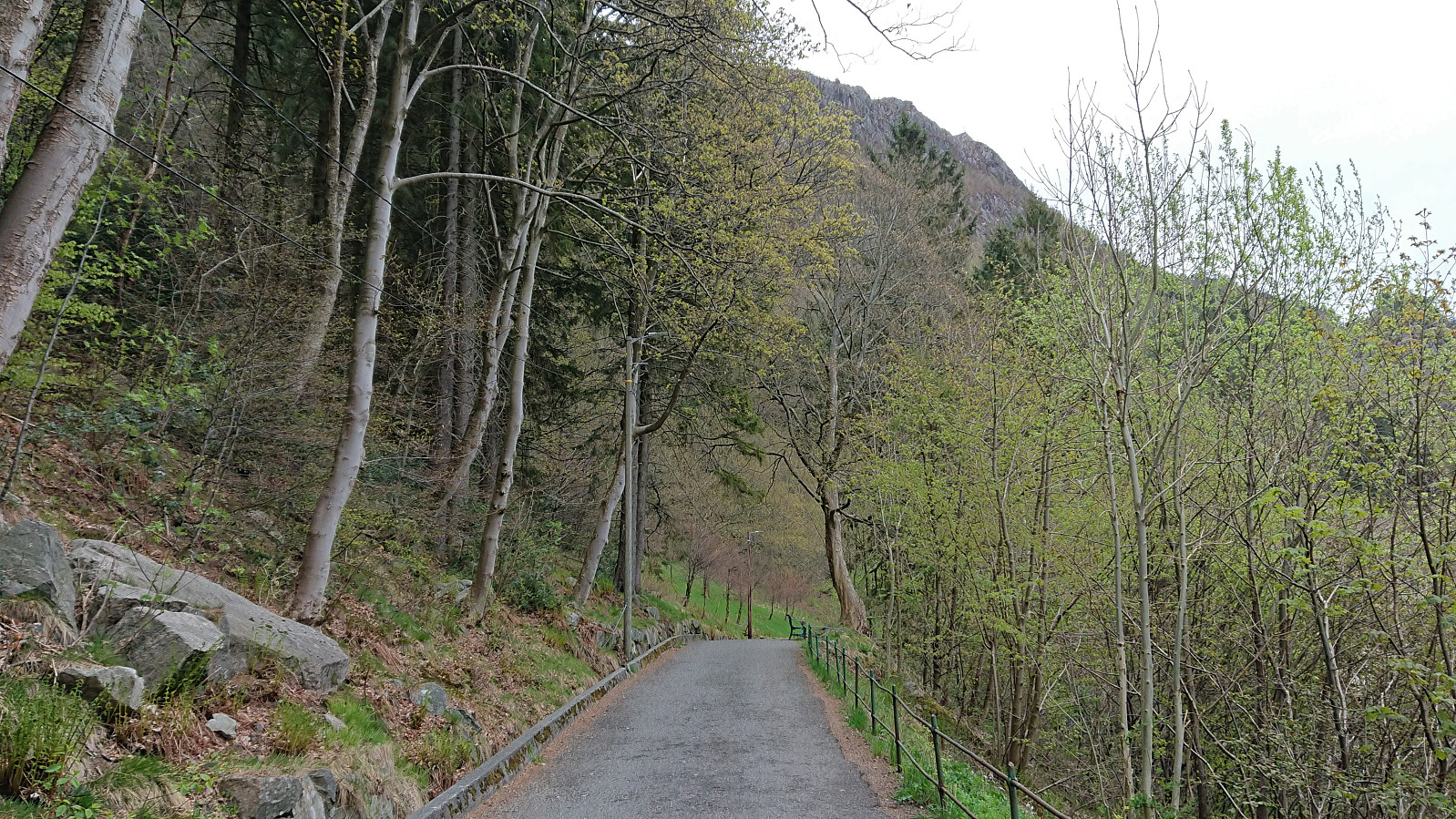 Local hike in Fjellveien.
Tellevikafjellet and Veten from Salhus
- Dato:
- 08.05.2021
- Turtype:
- Fjelltur
- Turlengde:
- 5:46t
- Distanse:
- 21,1km
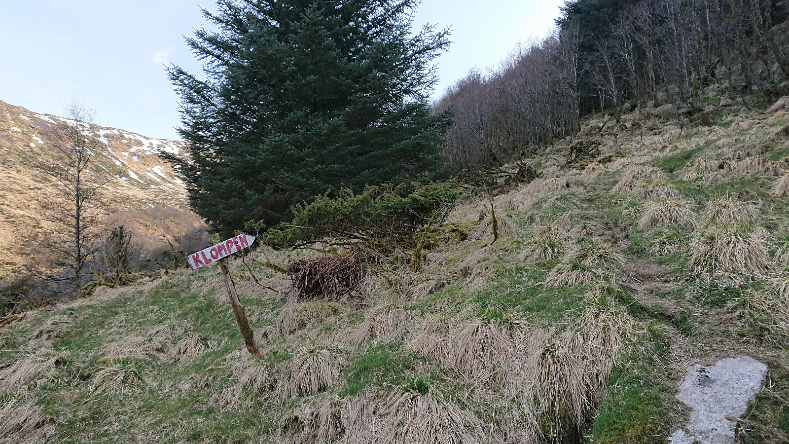
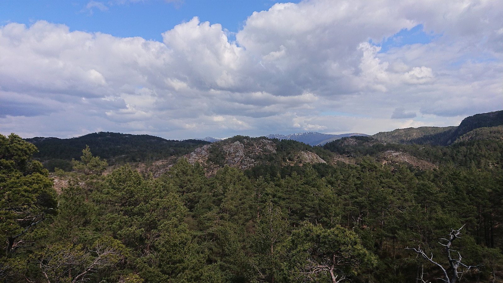
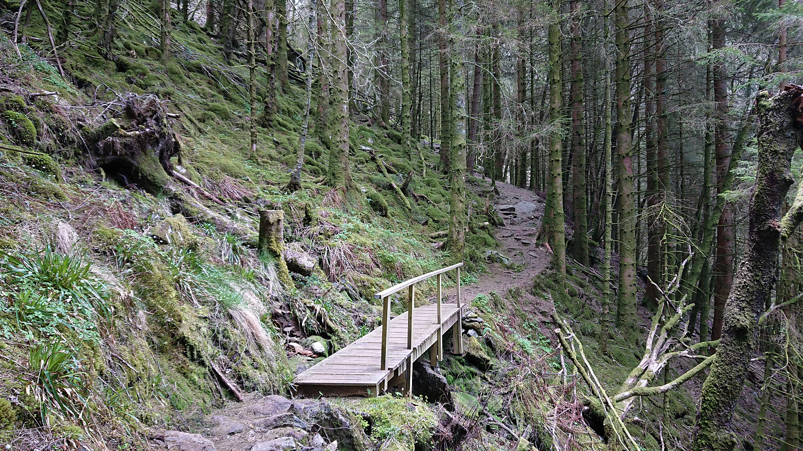 The goal of this hike was to ascend Tellevikafjellet from Salhus. I therefore started by taking the bus to Salhus and the bus stop called "Slettebakken Tellevikvegen", which happened to be less than 200 meters from the unmarked trailhead at the end of a short side road that started directly from the bus stop. The trail was of good quality, even included several wooden bridges, and could easily be followed. At the third bridge, the trail split, and I followed the option heading southeast along the river up to Milastemma .
Halfway in between Milastemma and Tellevikafjellet, I saw the tail end of the first viper, i.e. hoggorm, of 2021 as it disappeared into its hiding place close to the trail. It would not be the last of the hike though, but more on that later... After visiting both the trig marker at Tellavikafjellet >>>
The goal of this hike was to ascend Tellevikafjellet from Salhus. I therefore started by taking the bus to Salhus and the bus stop called "Slettebakken Tellevikvegen", which happened to be less than 200 meters from the unmarked trailhead at the end of a short side road that started directly from the bus stop. The trail was of good quality, even included several wooden bridges, and could easily be followed. At the third bridge, the trail split, and I followed the option heading southeast along the river up to Milastemma .
Halfway in between Milastemma and Tellevikafjellet, I saw the tail end of the first viper, i.e. hoggorm, of 2021 as it disappeared into its hiding place close to the trail. It would not be the last of the hike though, but more on that later... After visiting both the trig marker at Tellavikafjellet >>>
Cycling: Brushytten
- Dato:
- 07.05.2021
- Turtype:
- Blandet sykling
- Turlengde:
- 2:00t
- Distanse:
- 22,2km
 Evening cycling trip to Brushytten . Ascending via Fjellveien and Skansemyren, and descending via Sandviksfjellet and Munkebotsvatnet.
Across Hellen festning
- Dato:
- 06.05.2021
- Turtype:
- Fottur
- Turlengde:
- 0:51t
- Distanse:
- 3,8km
 Short local evening hike.
Utapåegga and Skylefonnstølen
- Dato:
- 05.05.2021
- Turtype:
- Fjelltur
- Turlengde:
- 2:54t
- Distanse:
- 5,8km
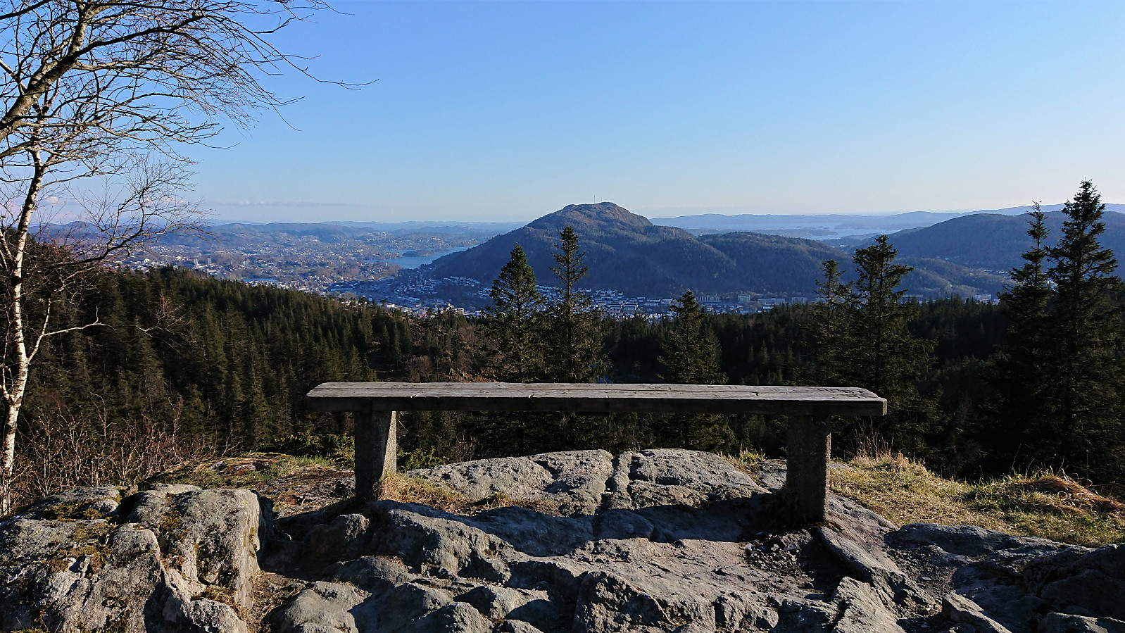
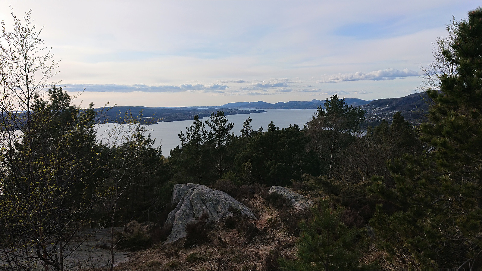
 We parked at Utapåegga p-lomme where there was room for about three cars, and easily located the unmarked trailhead. After a steep start, we crossed an open field and passed through a gate to arrive at the start of an excellent trail that would take us up Utapåegga . This was clearly an old trail that had been used by the farmers in the area, something that became even more obvious when we passed by several unnamed ruins at about 250 meters above sea level. The trail could easily be followed all the way to Skylefonnstølen , and even seemed to continue from there towards Vossavardane NV . We considered heading that way ourselves, but in the end we decided to rather start our descent due to an increasingly cold wind. Throughout the descent we could enjoy the spectacular panoramic views towards the north. Overall, an outstanding hike that can be very >>>
Fagerdalsskaret, Ørneberget NV and Ørneberget
- Dato:
- 04.05.2021
- Turtype:
- Fjelltur
- Turlengde:
- 2:13t
- Distanse:
- 4,6km
 Short local evening hike.
Benshaugen, Nordre Lyshovden and Lyshovden
- Dato:
- 03.05.2021
- Turtype:
- Fottur
- Turlengde:
- 1:39t
- Distanse:
- 7,7km
 Short evening hike to visit three small hills in Fyllingsdalen. Each hill was easily ascended via unmarked trails with trailheads that thankfully did not include any feelings of trespassing private property (as is not often be the case with these small hills in populated areas). Overall, a nice short hike in a neighborhood that I probably would not otherwise have visited.
Gamle Bergen
- Dato:
- 02.05.2021
- Turtype:
- Fottur
- Turlengde:
- 1:36t
- Distanse:
- 8,5km
 Local hike via Gamle Bergen.
Cycling: Storakvitefjellet
- Dato:
- 01.05.2021
- Turtype:
- Blandet sykling
- Turlengde:
- 5:19t
- Distanse:
- 67,6km
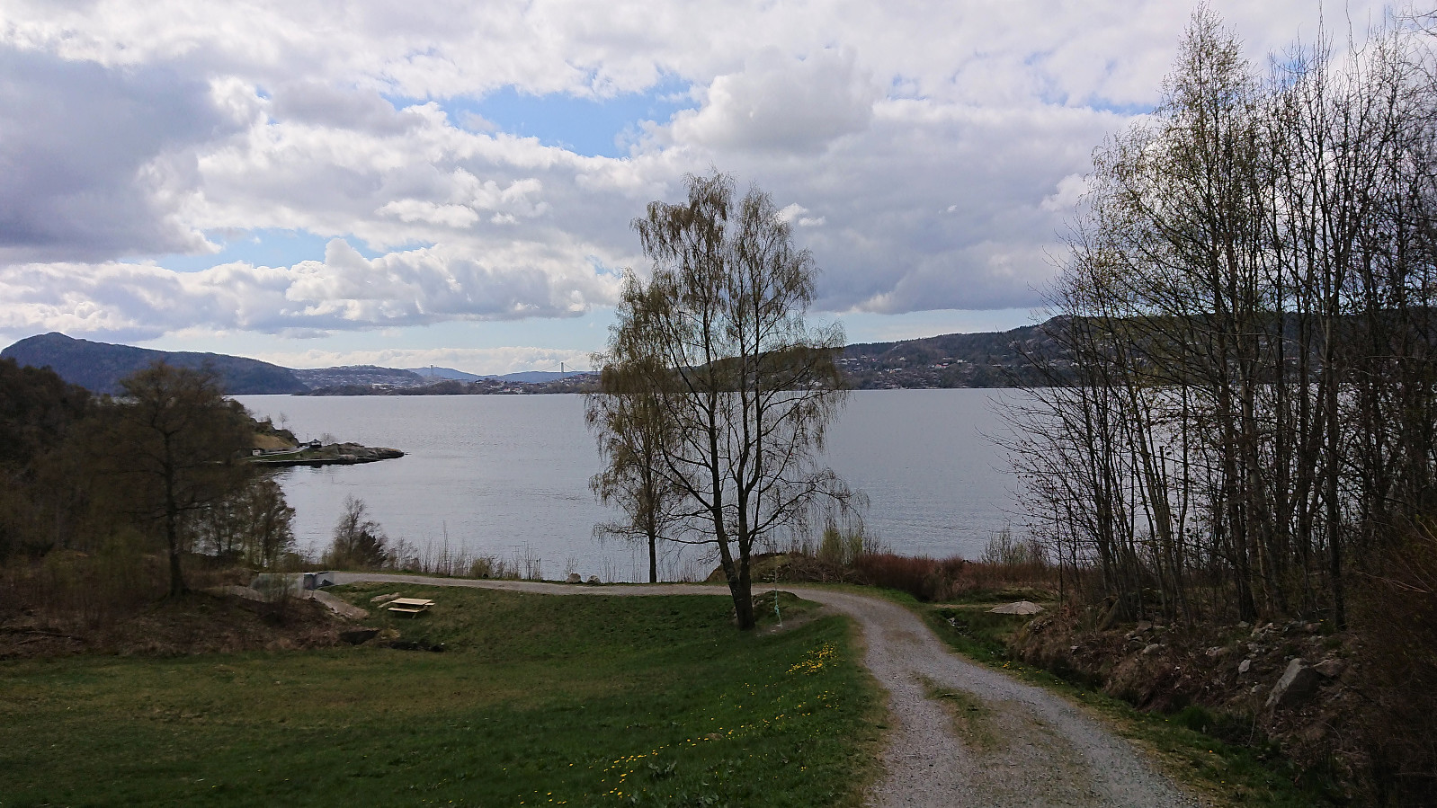
 Cycling trip that also included a visit of Storakvitefjellet . Started by following the standard cycling route to Søfteland, where I turned southwest up the very steep Langedalen. Next, I passed by the ruins at Lysekloster on my way to Lysefjorden and Nordvik. Here I easily located the tractor road taking me to the unmarked trailhead for Storakvitefjellet. In order to get to the trailhead a small stream had to be crossed, but this was straightforward given multiple strategically placed rocks. At the trailhead I left the bike behind and continued towards the summit on foot.
The trail was a bit wet early on, but was overall of good quality and easy to follow. It did however disappear (or perhaps split into multiple options?) when crossing a wet area below the summit, but by then the direction was pretty obvious, and the trail shortly >>>
Cycling trip that also included a visit of Storakvitefjellet . Started by following the standard cycling route to Søfteland, where I turned southwest up the very steep Langedalen. Next, I passed by the ruins at Lysekloster on my way to Lysefjorden and Nordvik. Here I easily located the tractor road taking me to the unmarked trailhead for Storakvitefjellet. In order to get to the trailhead a small stream had to be crossed, but this was straightforward given multiple strategically placed rocks. At the trailhead I left the bike behind and continued towards the summit on foot.
The trail was a bit wet early on, but was overall of good quality and easy to follow. It did however disappear (or perhaps split into multiple options?) when crossing a wet area below the summit, but by then the direction was pretty obvious, and the trail shortly >>>
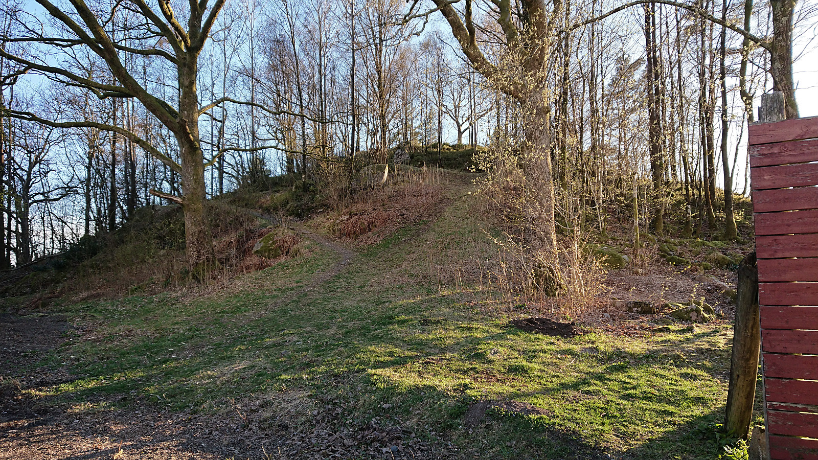
Ørneberget and Rognåsen
- Dato:
- 30.04.2021
- Turtype:
- Fjelltur
- Turlengde:
- 2:55t
- Distanse:
- 5,3km
 Short local evening hike.
