Archive - Date
Archive - Activity
-
Bike trip (108)
- Bike trip - mixed (25)
- Bike trip - road (83)
-
Drive (9)
- Car drive (9)
-
Other trip (3)
- Kayaking (3)
-
Ski trip (109)
- Backcountry skiing (65)
- Cross-country skiing (44)
- Trip by foot (1782)
Collected lists
-
Voss ≥ 100m pf.
(96/98)
 97%
97% -
Opptur Hordaland
(143/159)
89%
-
Stasjoner på Bergensbanen
(31/40)
77%
-
Ulvik ≥ 100m pf.
(28/38)
73%
-
Hordaland ≥ 100m pf.
(613/863)
71%
-
Mjølfjell PF > 100m
(21/31)
67%
-
Jondal ≥ 100m pf.
(15/23)
65%
-
Sunnhordland PF >= 100m
(104/186)
55%
-
Dagsturhyttene i Vestland
(33/61)
54%
-
Hordaland: Hardanger PF>=100m
(186/359)
51%
-
Kvinnherad ≥ 100m pf.
(40/79)
50%
-
DNT-hytter i Hordaland
(22/45)
48%
-
Sogndal ≥ 100m pf.
(23/81)
28%
-
Vik i Sogn ≥ 100m pf.
(8/46)
17%
-
DNT-hytter i Sogn og Fjordane
(8/47)
17%
-
Eidfjord ≥ 100m pf.
(7/42)
16%
-
Etne ≥ 100m pf.
(7/51)
13%
-
Ullensvang ≥ 100m pf.
(21/153)
13%
-
Sogn - Sør for Sognefjorden PF>=100m
(17/159)
10%
-
Opptur i Sogn og Fjordane peaks
(17/177)
9%

Flot and Barsnesfjorden
- Date:
- 28.07.2020
- Characteristic:
- Hillwalk
- Duration:
- 1:47h
- Distance:
- 6.2km
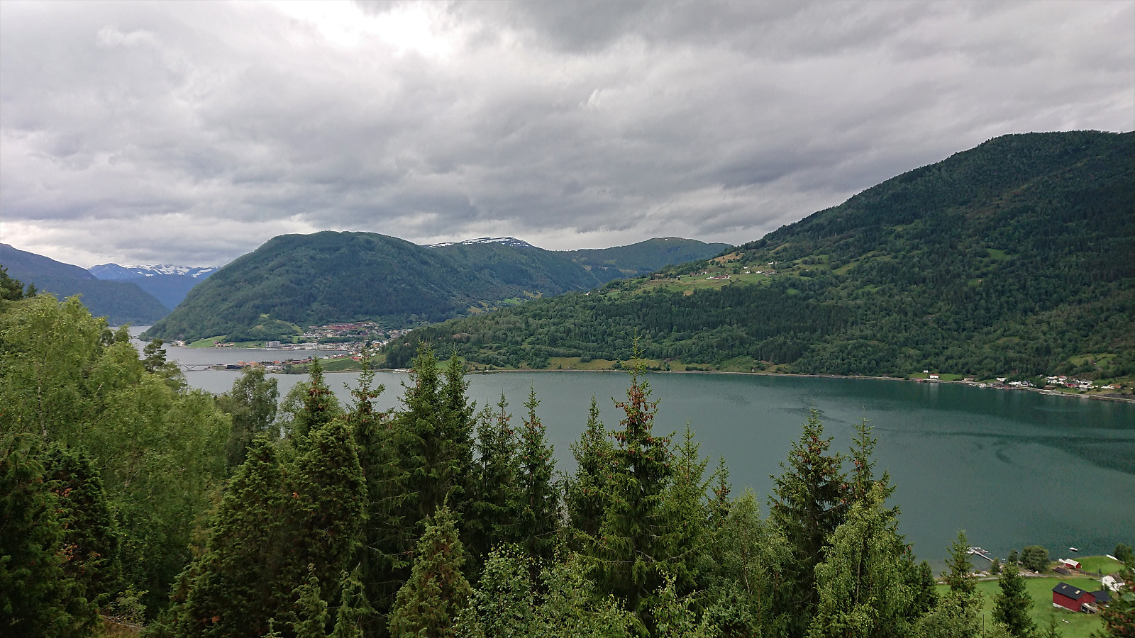 A repeat of the hike across Flot. This time with Sigjoern (Sigbjørn Holm) and Marthine, and also including a walk along Barsnesfjorden.
(Note that the road this hike follows is private, i.e. no cars allowed. There are however a couple of parking spaces down by the small wharf along Barsnesfjorden just before the road turns west and starts climbing slightly towards the crossroads at Barsnes.)
A repeat of the hike across Flot. This time with Sigjoern (Sigbjørn Holm) and Marthine, and also including a walk along Barsnesfjorden.
(Note that the road this hike follows is private, i.e. no cars allowed. There are however a couple of parking spaces down by the small wharf along Barsnesfjorden just before the road turns west and starts climbing slightly towards the crossroads at Barsnes.)
Barsnesfjorden
- Date:
- 27.07.2020
- Characteristic:
- Hike
- Duration:
- 1:06h
- Distance:
- 4.7km
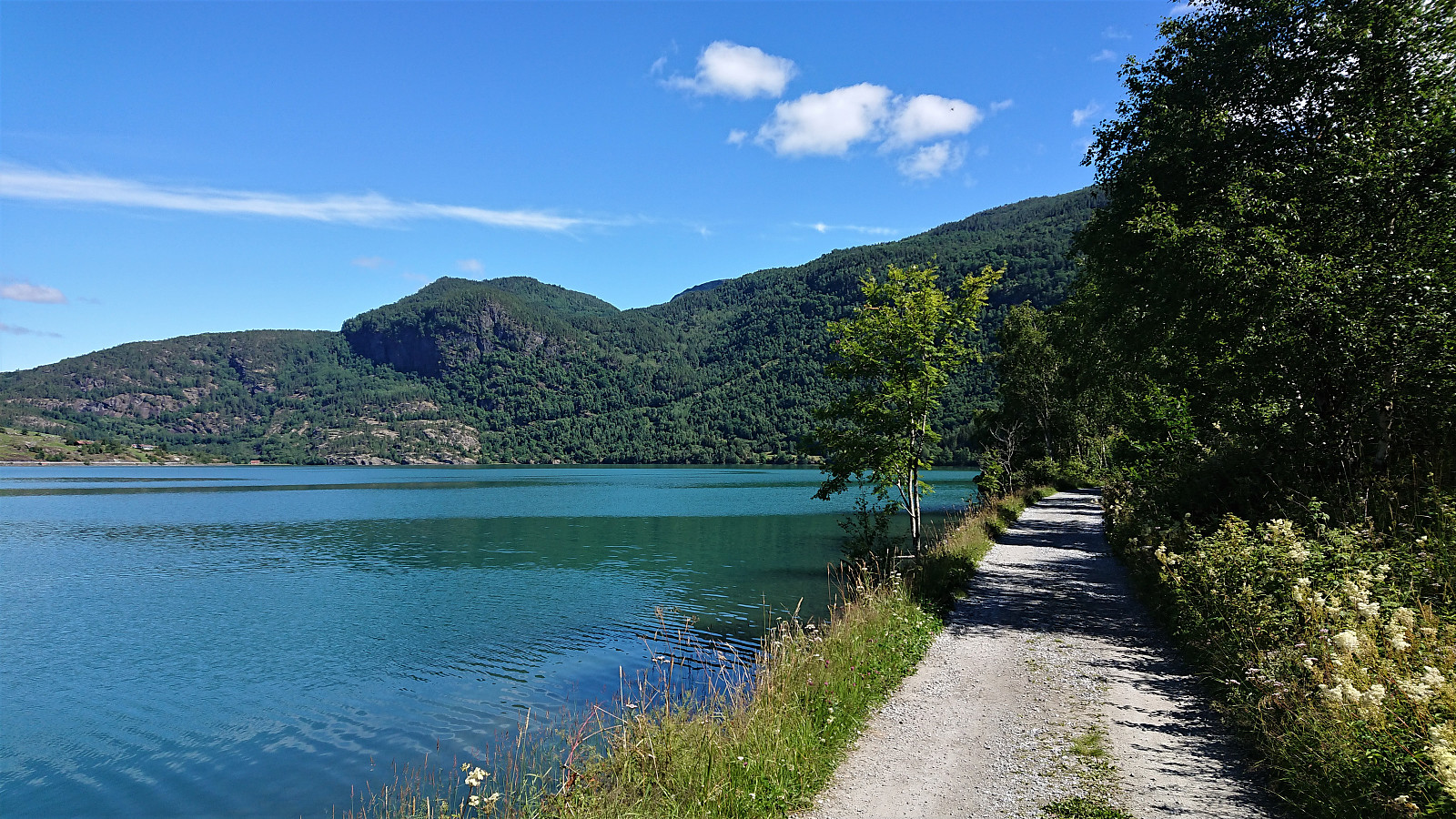
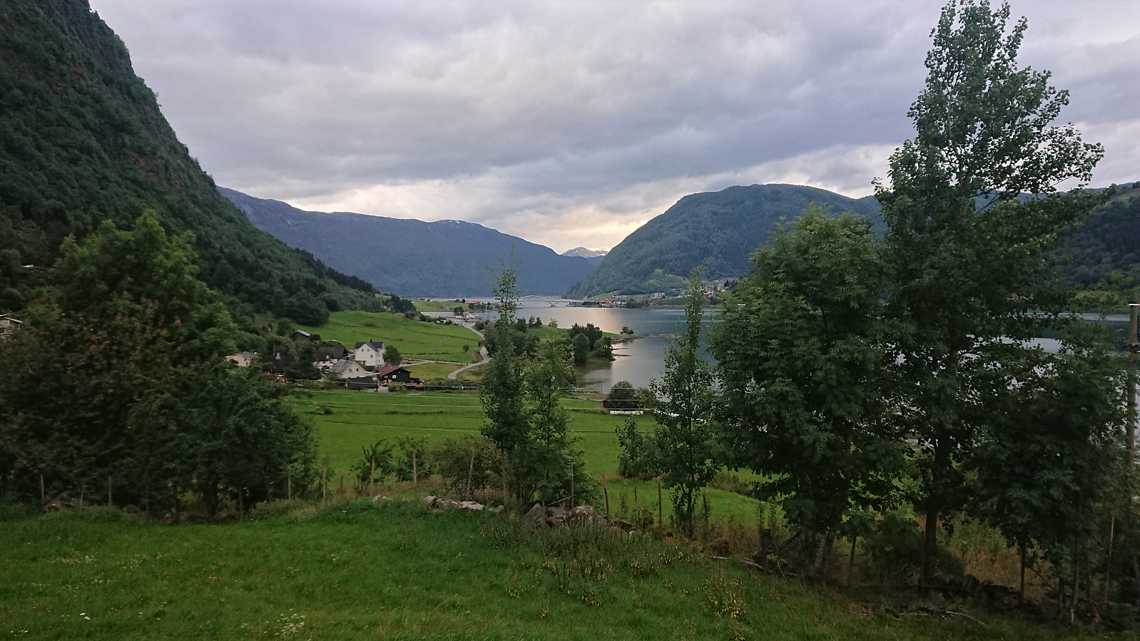 Another short walk along Barsnesfjorden.
(Note that the road this hike follows is private, i.e. no cars allowed. There are however a couple of parking spaces down by the small wharf along Barsnesfjorden just before the road turns west and starts climbing slightly towards the crossroads at Barsnes.)
Another short walk along Barsnesfjorden.
(Note that the road this hike follows is private, i.e. no cars allowed. There are however a couple of parking spaces down by the small wharf along Barsnesfjorden just before the road turns west and starts climbing slightly towards the crossroads at Barsnes.)
Øygarden from Fimreitevegen
- Date:
- 27.07.2020
- Characteristic:
- Hike
- Duration:
- 1:55h
- Distance:
- 8.3km
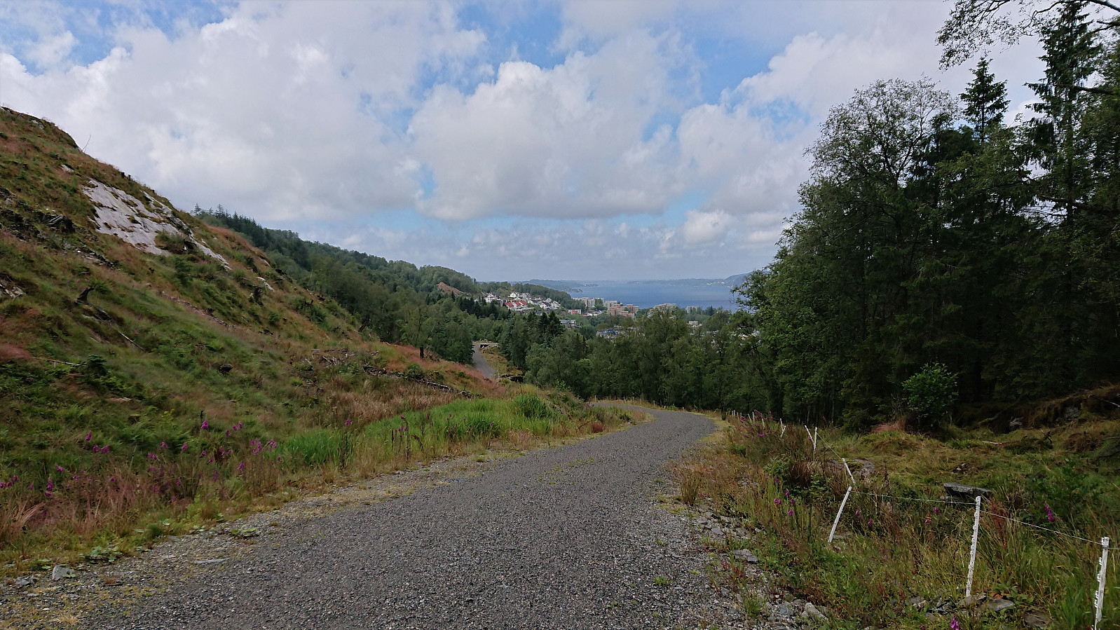
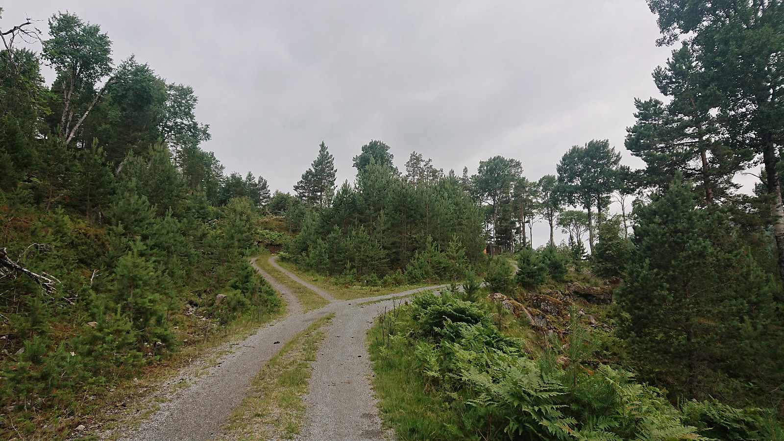 A short hike from Fimreitevegen to Øygarden along a nice gravel road. When the gravel road ended, we shortly followed the rougher tractor road to see of we could spot the start of a trail towards Lingesetfjellet , but turned back when it started raining. Connecting with the trail south of Vinesstølen should not be too difficult though. Something to try for a future hike.
Flot
- Date:
- 26.07.2020
- Characteristic:
- Hillwalk
- Duration:
- 2:25h
- Distance:
- 3.5km
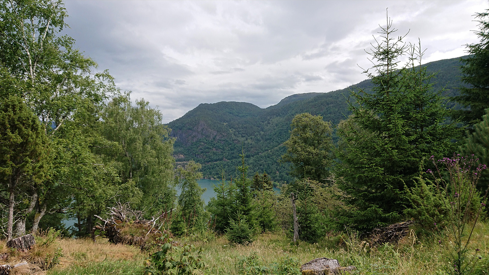 The standard walk across Flot with family members including kids, hence the numerous breaks and slow speed. :)
(Note that the road this hike follows is private, i.e. no cars allowed. There are however a couple of parking spaces down by the small wharf along Barsnesfjorden just before the road turns west and starts climbing slightly towards the crossroads at Barsnes.)
The standard walk across Flot with family members including kids, hence the numerous breaks and slow speed. :)
(Note that the road this hike follows is private, i.e. no cars allowed. There are however a couple of parking spaces down by the small wharf along Barsnesfjorden just before the road turns west and starts climbing slightly towards the crossroads at Barsnes.)
Stav from Hella
- Date:
- 24.07.2020
- Characteristic:
- Hillwalk
- Duration:
- 8:20h
- Distance:
- 24.7km
 On what would turn out to be a perfect day for hiking, me and my niece started the day by taking the first bus from Sogndal to Hella, where we planned to get off at the stopped called "Hella indre". But for some reason the bus driver did not stop (even though we pressed the stop button), and we therefore had to walk the 800 meters back from the Hella. Here we easily located the marked trailhead for Vassvarden and proceeded to follow the nice winding trail up towards Vestrheim.
At Vestrheim we came across the old school building and a sign pointing left (i.e. west) for Ruud (or Rud as it was called on the map), our next target. However, this trail quickly started descending and seemed to be heading in the wrong direction. We therefore shortly returned to the old school where we found another >>>
On what would turn out to be a perfect day for hiking, me and my niece started the day by taking the first bus from Sogndal to Hella, where we planned to get off at the stopped called "Hella indre". But for some reason the bus driver did not stop (even though we pressed the stop button), and we therefore had to walk the 800 meters back from the Hella. Here we easily located the marked trailhead for Vassvarden and proceeded to follow the nice winding trail up towards Vestrheim.
At Vestrheim we came across the old school building and a sign pointing left (i.e. west) for Ruud (or Rud as it was called on the map), our next target. However, this trail quickly started descending and seemed to be heading in the wrong direction. We therefore shortly returned to the old school where we found another >>>
Barsnesfjorden
- Date:
- 23.07.2020
- Characteristic:
- Hike
- Duration:
- 1:04h
- Distance:
- 4.6km
 Short walk along Barsnesfjorden.
(Note that the road this hike follows is private, i.e. no cars allowed. There are however a couple of parking spaces down by the small wharf along Barsnesfjorden just before the road turns west and starts climbing slightly towards the crossroads at Barsnes.)
Short walk along Barsnesfjorden.
(Note that the road this hike follows is private, i.e. no cars allowed. There are however a couple of parking spaces down by the small wharf along Barsnesfjorden just before the road turns west and starts climbing slightly towards the crossroads at Barsnes.)
Ovriseggi
- Date:
- 22.07.2020
- Characteristic:
- Hillwalk
- Duration:
- 0:59h
- Distance:
- 3.7km
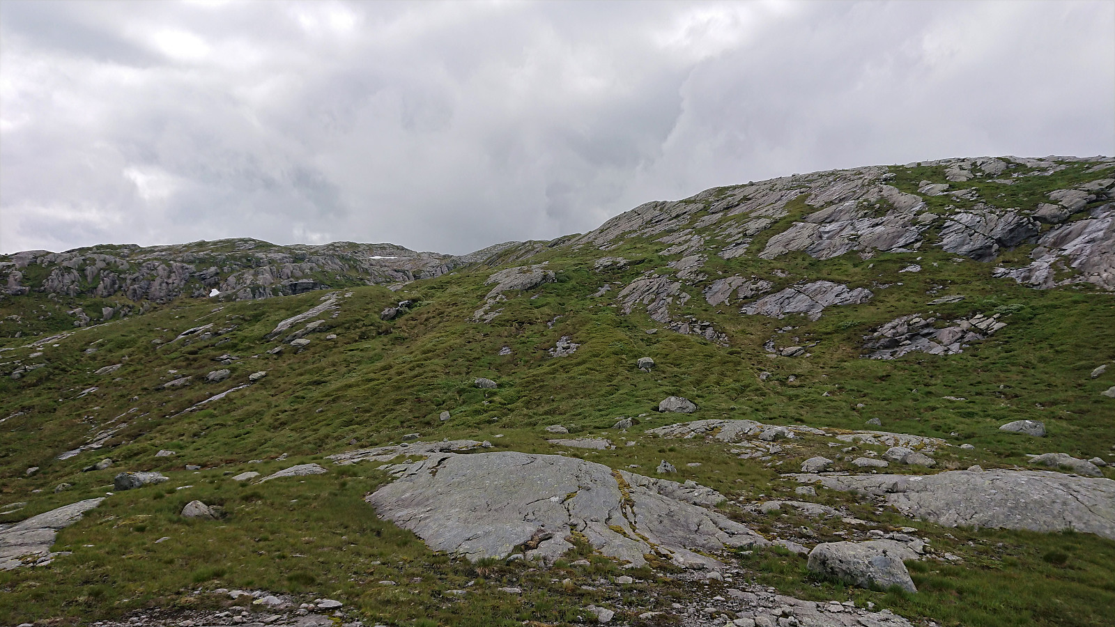
 On the way from Bergen to Sogndal we stopped at the start of the descent to Vik for a quick visit of Ovriseggi . Note that the right-hand turn into Ovridseggi parkering is partially hidden when coming from the south and requires a steep turn. From the parking lot we followed the marked trail north along the ridge, with excellent views into Ovrisdalen. The trail had some wet areas, but was otherwise straightforward to follow.
Just before reaching the summit of Ovriseggi, we had to descend relatively steeply into a small valley before making the final ascent to the highest point. This potentially slippery section can however easily be avoided by following the alternative trail to the west (see the return route). The summit provided excellent views down into Bøadalen, although Vik itself was partially hidden by Daurmålshaugen . The trail >>>
On the way from Bergen to Sogndal we stopped at the start of the descent to Vik for a quick visit of Ovriseggi . Note that the right-hand turn into Ovridseggi parkering is partially hidden when coming from the south and requires a steep turn. From the parking lot we followed the marked trail north along the ridge, with excellent views into Ovrisdalen. The trail had some wet areas, but was otherwise straightforward to follow.
Just before reaching the summit of Ovriseggi, we had to descend relatively steeply into a small valley before making the final ascent to the highest point. This potentially slippery section can however easily be avoided by following the alternative trail to the west (see the return route). The summit provided excellent views down into Bøadalen, although Vik itself was partially hidden by Daurmålshaugen . The trail >>>
Sandviksbatteriet
- Date:
- 19.07.2020
- Characteristic:
- Hike
- Duration:
- 1:48h
- Distance:
- 9.4km
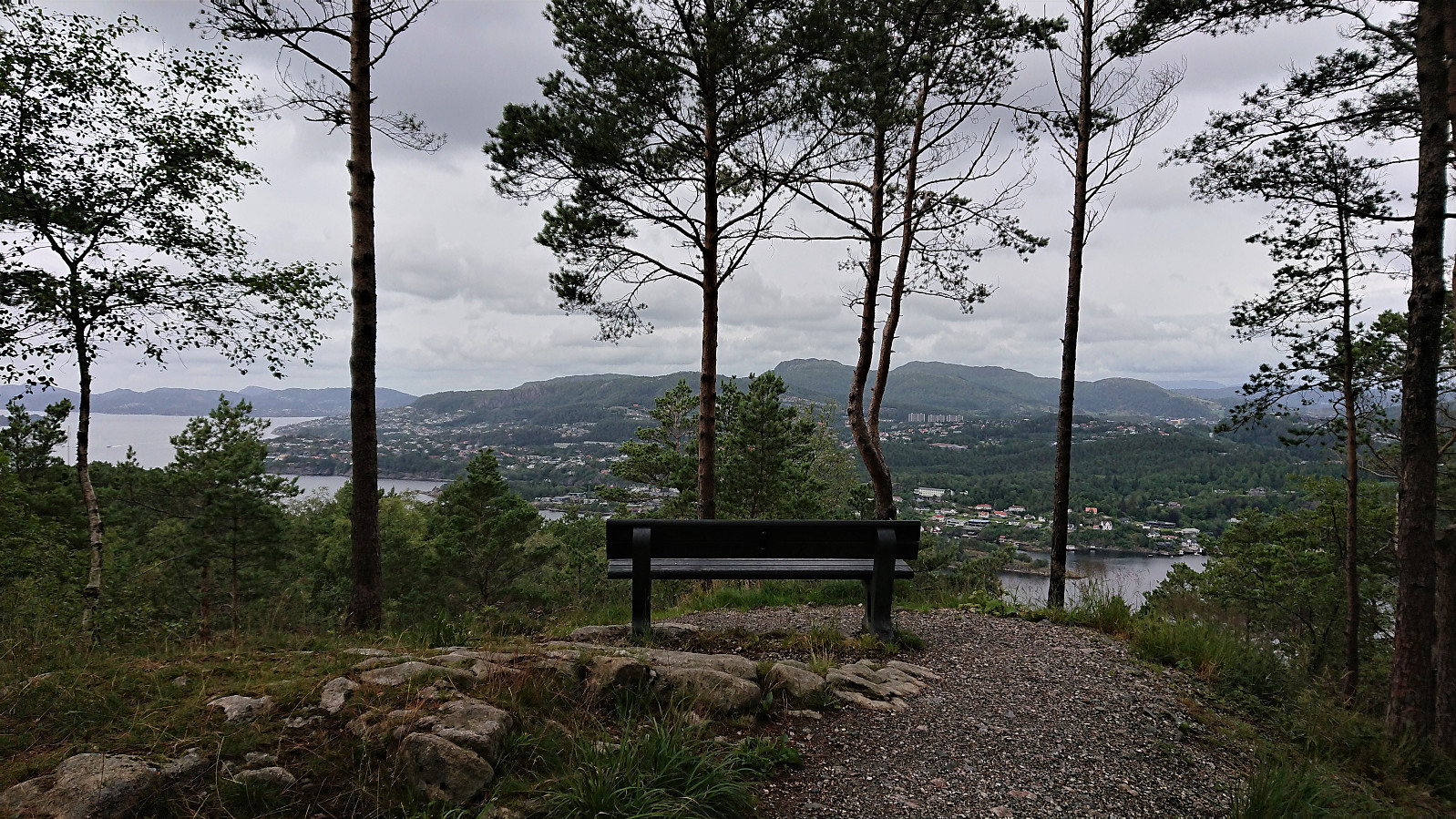 Local hike to Sandviksbatteriet via Permisjonsstien.
Bergen: Jubileumsstien (Stage 7 and 8)
- Date:
- 18.07.2020
- Characteristic:
- Hillwalk
- Duration:
- 2:58h
- Distance:
- 12.0km
 Jubileumsstien
 is a new trail (or mainly a combination of existing trails) that makes it possible to hike across Bergen, from Krokeide in the south to Tellevik in the north, a total distance of about 55 km. This hike includes Stage 7 and 8, the two final stages, from Myrdalsvegen to Tellevik kai. See my reports for the previous stages here: Stage 1 and 2 , Stage 3 and 4 , and Stage 5 and 6 .
Stage 7: Myrdalsvegen to Støbotn
From the marked trailhead at Myrdalsvegen the trail winded its way up towards Ulsetvarden , making several odd turns along the way. Thankfully all of them were clearly marked, as the trail itself was rather weak at the start. It also turned relatively muddy before reaching the summit. Ulsetvarden provided nice views back towards Åsane and also northwest in the direction of Toppe.
The trail northwest from Ulsetvarden to the >>>
Jubileumsstien
Jubileumsstien is a new trail (or mainly a combination of existing trails) that makes it possible to hike across Bergen, from Krokeide in the south to Tellevik in the north, a total distance of about 55 km. This hike includes Stage 7 and 8, the two final stages, from Myrdalsvegen to Tellevik kai. See my reports for the previous stages here: Stage 1 and 2 , Stage 3 and 4 , and Stage 5 and 6 .
Stage 7: Myrdalsvegen to Støbotn
From the marked trailhead at Myrdalsvegen the trail winded its way up towards Ulsetvarden , making several odd turns along the way. Thankfully all of them were clearly marked, as the trail itself was rather weak at the start. It also turned relatively muddy before reaching the summit. Ulsetvarden provided nice views back towards Åsane and also northwest in the direction of Toppe.
The trail northwest from Ulsetvarden to the >>>
Brattanakken and Midtnova
- Date:
- 16.07.2020
- Characteristic:
- Hillwalk
- Duration:
- 7:45h
- Distance:
- 18.1km
 A hike with two colleagues starting from Øyane p-plass and from there following a tractor road up Øyadalen to Dalastølen, and then a marked trail along the river to Gavvatnet. Nice steady ascent with only a short steeper section towards the end.
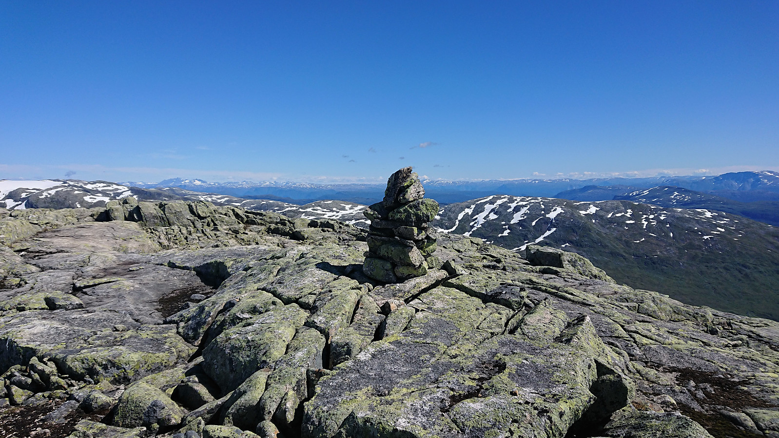
At Gavvatnet, my two colleagues stayed behind for an extended lunch break while I waded across the river to continue on my own to Brattanakken . First ascending steeply towards Geitahaugen, before turning southeast for the summit of Brattanakken when the terrain turned less steep, and reaching the summit without any difficulties, which provided nice views in all directions, including an unusual view of Storenipa .
I returned to my colleagues along pretty much the same route, and together we continued on the marked trail to Hesjedalsstølen via Øyastølen. We did not go all the way to Hesjedalstølen >>>
A hike with two colleagues starting from Øyane p-plass and from there following a tractor road up Øyadalen to Dalastølen, and then a marked trail along the river to Gavvatnet. Nice steady ascent with only a short steeper section towards the end.
At Gavvatnet, my two colleagues stayed behind for an extended lunch break while I waded across the river to continue on my own to Brattanakken . First ascending steeply towards Geitahaugen, before turning southeast for the summit of Brattanakken when the terrain turned less steep, and reaching the summit without any difficulties, which provided nice views in all directions, including an unusual view of Storenipa .
I returned to my colleagues along pretty much the same route, and together we continued on the marked trail to Hesjedalsstølen via Øyastølen. We did not go all the way to Hesjedalstølen >>>
