Archive - Date
Archive - Activity
-
Bike trip (108)
- Bike trip - mixed (25)
- Bike trip - road (83)
-
Drive (9)
- Car drive (9)
-
Other trip (3)
- Kayaking (3)
-
Ski trip (109)
- Backcountry skiing (65)
- Cross-country skiing (44)
- Trip by foot (1782)
Collected lists
-
Voss ≥ 100m pf.
(96/98)
 97%
97% -
Opptur Hordaland
(143/159)
89%
-
Stasjoner på Bergensbanen
(31/40)
77%
-
Ulvik ≥ 100m pf.
(28/38)
73%
-
Hordaland ≥ 100m pf.
(613/863)
71%
-
Mjølfjell PF > 100m
(21/31)
67%
-
Jondal ≥ 100m pf.
(15/23)
65%
-
Sunnhordland PF >= 100m
(104/186)
55%
-
Dagsturhyttene i Vestland
(33/61)
54%
-
Hordaland: Hardanger PF>=100m
(186/359)
51%
-
Kvinnherad ≥ 100m pf.
(40/79)
50%
-
DNT-hytter i Hordaland
(22/45)
48%
-
Sogndal ≥ 100m pf.
(23/81)
28%
-
Vik i Sogn ≥ 100m pf.
(8/46)
17%
-
DNT-hytter i Sogn og Fjordane
(8/47)
17%
-
Eidfjord ≥ 100m pf.
(7/42)
16%
-
Etne ≥ 100m pf.
(7/51)
13%
-
Ullensvang ≥ 100m pf.
(21/153)
13%
-
Sogn - Sør for Sognefjorden PF>=100m
(17/159)
10%
-
Opptur i Sogn og Fjordane peaks
(17/177)
9%

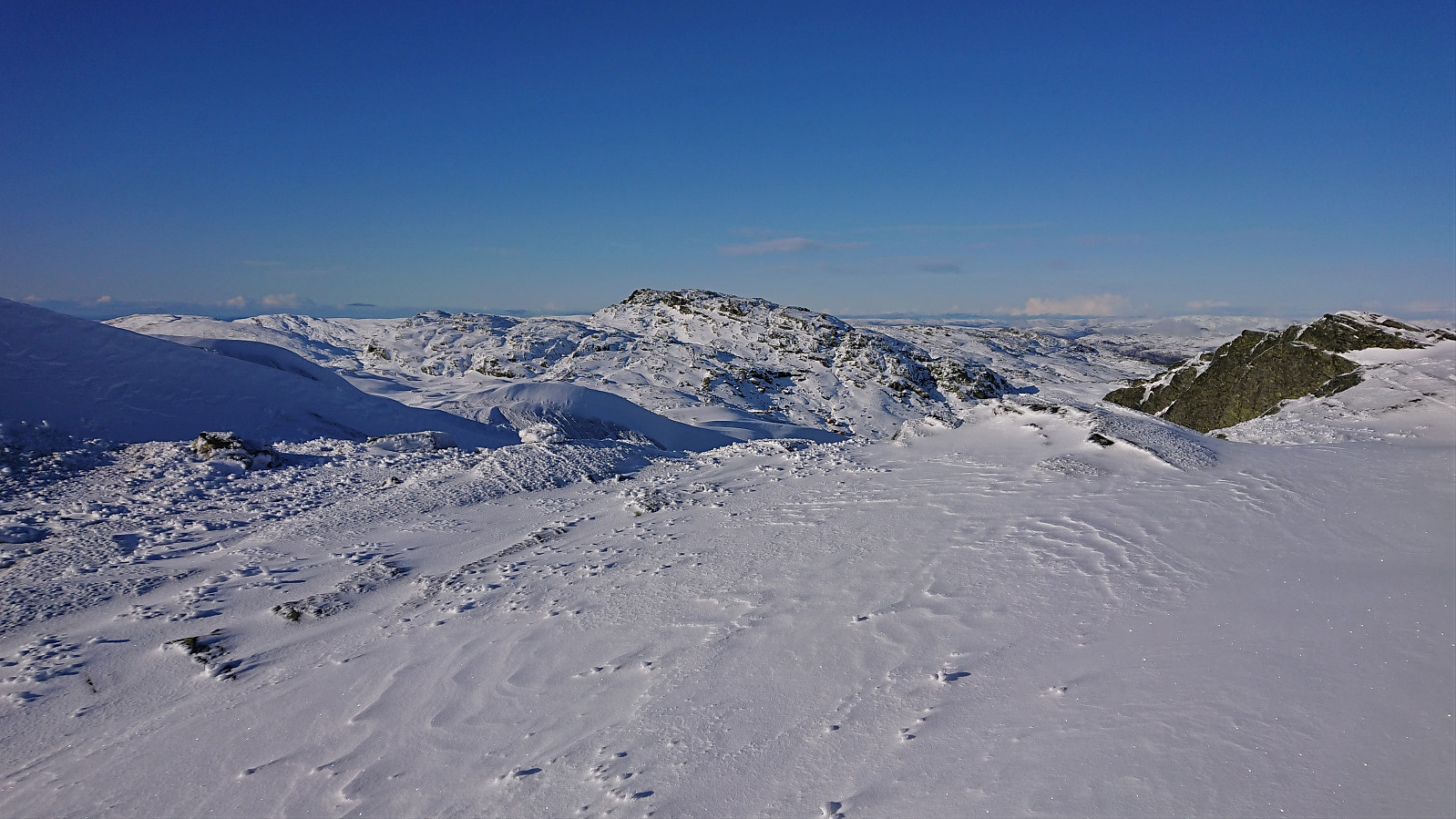
Bergstadfjellet from Evanger
- Date:
- 23.11.2019
- Characteristic:
- Hillwalk
- Duration:
- 4:28h
- Distance:
- 16.0km
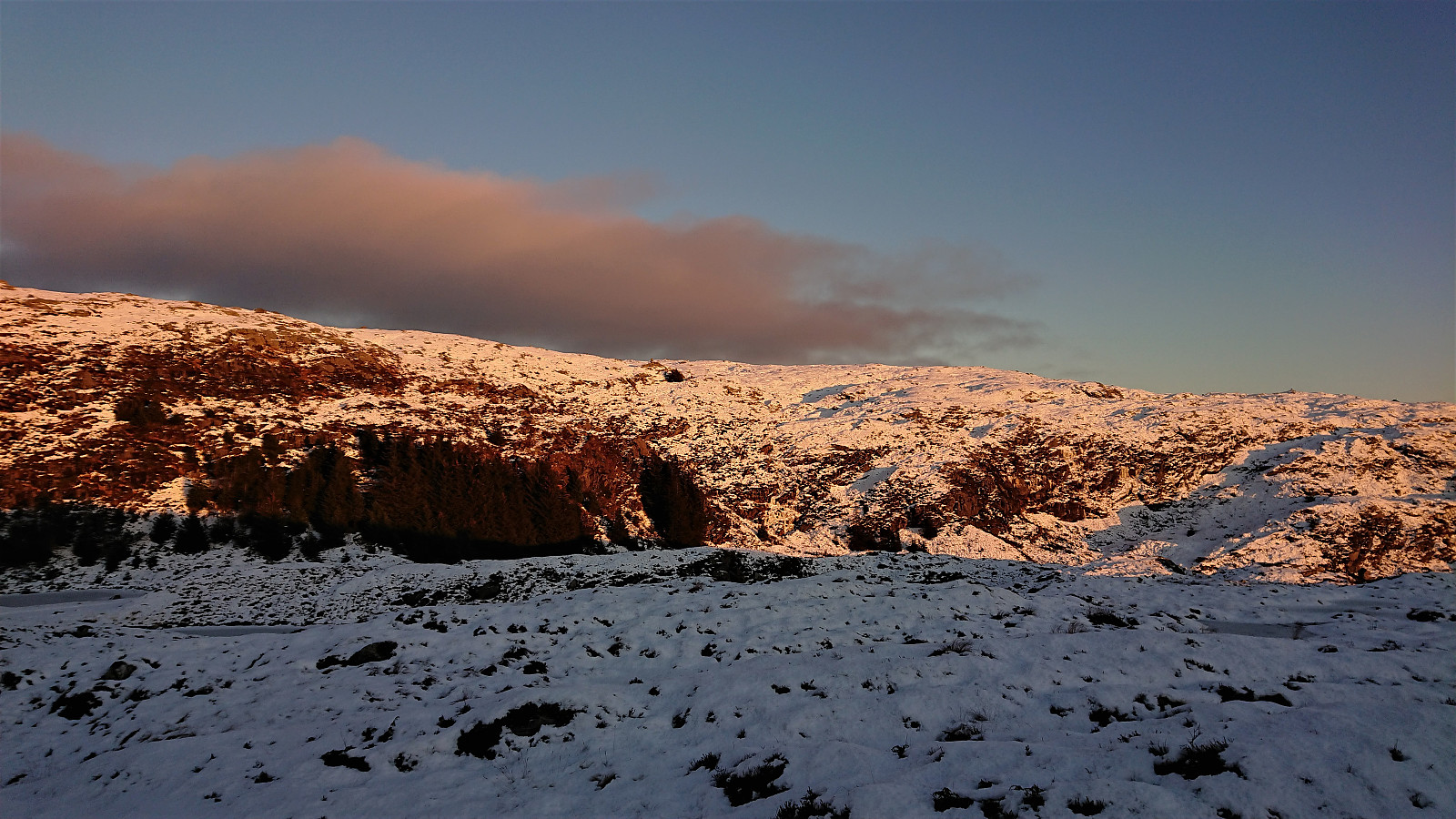
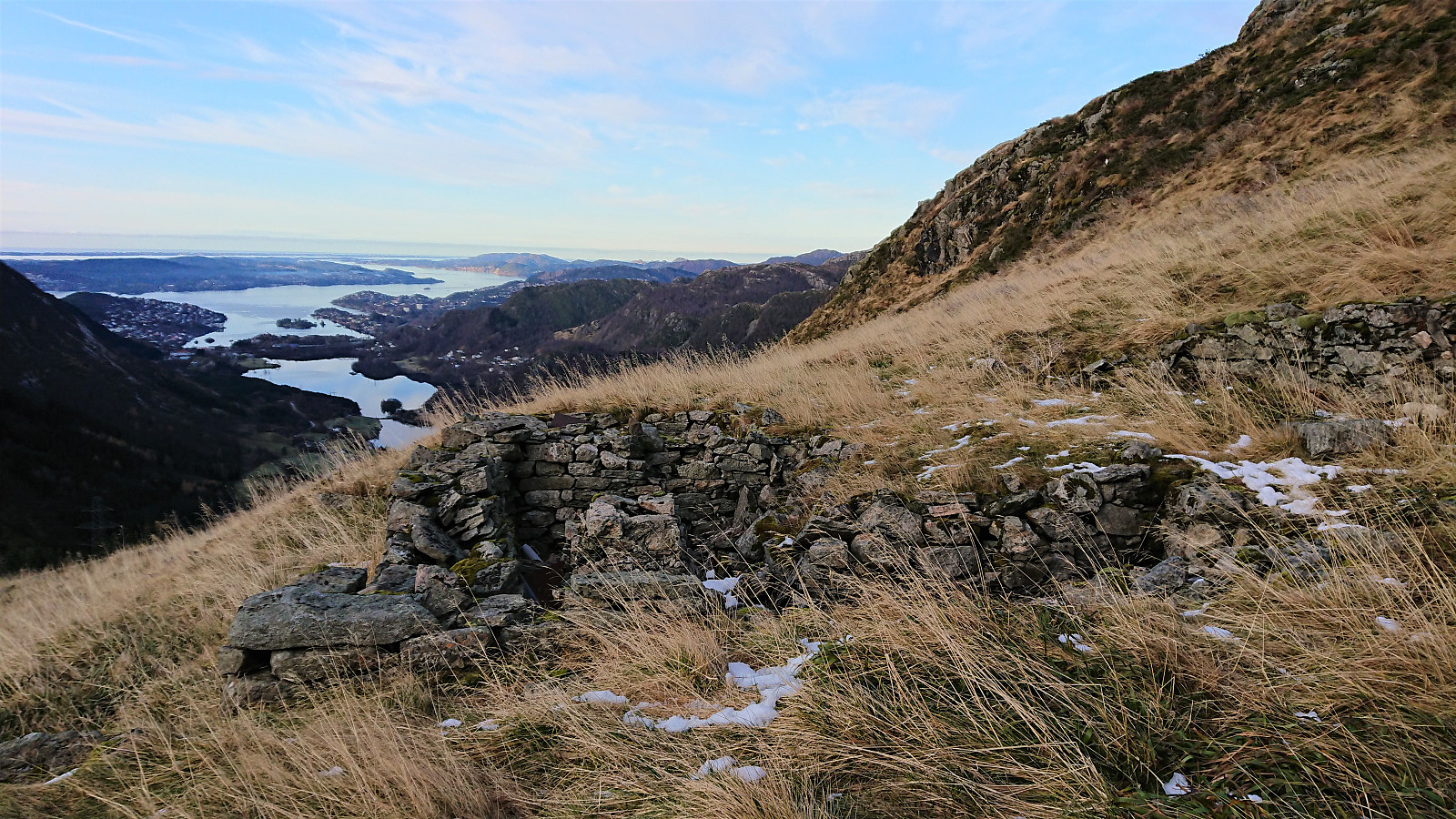
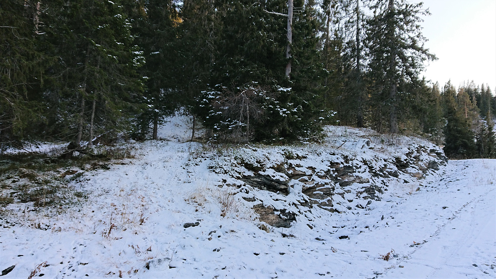
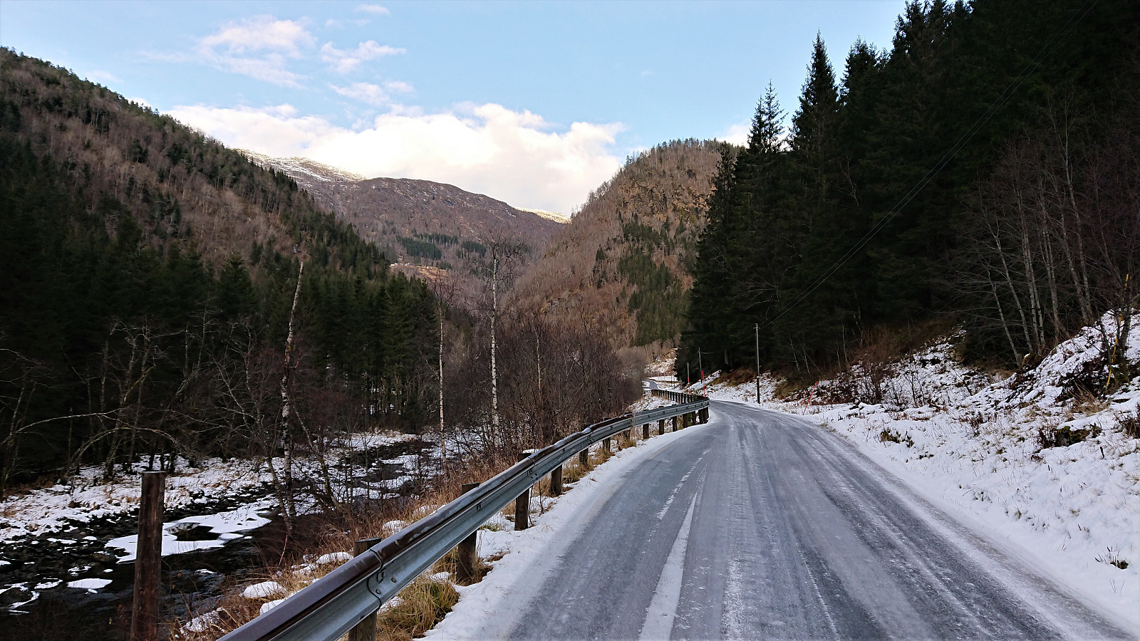 Started by taking the train to Evanger and walking along Teigdalsvegen to Forvene. The road was covered by ice soon after passing Fadnes, but by walking close to the edge of the road, and paying close attention, snow chains were not needed. Upon reaching the short tractor road at Forvene, I left the main road and started searching for a trailhead. Did not find any, so I simply started up the steep ridge, assuming I would come across it later on.
A trail/deer track was shortly discovered. I would put it more in the latter category though, but it did make it easier to progress up the surprisingly steep ascent. The ridge was covered by trees, but these could easily be avoided. Thus there was nothing of the bush war I had mentally prepared for.
At around 200 meters the trail turned much less steep, >>>
Started by taking the train to Evanger and walking along Teigdalsvegen to Forvene. The road was covered by ice soon after passing Fadnes, but by walking close to the edge of the road, and paying close attention, snow chains were not needed. Upon reaching the short tractor road at Forvene, I left the main road and started searching for a trailhead. Did not find any, so I simply started up the steep ridge, assuming I would come across it later on.
A trail/deer track was shortly discovered. I would put it more in the latter category though, but it did make it easier to progress up the surprisingly steep ascent. The ridge was covered by trees, but these could easily be avoided. Thus there was nothing of the bush war I had mentally prepared for.
At around 200 meters the trail turned much less steep, >>>
Soria Moria
- Date:
- 19.11.2019
- Characteristic:
- Hillwalk
- Duration:
- 2:06h
- Distance:
- 7.5km
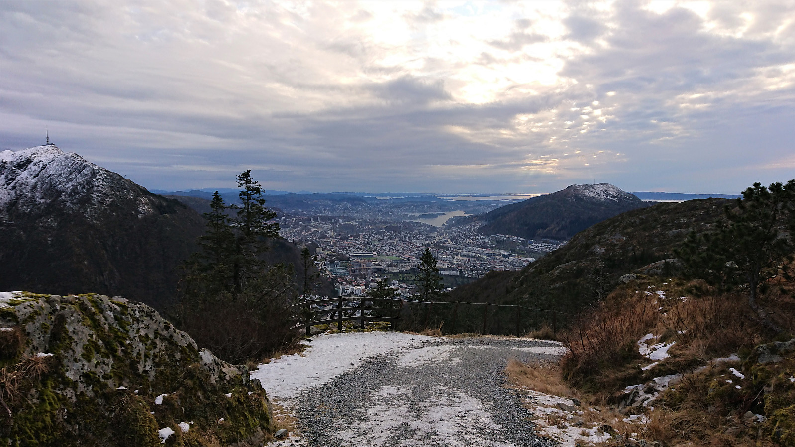
 Left work earlier than usual to take advantage of the nice weather for a quick visit to Soria Moria in order to recomplete the Hytter og objekter i Byfjellene list. The snow chains came on shortly after turning south at the start of Oppstemten , and greatly simplified an otherwise much more challenging hike.
Våkendalen and Jordalsskaret
- Date:
- 17.11.2019
- Characteristic:
- Hillwalk
- Duration:
- 4:52h
- Distance:
- 16.2km
 Another hike to vist more of the newly added elements to the Hytter og objekter i Byfjellene list. This time starting from Svartediket and Våkendalen, and decending via Jordalsskaret.
Fløyen and Rundemanen
- Date:
- 16.11.2019
- Characteristic:
- Hillwalk
- Duration:
- 3:56h
- Distance:
- 18.4km
 Roundtrip at Fløyen and Rundemanen to visit some of the newly added elements on the Hytter og objekter i Byfjellene list. Rather icy conditions from Brushytten up to Rundemanen, so I followed Blåmansveien on the descent which was much better. Also lots of ice from Brushytten to Grindarasten and down to the smaller dam below Storavatnet.
Andershovden, Grauaåsen and Sonvesåsen
- Date:
- 10.11.2019
- Characteristic:
- Hillwalk
- Duration:
- 6:37h
- Distance:
- 30.4km
 Andershovden
After exiting the train at Voss, I walked along the roads to Tvilde where I easily located the marked trailhead. By following the signs for Storeåsen, first along a gravel road and later a long various trail, the progress was straightforward and with some excellent views towards Lønahorgi along the way (which would turn out to be a familiar element throughout the rest of the hike).
Storeåsen itself was not marked, and I did not bother locating the summit. North of Storeåsen, where the trail connected with a gravel road, there was another information sign, from which I followed the trail towards Gudleikstreet, taking me through the Håmyrane nature reserve. (As it turned out, I could also simply have followed the gravel road north for a couple hundred meters and reconnected with the same >>>
Andershovden
After exiting the train at Voss, I walked along the roads to Tvilde where I easily located the marked trailhead. By following the signs for Storeåsen, first along a gravel road and later a long various trail, the progress was straightforward and with some excellent views towards Lønahorgi along the way (which would turn out to be a familiar element throughout the rest of the hike).
Storeåsen itself was not marked, and I did not bother locating the summit. North of Storeåsen, where the trail connected with a gravel road, there was another information sign, from which I followed the trail towards Gudleikstreet, taking me through the Håmyrane nature reserve. (As it turned out, I could also simply have followed the gravel road north for a couple hundred meters and reconnected with the same >>>
Across Hellen festning
- Date:
- 09.11.2019
- Characteristic:
- Hike
- Duration:
- 0:37h
- Distance:
- 3.7km
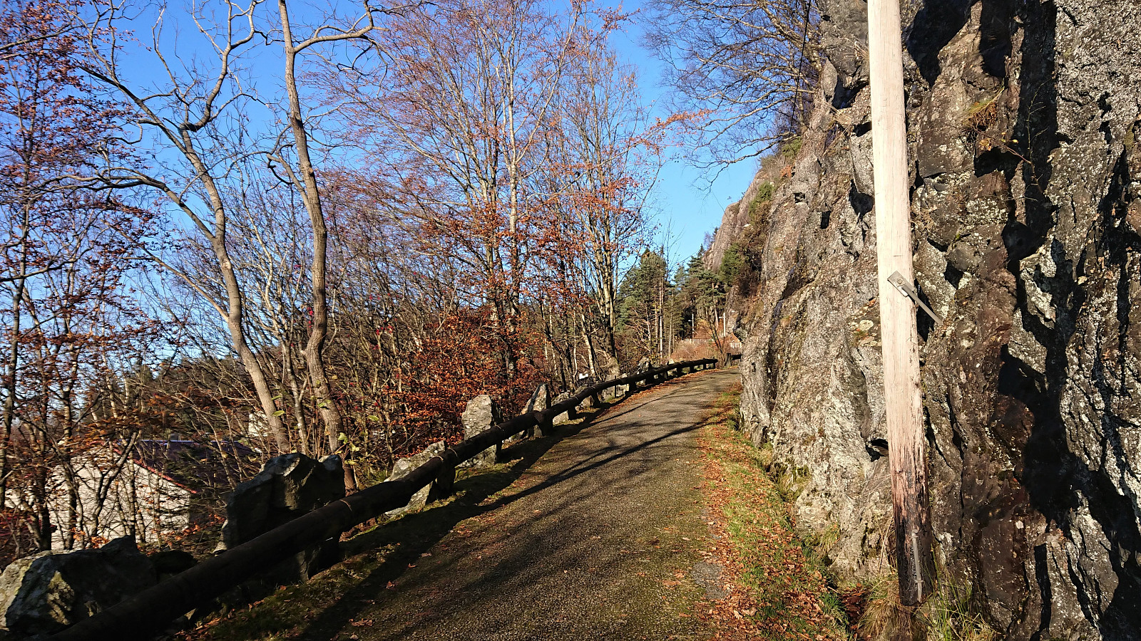 Short local hike across Hellen festning.
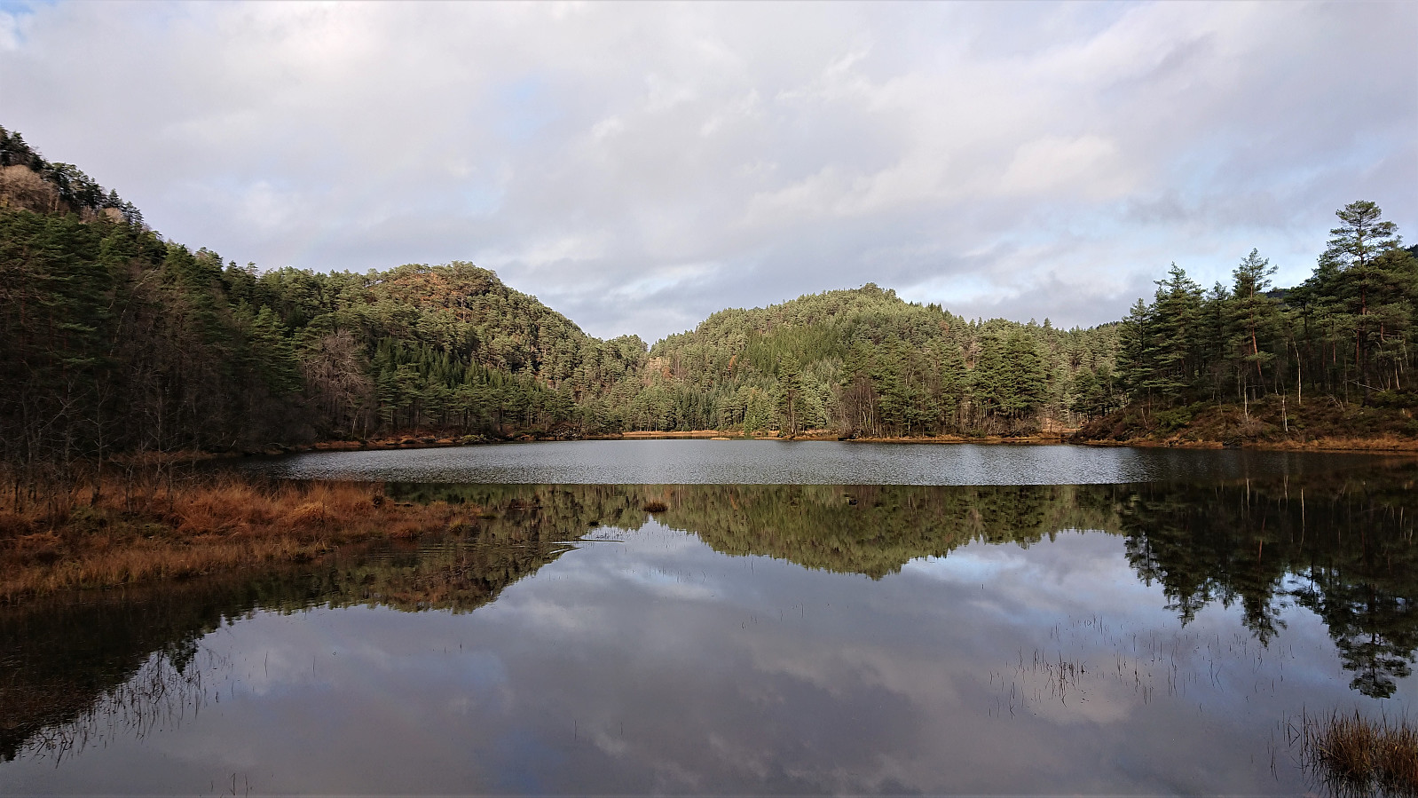
Barsnesfjorden
- Date:
- 01.11.2019
- Characteristic:
- Hike
- Duration:
- 0:51h
- Distance:
- 4.6km
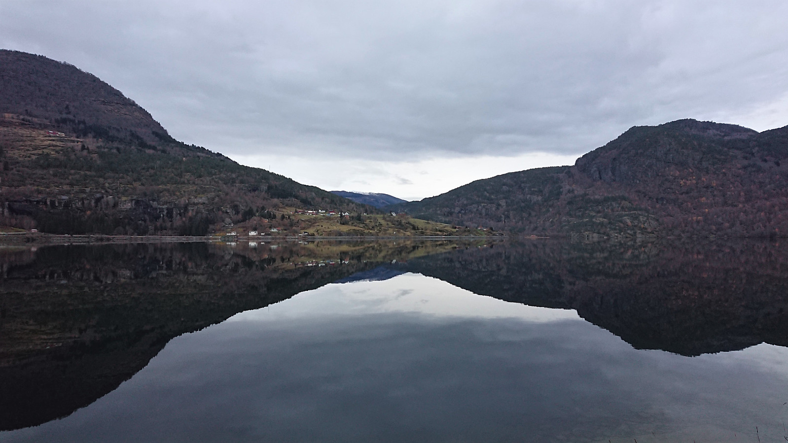 Short walk along Barsnesfjorden.
(Note that the road this hike follows is private, i.e. no cars allowed. There are however a couple of parking spaces down by the small wharf along Barsnesfjorden just before the road turns west and starts climbing slightly towards the crossroads at Barsnes.)
Short walk along Barsnesfjorden.
(Note that the road this hike follows is private, i.e. no cars allowed. There are however a couple of parking spaces down by the small wharf along Barsnesfjorden just before the road turns west and starts climbing slightly towards the crossroads at Barsnes.)
Hellestveitåsen and Seberg
- Date:
- 27.10.2019
- Characteristic:
- Hike
- Duration:
- 0:30h
- Distance:
- 1.9km
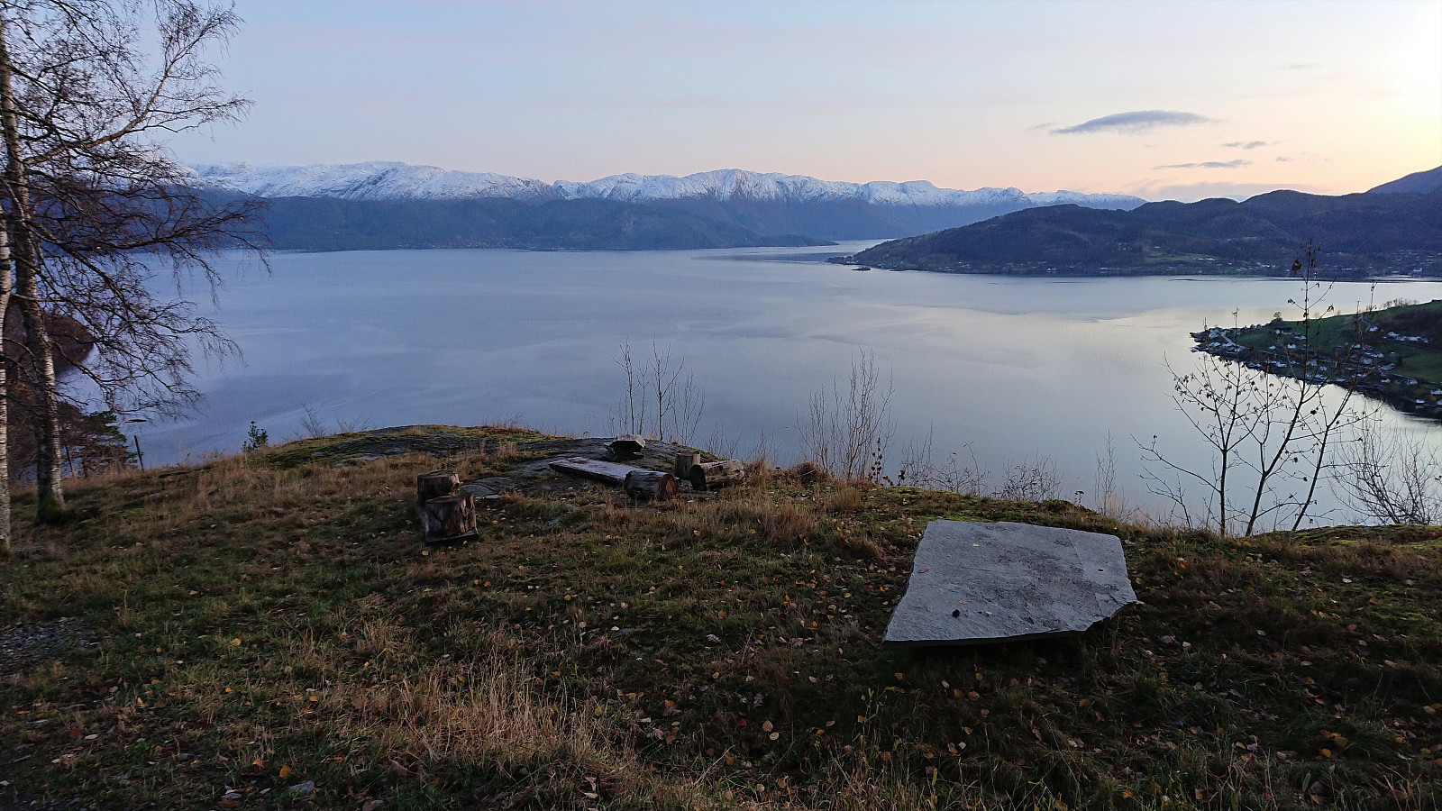 Before returning to Bergen (after our hike to Skrott and Geitafjellet ), me and Endre ( Fjellsamleren (Endre Myrdal Olsen) ) decided to make a short detour to Hellestveitåsen , aiming to also reach the viewpoint at Seberg before it got too dark. An initial attempt to continue driving along the gravel road beyond Hellestveit Gard was quickly abandoned. We therefore parked next to the farm, hoping nobody would mind, and followed the gravel road towards the summit.
When the road ended, a trail took us up to a gate leading into a spruce forest. The forest was relatively dense and provided next to no views, but we had little trouble walking in between the trees. Locating the highest point was more challenging, as there were several similar options to choose from. After visiting all of the most likely candidates we returned to the gravel road, ready for some hopefully much better >>>
Before returning to Bergen (after our hike to Skrott and Geitafjellet ), me and Endre ( Fjellsamleren (Endre Myrdal Olsen) ) decided to make a short detour to Hellestveitåsen , aiming to also reach the viewpoint at Seberg before it got too dark. An initial attempt to continue driving along the gravel road beyond Hellestveit Gard was quickly abandoned. We therefore parked next to the farm, hoping nobody would mind, and followed the gravel road towards the summit.
When the road ended, a trail took us up to a gate leading into a spruce forest. The forest was relatively dense and provided next to no views, but we had little trouble walking in between the trees. Locating the highest point was more challenging, as there were several similar options to choose from. After visiting all of the most likely candidates we returned to the gravel road, ready for some hopefully much better >>>
Skrott, Glynt and Geitafjellet
- Date:
- 27.10.2019
- Characteristic:
- Hillwalk
- Duration:
- 6:49h
- Distance:
- 15.4km
 On what would turn out to be a perfect late October day for hiking, me and Endre ( Fjellsamleren (Endre Myrdal Olsen) ) drove early from Bergen to Fitjadalen, were we started our ascent from the parking lot just after nine, following the marked trail. At about 600 meters we came across the first real snow, and from there on the amount continued to increase the further up we got.
There were some partially hidden footprints in the snow, most likely from the day before, but we were the first hikers this morning, and thus had to make our own path (following the red T’s) up the mountainside. The progress was therefore slower than expected, as we kept sinking deeper and deeper into the snow.
At the cabin southwest of Skrott we left the main trail to Breidablik and instead followed the cairns towards the summit. Here there were no footprints at all, >>>
On what would turn out to be a perfect late October day for hiking, me and Endre ( Fjellsamleren (Endre Myrdal Olsen) ) drove early from Bergen to Fitjadalen, were we started our ascent from the parking lot just after nine, following the marked trail. At about 600 meters we came across the first real snow, and from there on the amount continued to increase the further up we got.
There were some partially hidden footprints in the snow, most likely from the day before, but we were the first hikers this morning, and thus had to make our own path (following the red T’s) up the mountainside. The progress was therefore slower than expected, as we kept sinking deeper and deeper into the snow.
At the cabin southwest of Skrott we left the main trail to Breidablik and instead followed the cairns towards the summit. Here there were no footprints at all, >>>
Høgehaugen
- Date:
- 26.10.2019
- Characteristic:
- Hillwalk
- Duration:
- 1:37h
- Distance:
- 4.3km
 To complete our tour of small peaks along Samnanger-/Eikelandsfjorden, me and Endre ( Fjellsamleren (Endre Myrdal Olsen) ) had saved the worst for last: Høgehaugen . At least that seemed to be the verdict after reading reports from previous visits. We started from the standard location, i.e. the small parking lot next to Sævellavatnet on the border of Fusa and Samnanger. But where everybody else had seemed to stay north of Botnavatnet, we instead headed south, hoping that this would provide an easier route to the elusive trail west of the lake.
After walking 100 meters south along the main road, we continued west and later south/southwest on a forest road, taking us east of Botnavatnet. When the forest road forked, or at least a smaller weaker forest road headed southwest, we briefly followed in the footsteps of a running deer, and then >>>
To complete our tour of small peaks along Samnanger-/Eikelandsfjorden, me and Endre ( Fjellsamleren (Endre Myrdal Olsen) ) had saved the worst for last: Høgehaugen . At least that seemed to be the verdict after reading reports from previous visits. We started from the standard location, i.e. the small parking lot next to Sævellavatnet on the border of Fusa and Samnanger. But where everybody else had seemed to stay north of Botnavatnet, we instead headed south, hoping that this would provide an easier route to the elusive trail west of the lake.
After walking 100 meters south along the main road, we continued west and later south/southwest on a forest road, taking us east of Botnavatnet. When the forest road forked, or at least a smaller weaker forest road headed southwest, we briefly followed in the footsteps of a running deer, and then >>>
