Archive - Date
Archive - Activity
-
Bike trip (108)
- Bike trip - mixed (25)
- Bike trip - road (83)
-
Drive (9)
- Car drive (9)
-
Other trip (3)
- Kayaking (3)
-
Ski trip (109)
- Backcountry skiing (65)
- Cross-country skiing (44)
- Trip by foot (1782)
Collected lists
-
Voss ≥ 100m pf.
(96/98)
 97%
97% -
Opptur Hordaland
(143/159)
89%
-
Stasjoner på Bergensbanen
(31/40)
77%
-
Ulvik ≥ 100m pf.
(28/38)
73%
-
Hordaland ≥ 100m pf.
(613/863)
71%
-
Mjølfjell PF > 100m
(21/31)
67%
-
Jondal ≥ 100m pf.
(15/23)
65%
-
Sunnhordland PF >= 100m
(104/186)
55%
-
Dagsturhyttene i Vestland
(33/61)
54%
-
Hordaland: Hardanger PF>=100m
(186/359)
51%
-
Kvinnherad ≥ 100m pf.
(40/79)
50%
-
DNT-hytter i Hordaland
(22/45)
48%
-
Sogndal ≥ 100m pf.
(23/81)
28%
-
Vik i Sogn ≥ 100m pf.
(8/46)
17%
-
DNT-hytter i Sogn og Fjordane
(8/47)
17%
-
Eidfjord ≥ 100m pf.
(7/42)
16%
-
Etne ≥ 100m pf.
(7/51)
13%
-
Ullensvang ≥ 100m pf.
(21/153)
13%
-
Sogn - Sør for Sognefjorden PF>=100m
(17/159)
10%
-
Opptur i Sogn og Fjordane peaks
(17/177)
9%

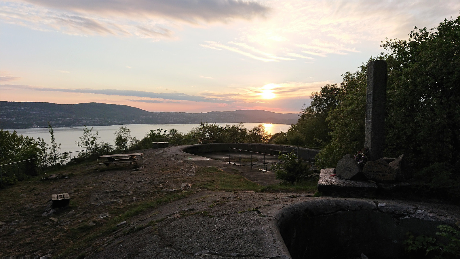
Across Hellen festning
- Date:
- 25.05.2019
- Characteristic:
- Hike
- Duration:
- 0:33h
- Distance:
- 3.2km
 Short local evening hike when the sun came out after an overall gray and rainy day.
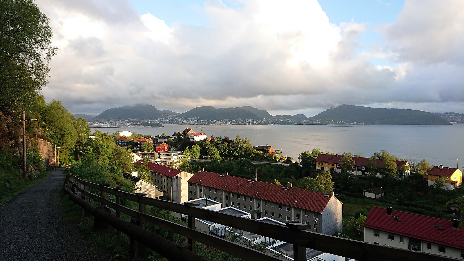
Haukeland sykehus to Munkebotten
- Date:
- 24.05.2019
- Characteristic:
- Walk
- Duration:
- 1:23h
- Distance:
- 7.6km
 Another walk on the way home from work.
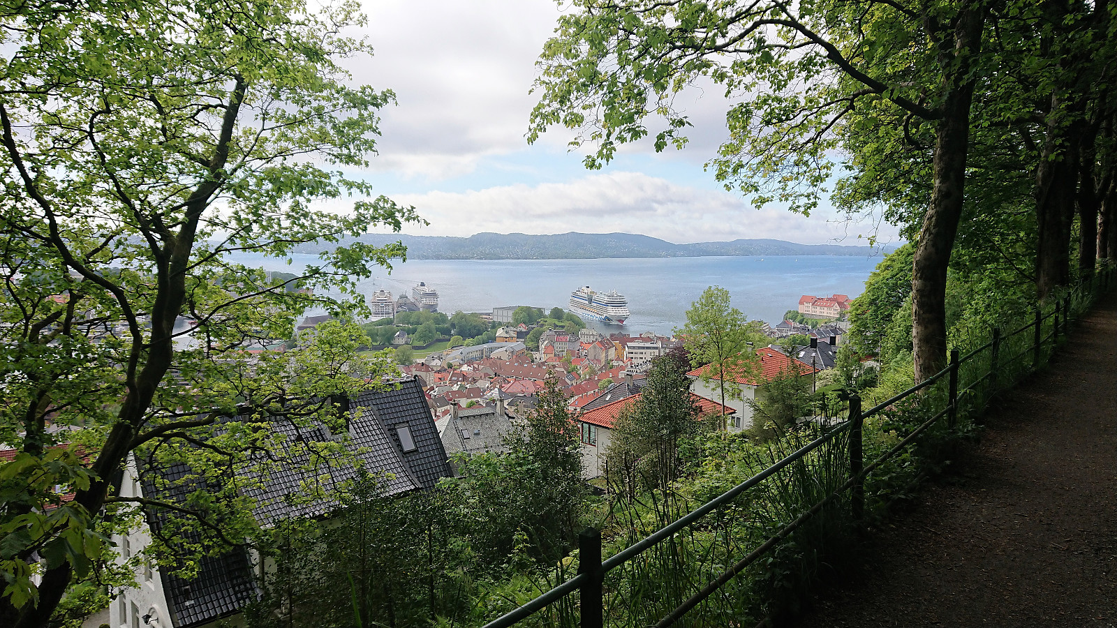
Ørneberget and Hellen festning
- Date:
- 23.05.2019
- Characteristic:
- Hillwalk
- Duration:
- 1:00h
- Distance:
- 4.0km
 Short local evening hike across Ørneberget and Hellen festning in constant rain.
Across Hellen festning
- Date:
- 20.05.2019
- Characteristic:
- Hike
- Duration:
- 0:33h
- Distance:
- 3.2km
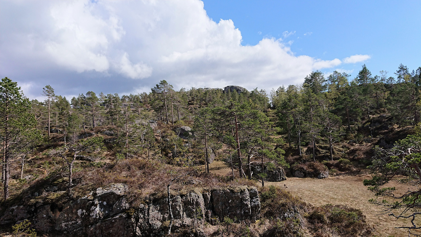
 Short local evening hike across Hellen festning.
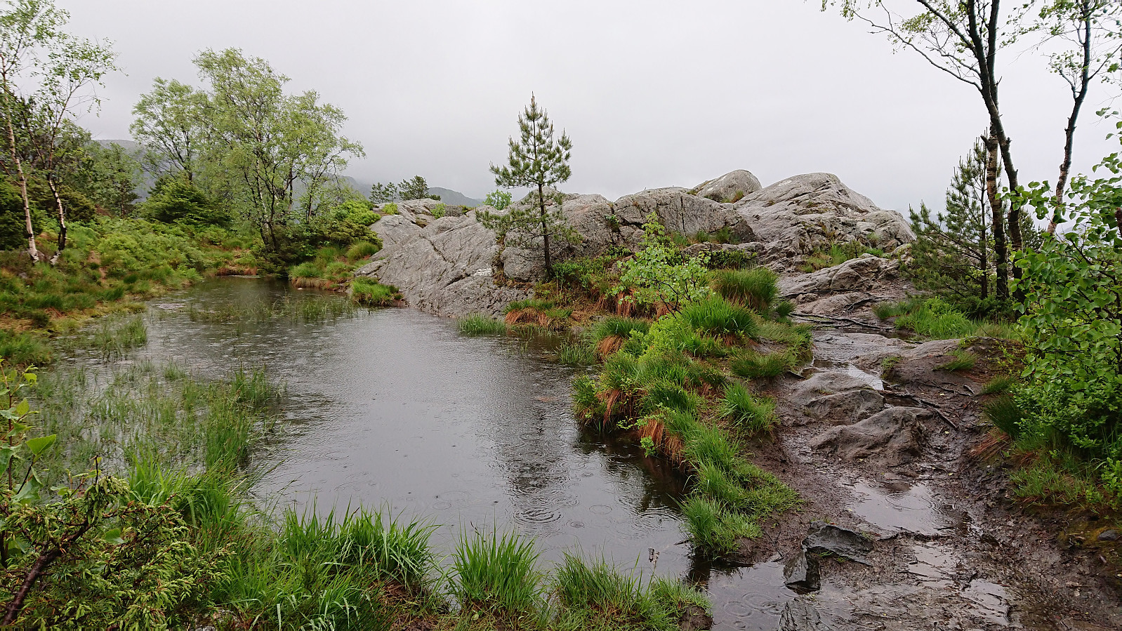
Preikestolen and Kvamsfjellet
- Date:
- 19.05.2019
- Characteristic:
- Hillwalk
- Duration:
- 5:12h
- Distance:
- 10.5km
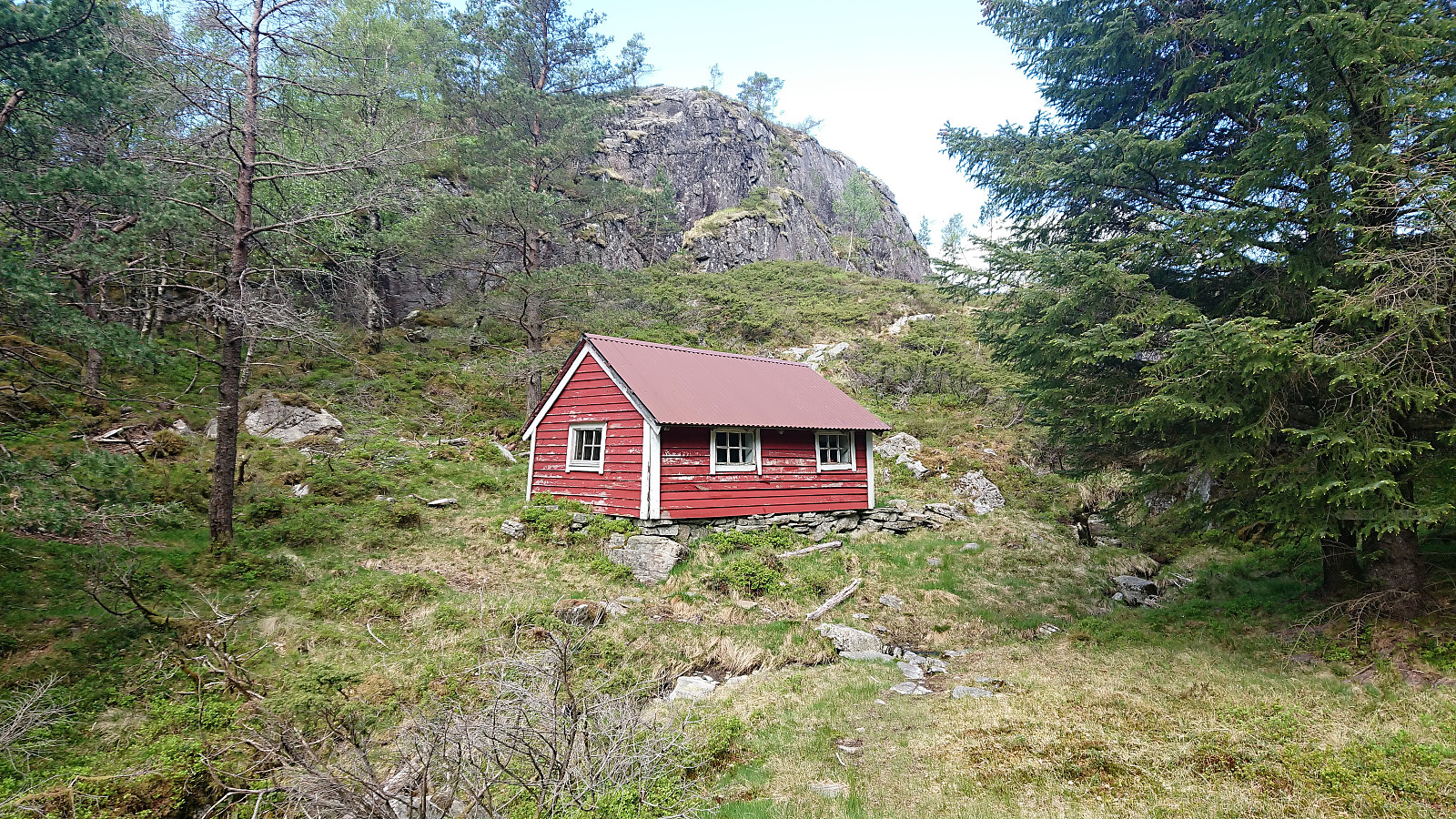 We started from the parking lot at Osvatnet and followed the standard trail up to Kupene. Here we left the main trail and followed the sign for Tyssesætra. However we soon lost the trail and had to search a bit to relocate it, but from there on it was relatively easy to follow. (Seems like the trick may be to turn right when the trail splits when leaving the wet area behind, but as we ended up losing the trail at more or less in the same location on the descent, the trail may simply be weak in this particular area.)
The one cabin at Tyssesætra soon appeared and from there we followed the sign west to Preikestolen . First a long a nice trail, but it more or less disappeared before reaching the summit. At that point it was not really needed anyway. Preikestolen provided nice views, but we did not stay long before continuing towards >>>
We started from the parking lot at Osvatnet and followed the standard trail up to Kupene. Here we left the main trail and followed the sign for Tyssesætra. However we soon lost the trail and had to search a bit to relocate it, but from there on it was relatively easy to follow. (Seems like the trick may be to turn right when the trail splits when leaving the wet area behind, but as we ended up losing the trail at more or less in the same location on the descent, the trail may simply be weak in this particular area.)
The one cabin at Tyssesætra soon appeared and from there we followed the sign west to Preikestolen . First a long a nice trail, but it more or less disappeared before reaching the summit. At that point it was not really needed anyway. Preikestolen provided nice views, but we did not stay long before continuing towards >>>
Rollandsoksen (Hesthaugen to Lønborg)
- Date:
- 18.05.2019
- Characteristic:
- Hillwalk
- Duration:
- 1:57h
- Distance:
- 8.1km
 A revisit of Rollandsoksen . This time with a more direct route from the bus stop at Hesthaugen, first along roads and later following a nice trail all the way to the summit. From the summit I returned north, before following another trail east until connecting with "Den Trondhjemske Postvei" coming down from Kolåsen, which I then followed until reaching Eidsvåg.
Here I wanted to attempt a new shortcut up to Hellemyrstien from Eidsvåglien, where a trail was indicated on the map. The trailhead was easy to locate, starting with a short staircase northeast of Eidsvåglien 2, but the trail split numerous times with no clear way of knowing which was the best option. In the end I did connect with Hellemyrstien though, and from there concluded my hike by walking home to Lønborg.
A revisit of Rollandsoksen . This time with a more direct route from the bus stop at Hesthaugen, first along roads and later following a nice trail all the way to the summit. From the summit I returned north, before following another trail east until connecting with "Den Trondhjemske Postvei" coming down from Kolåsen, which I then followed until reaching Eidsvåg.
Here I wanted to attempt a new shortcut up to Hellemyrstien from Eidsvåglien, where a trail was indicated on the map. The trailhead was easy to locate, starting with a short staircase northeast of Eidsvåglien 2, but the trail split numerous times with no clear way of knowing which was the best option. In the end I did connect with Hellemyrstien though, and from there concluded my hike by walking home to Lønborg.
Marineholmen to Munkebotn
- Date:
- 16.05.2019
- Characteristic:
- Walk
- Duration:
- 1:09h
- Distance:
- 5.8km
 Another short walk on the way home from work.
Kongsfjellet via boat from Bergen
- Date:
- 12.05.2019
- Characteristic:
- Hillwalk
- Duration:
- 2:28h
- Distance:
- 6.3km
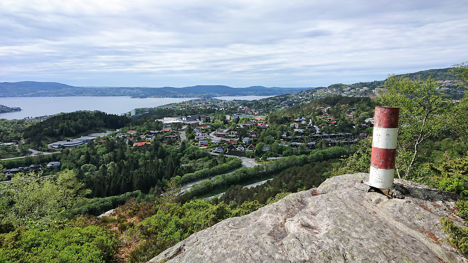
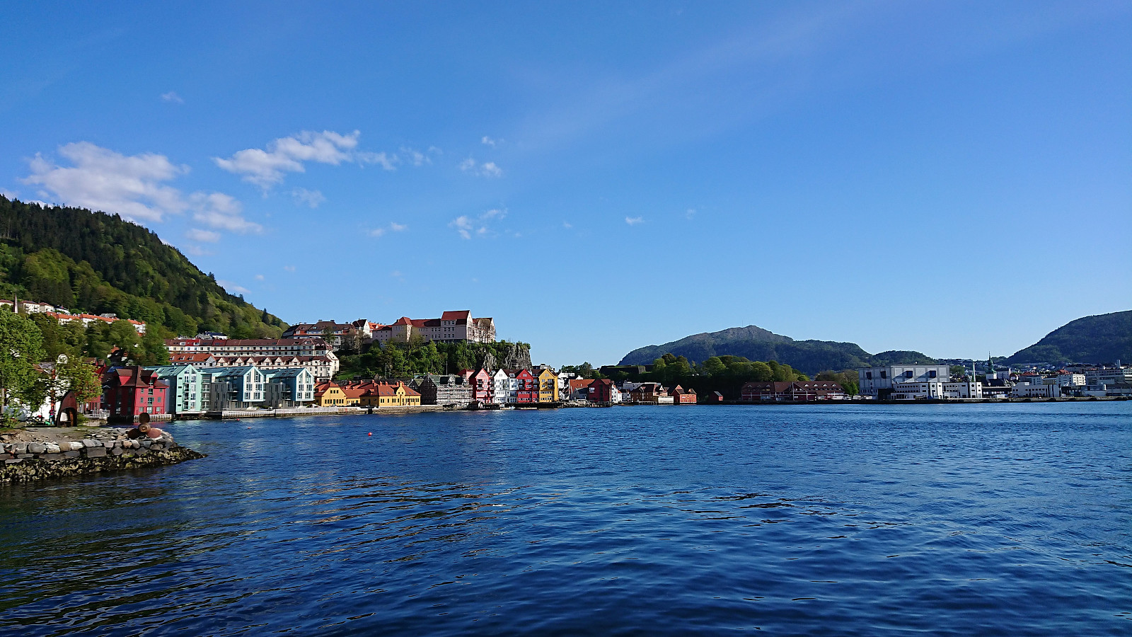
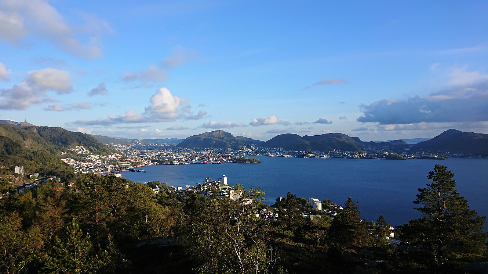
 The trip started by taking the boat from Strandkaiterminalen in Bergen to Bekkjarvik, which took around one hour and provided excellent views along the way. Shortly after disembarking, we came across a hiking sign for "Kongsen", which we assumed was short for Kongsfjellet . Did not see any additional signs though, except for a sign for Kongskleiva (which we did not follow, but which we will come back to later), but soon arrived at the football field north of Kongsfjellet where we easily located the trailhead, marked with the familiar blue "N" for "Nordsjøløypa".
From there on it was straightforward to follow the trail all the way to Kongsfjellet, enjoying the rapidly improving views. The summit itself provided excellent views in all directions. We still had plenty of time >>>
The trip started by taking the boat from Strandkaiterminalen in Bergen to Bekkjarvik, which took around one hour and provided excellent views along the way. Shortly after disembarking, we came across a hiking sign for "Kongsen", which we assumed was short for Kongsfjellet . Did not see any additional signs though, except for a sign for Kongskleiva (which we did not follow, but which we will come back to later), but soon arrived at the football field north of Kongsfjellet where we easily located the trailhead, marked with the familiar blue "N" for "Nordsjøløypa".
From there on it was straightforward to follow the trail all the way to Kongsfjellet, enjoying the rapidly improving views. The summit itself provided excellent views in all directions. We still had plenty of time >>>
Dyrskarfjellet and Rundesteinen
- Date:
- 11.05.2019
- Characteristic:
- Hillwalk
- Duration:
- 3:12h
- Distance:
- 9.8km
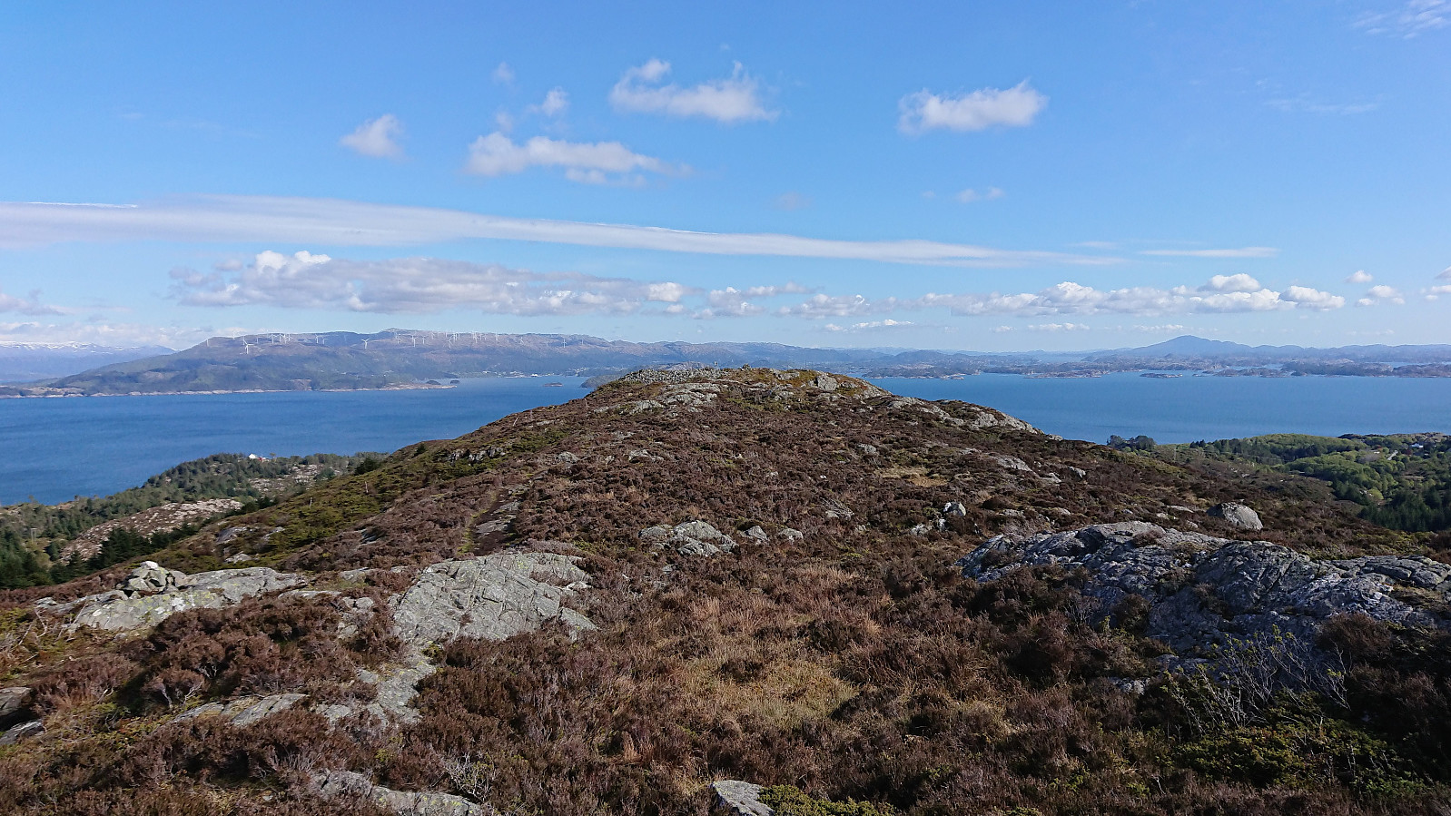
 Started by taking the bus to Store-Aurdal (bus stop called "Urdal (Lindås)") and from there followed the gravel road north, making sure to avoid the demolition site of Husafjellet and instead continued on the forest road slightly further to the east. I soon left Husafjellet behind and started looking for the tractor road east of Dyrskarfjellet that should simplify my ascent. I was a bit too eager though, ending up leaving the road too early, but shortly connected with the actual tractor road.
The tractor road was easy to follow, but clearly not very heavily used, and at times looked more like a trail than a road. From where the road/trail finally came to an end, it was however pretty straightforward to proceed to the summit. Although there were a couple of steep sections that had to be avoided. The summit >>>
Started by taking the bus to Store-Aurdal (bus stop called "Urdal (Lindås)") and from there followed the gravel road north, making sure to avoid the demolition site of Husafjellet and instead continued on the forest road slightly further to the east. I soon left Husafjellet behind and started looking for the tractor road east of Dyrskarfjellet that should simplify my ascent. I was a bit too eager though, ending up leaving the road too early, but shortly connected with the actual tractor road.
The tractor road was easy to follow, but clearly not very heavily used, and at times looked more like a trail than a road. From where the road/trail finally came to an end, it was however pretty straightforward to proceed to the summit. Although there were a couple of steep sections that had to be avoided. The summit >>>
Ørneberget
- Date:
- 07.05.2019
- Characteristic:
- Hillwalk
- Duration:
- 1:09h
- Distance:
- 5.5km
 Short local evening hike.
