Archiv - Nach Datum
Archiv - Nach Aktivität
-
Andere Tour (3)
- Kayaking (3)
-
Fahrradtour (108)
- Fahrradtour Straße (83)
- Fahrradtour gemischt (25)
-
Fahrzeugtour (9)
- Autotour (9)
-
Fußtour (1782)
- Bergtour (1054)
- Jogging (1)
- Spaziergang (54)
- Wanderung (673)
-
Skitour (109)
- Langlauf (44)
- Tourenskilauf (65)
Gesammelte Listen
-
Voss ≥ 100m pf.
(96/98)
 97%
97% -
Opptur Hordaland
(143/159)
89%
-
Stasjoner på Bergensbanen
(31/40)
77%
-
Ulvik ≥ 100m pf.
(28/38)
73%
-
Hordaland ≥ 100m pf.
(613/863)
71%
-
Mjølfjell PF > 100m
(21/31)
67%
-
Jondal ≥ 100m pf.
(15/23)
65%
-
Sunnhordland PF >= 100m
(104/186)
55%
-
Dagsturhyttene i Vestland
(33/61)
54%
-
Hordaland: Hardanger PF>=100m
(186/359)
51%
-
Kvinnherad ≥ 100m pf.
(40/79)
50%
-
DNT-hytter i Hordaland
(22/45)
48%
-
Sogndal ≥ 100m pf.
(23/81)
28%
-
Vik i Sogn ≥ 100m pf.
(8/46)
17%
-
DNT-hytter i Sogn og Fjordane
(8/47)
17%
-
Eidfjord ≥ 100m pf.
(7/42)
16%
-
Etne ≥ 100m pf.
(7/51)
13%
-
Ullensvang ≥ 100m pf.
(21/153)
13%
-
Sogn - Sør for Sognefjorden PF>=100m
(17/159)
10%
-
Opptur i Sogn og Fjordane peaks
(17/177)
9%

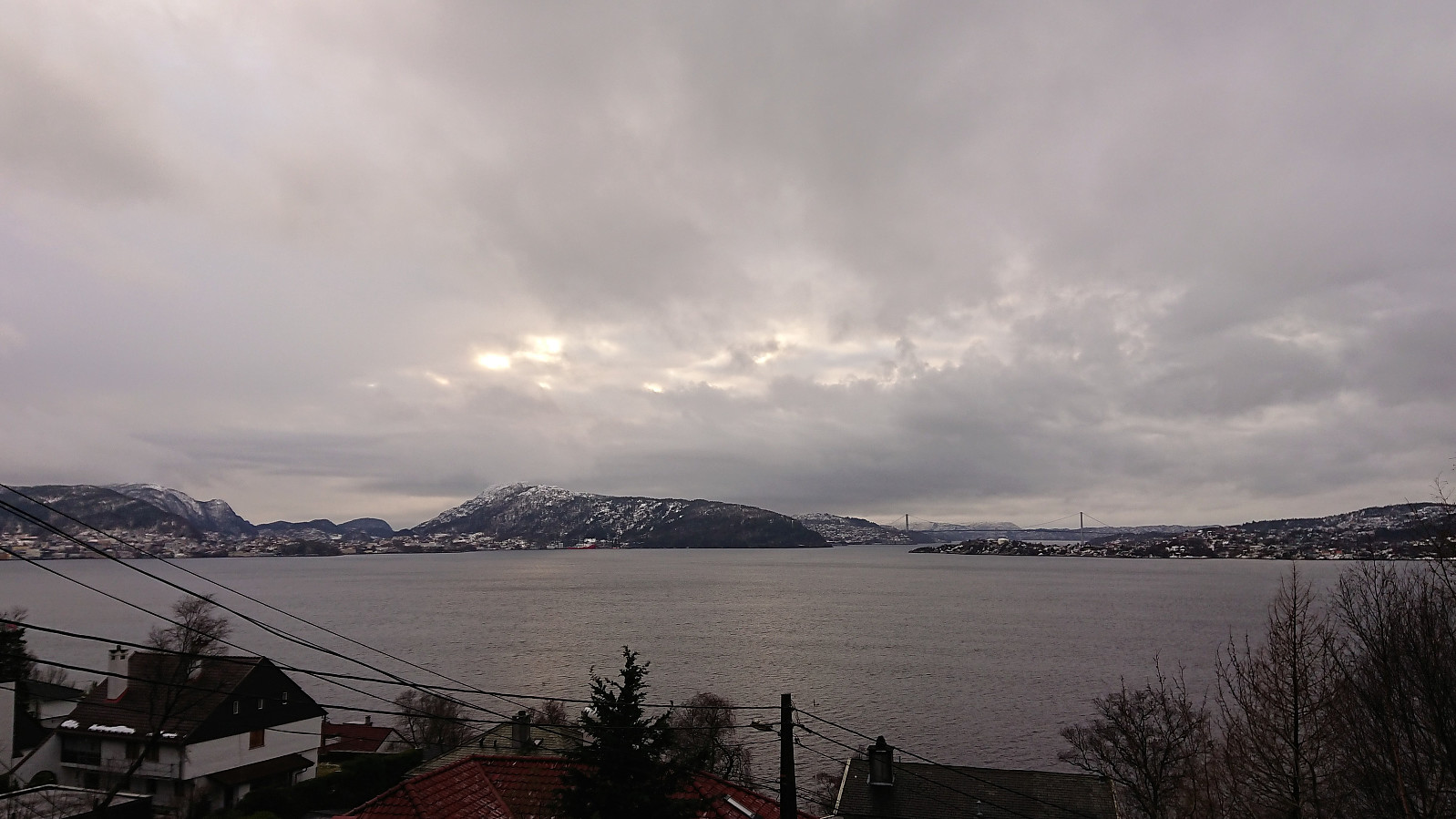
Lyderhorn Roundtrip
- Datum:
- 10.02.2019
- Tourcharakter:
- Bergtour
- Tourlänge:
- 2:47h
- Entfernung:
- 9,4km
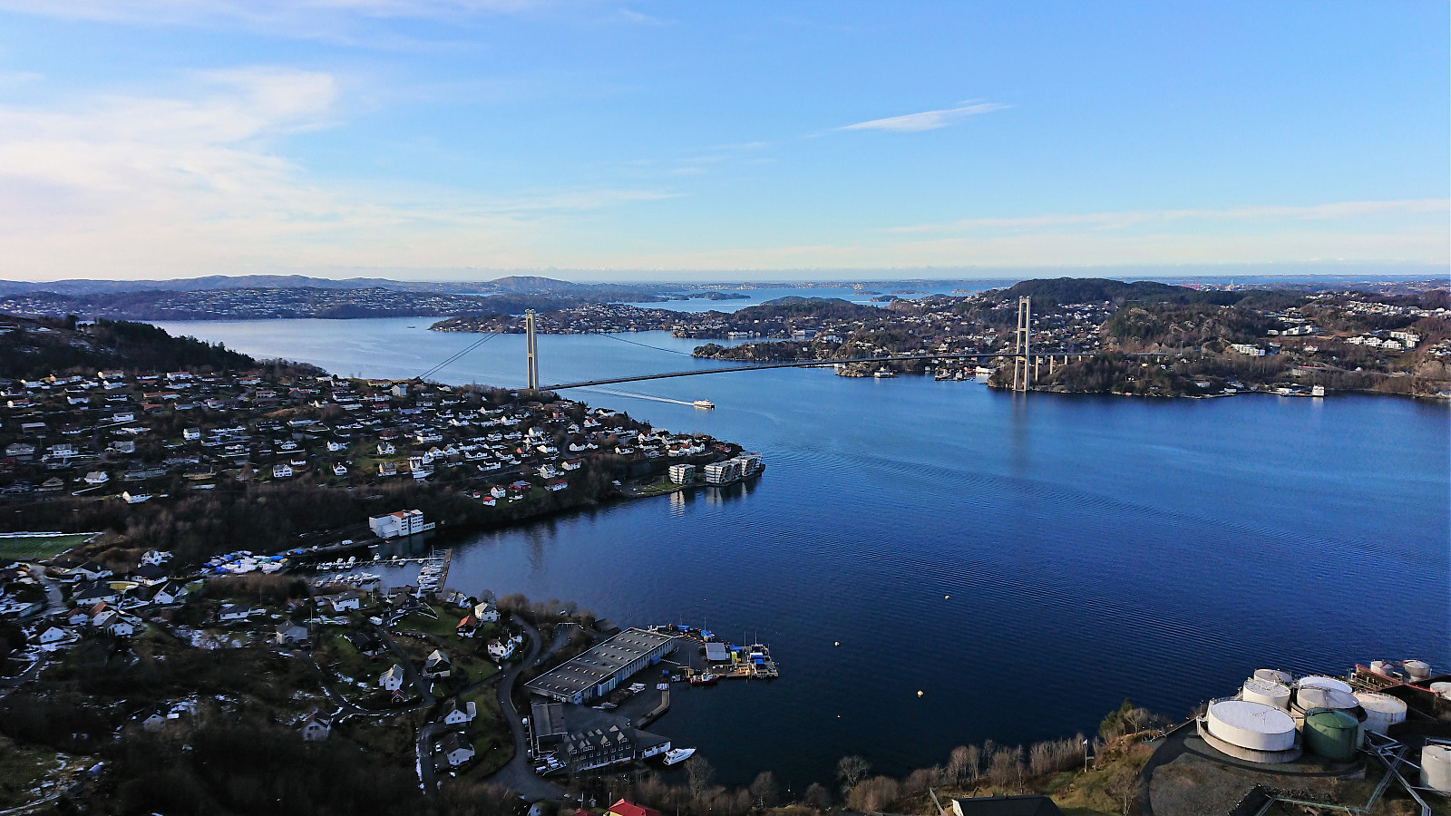 Started by taking the bus to Lyngbø (bus stop called Lyngbø Rv. 555) and following the roads to Kvarven fort . Shortly after starting the ascent the roads turned very icy and I spent more time walking next to the road than on the road itself. When the road changed to trail the conditions shortly improved, but the ice would soon return. I reached the summit of Lyderhorn without any real difficulties though. For my descent I decided on the trial down to Banuren. Rather icy at the beginning and later more stream than trail. Upon reaching Banuren, the hike was completed by walking along the roads back to Lyngbø for the bus home. A nice roundtrip, but probably much nicer when there is less ice.
Fagerdalsfjellet and Ørneberget
- Datum:
- 09.02.2019
- Tourcharakter:
- Bergtour
- Tourlänge:
- 1:05h
- Entfernung:
- 4,3km
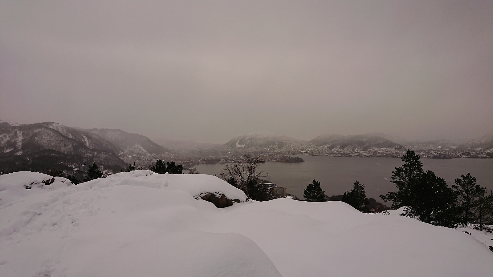
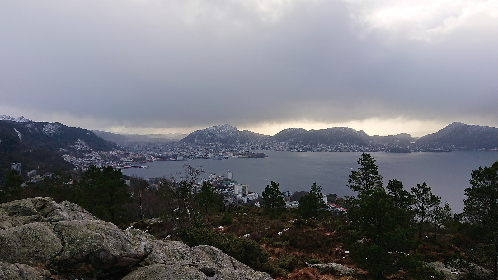 Short local hike across Fagerdalsfjellet and Ørneberget. The trails were overall more wet than icy.
Across Hellen festning
- Datum:
- 05.02.2019
- Tourcharakter:
- Wanderung
- Tourlänge:
- 0:37h
- Entfernung:
- 3,2km
 Short local hike across an icy Hellen festning.
Gamle Bergen, Furukammen and Hellen festning
- Datum:
- 03.02.2019
- Tourcharakter:
- Wanderung
- Tourlänge:
- 2:14h
- Entfernung:
- 9,6km
 Local hike through Gamle Bergen and across Furukammen and Hellen festning.
Solheimsviken
- Datum:
- 31.01.2019
- Tourcharakter:
- Spaziergang
- Tourlänge:
- 0:29h
- Entfernung:
- 2,0km
 Short walk around Solheimsviken with colleagues during a break at work.
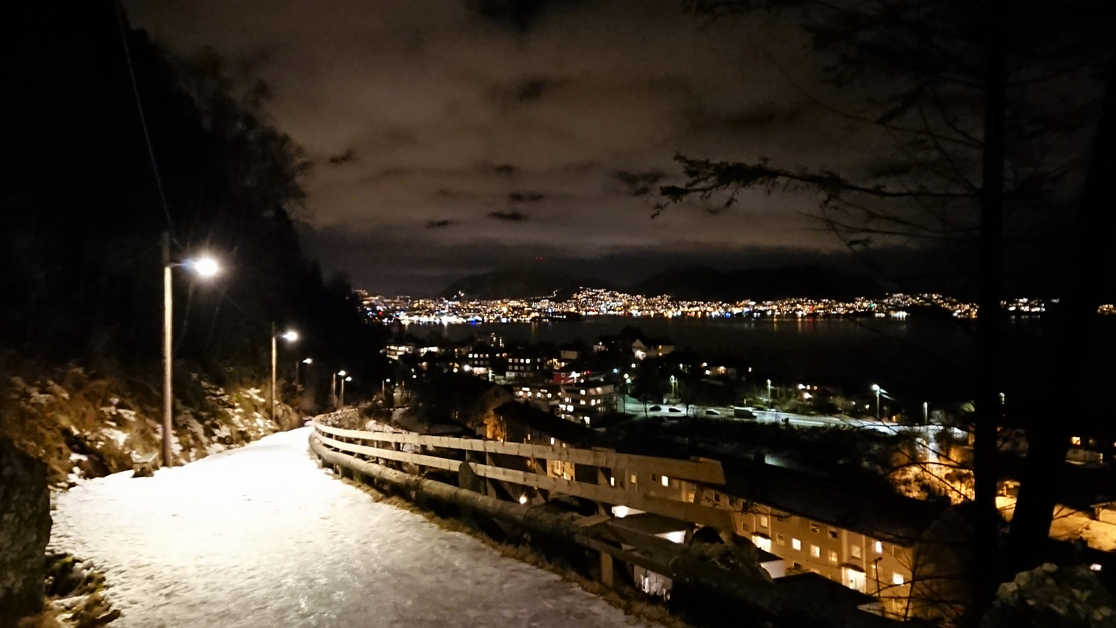
Hellen festning and Furukammen
- Datum:
- 30.01.2019
- Tourcharakter:
- Wanderung
- Tourlänge:
- 1:54h
- Entfernung:
- 5,1km
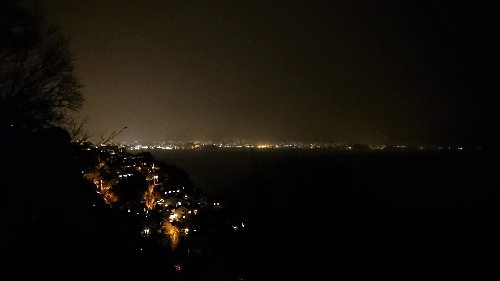
 Short local evening hike across Hellen festning and Furukammen. Thankfully most of the ice from my previous visit was now replaced by snow.
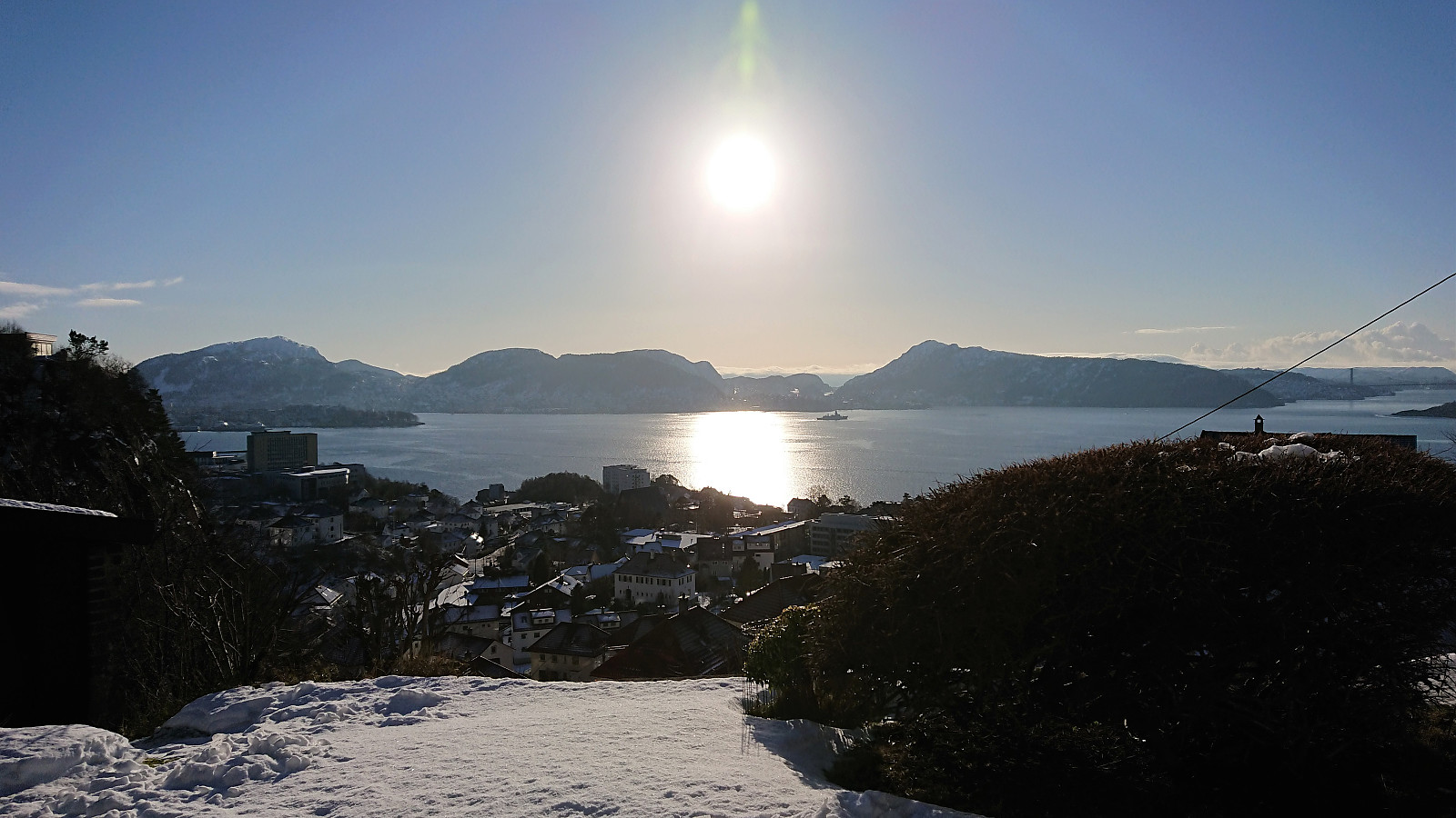
Ørneberget
- Datum:
- 26.01.2019
- Tourcharakter:
- Bergtour
- Tourlänge:
- 1:38h
- Entfernung:
- 5,4km
 Short local hike to Ørneberget.
Across Hellen festning
- Datum:
- 23.01.2019
- Tourcharakter:
- Wanderung
- Tourlänge:
- 1:07h
- Entfernung:
- 5,2km
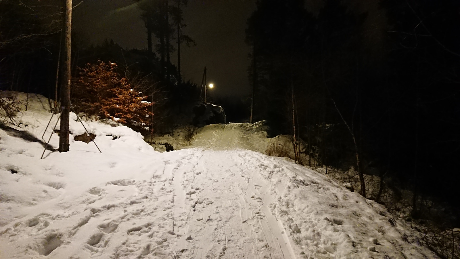
 Short local evening hike across Hellen festning. All the roads at Hellen festning were very icy, hence the unusual route up to the top of Øyjorden.
Hellen festning and Furukammen
- Datum:
- 20.01.2019
- Tourcharakter:
- Wanderung
- Tourlänge:
- 1:27h
- Entfernung:
- 5,0km
 Short local hike across Hellen festning and Furukammen.
Bamsehi, Gjøken and Huldraheimen
- Datum:
- 19.01.2019
- Tourcharakter:
- Bergtour
- Tourlänge:
- 5:59h
- Entfernung:
- 20,5km
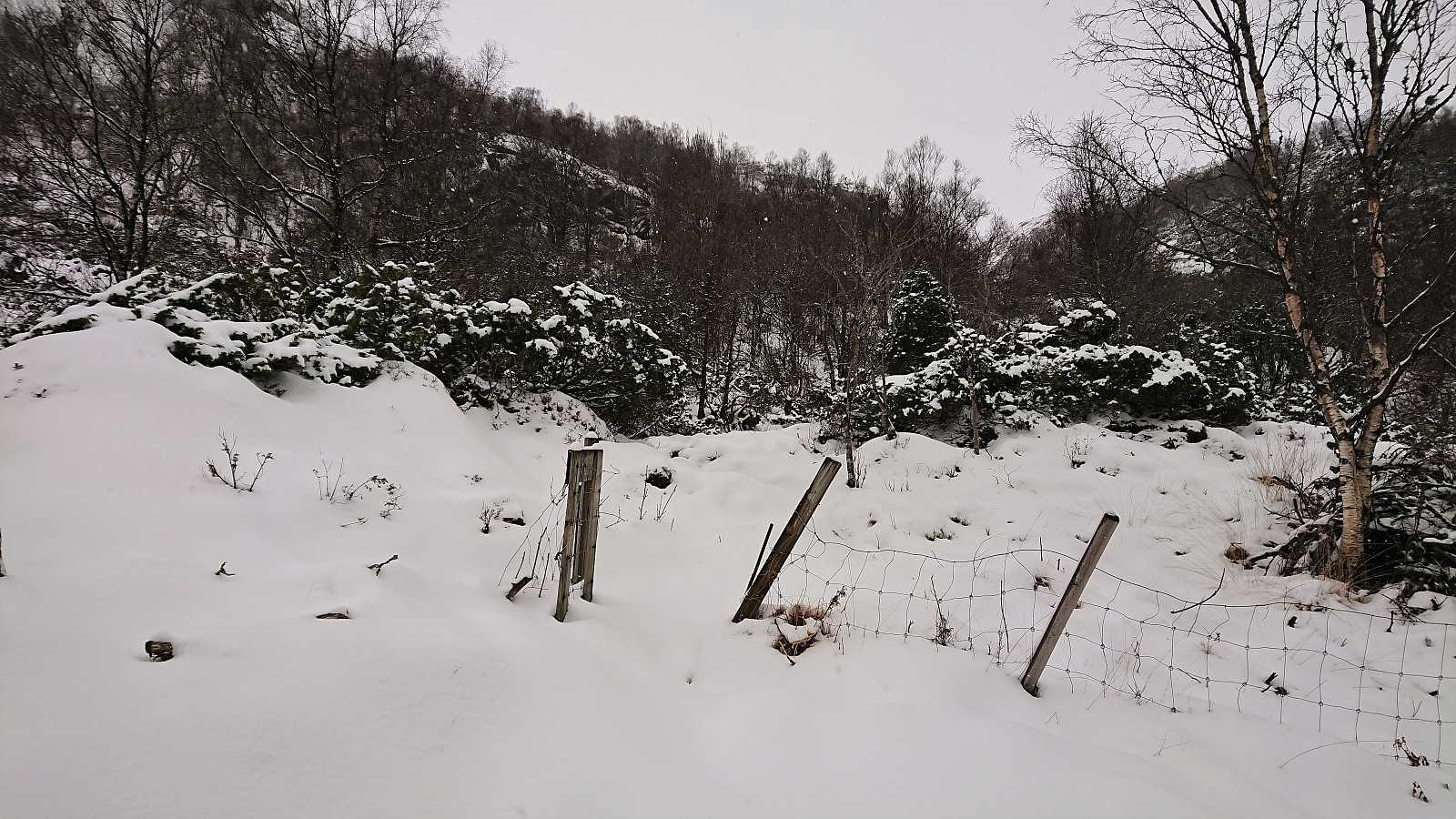 Started by taking the bus (or rather, bus, train and then bus again) to Lone and from there following the road to Borgo where the marked trailhead was easily located. However, shortly after leaving the last house behind the signs stopped, and given that the trail was completely covered by snow (and there were no footprints to follow), I was soon rather unsure whether I was following a trail or not. I think I was pretty close though. At least it was relatively straightforward to make progress toward Borgaskaret.
My main challenge was that it had by now started snowing quite heavily, which made for poor visibility. I decided to still make the planned detour for Bamsehi , but more or less walking from cairn to cairn in order to avoid having to refer to the GPS too frequently. After a quick visit to Bamsehi , I >>>
Started by taking the bus (or rather, bus, train and then bus again) to Lone and from there following the road to Borgo where the marked trailhead was easily located. However, shortly after leaving the last house behind the signs stopped, and given that the trail was completely covered by snow (and there were no footprints to follow), I was soon rather unsure whether I was following a trail or not. I think I was pretty close though. At least it was relatively straightforward to make progress toward Borgaskaret.
My main challenge was that it had by now started snowing quite heavily, which made for poor visibility. I decided to still make the planned detour for Bamsehi , but more or less walking from cairn to cairn in order to avoid having to refer to the GPS too frequently. After a quick visit to Bamsehi , I >>>
