Arkiv - dato
Arkiv - aktivitet
-
Annen tur (3)
- Kajakkpadling (3)
- Fottur (1782)
-
Kjøretur (9)
- Biltur (9)
-
Skitur (109)
- Fjellskitur (65)
- Langrennstur (44)
-
Sykkeltur (108)
- Blandet sykling (25)
- Gatesykling (83)
Lister jeg samler etter
-
Voss ≥ 100m pf.
(96/98)
 97%
97% -
Opptur Hordaland
(143/159)
89%
-
Stasjoner på Bergensbanen
(31/40)
77%
-
Ulvik ≥ 100m pf.
(28/38)
73%
-
Hordaland ≥ 100m pf.
(613/863)
71%
-
Mjølfjell PF > 100m
(21/31)
67%
-
Jondal ≥ 100m pf.
(15/23)
65%
-
Sunnhordland PF >= 100m
(104/186)
55%
-
Dagsturhyttene i Vestland
(33/61)
54%
-
Hordaland: Hardanger PF>=100m
(186/359)
51%
-
Kvinnherad ≥ 100m pf.
(40/79)
50%
-
DNT-hytter i Hordaland
(22/45)
48%
-
Sogndal ≥ 100m pf.
(23/81)
28%
-
Vik i Sogn ≥ 100m pf.
(8/46)
17%
-
DNT-hytter i Sogn og Fjordane
(8/47)
17%
-
Eidfjord ≥ 100m pf.
(7/42)
16%
-
Etne ≥ 100m pf.
(7/51)
13%
-
Ullensvang ≥ 100m pf.
(21/153)
13%
-
Sogn - Sør for Sognefjorden PF>=100m
(17/159)
10%
-
Opptur-topper i Sogn og Fjordane
(17/177)
9%

Stolåsen
- Dato:
- 14.03.2018
- Turtype:
- Fjelltur
- Turlengde:
- 2:16t
- Distanse:
- 8,3km
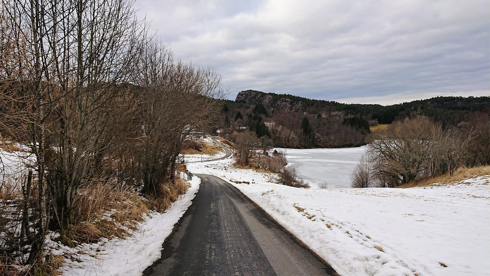 Started by taking the bus to Førde (bus stop Førdespollen) and walking northwest along the road until reaching the tractor road to Langavatnet. I was happy to see footprints in the snow, hoping that these would continue all the way to the summit of Stolåsen .
Shortly after leaving the paved road I spotted the first deer, of which there would be numerous traces in the form of hoofprints throughout the hike. In fact they were soon more common that footprints. At the crossroads with the first signs for Stolåsen there was only one set of footprints coming from the planned direction. I still decided to turn left (west) at the sign and thus ascend Stolåsen from the south.
Less than a minute later I heard, and later saw, the second (and maybe a third?) deer, and with 2-3 deer spotted in less than half an >>>
Started by taking the bus to Førde (bus stop Førdespollen) and walking northwest along the road until reaching the tractor road to Langavatnet. I was happy to see footprints in the snow, hoping that these would continue all the way to the summit of Stolåsen .
Shortly after leaving the paved road I spotted the first deer, of which there would be numerous traces in the form of hoofprints throughout the hike. In fact they were soon more common that footprints. At the crossroads with the first signs for Stolåsen there was only one set of footprints coming from the planned direction. I still decided to turn left (west) at the sign and thus ascend Stolåsen from the south.
Less than a minute later I heard, and later saw, the second (and maybe a third?) deer, and with 2-3 deer spotted in less than half an >>>
Across Hellen festning
- Dato:
- 11.03.2018
- Turtype:
- Fottur
- Turlengde:
- 0:40t
- Distanse:
- 2,9km
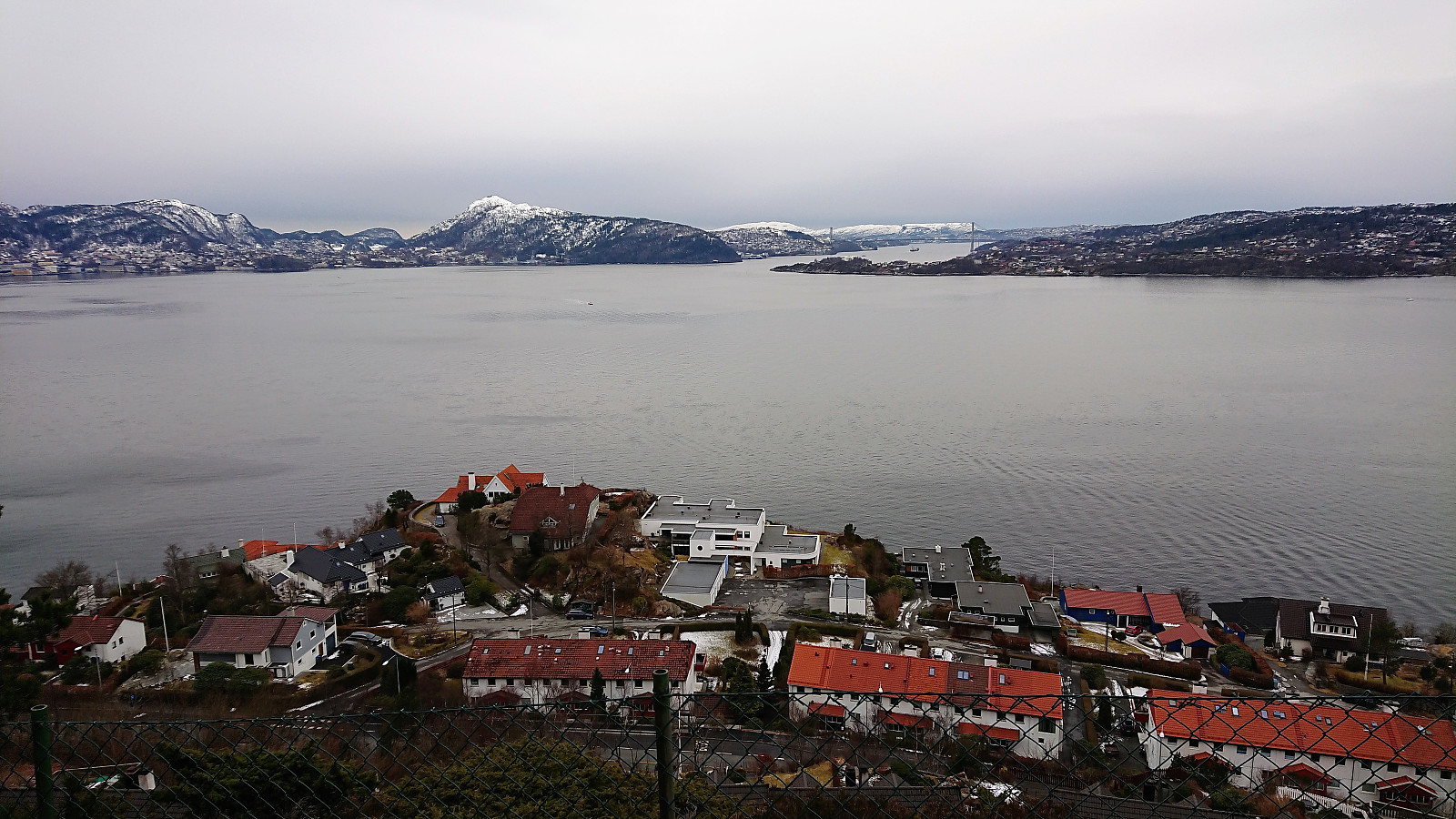 Short local hike across Hellen festning.
Håmanen, Rognåsen and Ørneberget
- Dato:
- 03.03.2018
- Turtype:
- Fjelltur
- Turlengde:
- 1:45t
- Distanse:
- 6,5km
 Short local hike across Håmanen , Rognåsen and Ørneberget in the snow.
Across Hellen festning
- Dato:
- 01.03.2018
- Turtype:
- Fottur
- Turlengde:
- 0:49t
- Distanse:
- 4,2km
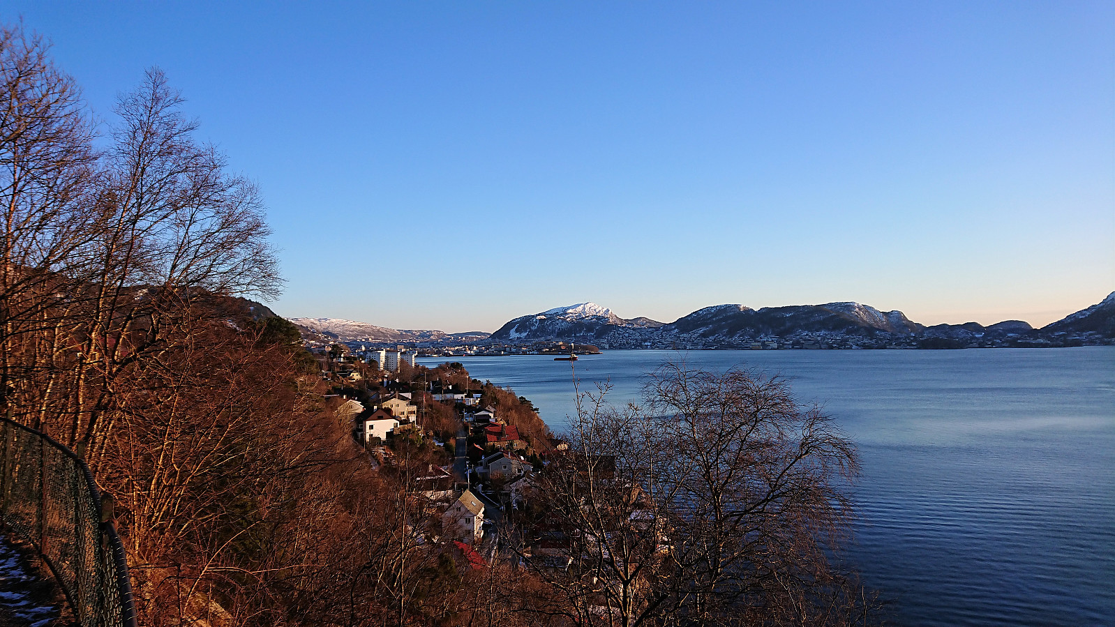 Short local hike across Hellen festning after work.
Lyngbø to Lauvåsen
- Dato:
- 24.02.2018
- Turtype:
- Fjelltur
- Turlengde:
- 2:25t
- Distanse:
- 5,9km
 My initial plan for the day had to be changed due to a missed connecting bus at Lyngbø. I decided to instead try a new route up to Lyngbønipa and across Eikelifjellet , and walked up to the start of Nipedalen to locate the start of the trail up the valley in between Lyngbønipa and Gravdalsfjellet (in between Nipedalen 74 and 76). The trailhead was unmarked, but a sign with "Tursti" showed up later.
The trail itself was today hidden under the snow, but I was lucky enough to have 2-3 sets of footprints to follow. Although this ascent towards Lyngbønipa is not as steep as the one starting from the top of Nipedalen, it was still relatively hard, especially due to the deep snow, but the terrain did flatten out well before reaching Nipetjørnet.
No footprints towards the summit of Lyngbønipa, so for this stretch I had to make >>>
My initial plan for the day had to be changed due to a missed connecting bus at Lyngbø. I decided to instead try a new route up to Lyngbønipa and across Eikelifjellet , and walked up to the start of Nipedalen to locate the start of the trail up the valley in between Lyngbønipa and Gravdalsfjellet (in between Nipedalen 74 and 76). The trailhead was unmarked, but a sign with "Tursti" showed up later.
The trail itself was today hidden under the snow, but I was lucky enough to have 2-3 sets of footprints to follow. Although this ascent towards Lyngbønipa is not as steep as the one starting from the top of Nipedalen, it was still relatively hard, especially due to the deep snow, but the terrain did flatten out well before reaching Nipetjørnet.
No footprints towards the summit of Lyngbønipa, so for this stretch I had to make >>>
Storåsen in Os
- Dato:
- 19.02.2018
- Turtype:
- Fjelltur
- Turlengde:
- 1:40t
- Distanse:
- 5,5km
 Started by taking the bus to Tveit and from there following the paved road east to Lia, where I turned north and quickly found a sign indicating the newly marked trail to Rød, a trail that was also supposed to pass very close by today's goal: Storåsen .
The initial gravel road turned into a tractor road as soon as I passed the last houses, and to my surprise the road then started to head downwards until finally turning north before coming to an end. Here the real trail started, which was also indicated by a small sign. Today the trail was partly hidden under the snow, and it split a couple of times, but overall it was fairly easy to follow.
The trail went over the smaller hill to the south of Storåsen before starting the final ascent towards the summit. As far as I could see, the marked trail did not >>>
Started by taking the bus to Tveit and from there following the paved road east to Lia, where I turned north and quickly found a sign indicating the newly marked trail to Rød, a trail that was also supposed to pass very close by today's goal: Storåsen .
The initial gravel road turned into a tractor road as soon as I passed the last houses, and to my surprise the road then started to head downwards until finally turning north before coming to an end. Here the real trail started, which was also indicated by a small sign. Today the trail was partly hidden under the snow, and it split a couple of times, but overall it was fairly easy to follow.
The trail went over the smaller hill to the south of Storåsen before starting the final ascent towards the summit. As far as I could see, the marked trail did not >>>
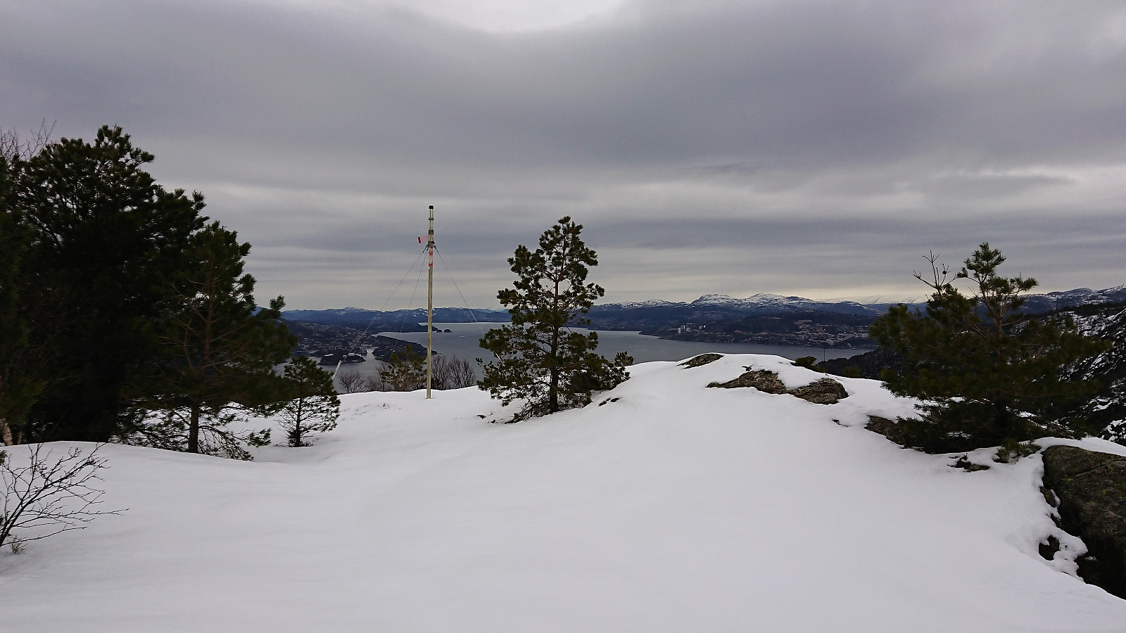
Hellen festning and Furukammen
- Dato:
- 18.02.2018
- Turtype:
- Fottur
- Turlengde:
- 1:34t
- Distanse:
- 7,6km
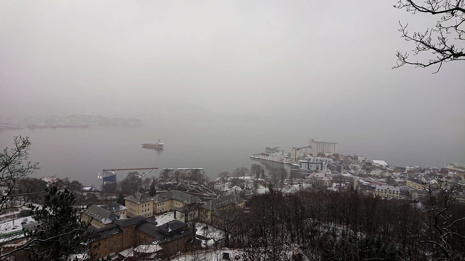
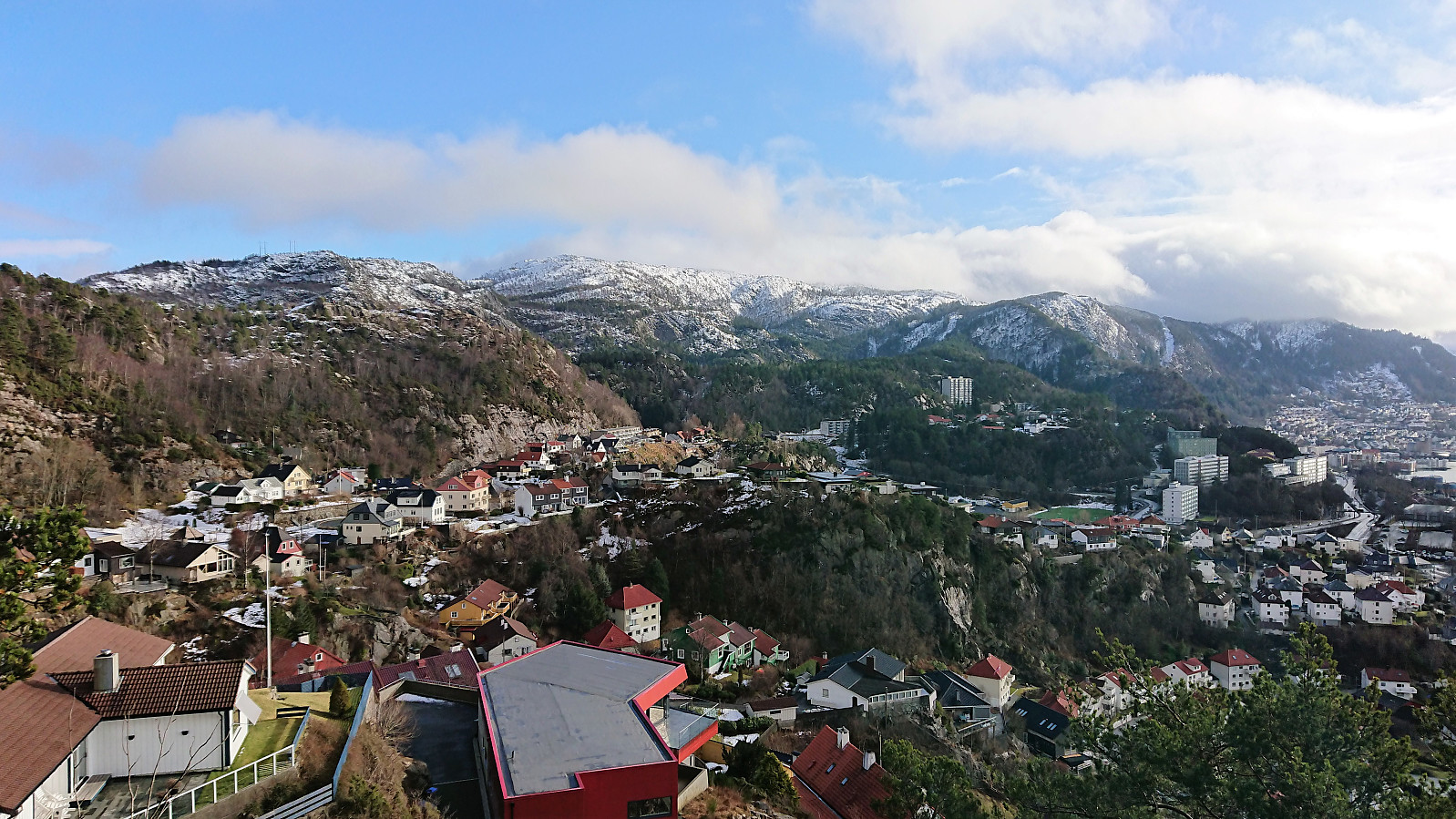 Very unstable weather today, everything from partly cloudy and sunny to relatively heavy rain/snow. I therefore ended up with a short local hike, which started in the sun and ended in wet snow from above, resulting in taking the bus the last stretch in order to not get too wet...
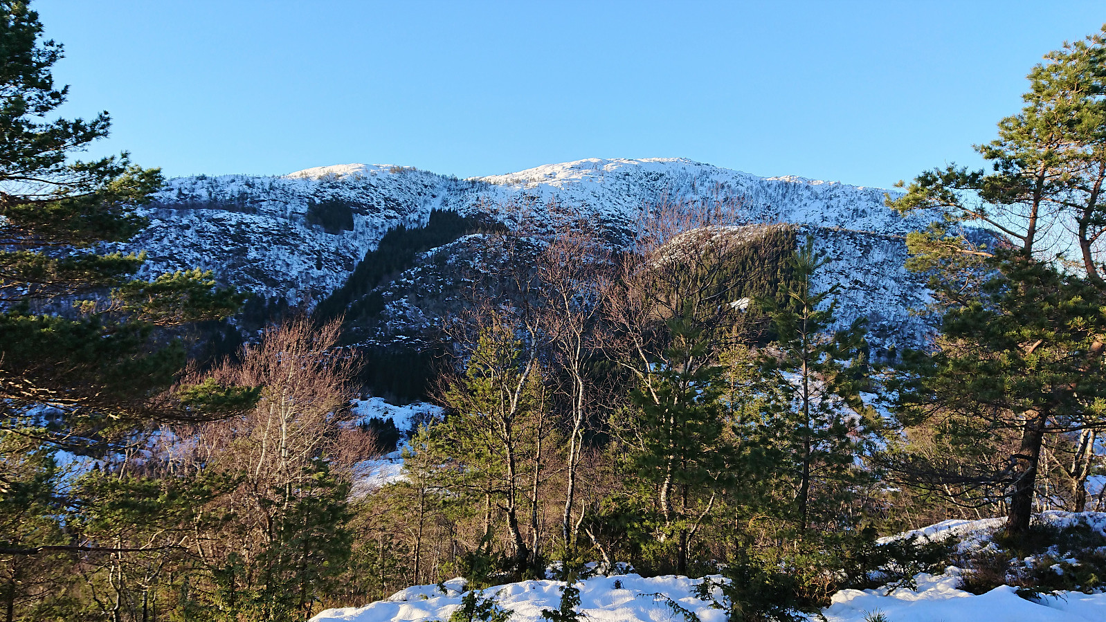
Husfjellet and Hjortåsen
- Dato:
- 17.02.2018
- Turtype:
- Fjelltur
- Turlengde:
- 3:40t
- Distanse:
- 15,2km
 Husfjellet
Started by taking the bus to Sørstrøno (bus stop called Sørstrøno sør) and from there followed the very nice gravel road in the direction of Husfjellet . The plan was to ascend along the ridge from the east. I did not assume that there would be any trails, so I was rather surprised when noticing a plastic trail marker in the trees to my right, clearly noticeable from the road (you have to be looking for it though). The trail itself was less clear, and I quickly lost it, before finding it again after a short steep ascent.
The marked trail however did not seem to head towards the summit, but rather continue south of the ridge, probably to reconnect with the gravel road that comes down on the west side of Husfjellet. After following it for a while, I therefore finally left the trail and headed >>>
Husfjellet
Started by taking the bus to Sørstrøno (bus stop called Sørstrøno sør) and from there followed the very nice gravel road in the direction of Husfjellet . The plan was to ascend along the ridge from the east. I did not assume that there would be any trails, so I was rather surprised when noticing a plastic trail marker in the trees to my right, clearly noticeable from the road (you have to be looking for it though). The trail itself was less clear, and I quickly lost it, before finding it again after a short steep ascent.
The marked trail however did not seem to head towards the summit, but rather continue south of the ridge, probably to reconnect with the gravel road that comes down on the west side of Husfjellet. After following it for a while, I therefore finally left the trail and headed >>>
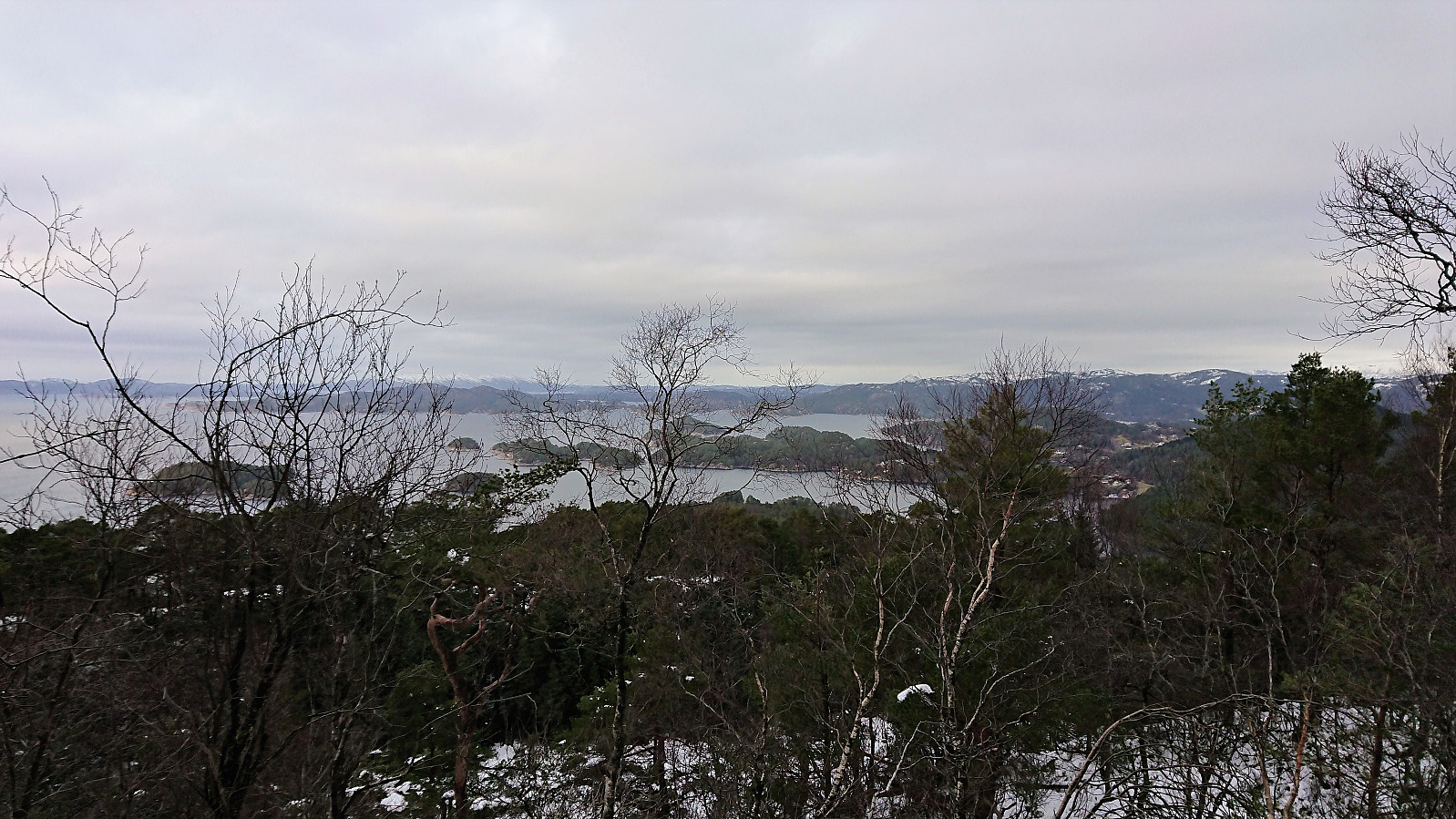
Fagerdalsfjellet
- Dato:
- 14.02.2018
- Turtype:
- Fjelltur
- Turlengde:
- 0:52t
- Distanse:
- 3,8km
 Short local hike across Fagerdalsfjellet after work.
Ørneberget
- Dato:
- 12.02.2018
- Turtype:
- Fjelltur
- Turlengde:
- 1:26t
- Distanse:
- 6,5km
 Short local hike across Ørneberget after work.
