Archive - Date
Archive - Activity
-
Bike trip (108)
- Bike trip - mixed (25)
- Bike trip - road (83)
-
Drive (9)
- Car drive (9)
-
Other trip (3)
- Kayaking (3)
-
Ski trip (109)
- Backcountry skiing (65)
- Cross-country skiing (44)
- Trip by foot (1782)
Collected lists
-
Voss ≥ 100m pf.
(96/98)
 97%
97% -
Opptur Hordaland
(143/159)
89%
-
Stasjoner på Bergensbanen
(31/40)
77%
-
Ulvik ≥ 100m pf.
(28/38)
73%
-
Hordaland ≥ 100m pf.
(613/863)
71%
-
Mjølfjell PF > 100m
(21/31)
67%
-
Jondal ≥ 100m pf.
(15/23)
65%
-
Sunnhordland PF >= 100m
(104/186)
55%
-
Dagsturhyttene i Vestland
(33/61)
54%
-
Hordaland: Hardanger PF>=100m
(186/359)
51%
-
Kvinnherad ≥ 100m pf.
(40/79)
50%
-
DNT-hytter i Hordaland
(22/45)
48%
-
Sogndal ≥ 100m pf.
(23/81)
28%
-
Vik i Sogn ≥ 100m pf.
(8/46)
17%
-
DNT-hytter i Sogn og Fjordane
(8/47)
17%
-
Eidfjord ≥ 100m pf.
(7/42)
16%
-
Etne ≥ 100m pf.
(7/51)
13%
-
Ullensvang ≥ 100m pf.
(21/153)
13%
-
Sogn - Sør for Sognefjorden PF>=100m
(17/159)
10%
-
Opptur i Sogn og Fjordane peaks
(17/177)
9%

Gol stasjon
- Date:
- 27.12.2023
- Characteristic:
- Walk
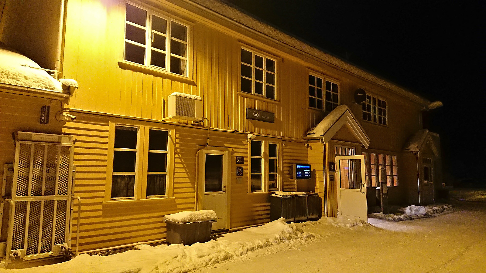 Brief visit of the train station at Gol when switching from train to car on the way from Bergen to a cabin at Golsfjellet my sister and her family were renting. As it happened, our train was one of the last that made it to Myrdal before a large avalanche west of Hallingskeid would block the tracks for almost a day.
Ørneberget and Hellemyrstien
- Date:
- 26.12.2023
- Characteristic:
- Hillwalk
- Duration:
- 1:43h
- Distance:
- 7.2km
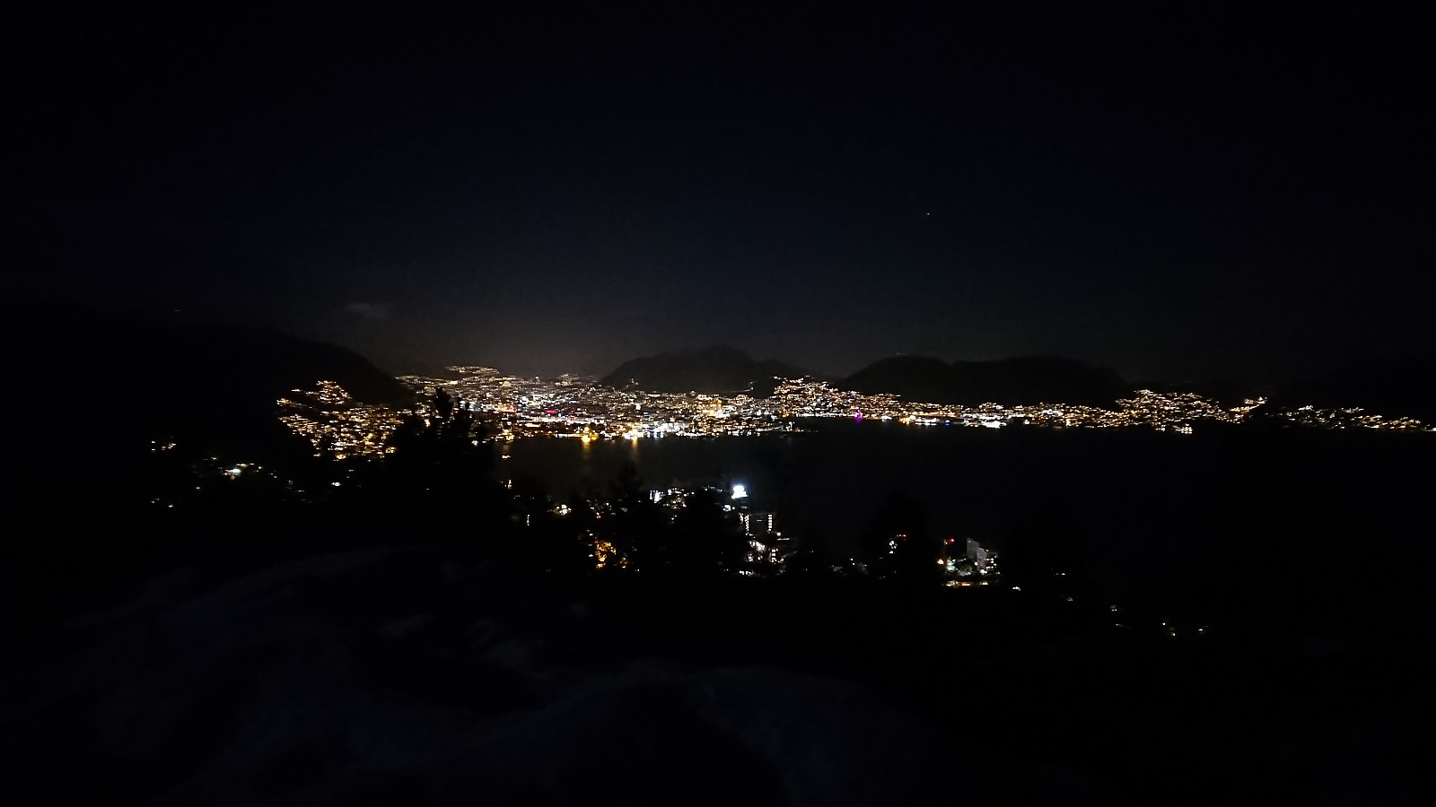 Local evening hike with a headlamp, although the close to full moon provided more than enough light on its own for most of the hike.
Across Hellen festning
- Date:
- 25.12.2023
- Characteristic:
- Hike
- Duration:
- 0:37h
- Distance:
- 3.1km
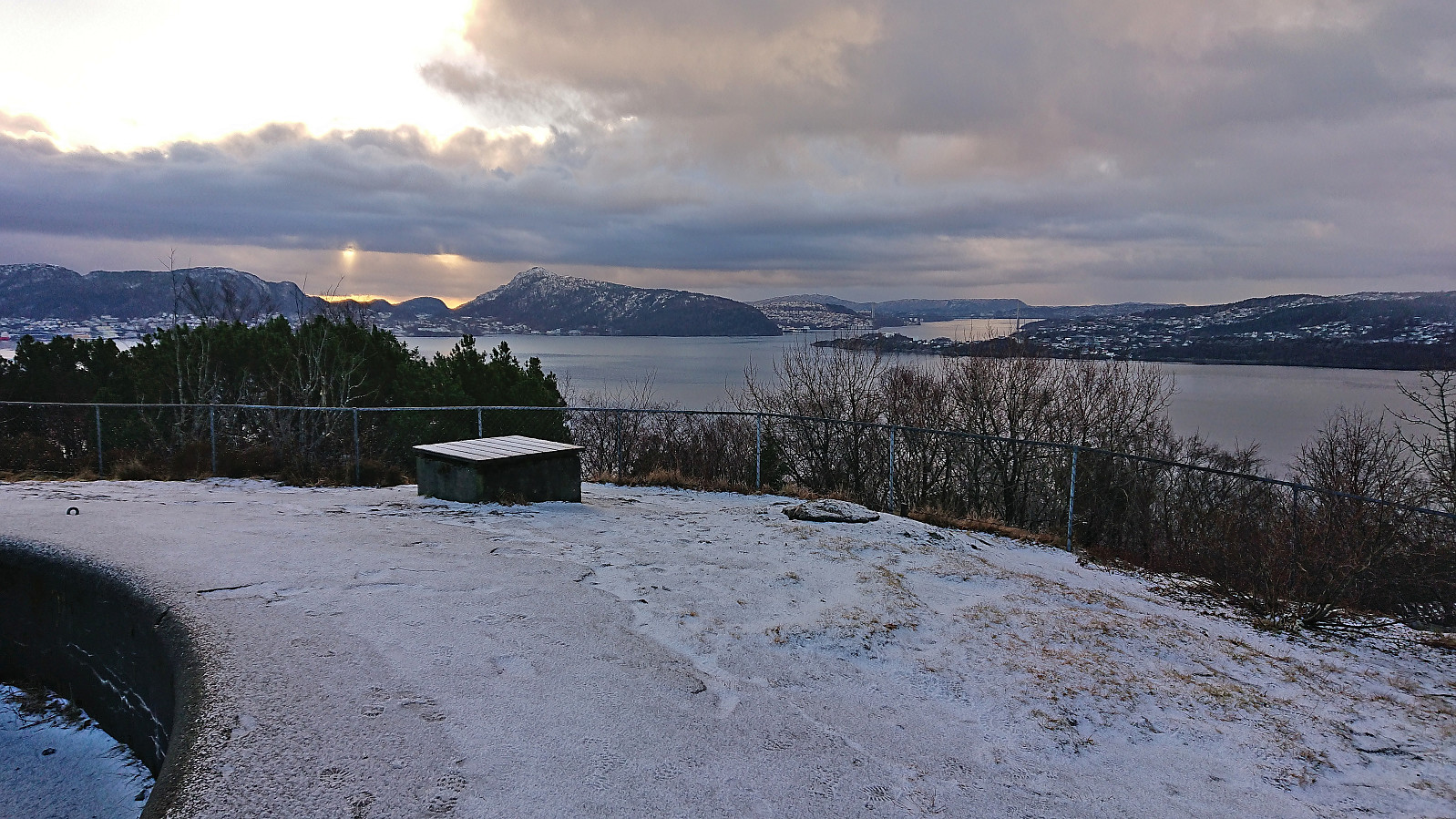 Short local hike in better than expected weather.
Across Hellen festning
- Date:
- 22.12.2023
- Characteristic:
- Hike
- Duration:
- 0:42h
- Distance:
- 3.2km
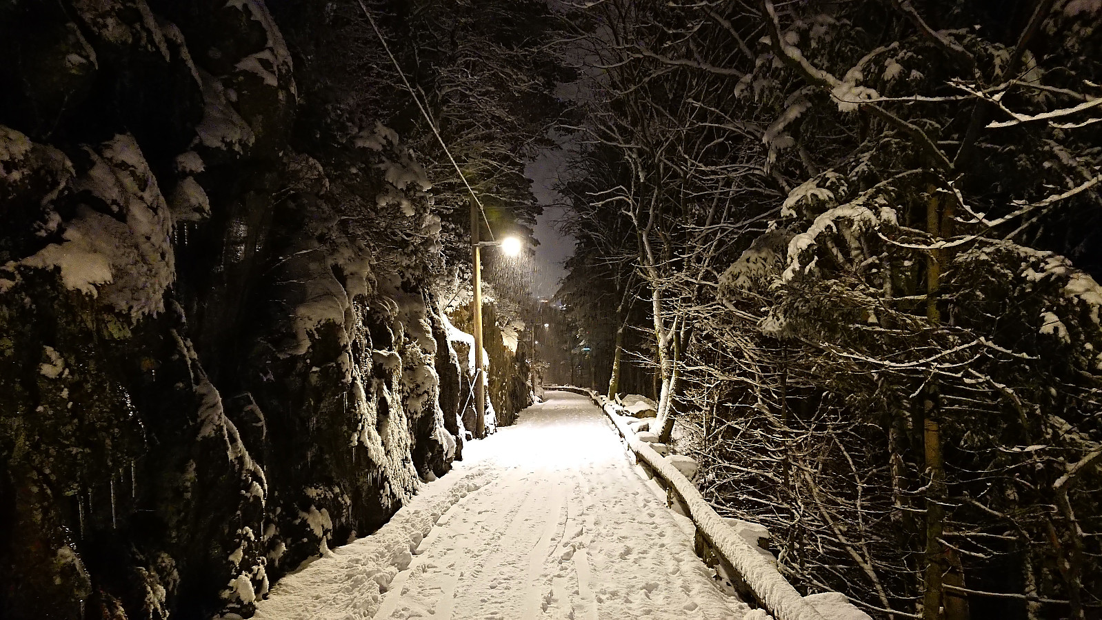 Short local evening hike in the snow.
Across Hellen festning
- Date:
- 18.12.2023
- Characteristic:
- Hike
- Duration:
- 0:33h
- Distance:
- 3.2km
 Short local evening hike where I was only partially successful in avoiding the rain showers.
Haukeland sykehus to Bryggen
- Date:
- 17.12.2023
- Characteristic:
- Hike
- Duration:
- 1:08h
- Distance:
- 4.6km
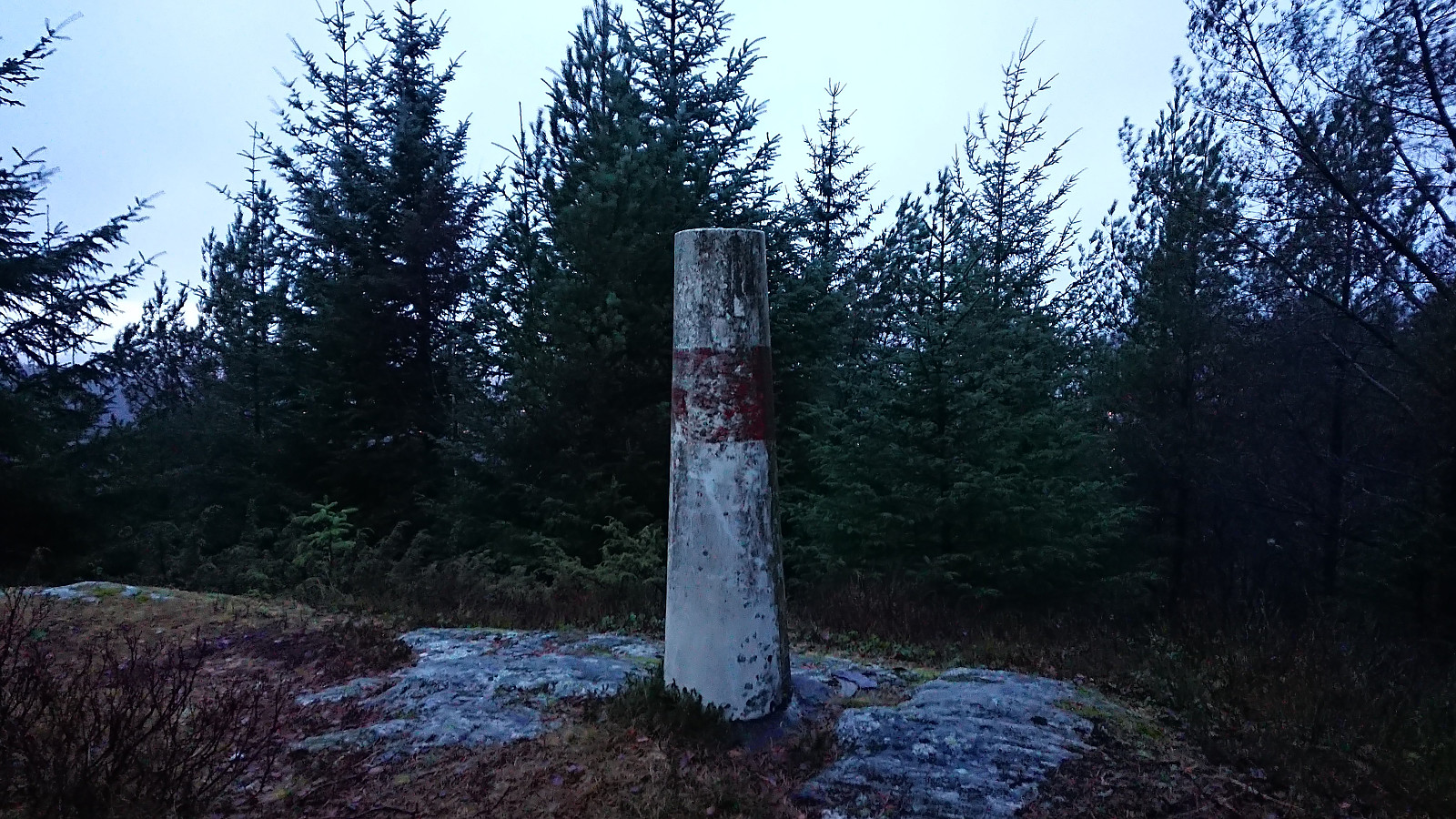
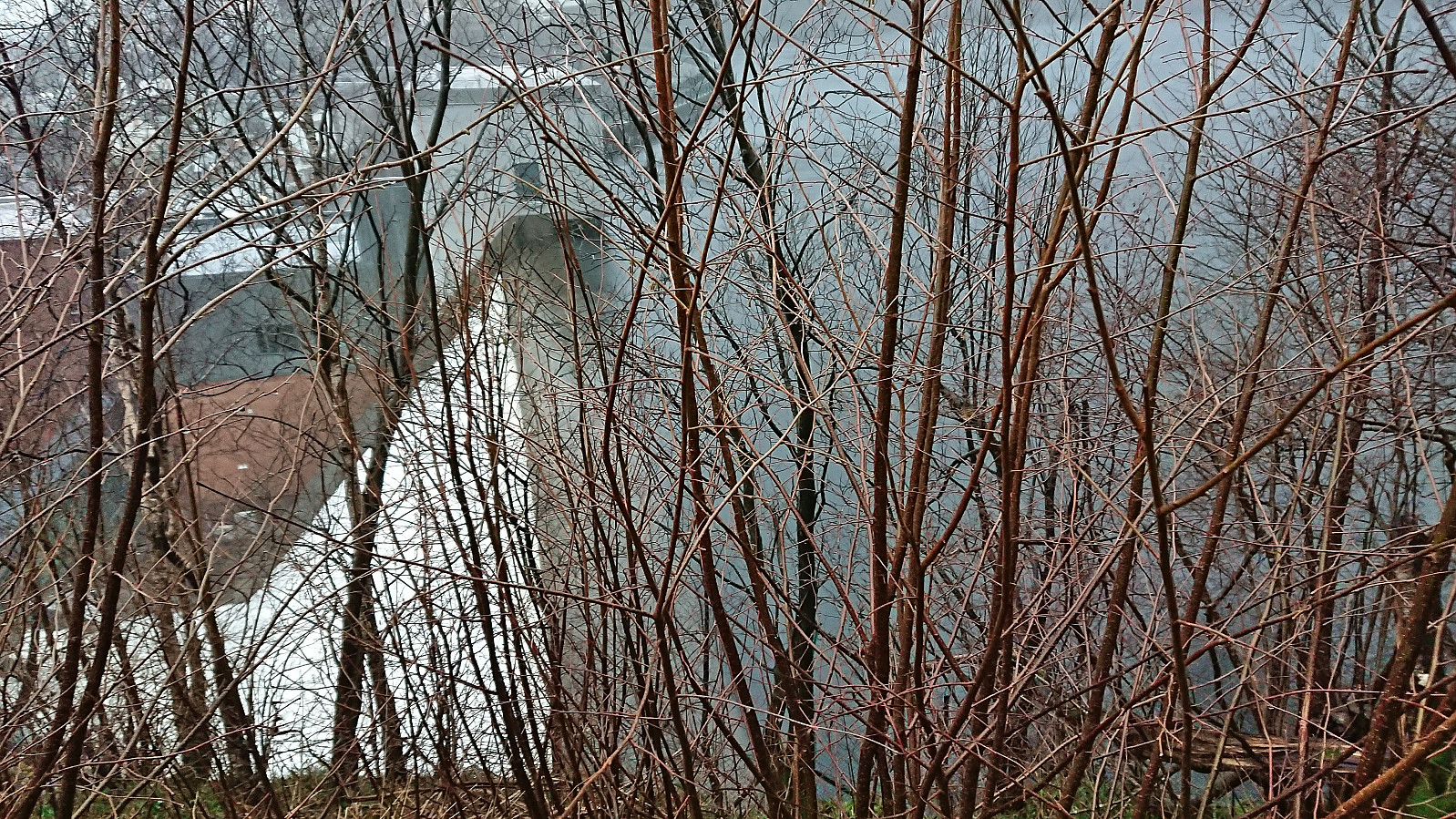 A short hike on a wet and foggy Sunday with the main objective of visiting an old trig marker next to the dam at Svartediket . Getting to the trig marker was easier than expected (probably due to my expectations being quite low). Limited views and not much interest for the average hiker though. Before returning to the road I also explored some steps that, combined with additional wooden steps, led to one of the large masts supporting the overhanging power lines just south of the trig marker. The hike was concluded by walking to the city center, including a stroll through Assistentkirkegården .
Birkelandsfjellet
- Date:
- 16.12.2023
- Characteristic:
- Hillwalk
- Duration:
- 1:03h
- Distance:
- 3.4km
 A return to Birkelandsfjellet for a visit of the trig marker west of the summit . It had been raining all day, but I managed to find a short opening just before it got dark. However, I had not fully considered that the limited light would be further reduced by the dense forest, and therefore did not bring my headlamp. As a result, the steep descent to Kirkebirkeland ended up being slightly more challenging than expected.
Hellemyrstien and Munkebotn
- Date:
- 10.12.2023
- Characteristic:
- Hike
- Duration:
- 2:19h
- Distance:
- 8.9km
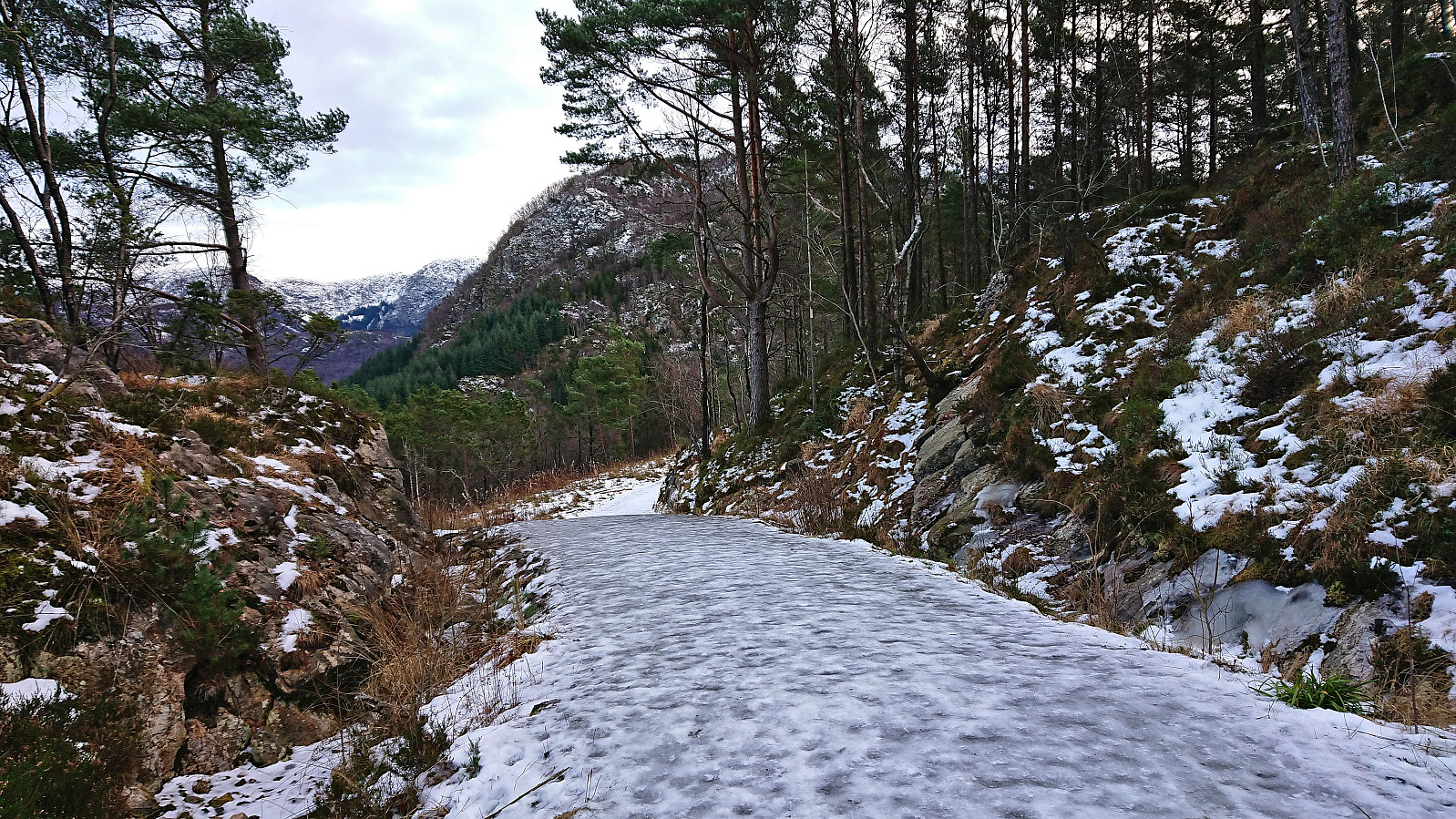 Local Sunday hike along ice-covered trails and roads.
Kråkenipa from Lonevåg
- Date:
- 09.12.2023
- Characteristic:
- Hillwalk
- Duration:
- 2:34h
- Distance:
- 9.4km
 Ever since my initial attempt at ascending Kråkenipa was abandoned less than 100 meters from the summit due to lots of grazing horses, I knew that I at some point had to return to complete the job. A gray Saturday in December seemed like the perfect opportunity. With the hope that the cold weather and the layer of snow would ensure that the horses would be gone this time around, I therefore set off for Osterøy.
I started by taking the bus to Myrsæter and walking down to the ferry at Breistein. After a short break, the ferry arrived to take me to Valestrand, from where I hopped on a bus to Lonevåg. As soon as I got off the bus at Lonevåg, it occurred to me that I of course could have taken the bus a couple stops further, but it simply had not crossed my mind, probably as I had been so focused on getting to Lonevåg in the first place. But in >>>
Ever since my initial attempt at ascending Kråkenipa was abandoned less than 100 meters from the summit due to lots of grazing horses, I knew that I at some point had to return to complete the job. A gray Saturday in December seemed like the perfect opportunity. With the hope that the cold weather and the layer of snow would ensure that the horses would be gone this time around, I therefore set off for Osterøy.
I started by taking the bus to Myrsæter and walking down to the ferry at Breistein. After a short break, the ferry arrived to take me to Valestrand, from where I hopped on a bus to Lonevåg. As soon as I got off the bus at Lonevåg, it occurred to me that I of course could have taken the bus a couple stops further, but it simply had not crossed my mind, probably as I had been so focused on getting to Lonevåg in the first place. But in >>>
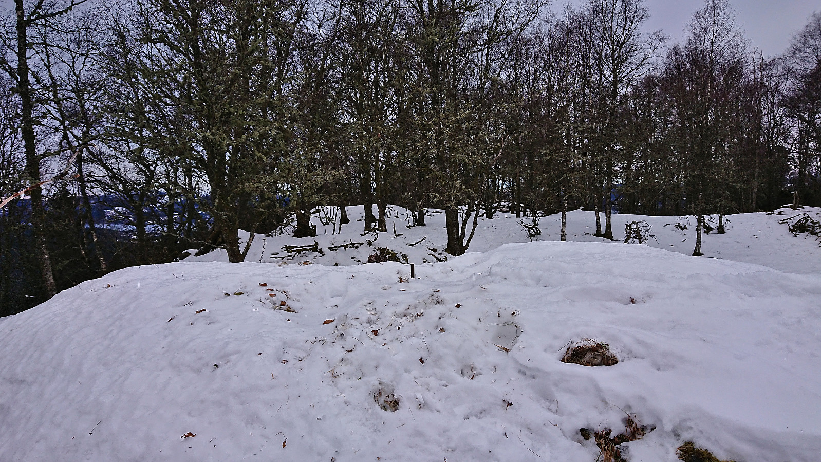
Fjellveien and Hellen festning
- Date:
- 03.12.2023
- Characteristic:
- Hike
- Duration:
- 2:35h
- Distance:
- 10.4km
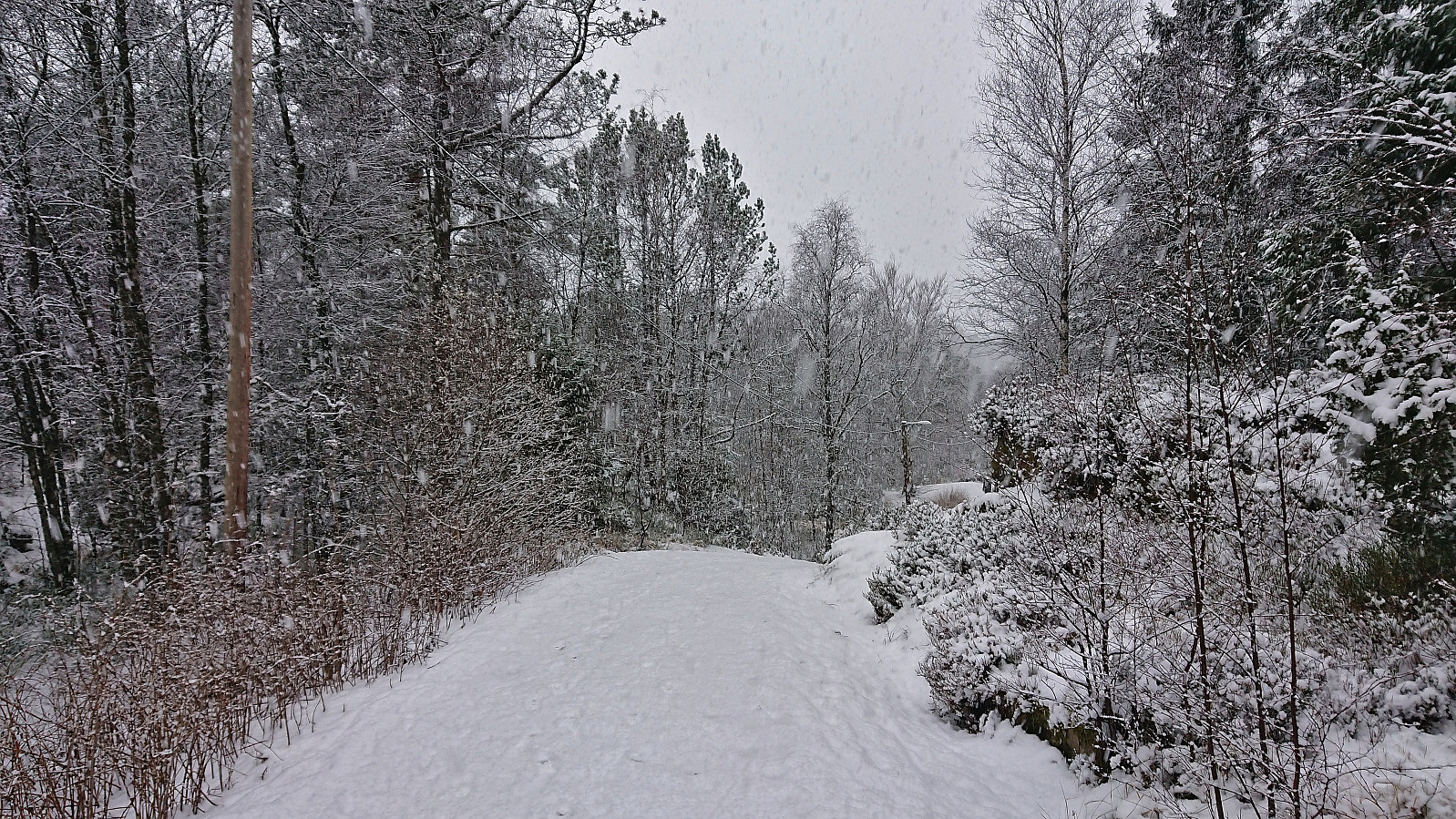 Sunday hike in the snow.
