Arkiv - dato
Arkiv - aktivitet
-
Annen tur (3)
- Kajakkpadling (3)
- Fottur (1782)
-
Kjøretur (9)
- Biltur (9)
-
Skitur (109)
- Fjellskitur (65)
- Langrennstur (44)
-
Sykkeltur (108)
- Blandet sykling (25)
- Gatesykling (83)
Lister jeg samler etter
-
Voss ≥ 100m pf.
(96/98)
 97%
97% -
Opptur Hordaland
(143/159)
89%
-
Stasjoner på Bergensbanen
(31/40)
77%
-
Ulvik ≥ 100m pf.
(28/38)
73%
-
Hordaland ≥ 100m pf.
(613/863)
71%
-
Mjølfjell PF > 100m
(21/31)
67%
-
Jondal ≥ 100m pf.
(15/23)
65%
-
Sunnhordland PF >= 100m
(104/186)
55%
-
Dagsturhyttene i Vestland
(33/61)
54%
-
Hordaland: Hardanger PF>=100m
(186/359)
51%
-
Kvinnherad ≥ 100m pf.
(40/79)
50%
-
DNT-hytter i Hordaland
(22/45)
48%
-
Sogndal ≥ 100m pf.
(23/81)
28%
-
Vik i Sogn ≥ 100m pf.
(8/46)
17%
-
DNT-hytter i Sogn og Fjordane
(8/47)
17%
-
Eidfjord ≥ 100m pf.
(7/42)
16%
-
Etne ≥ 100m pf.
(7/51)
13%
-
Ullensvang ≥ 100m pf.
(21/153)
13%
-
Sogn - Sør for Sognefjorden PF>=100m
(17/159)
10%
-
Opptur-topper i Sogn og Fjordane
(17/177)
9%

Kleppaksla, Storevarden, Vetenbua and Førdesveten
- Dato:
- 13.09.2023
- Turtype:
- Fjelltur
- Turlengde:
- 2:30t
- Distanse:
- 6,9km
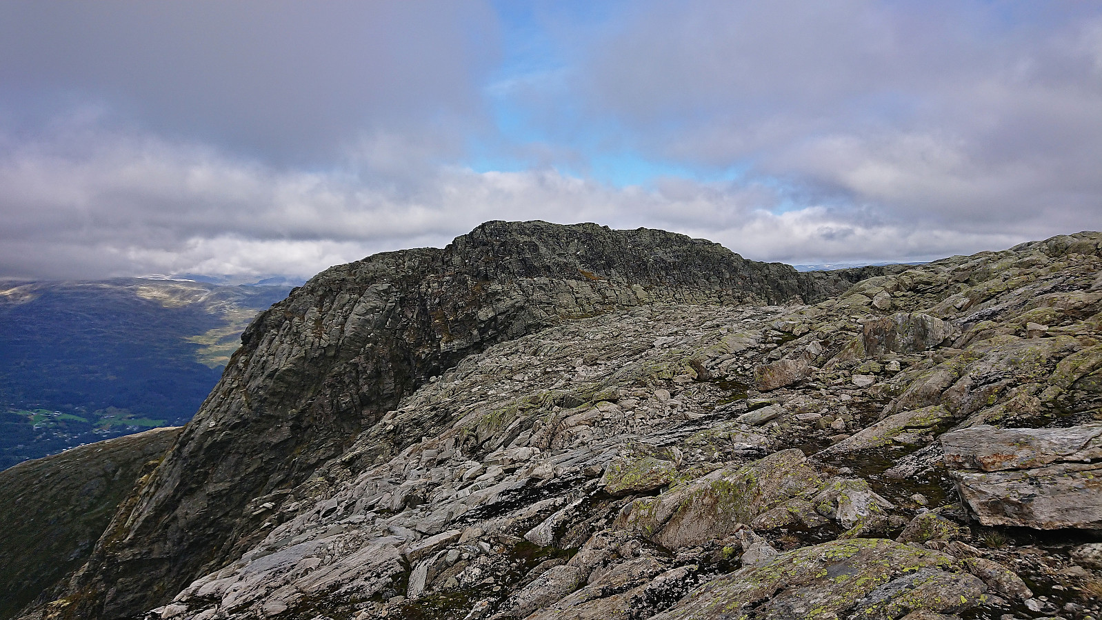
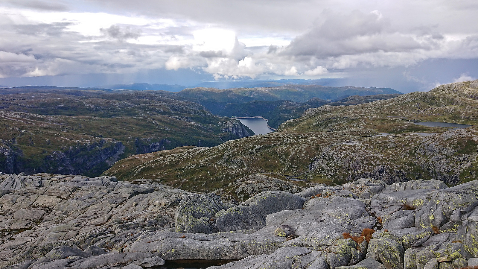
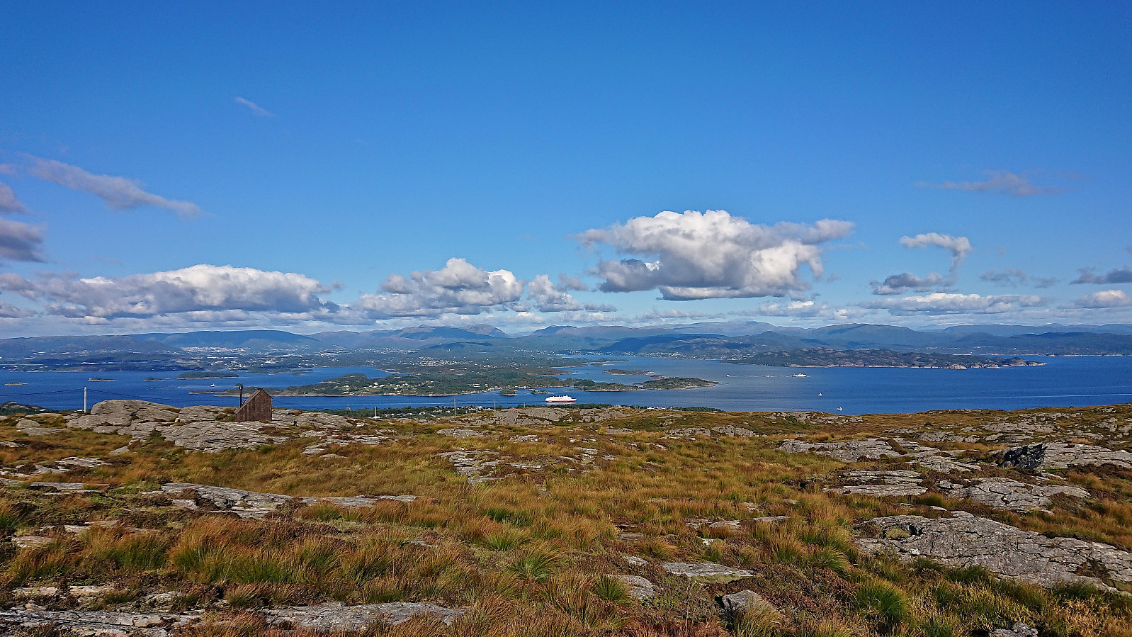 I left work early to take advantage of the great weather for a revisit of Førdesveten , mainly due to the recently opened dagsturhytte right next to the summit. After taking the bus from the city center, and switching buses at Skogskiftet terminal, I got off at Kleppe from where I followed a nice trail northwest. There was a sign at the trailhead but the trail itself was unmarked, except for the occasional small cairn later on, however the trail was easy to follow and I soon arrived at Kleppaksla . At Kleppaksla there was a visitor register just south of the highest point and excellent views in all directions.
From Kleppaksla I continued northeast along the trail until reaching the crossroads south of Førdesveten where I decided to make a short detour to Storevarden before returning and completing the final climb to the summit. The new >>>
I left work early to take advantage of the great weather for a revisit of Førdesveten , mainly due to the recently opened dagsturhytte right next to the summit. After taking the bus from the city center, and switching buses at Skogskiftet terminal, I got off at Kleppe from where I followed a nice trail northwest. There was a sign at the trailhead but the trail itself was unmarked, except for the occasional small cairn later on, however the trail was easy to follow and I soon arrived at Kleppaksla . At Kleppaksla there was a visitor register just south of the highest point and excellent views in all directions.
From Kleppaksla I continued northeast along the trail until reaching the crossroads south of Førdesveten where I decided to make a short detour to Storevarden before returning and completing the final climb to the summit. The new >>>
Ørneberget NV and Hellen festning
- Dato:
- 12.09.2023
- Turtype:
- Fjelltur
- Turlengde:
- 0:51t
- Distanse:
- 3,6km
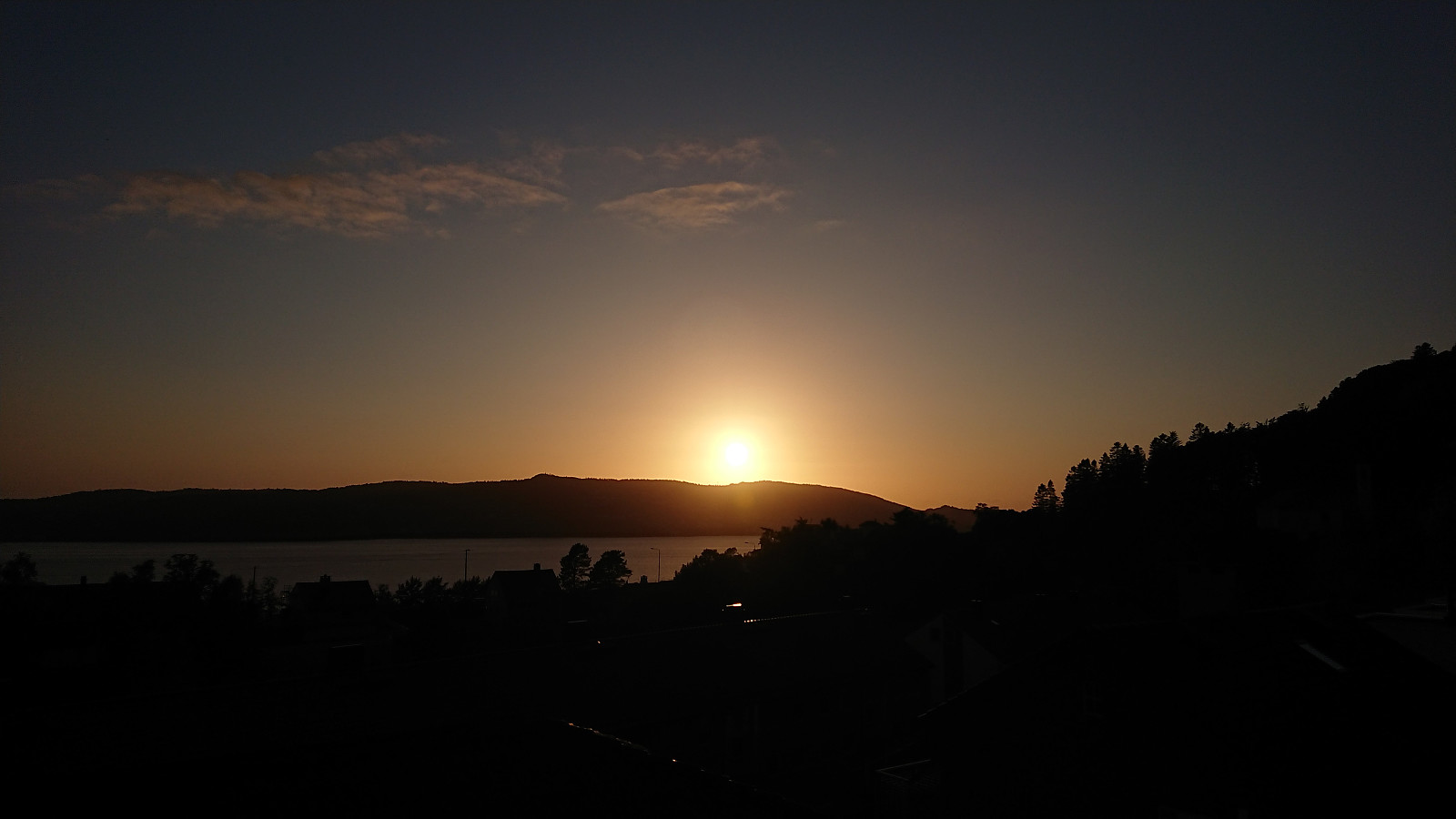
 Short local evening hike just before sunset.
Helleneset and Hellen festning
- Dato:
- 10.09.2023
- Turtype:
- Fottur
- Turlengde:
- 0:51t
- Distanse:
- 4,0km
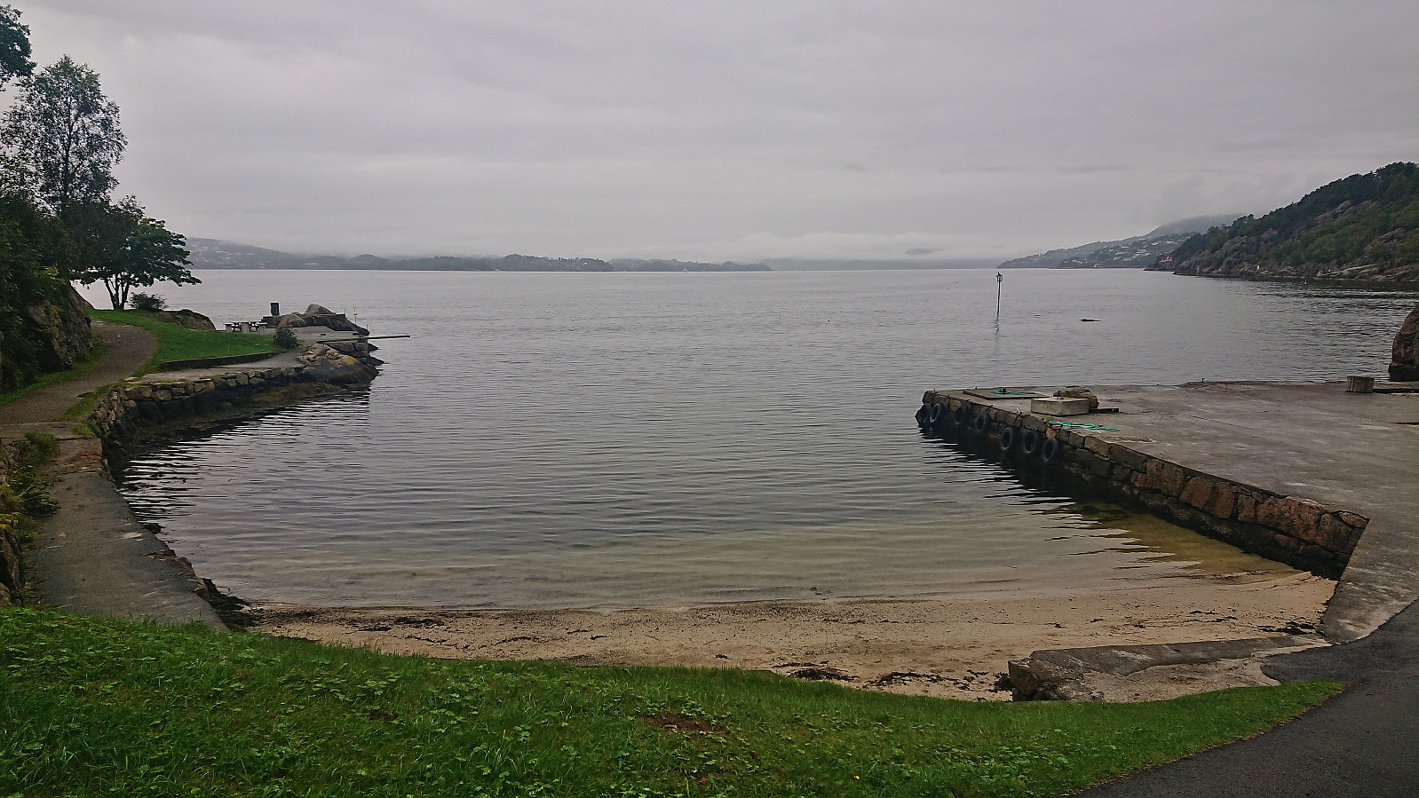 Short local hike on a gray Sunday.
Ørneberget and Hellen festning
- Dato:
- 09.09.2023
- Turtype:
- Fjelltur
- Turlengde:
- 1:04t
- Distanse:
- 4,8km
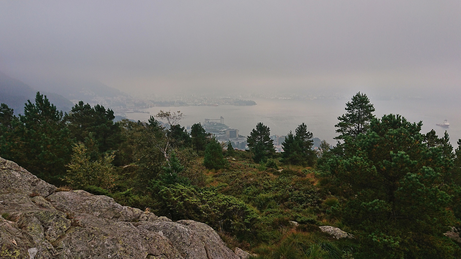 Short local Saturday hike on a day with limited views due to low-hanging clouds/fog.
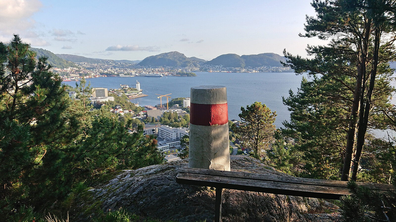
Hauggjelsvarden and Ulriken Vest from Sædalen
- Dato:
- 06.09.2023
- Turtype:
- Fjelltur
- Turlengde:
- 4:15t
- Distanse:
- 11,9km
 Hike after work with a colleague taking part in Stolpejakten (hence the odd detour after leaving Hauggjelsvarden ).
Across Hellen festning
- Dato:
- 05.09.2023
- Turtype:
- Fottur
- Turlengde:
- 0:36t
- Distanse:
- 3,1km
 Short local evening hike.
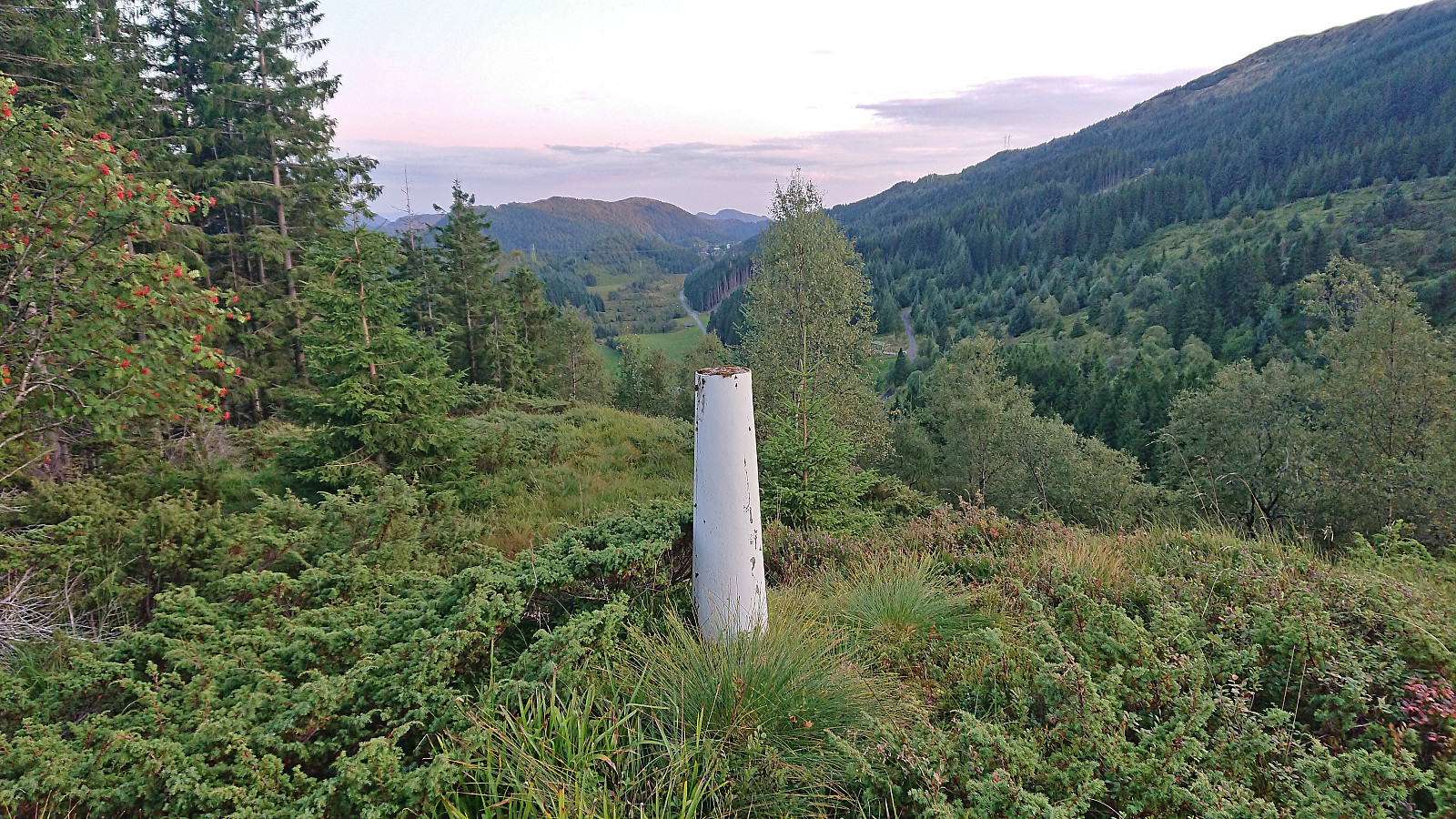
Raundalsryggen from Reimegrend to Øyeflaten
- Dato:
- 02.09.2023
- Turtype:
- Fjelltur
- Turlengde:
- 10:14t
- Distanse:
- 30,4km
 Started by taking the train to Reimegrend and after safely crossing to the south side of the railroad tracks I followed the river east, first off-trail and then on a little used path that included a small wooden bridge. Just after the bridge I turned south towards the river along a trail which I thought would bring me to the bridge across Raundalselvi . This trail however pretty much came to an end at a small island northwest of the bridge and I had to find my own way to the bridge from there. Thankfully, the water level in the river was not very high and I managed to leave the island and get to the bridge without getting wet.
After crossing the bridge I followed a trail southeast to Vetlaheggstølen and Mysedalen. While walking along the river was nice, the trail was clearly not very frequently used and disappeared several times. From Vetlaheggstølen >>>
Started by taking the train to Reimegrend and after safely crossing to the south side of the railroad tracks I followed the river east, first off-trail and then on a little used path that included a small wooden bridge. Just after the bridge I turned south towards the river along a trail which I thought would bring me to the bridge across Raundalselvi . This trail however pretty much came to an end at a small island northwest of the bridge and I had to find my own way to the bridge from there. Thankfully, the water level in the river was not very high and I managed to leave the island and get to the bridge without getting wet.
After crossing the bridge I followed a trail southeast to Vetlaheggstølen and Mysedalen. While walking along the river was nice, the trail was clearly not very frequently used and disappeared several times. From Vetlaheggstølen >>>
Hellen festning, Furukammen and Ørneberget NV
- Dato:
- 01.09.2023
- Turtype:
- Fottur
- Turlengde:
- 2:10t
- Distanse:
- 6,0km
 Short local evening hike.
Dyrdalsrunden
- Dato:
- 30.08.2023
- Turtype:
- Fjelltur
- Turlengde:
- 6:30t
- Distanse:
- 14,3km
 Left work early for a hike with two colleagues following the so-called Dyrdalsrunden, i.e. a hike following the ridges around Dyrdalsvatnet . Excellent views along the way but the trails were overall not of the best quality and rather muddy. On the way back to the car I made a small detour on my own to Bontveit søyle . This included a steep ascent from the east with lots of fallen trees to crawl over/under as a I got close to the trig marker and an equally steep descent south along the ridge. So while the main hike can be highly recommended, a visit of Bontveit søyle is clearly more of an acquired taste.
Sundagsfjellet, Fridalsnova and Vest for Vestrebotn
- Dato:
- 26.08.2023
- Turtype:
- Fjelltur
- Turlengde:
- 11:26t
- Distanse:
- 25,9km
 A return to Modalen with Petter to visit the final two peaks he had not yet visited in Nordhordland. Petter picked me up at my place at 06:30 and after around 1.5 hours of driving we parked at the small parking lot in Heimdal and were soon ready to begin our hike up Norddalen.
In Norddalen there is a trail marked with red T's, however both the trail and the trail markers were often difficult to spot and we ended up losing the trail a couple of times. But given that the main direction was pretty obvious, i.e. head up the valley, this was not a big problem. The wet surfaces and the many slippery rocks however provided more of a challenge and meant that we had to proceed with care. Note that trying to follow the markers is still very much recommended as there were several maze-like passages in between large boulders where the markers >>>
A return to Modalen with Petter to visit the final two peaks he had not yet visited in Nordhordland. Petter picked me up at my place at 06:30 and after around 1.5 hours of driving we parked at the small parking lot in Heimdal and were soon ready to begin our hike up Norddalen.
In Norddalen there is a trail marked with red T's, however both the trail and the trail markers were often difficult to spot and we ended up losing the trail a couple of times. But given that the main direction was pretty obvious, i.e. head up the valley, this was not a big problem. The wet surfaces and the many slippery rocks however provided more of a challenge and meant that we had to proceed with care. Note that trying to follow the markers is still very much recommended as there were several maze-like passages in between large boulders where the markers >>>
