Archive - Date
Archive - Activity
-
Bike trip (108)
- Bike trip - mixed (25)
- Bike trip - road (83)
-
Drive (9)
- Car drive (9)
-
Other trip (3)
- Kayaking (3)
-
Ski trip (109)
- Backcountry skiing (65)
- Cross-country skiing (44)
- Trip by foot (1782)
Collected lists
-
Voss ≥ 100m pf.
(96/98)
 97%
97% -
Opptur Hordaland
(143/159)
89%
-
Stasjoner på Bergensbanen
(31/40)
77%
-
Ulvik ≥ 100m pf.
(28/38)
73%
-
Hordaland ≥ 100m pf.
(613/863)
71%
-
Mjølfjell PF > 100m
(21/31)
67%
-
Jondal ≥ 100m pf.
(15/23)
65%
-
Sunnhordland PF >= 100m
(104/186)
55%
-
Dagsturhyttene i Vestland
(33/61)
54%
-
Hordaland: Hardanger PF>=100m
(186/359)
51%
-
Kvinnherad ≥ 100m pf.
(40/79)
50%
-
DNT-hytter i Hordaland
(22/45)
48%
-
Sogndal ≥ 100m pf.
(23/81)
28%
-
Vik i Sogn ≥ 100m pf.
(8/46)
17%
-
DNT-hytter i Sogn og Fjordane
(8/47)
17%
-
Eidfjord ≥ 100m pf.
(7/42)
16%
-
Etne ≥ 100m pf.
(7/51)
13%
-
Ullensvang ≥ 100m pf.
(21/153)
13%
-
Sogn - Sør for Sognefjorden PF>=100m
(17/159)
10%
-
Opptur i Sogn og Fjordane peaks
(17/177)
9%

Orretua and Dræggehytten
- Date:
- 16.03.2021
- Characteristic:
- Hillwalk
- Duration:
- 2:30h
- Distance:
- 9.4km
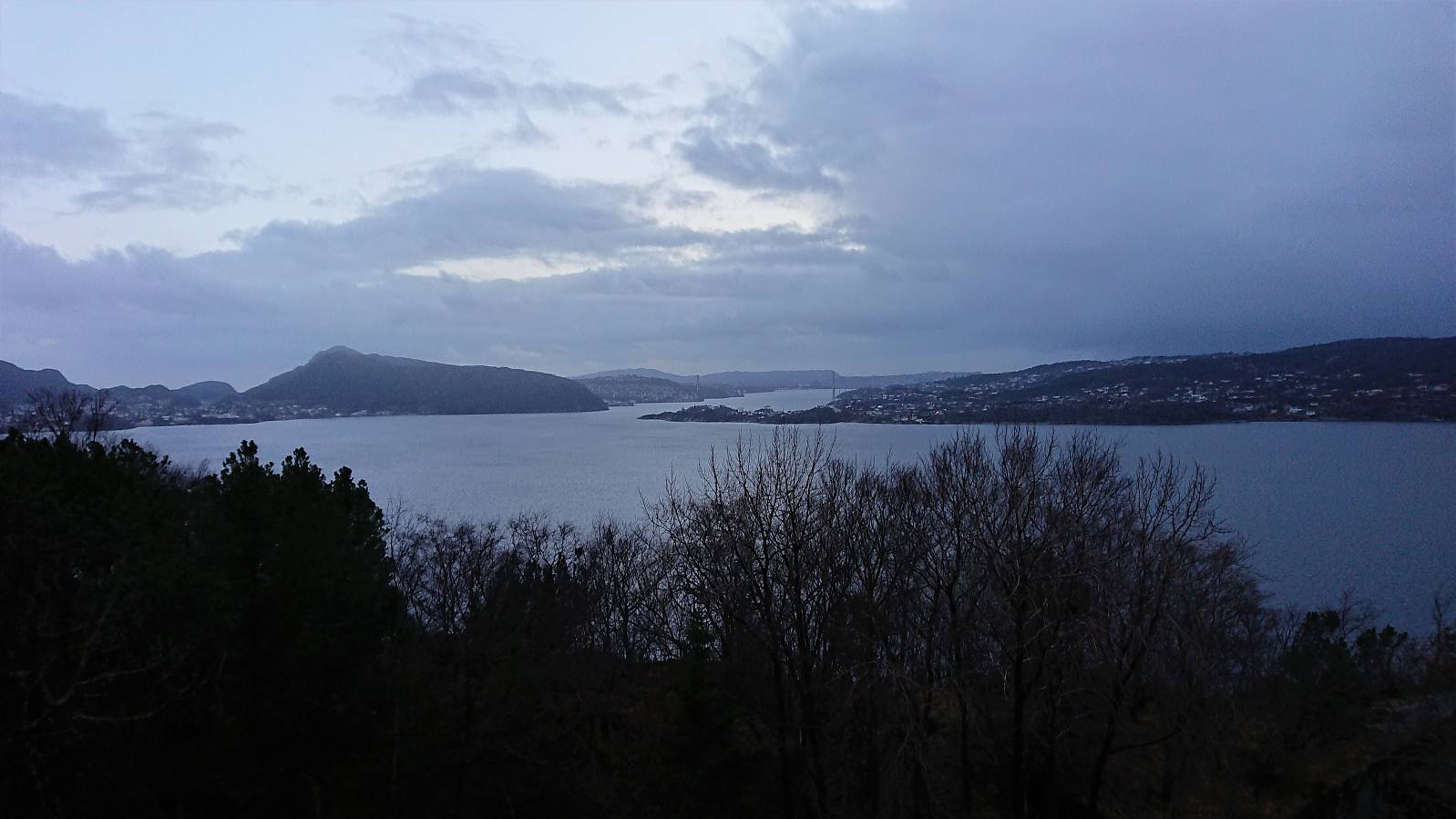
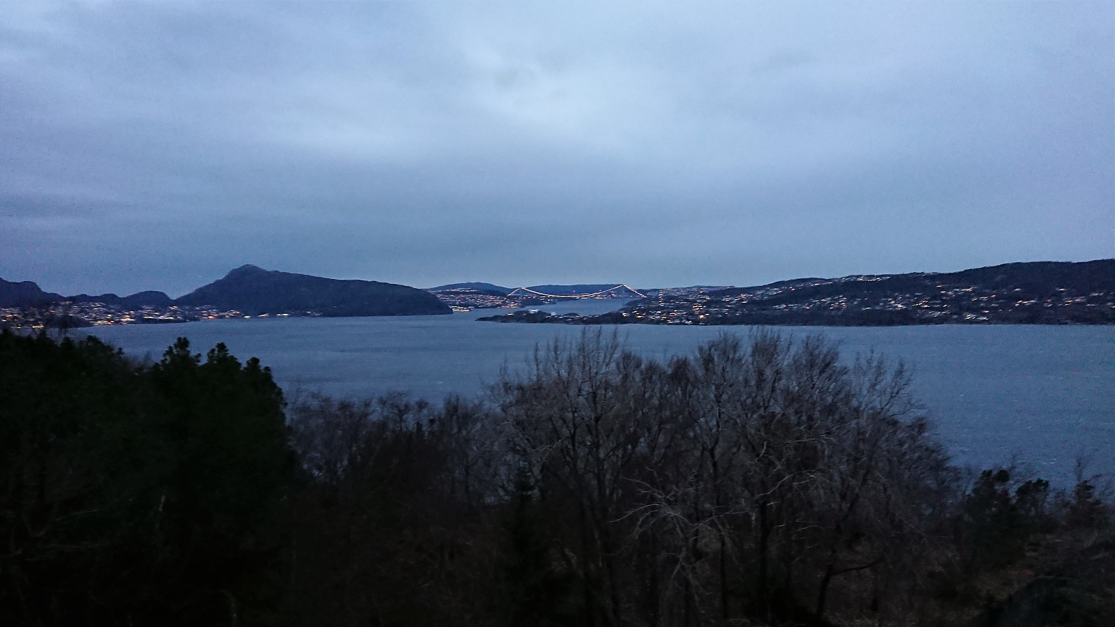
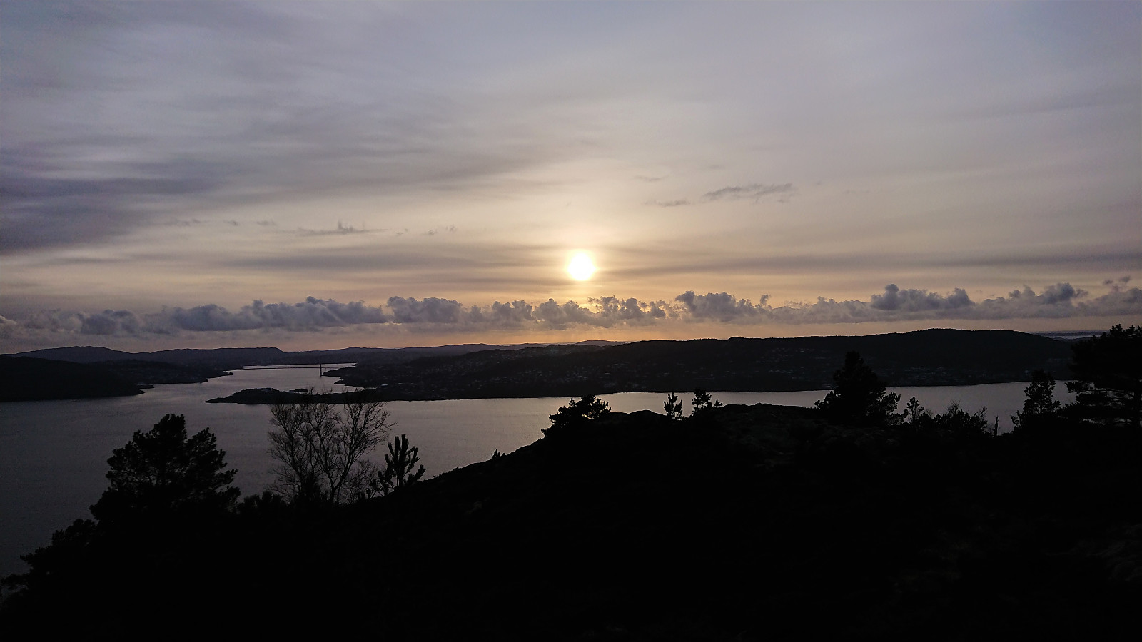
 Local hike after work. Snow and ice for the final ascent to Dræggehytten and for the first part of the descent as well.
Ørneberget and Rognåsen
- Date:
- 15.03.2021
- Characteristic:
- Hillwalk
- Duration:
- 1:21h
- Distance:
- 6.2km
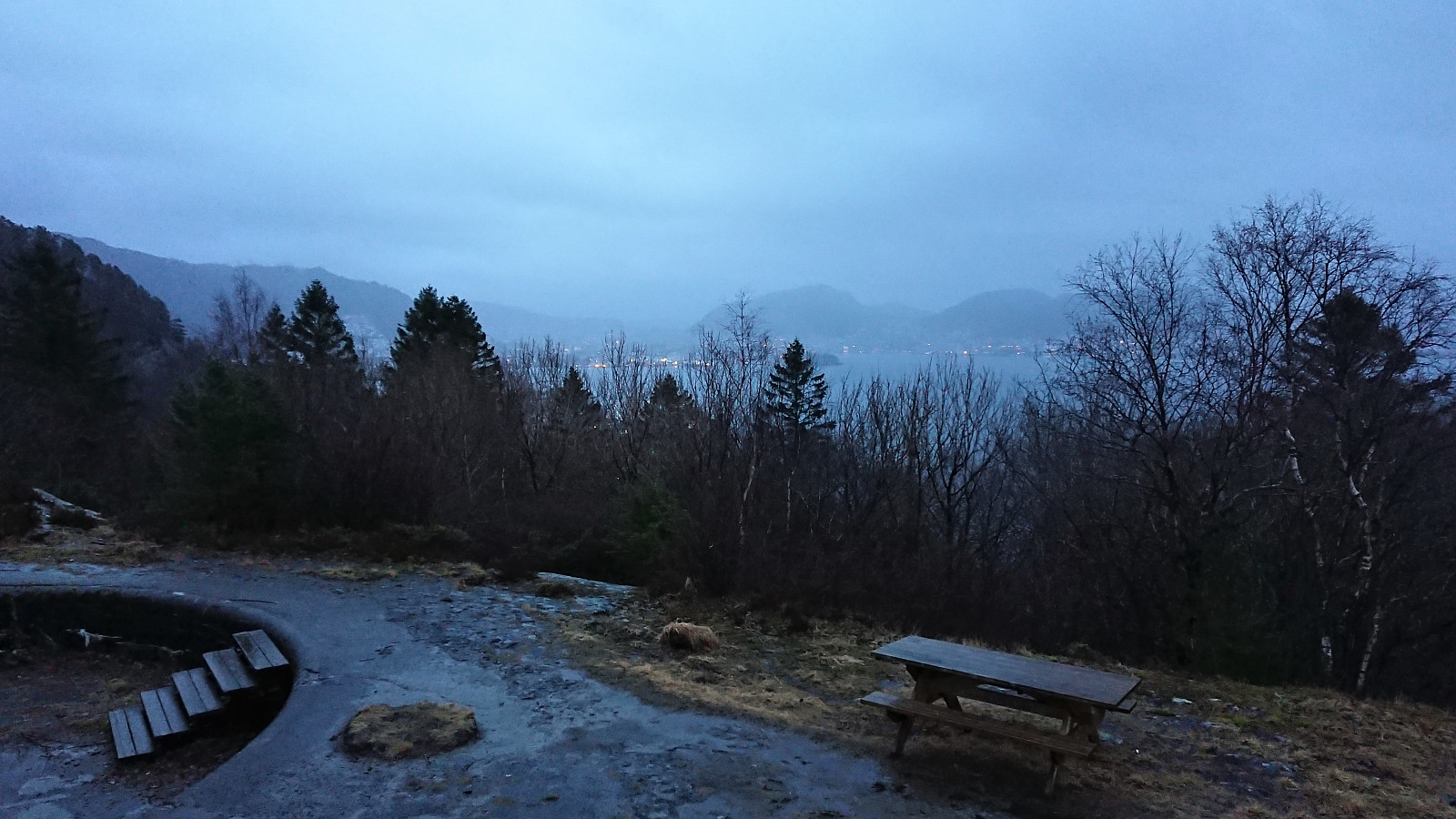
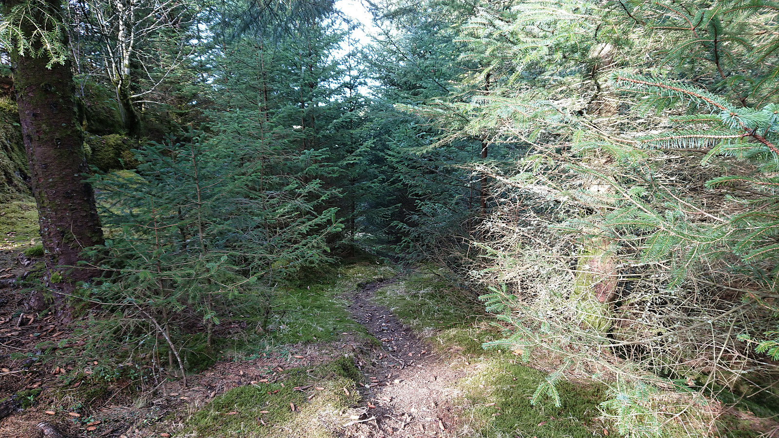
 Short local hike after work.
Ørneberget and Rognåsen
- Date:
- 14.03.2021
- Characteristic:
- Hillwalk
- Duration:
- 1:36h
- Distance:
- 6.4km
 Local hike when it finally stopped raining.
Sandviksbatteriet and Gamle Bergen
- Date:
- 13.03.2021
- Characteristic:
- Hike
- Duration:
- 2:22h
- Distance:
- 11.3km
 Local hike on a gray Saturday during wet snow showers.
Across Hellen festning
- Date:
- 12.03.2021
- Characteristic:
- Hike
- Duration:
- 0:35h
- Distance:
- 3.1km
 Short local hike after work.
Hellen festning and Furukammen
- Date:
- 11.03.2021
- Characteristic:
- Hike
- Duration:
- 1:45h
- Distance:
- 4.9km
 Short local hike after work
Across Hellen festning
- Date:
- 10.03.2021
- Characteristic:
- Hike
- Duration:
- 0:35h
- Distance:
- 3.1km
 Short local hike after work.
Unknown ruins above Munkebotsvatnet
- Date:
- 09.03.2021
- Characteristic:
- Hillwalk
- Duration:
- 2:19h
- Distance:
- 9.5km
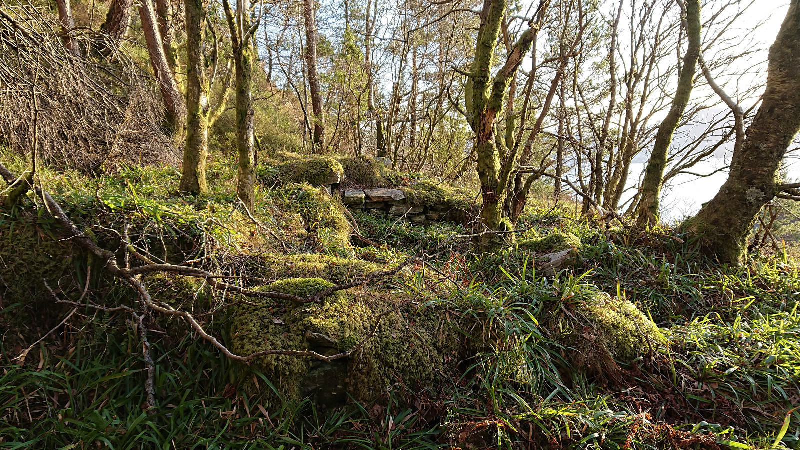 After LarsKr (Lars Kristian Inderhaug) made me aware of some unknown ruins east of Munkebotsvatnet, I of course had to take a closer look. The first ruin, referred to as Ruin SØ for Fjellstova , was found less than 100 meters southeast from the ruins of Fjellstova and was easily reached by following a weak trail/deer track from Fjellstova, which itself is only a short detour from the main trail to Sandvikshytten . This one I had also passed by on an earlier hike more than a year ago , but I cannot remember whether I noticed the ruins during that hike.
I continued southeast along a weak trail/deer track in the direction of the second ruin, referred to as Ruin vest for Brennhaugen . This one I had not visited before, and probably would not have come across if it was not for the directions provided by Lars Kristian, even though these were the most visible ruins, albeit in an area that is clearly off the beaten track.
From this location I >>>
After LarsKr (Lars Kristian Inderhaug) made me aware of some unknown ruins east of Munkebotsvatnet, I of course had to take a closer look. The first ruin, referred to as Ruin SØ for Fjellstova , was found less than 100 meters southeast from the ruins of Fjellstova and was easily reached by following a weak trail/deer track from Fjellstova, which itself is only a short detour from the main trail to Sandvikshytten . This one I had also passed by on an earlier hike more than a year ago , but I cannot remember whether I noticed the ruins during that hike.
I continued southeast along a weak trail/deer track in the direction of the second ruin, referred to as Ruin vest for Brennhaugen . This one I had not visited before, and probably would not have come across if it was not for the directions provided by Lars Kristian, even though these were the most visible ruins, albeit in an area that is clearly off the beaten track.
From this location I >>>
Ørneberget and Hellen festning
- Date:
- 08.03.2021
- Characteristic:
- Hillwalk
- Duration:
- 0:55h
- Distance:
- 4.1km
 Short local hike after work.
Storhøyen, Tveitaneset and Kvamsvågen
- Date:
- 07.03.2021
- Characteristic:
- Hillwalk
- Duration:
- 0:39h
- Distance:
- 2.3km
 On our way home from the hike to Orrnipa , I made a quick stop at Storhøyen which could be easily reached via first a tractor road up from Skarsvegen and then a short off-trail ascent to the summit. The summit provided nice views across the fjord to the southwest and even included the remains of an old trig marker. I continued a bit further along the trail/tractor road towards Tveitaneset but this did not result in a major difference with regards to the views. After this minor detour, I followed a trail down to what was left of an old house down by the sea, before finally following the same trail to Kvamsvågen, from where a gravel road could be followed back to the main road.
