Archive - Date
Archive - Activity
-
Bike trip (108)
- Bike trip - mixed (25)
- Bike trip - road (83)
-
Drive (9)
- Car drive (9)
-
Other trip (3)
- Kayaking (3)
-
Ski trip (109)
- Backcountry skiing (65)
- Cross-country skiing (44)
- Trip by foot (1782)
Collected lists
-
Voss ≥ 100m pf.
(96/98)
 97%
97% -
Opptur Hordaland
(143/159)
89%
-
Stasjoner på Bergensbanen
(31/40)
77%
-
Ulvik ≥ 100m pf.
(28/38)
73%
-
Hordaland ≥ 100m pf.
(613/863)
71%
-
Mjølfjell PF > 100m
(21/31)
67%
-
Jondal ≥ 100m pf.
(15/23)
65%
-
Sunnhordland PF >= 100m
(104/186)
55%
-
Dagsturhyttene i Vestland
(33/61)
54%
-
Hordaland: Hardanger PF>=100m
(186/359)
51%
-
Kvinnherad ≥ 100m pf.
(40/79)
50%
-
DNT-hytter i Hordaland
(22/45)
48%
-
Sogndal ≥ 100m pf.
(23/81)
28%
-
Vik i Sogn ≥ 100m pf.
(8/46)
17%
-
DNT-hytter i Sogn og Fjordane
(8/47)
17%
-
Eidfjord ≥ 100m pf.
(7/42)
16%
-
Etne ≥ 100m pf.
(7/51)
13%
-
Ullensvang ≥ 100m pf.
(21/153)
13%
-
Sogn - Sør for Sognefjorden PF>=100m
(17/159)
10%
-
Opptur i Sogn og Fjordane peaks
(17/177)
9%

Orrnipa from Sæbø
- Date:
- 07.03.2021
- Characteristic:
- Hillwalk
- Duration:
- 1:43h
- Distance:
- 5.4km
 A short hike were we more or less followed in the footsteps of Kjell . We parked by the church at Sæbø and from there followed an unmarked gravel road southeast. When the road ended there was a trailhead marked by a blue arrow and a trail that could easily be followed all the way to the summit. (Note that about halfway to the summit there was also a marked trail coming up from Vetås/Vettås, hence it should also be possible to ascend Orrnipa from that direction as well.) The summit provided excellent views in all directions, even more so for only being 170 meters above sea level.
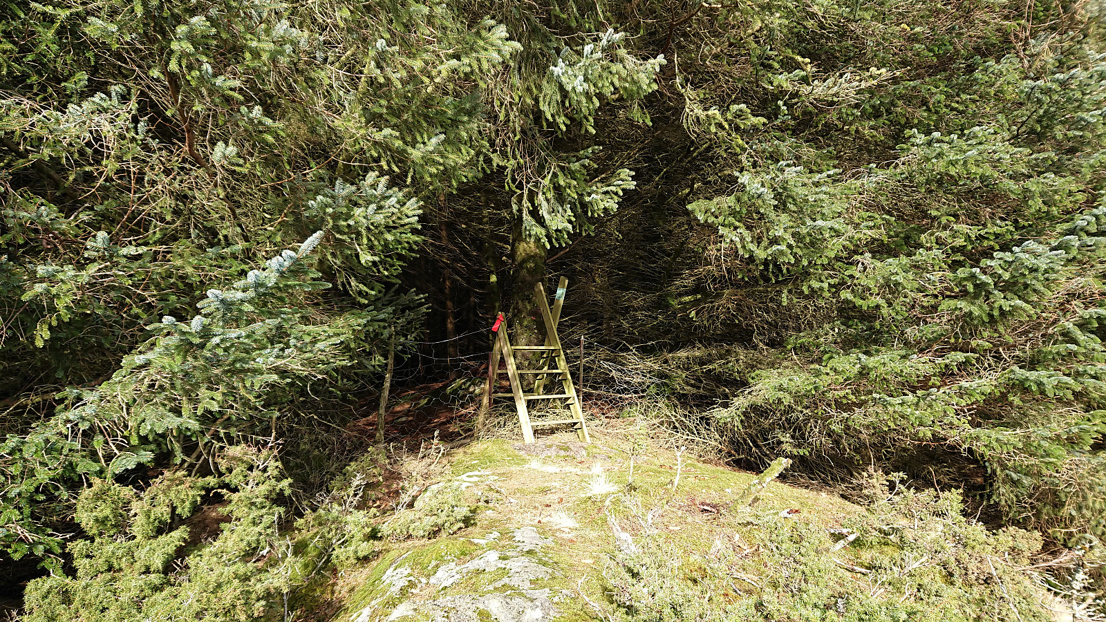
From the summit we followed a weak trail marked with blue paint, but unlike Kjell we continued on this trail as it entered into the dense forest. Upon exiting the forest we however soon arrived at a fence with no further trail markers to be found. We tried >>>
A short hike were we more or less followed in the footsteps of Kjell . We parked by the church at Sæbø and from there followed an unmarked gravel road southeast. When the road ended there was a trailhead marked by a blue arrow and a trail that could easily be followed all the way to the summit. (Note that about halfway to the summit there was also a marked trail coming up from Vetås/Vettås, hence it should also be possible to ascend Orrnipa from that direction as well.) The summit provided excellent views in all directions, even more so for only being 170 meters above sea level.
From the summit we followed a weak trail marked with blue paint, but unlike Kjell we continued on this trail as it entered into the dense forest. Upon exiting the forest we however soon arrived at a fence with no further trail markers to be found. We tried >>>
Skreddersteinen
- Date:
- 06.03.2021
- Characteristic:
- Hike
- Duration:
- 2:46h
- Distance:
- 13.9km
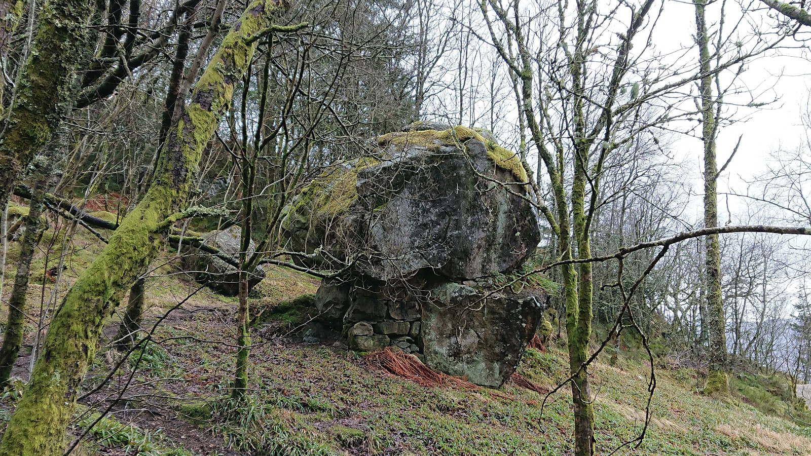 Local hike on a gray Saturday to visit Skreddersteinen , a large rock above Breistølen that I cannot remember having visited before. Easily accessible either via the trail I used on the ascent or by following the paved road of Breistølen that I used for the descent. From Skreddersteinen I took a short detour south along a trail, following a steep trail and passing by a spot with a nice view before returning, still along a trail, back to Skreddersteinen.
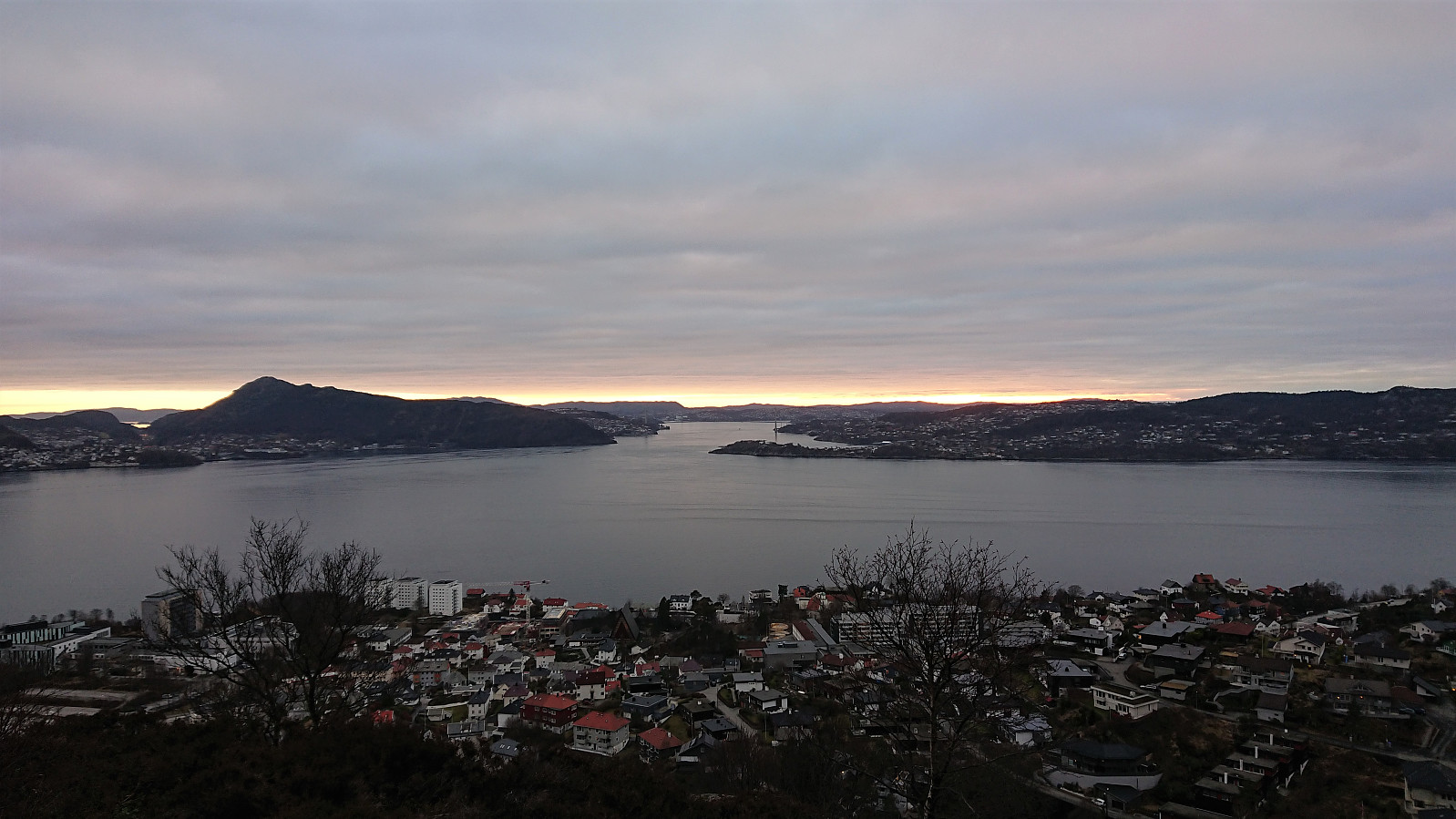
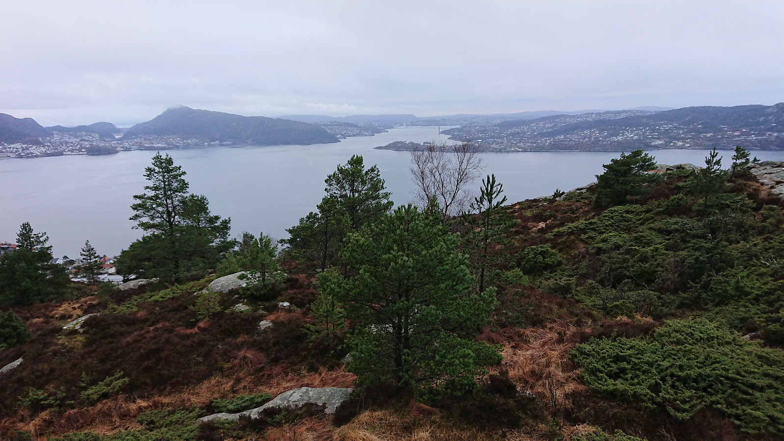
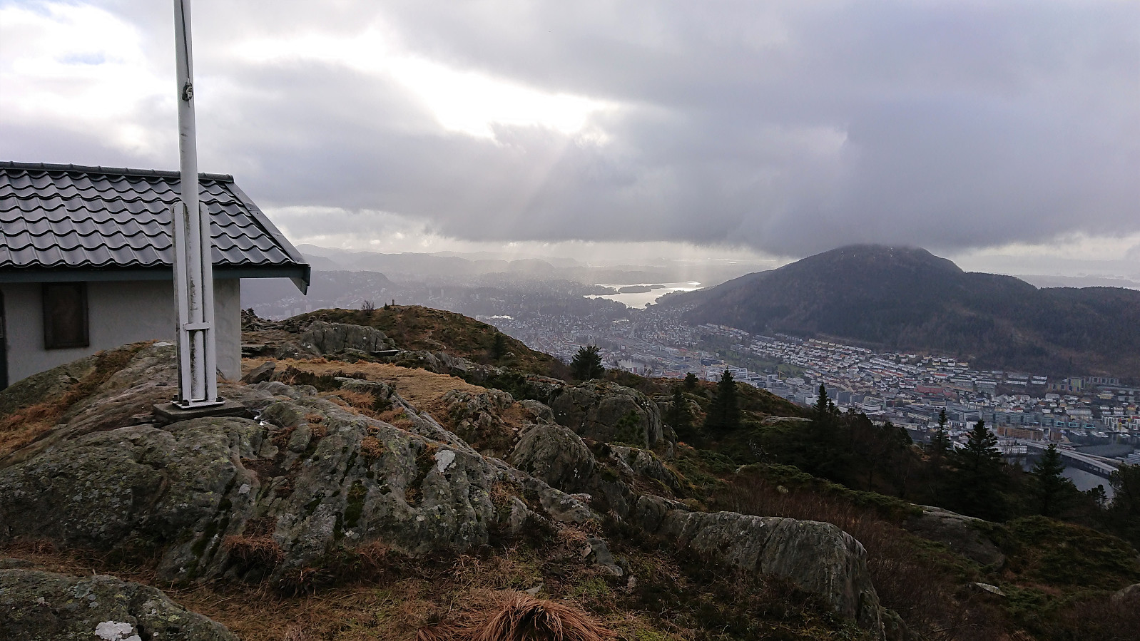
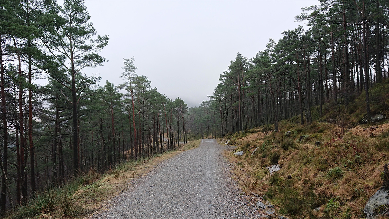
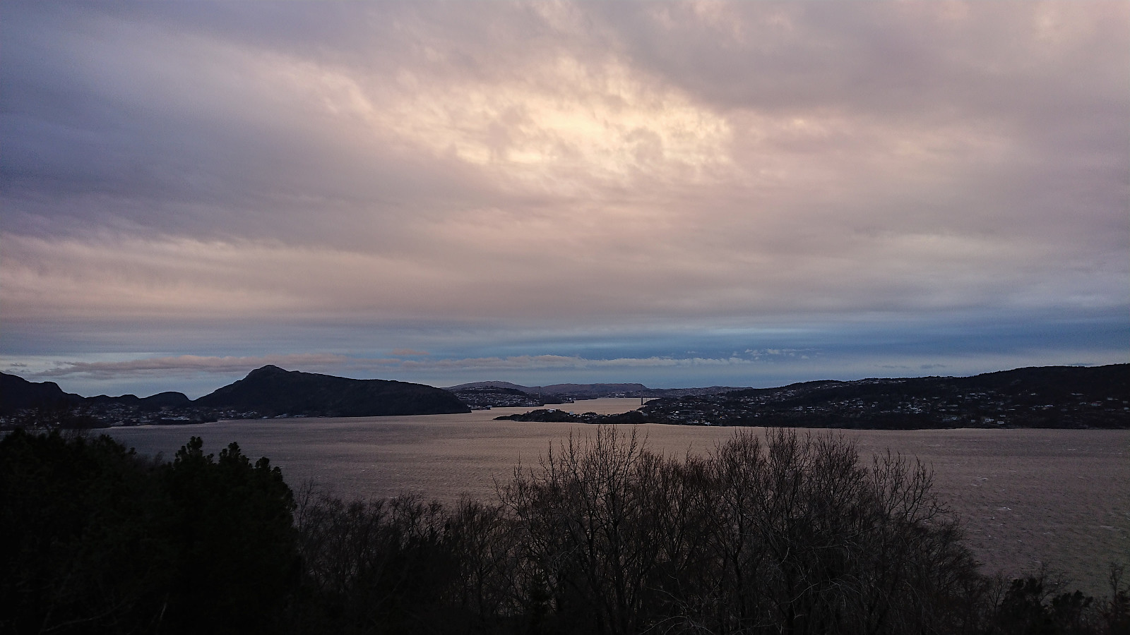
Løvstakken via Storavatnet
- Date:
- 04.03.2021
- Characteristic:
- Hillwalk
- Duration:
- 5:28h
- Distance:
- 14.3km
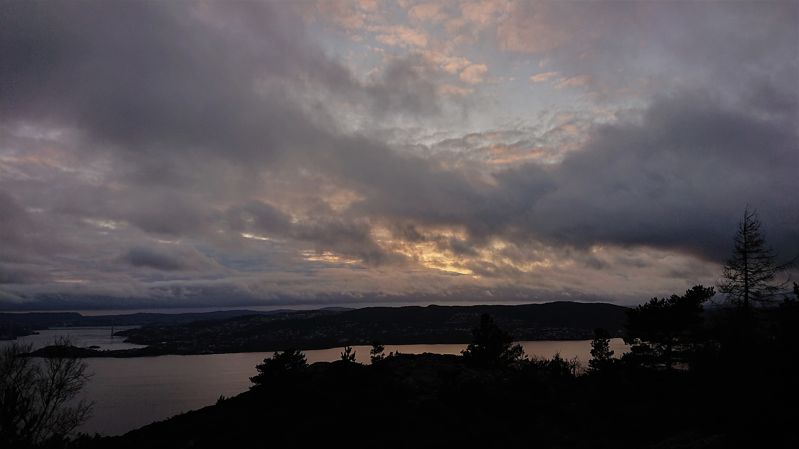
 Given the excellent weather I decided take the afternoon off for a hike to Løvstakken , and even managed to convince a colleague to join. On the way there we also visited the two small hills on the southern end of Storavatnet, where only the northern one had a proper trail to the summit. For the southern one we found a trail/animal track that could be followed all the way to the summit, while the descent was off-trail but still straightforward.
Limited views from both summits, but very nice views could be obtained if heading to the 191.1 hill 25 meters west of the summit of Haug nord for Svartatjørna . On the way to Løvstakken I also made a quick detour on my own to some unnamed ruins that I had not previously visited north of the ruins of Vardheim .
Cold wind at the top of Løvstakken, hence we did not stay long before starting our descent where we attempted a (for us) new trail down >>>
Given the excellent weather I decided take the afternoon off for a hike to Løvstakken , and even managed to convince a colleague to join. On the way there we also visited the two small hills on the southern end of Storavatnet, where only the northern one had a proper trail to the summit. For the southern one we found a trail/animal track that could be followed all the way to the summit, while the descent was off-trail but still straightforward.
Limited views from both summits, but very nice views could be obtained if heading to the 191.1 hill 25 meters west of the summit of Haug nord for Svartatjørna . On the way to Løvstakken I also made a quick detour on my own to some unnamed ruins that I had not previously visited north of the ruins of Vardheim .
Cold wind at the top of Løvstakken, hence we did not stay long before starting our descent where we attempted a (for us) new trail down >>>
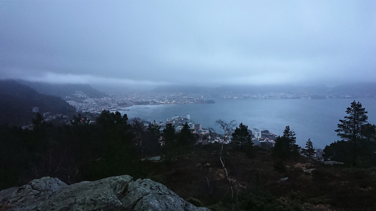
Ørneberget and Hellen festning
- Date:
- 03.03.2021
- Characteristic:
- Hillwalk
- Duration:
- 0:53h
- Distance:
- 4.0km
 Short local hike after work.
Ørneberget and Rognåsen
- Date:
- 02.03.2021
- Characteristic:
- Hillwalk
- Duration:
- 1:30h
- Distance:
- 6.3km
 Short local hike after work.
Ørneberget and Hellen festning
- Date:
- 01.03.2021
- Characteristic:
- Hillwalk
- Duration:
- 0:53h
- Distance:
- 4.2km
 Short local hike after work.
Langhaugen to Lønborg
- Date:
- 28.02.2021
- Characteristic:
- Hillwalk
- Duration:
- 3:08h
- Distance:
- 14.4km
 Started by taking the bus to Langhaugen, and after a quick visit of the small hill with the same name , I simply walked home to Lønborg via Søre and Nordre Midtfjellet . When descending from Nordre Midtfjellet I came across a (for me) new trail that I could follow north until it connected with the gravel road of "lysløypen". I did not follow the gravel road for long though, as I soon came across yet another new trail that turned out to be a shortcut down Midtre Stemmedalen. Interesting that it is still possible to find new trails in otherwise very familiar hiking terrain! :)
Hellen festning and Hellemyrstien
- Date:
- 27.02.2021
- Characteristic:
- Hike
- Duration:
- 1:27h
- Distance:
- 7.8km
 Local hike when it finally stopped raining.
Ørneberget and Furukammen
- Date:
- 24.02.2021
- Characteristic:
- Hillwalk
- Duration:
- 0:53h
- Distance:
- 3.9km
 Short local hike after work.
Hellen festning and Furukammen
- Date:
- 23.02.2021
- Characteristic:
- Hike
- Duration:
- 0:40h
- Distance:
- 3.5km
 Short local hike after work.
