Mettelhorn + Platthorn (13.08.2015)

| Bestigninger | Mettelhorn (3406moh) | 13.08.2015 |
|---|---|---|
| Platthorn (3345moh) | 13.08.2015 |
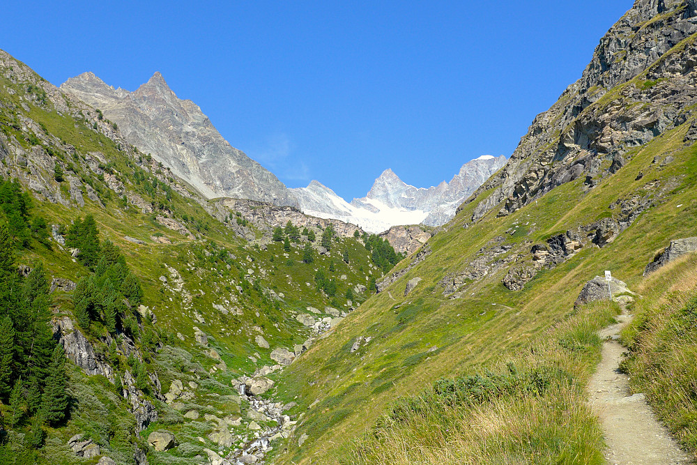
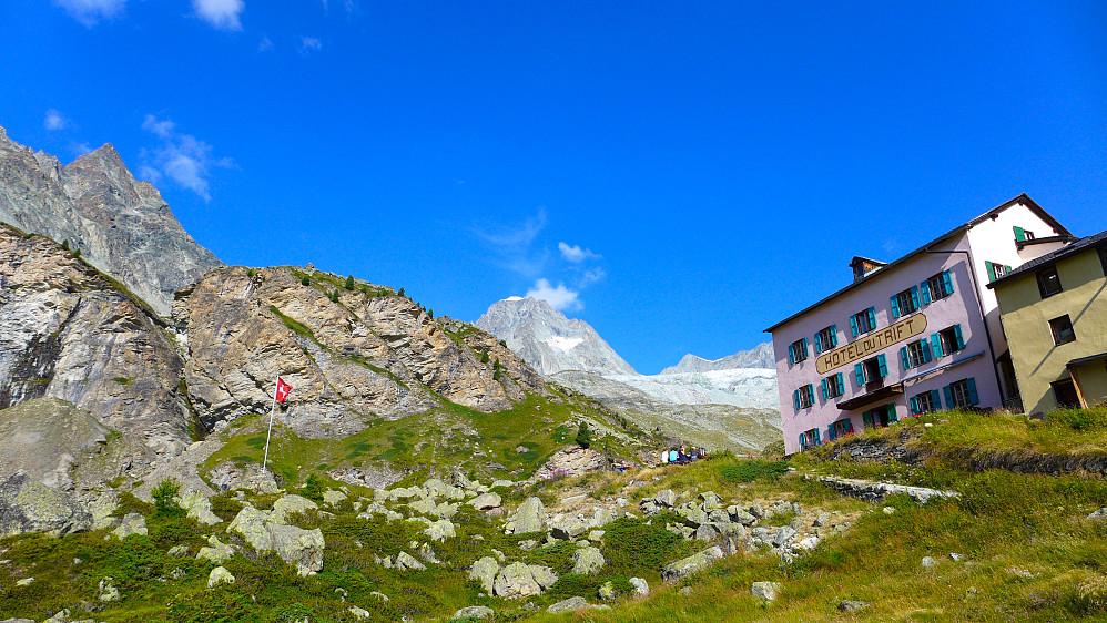
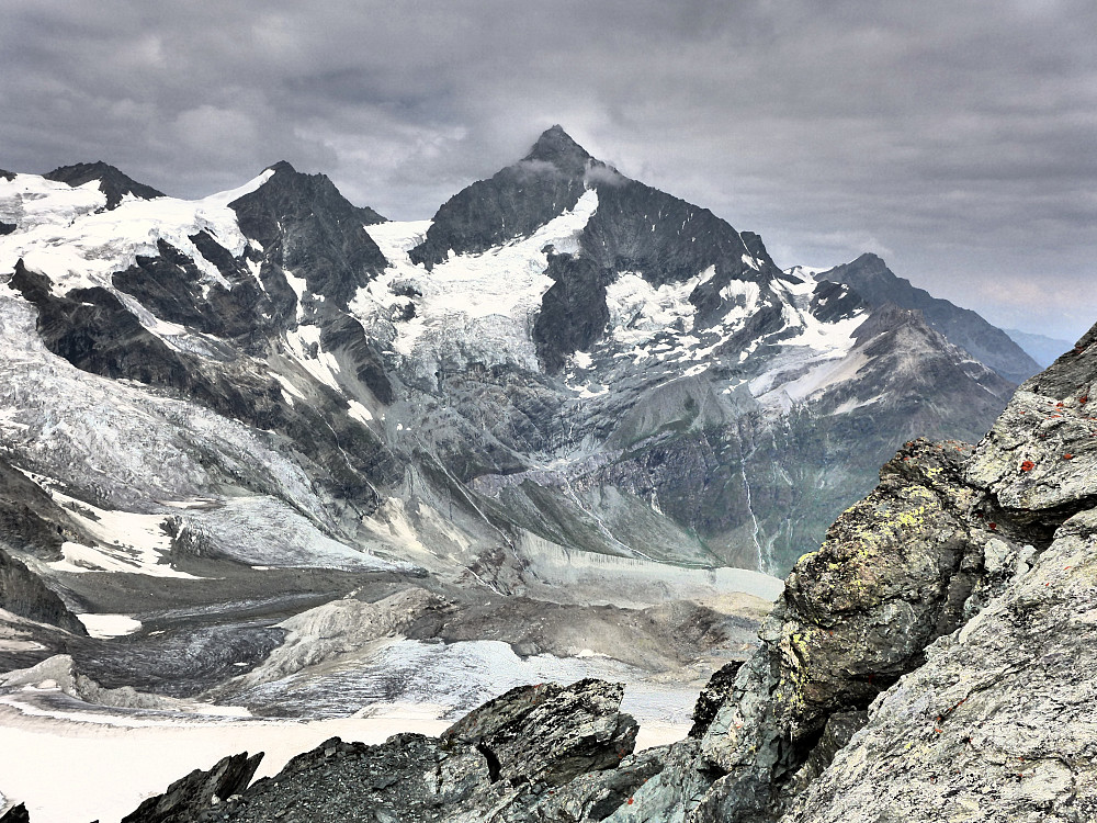
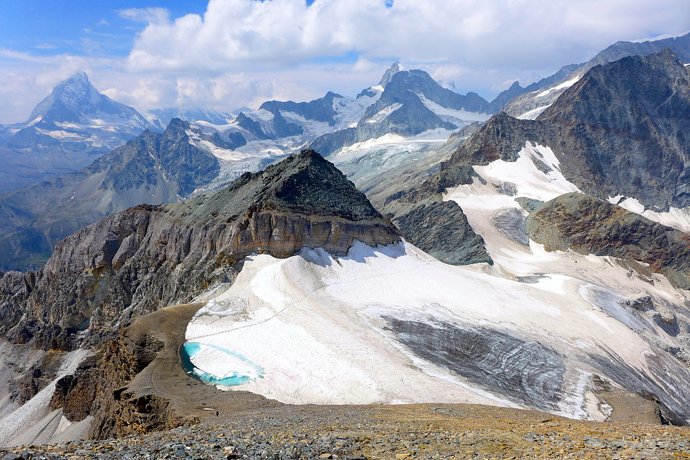
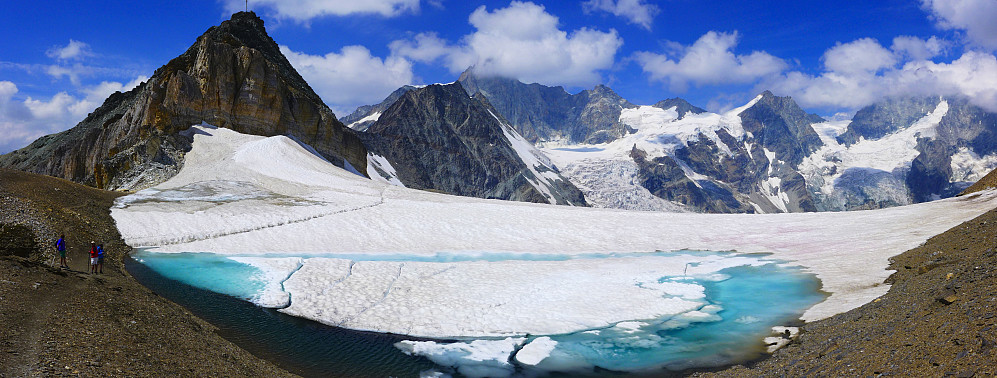
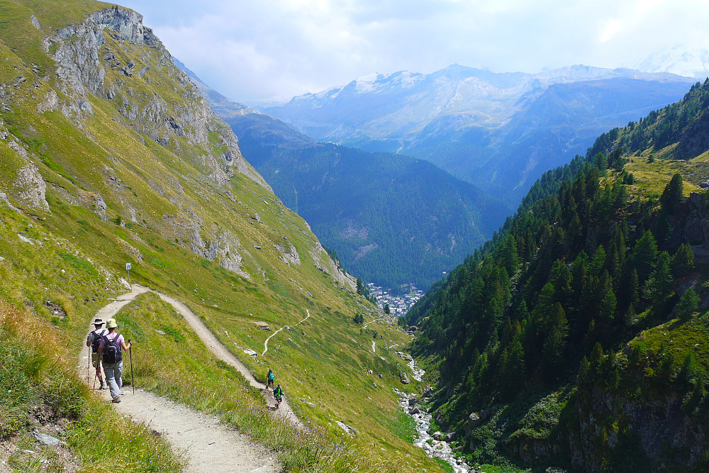
Went for a morning walk up to the Platthorn and Mettelhorn since the weather was forecasted to be pretty cold and wet from the weekend onwards. Left at around 8am from Zermatt and went up one of the side streets on the west side of the main street through the town and looked out for signposts for Trift or the Mettelhorn and basically followed them . Eventually ended up walking up through the forest on a mega nice path and this led up the valley towards the Hotel Trift at nearly 2400m. Not actually that keen on forests most of the time but for once I was quite glad to not be walking directly in the sunshine. Took roughly an hour from Zermatt. From there I kept following the signposts for the Mettelhorn/Platthorn, the path wound its way northwards with terrific views towards the Zinalrothorn and Ober Gabelhorn behind me. After several km I ended up at some sort of col at around 3200m with the Hohlichgletcher and Weisshorn on the other side and the Platthorn and Mettelhorn to the right of me.
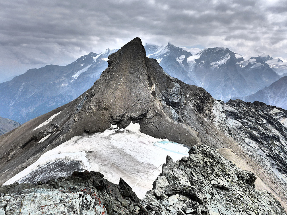
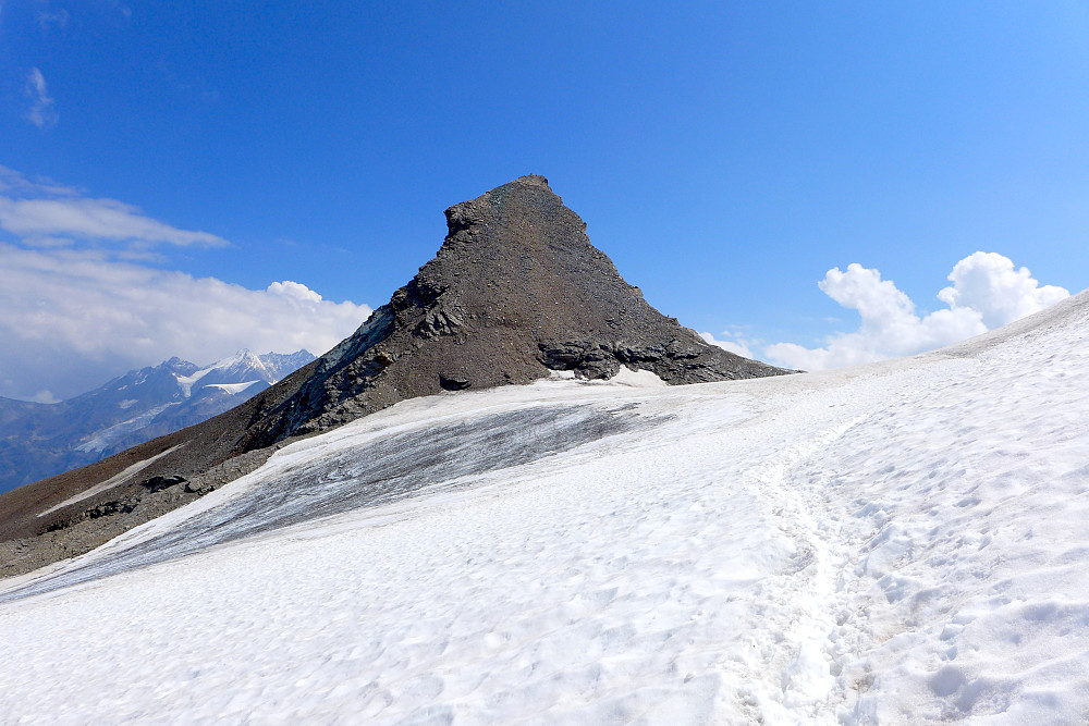
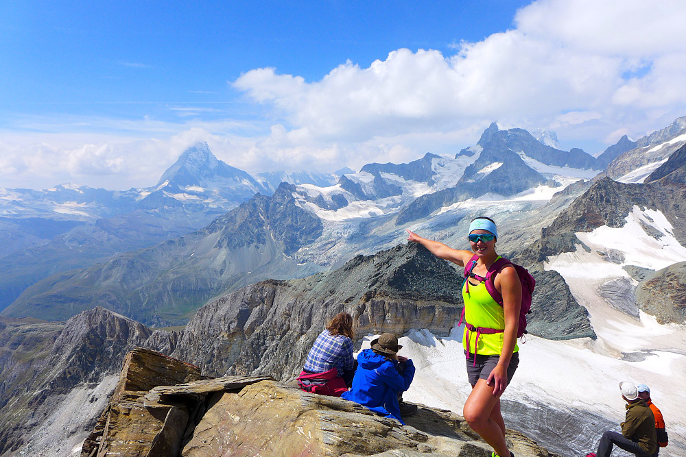
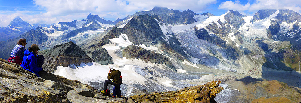
Opted to take a wander up the Platthorn first and arrived at the top just as a family of four were leaving. Used around 2h 45m in a relaxed pace from Zermatt and spent nearly 1/2 hour at the top to enjoy the views even though it was pretty cloudy now. While I was preoccupied with taking the perfect selfie with the Matterhorn in the background the sun decided to make a comeback which I welcomed with open arms. Went back down to the col and followed the trail towards the top of the Mettelhorn. Part of the trail goes across glacial snow, but since there was no sign of anyone else using crampons or using rope I assumed it was quite normal to wander across this short section without too much problem. Passed one or two minor crevasses along the way but that was it. After crossing the snow the nice path continued in a series of zigzags up to the top. Views were pretty much the same as from the top of the Platthorn but now with sunshine and company so I took another 15-min break here :) Jogged down the nice path back to Zermatt and used just over an hour on the descent. All in all, a nice hike with top views, quality path and signposting!





Kommentarer