Andersdaltinden (16.05.2012)


| Start point | Lavangsdalen |
|---|---|
| Endpoint | Lavangsdalen |
| Characteristic | Hike |
| Duration | 5h 30min |
| Vertical meters | 1,100m |
| Map |
|
| Ascents | Andersdaltinden (1,221m) | 16.05.2012 |
|---|
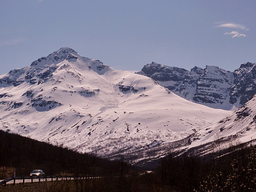
The weather was forecasted to be 12 degrees and sunshine, so I seized the moment and decided to go on a trip instead of going to work! I decided to return to Andersdaltinden, since I had not made the summit on the previous attempt almost 2 weeks earlier because of really strong winds on the mountain. Parked up at about 0915 at the bottom near the information area and began the hike up through the forests. The snow was, as I expected, super soft but seemed quite stable. But it was mega hard work, and many times during the first half hour of the hike I didn't think I would bother going much farther before giving up on the mission! However, I had my mp3 player banging out some great tunes and since there was no hurry to get back I made a point of persevering with the hike and just thought of the hard work as good training for the summer trips instead of being a bad thing!
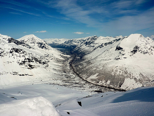
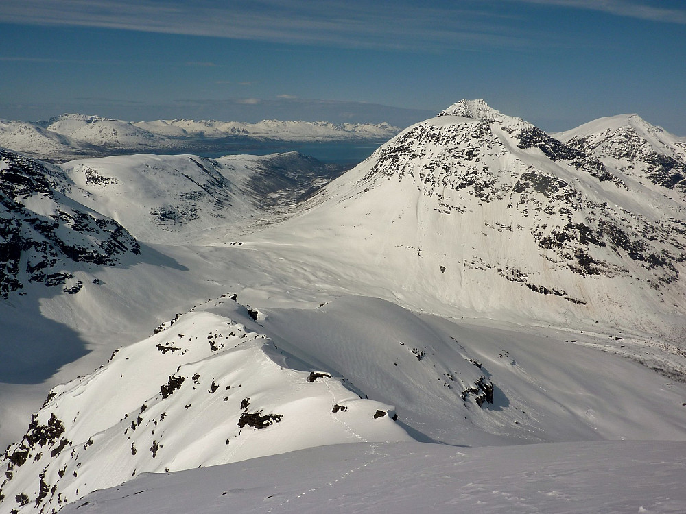
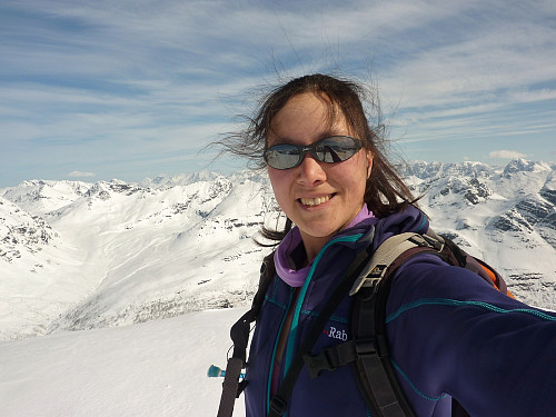
Once I reached the top of the 'lip', the snow seemed to improve and even though it was still a trudge, it was not so deep and for the first time I began to think quite positively about making it to the top, even though this was still a way off.... onward I marched up the slopes toward the north ridge, regretting also that I had forgotten about bringing suncream. The sun was so strong, and I could already feel a sunburn beginning which was not a particularly nice thought. Anyway, just as I reached the ridge looking over Andersdalen I noticed a skier following not too far behind - he was really fast! Now on the ridge the snow was almost-firm to walk on, and I made quite efficient progress toward the col before the final summit ridge where it begins to get a little more tricky.
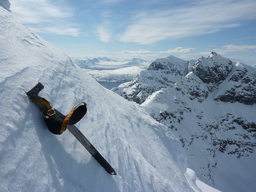
The skier caught up with me somewhere along here and then told me he wasn't going to the top, but just to the col from where he would ski down. So I carried on after I passed him, and things were going mostly quite well until I reached the foot of a crag, maybe about 15-20 metres high. The southern side was quite steep and the snow slopes below showed some signs of recent natural avalanches, so I took the northern traverse around the crag base which was a little unconsolidated in places. I decided to stow the ski poles here and get my ice axe instead to climb the snow slope leading up to the top of the crag.
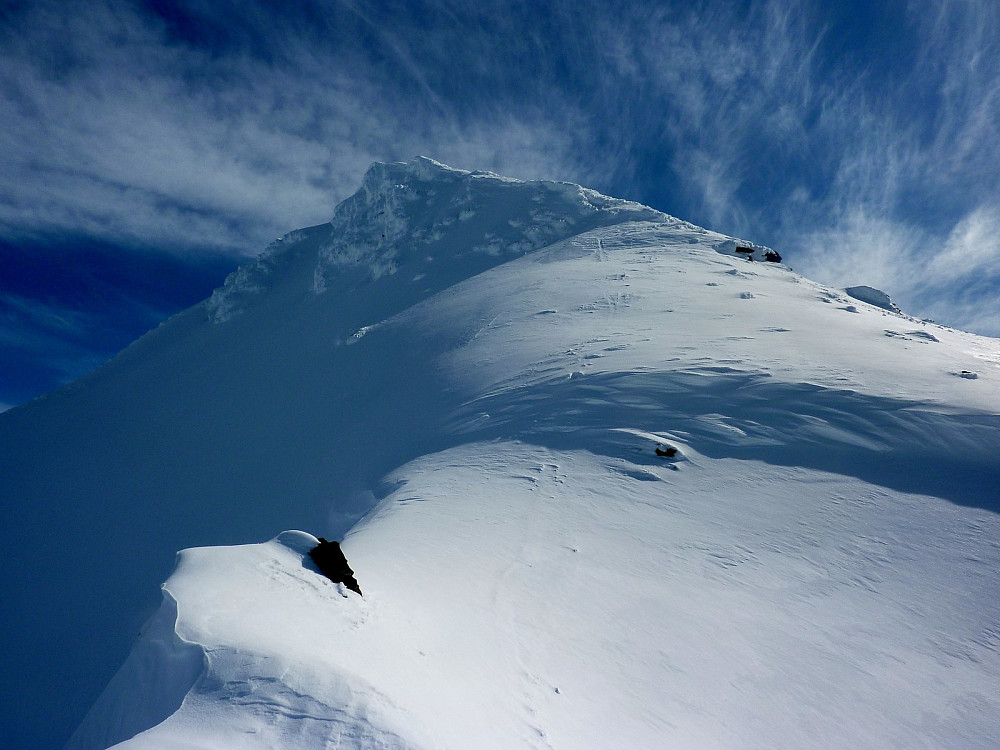
It went mostly OK, but I didn't like that the snow was not so solid to kick decent foot holds into. Once I had mounted the crag however, the terrain was relatively straightforward again, with an elegant but again quite soft snow ridge to traverse. I took a break at the end pof the traverse to weight up my options and put on the crampons. I could see the final summit slopes was steep and could involve some elements of climbing for about 30 metres, and the northern side of the summit had a large cornice. In the end I decided to give it a go and make the decisions as I went; after all, I had come so far and didn't really want to quit going to the summit now! But the snow condition was making me a little nervous in places, so I also made sure not to take unnecessary risks since I was on my own.
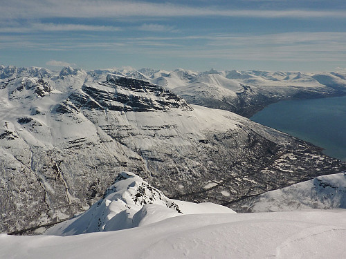
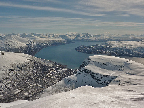
It was a fairly exciting ascent on those slopes, the steepness was at least a Grade I in Scottish winter grades. The snow was questionable still, but stable enough that I wasn't sliding down in the footsteps I kicked into the slope. Then after that the steep stuff gave way to easier gradients, still a little exposed but ground I felt happier on. The views across Balsfjord and looking over the valley toward Snoemannen and Svartnestindan were pretty magnificent! And when I got to the summit, I was the only one there with huge views toward the Lyngen Alps and not a breath of wind in the air. After 3.5 hours of hard work, it had been sooooooo worth the efforts, even if I didn't have any company to share the moment with.
But now I was halfway there, and really had to focus and concentrate on getting down safely, especially on the difficulties which were going to involve some down climbing, without any protection or anchors. Obviously it went well because I am writing this now! In fact the descent, instead of being easier as I thought it should be, turned out to be more unpleasant than the way up because the strong sun had made the snow on the lower slopes much much softer than earlier and I was literally swimming and wading through it to get down. It was not enjoyable and my knees definitely didn't appreciate it. I was pretty glad to reach the road again, happy for such a nice trip but also to not be battling against the snow anymore. My car thermometer registered 15 degrees when I got back in - the warmest day of the year so far, surely??



User comments