Bakaromntinden (22.07.2012)


| Startsted | Bentsjorda |
|---|---|
| Turtype | Fjelltur |
| Turlengde | 5t 00min |
We ended up taking a trip to Bakaromntinden, one of this year's Ti på topp in Tromso as a back-up option to the rather puzzling weather we had at the weekend. yr.no was forecasting us with some nice sunshine from Sunday afternoon to Monday morning, and it seemed like the perfect time to seize the moment and make the most of the potentially dry and bright weather after having had a whole week of grey and wet weather. Sadly, it turned out that yr lied to us. Again. Nope, Sunday afternoon and evening turned out to be a bag of mixed weather, and the ambitious plans to do a trip to Middagstinden and Bentsjordtinden were substantially reduced to just the trip to Bakaromntinden instead, which is basically a satellite peak of Middagstinden on the Malangen peninsula. The big hikes would have to wait for another day when kjempefint utsikt were guaranteed.
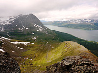
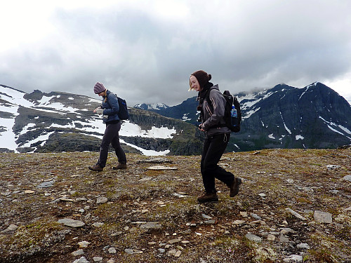
So, I met up with two friends from the FSG, Siv and Jen at midday and we drove the 45 or so minutes to Bentsjorda chapel where we parked up and started the hike. It wasn't raining when we left the car, but it was still pretty overcast. Fingers crossed that there would be some small glimpses of sunshine during the hike. It always makes a big difference to how much I enjoy the day! The initial hike up through the forest was OK, a bit muddy at times and a bit of a sudden wake up call to the leg muscles after sitting down for so many hours in the morning, after waiting for the rain to stop. But it was a good thing in some ways, because we were soon above the treeline and out onto open mountainside, with some fine views of Nordre Bentsjordtinden's north-east facing wall. Very imposing and very impressive. And behind us there were some nice views of Straumsfjorden, with a hurtigruten passing slowly through the fjord. We had a short chocolate-based break before continuing on the well-marked trail leading up Bakaromnen. Ridges are quite fine topographic features.
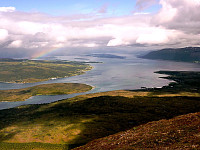
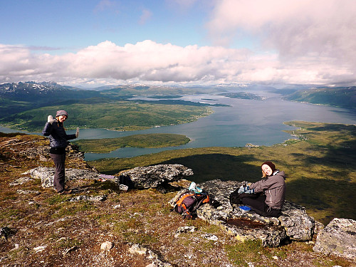
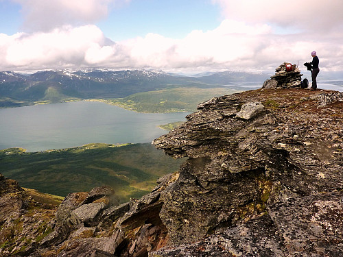
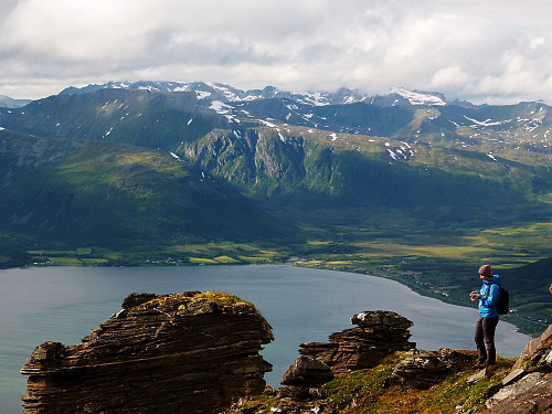
They allow uninterrupted views of the surroundings in pretty much every direction, and can be quite atmospheric, as was the day today when both fluffly and steamy low-level clouds were floating around here and there; to the east/northeast a rainbow strecthed across Balsfjorden, and with Tromsøya behind, it was a very picturesque view of the city. There was nothing particularly exciting about the route until about 700m or more, when the trail passed over a couple of rocky steps, so some scrambling was needed; but since it was only a few moes it was nothing hard. The last 100m or so of height gain to get to the top of Bakaromntinden passed by some really cool rock features - best described as piles of layered gritstone, a bit like some features that are quite characteristic to the hills in the Peak District (UK). They made quite impressive subjects to photo, with the backdrop of Kvaloya and the fjord behind. It did also start to rain at one point as we were just about to gain the summit, but as impeccable timing would have it, the sun somehow bashed it's way out through some gaps in the clouds at the moment both me and Jen met up with Siv at the top, who was at that point changing into some dry layers.
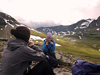
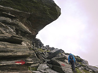
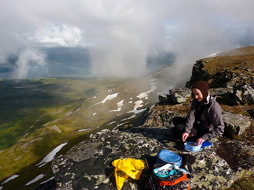
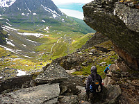
So it turned out to be a perfect time to sit, enjoy the surroundings and have our much-awaited lunch and hot drinks, which our stomachs had been growling about for at least the last 1/2 hour. Looking over the top of the peak to the eastern side, it wasn't possible to see across to the mainland because it was obscured by cloud, and that was a shame. Nevertheless, we had no reason to complain while the sun was shining! After a lengthy break, we decided we'd try and push on towards Middagstinden via the ridge. On the map it looks pretty straightforward, but in reality the ridge was only semi-smooth, punctuated by several outcrops of rock on the way. One of these had caught our attention when we gazed at it from Bakaromntinden, but we were kind of hoping it would be a straightforward scramble....
The descent was the same way we'd come, and it took perhaps only 20 minutes to get back to the top of Bakaromntinden, and from there we continued to use the Ti på Topp route back down Bakaromnen. The rainfall had made the rock quite greasy in places, and where we'd had to scramble a little on the way up now needed a lot more care on the way back down, even if it was only for a short distance. The rain eased off every now and then, allowing some sun to peep through the clouds again. Even if we'd not had as much of a view as we'd anticipated, nor had we done the ambitious double-topptur that had been originally planned, at least the trip had been quite beneficial in that I knew for next time that Middagstinden was probably best accessed via the valley below (south of) Bakaromntinden. The return of the rain on the way down kind of confirmed too that we'd at least snatched the best of the dry weather earlier in the day! All of us were quite happy to have gotten out and had an enjoyable exercise in what was an afternoon of very changeable weather.



Kommentarer