Hamperokken (02.09.2012)


| Bestigninger | Hamperokken (1404moh) | 02.09.2012 11:00 |
|---|
Hamperokken is I think, probably one of the 'classics' to do in Tromsø. For me, this was to be my second ascent of Hamperokken (the first time being on a super-summery day in August 2009). The opportunity to make a return visit came along when my friend TerFlo (Terese Flo) who I'd met on a previous fjellsportgruppa trip said she would join. Initially my plan was to take a hike up Tverrbotnfjellet, another mountain quite close to Hamperokken but on the other side of Lavangsdalen. But since Terese had not been to Hamperokken and neither had I for about 3 years, I suggested we take a trip here instead. On the plus side too, the weather was forecasted to be good for most of the day but rain was edging in from the west, so going further east would at least buy us some extra minutes of dry weather later on in the afternoon......
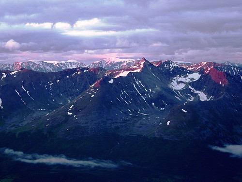
So, the plan was made and we met up together in the car park of Coop Prix in Tromsdalen at 10am on a Sunday morning. The sun was shining like a jewel in an azure-blue sky and it seemed like we couldn't have asked for a better day to tackle a very fine hike. About 20 minutes drive later, I had pulled into the layby at the foot of the mountain and according to the map there was a path leading up through the forest from this little spot, so we made a good effort to hunt this path down. Fortunately we found something that resembled quite well what I expected a path or forest trail to look like, so we pretty much followed this in the belief that we would be having quite an easy time getting up and out through the several hundred metres high forest that lay ahead of us.
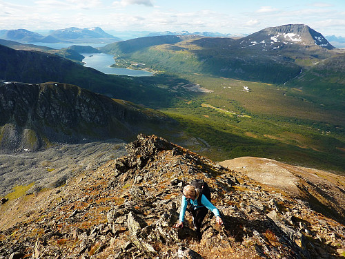
Sadly the dream path did in fact turn out too good to be true and upon reaching a small clearing, the path also promptly cleared away too. So we didn't really have much other choice other than to forge our own way up through the bushes, trees and whatever else lay between us and the stony ground higher up the mountain. For me, it wasn't the worst experience ever. I half expected this kind of start after having now taken so many hikes which have all started very much identically with the battle of me-against-the-trees. But Terese was only wearing some low-ankle shoes and running tights, so I felt a bit sorry that it wasn't the most ideal combination for tackling the bushes! At least with someone to talk to, this part of the route went by relatively quickly and quite soon we were under the hot sunshine again with some very autumnal views of Ramfjord behind us. Its amazing how quickly the colours have gone from green and 'summery' to more orange and autumnal. It felt good to be out again, now my third consecutive hike in the last three days and making the most of the fine dry weather with the knowledge that the next seven to ten days were forecasted to be rainy - moments like this have to be snatched!
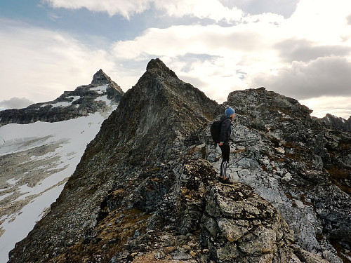
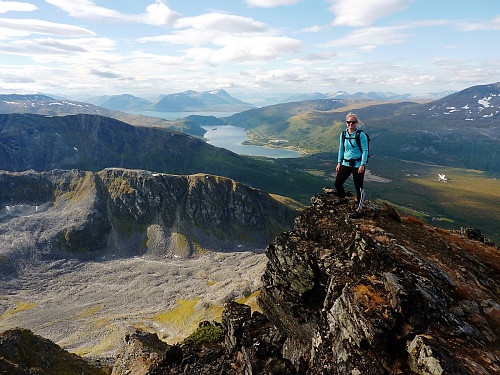
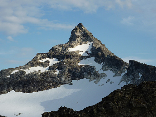
After having a quick break to remove various pieces of clothing and marvel about what lie ahead, we continued on our way up the ever-so-slightly tedious slope to the Middags-aksla. It was pleasant terrain to walk on though, and we knew also that most of the height was gained on this part of the mountain - the less exciting part. It took around 2 to 2.5 hours of hiking until we reached the start of the ridge, and by this time we had already taken a short stop for some lunch behind a rock. Already the wind speed was starting to pick up and it felt more sheltered here than to stop on the ridge. The forecast was for 10 m/s winds from the south by the afternoon, so we didn't really want to be dragging our feet too much! Upon reaching the start of the ridge though, the objective was laid before us, and for a minute both Terese and I stopped talking. The view of Hamperokken and the ridge from this point is quite a thrill. It is magnificent and so very impressive especially to the average hiker. I sort of knew what was coming, but even after having already seen and done this hike before in very nice weather too, Hamperokken had not lost any of it's charm and I was still extremely glad to be out on such a great peak once again.
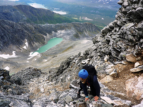
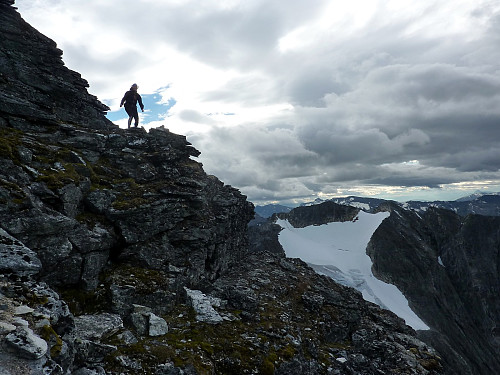
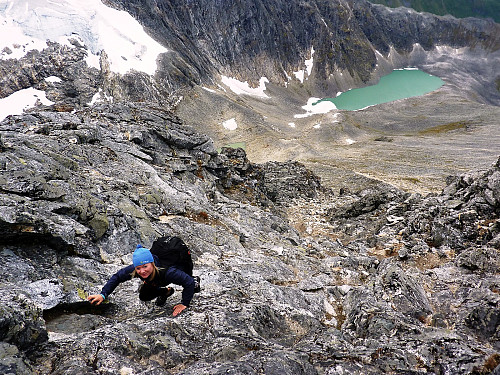
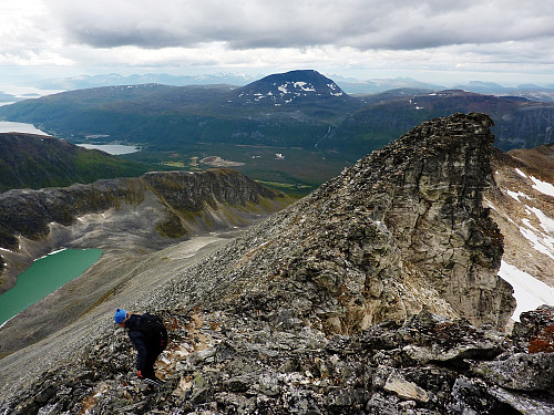
To the west were some very elegant ridges, each descending down to Ramfjord parallel to each other. The nearest was that of Rundfjellet and behind it was Fagerfjellet, neither of which I have hiked on either. But they gave the Hamperokken ridge quite scenic surroundings to look out over. Back to the ridge itself, and we were having masses of fun, not only having to use both hands and feet to negotiate some of the obstacles, but also in the task of finding the best way up and over them. That's what makes a route great. Those which keep you interested and concentrating all the time. It's definitely not a hike where you end of resorting to putting on your mp3/ipod player in an effort to motivate you to keep going. Nope. The motivation on Hamperokken is the prized summit itself, which remains the focal point at the far end of the very fine ridge. It is in fact only a little more than 1km between the start of the ridge and the summit, so it is not super-long. But it took some time to clamber around some of the boulders, and at times worked better to follow the crest of the ridge itself to get on better quality rock which hadn't shattered into annoying loose stones. It was getting very windy now though, but not so windy that we were clinging to the rock for dear life. So in my mind, if we were actually able to stand, then there was no reason not to continue.
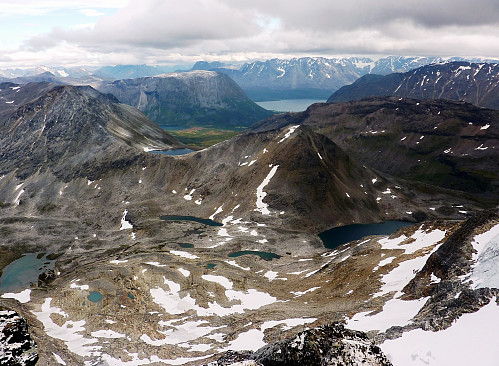
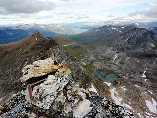
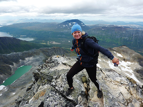
The final traverse across and up the summit 'pyramid' was at times, a little airy and a great pleasure to be doing and at other times just plain steep and on loose stones again. The scrambling was never really that difficult, but it did require some thought; my main dislike were indeed the loose rocks, which had the habit of appearing only on the step sections where they were more likely to be dislodged by hikers. Both Terese and me were staying some distance from each other, and sometimes taking the opposite sides of the final slope to the top, so we managed to both avoid the centre and therefore the risk of knocking stones onto each other. Sadly, the clouds had rolled in very quickly from the south now and we'd not noticed that our jaw-dropping summit panorama had been slowly been enveloped by the thick and billowing clouds. Finally though, we did it. We were both standing quite triumphantly on the top of Hamperokken, with uninterrupted views out towards Lyngen despite some fog on the highest tops. Now it was just the summit cairn, Terese and me, and a lot of wind - with emphasis on the 'a lot' bit! It should have been such a great place to sit and gaze at the views and take in the sense of satisfaction but unfortunately not today. We'd had our luck with the dry weather, but now it was becoming a small race against time to get back down and off the mountain before the much wetter weather threw itself on us.
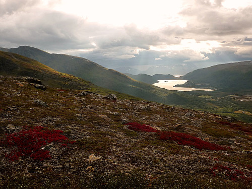
After signing the trip book, we took some care getting back down the upper section of the summit slopes, and back across the ridge again. Somehow, the way we took back differed somewhat from the way we'd taken on the up-leg of the route, and perhaps it was because we were both starting to feel a bit wind-swept and sleepy - but the way back along the ridge felt a lot more complicated and taxing than the way up! It seemed like one obstacle after another that were forcing us back up and down, but eventually we were back at the start of the ridge again and able to take a deep sigh of relief, in the knowledge that the way down from here was the easiest and pretty straightforward. And even if it did start to rain between here and the road, it was never going to be a huge crisis. Out in the west, where we had been able to see Bentsjordtinden on Malangen earlier in the day was now very well hidden behind masses of rain cloud, but that hadn't quite crept up on us yet. It actually gave our part of the mountain a real autumnal, evening glow, which illuminated the red, orange and pink flowers quite intensely. Everything on the ground just had such deep and rich colours, it was awesome to stop and take a closer look! Anyway, with a bit more dithering around and a bit more battling with the forest, we were once again reunited with my car, about 7 hours after leaving it behind. Our conversation towards the end of the forest had started to turn towards the topic of food, so both of us were now feeling very hungry too! But the most satisfying thing of all? That had to be the fact that just as we had started driving back down the road towards Fagernes, the rain started falling in quite appreciable quantities, and we were able to feel very smug that we'd got back in the nick of time to miss a single drop the whole day!



Kommentarer
Hamperokken
Skrevet av 500fjell 07.09.2012 13:33Thanks alot for tour report and very good pictures! Hope to visit this mountain during this year, maybe as a winter climb with crampons and ice axe.. The scrambling was not too difficult?
Re: Hamperokken
Skrevet av hmsv1 07.09.2012 14:19Thanks - and yes, you must go! We talked about how it might be like to climb in winter, and I would be interested (and quite excited) to go back as well if the snow is fairly solid :-) The scrambling was fun, and not hard! Maybe it would actually be better under snow when the loose stones/rocks are frozen together.