Archive - Date
Archive - Activity
-
Climbing (43)
- Alpine climbing (31)
- Ice climbing (3)
- Mixed climbing (1)
- Sport climbing (3)
- Via ferrata (1)
-
Other trip (5)
- Expedition (5)
-
Other winter trip (5)
- Snowshoe trip (5)
-
Ski trip (449)
- Backcountry skiing (4)
- Cross-country skiing (2)
- Randonnée/Telemark (441)
-
Trip by foot (507)
- Alpine trip (47)
- Hike (196)
- Hillwalk (205)
- Jogging (4)
- Walk (55)
Peakbook-Friends


Helvellyn + more
- Date:
- 02.09.2017
- Characteristic:
- Hillwalk
- Distance:
- 16.7km
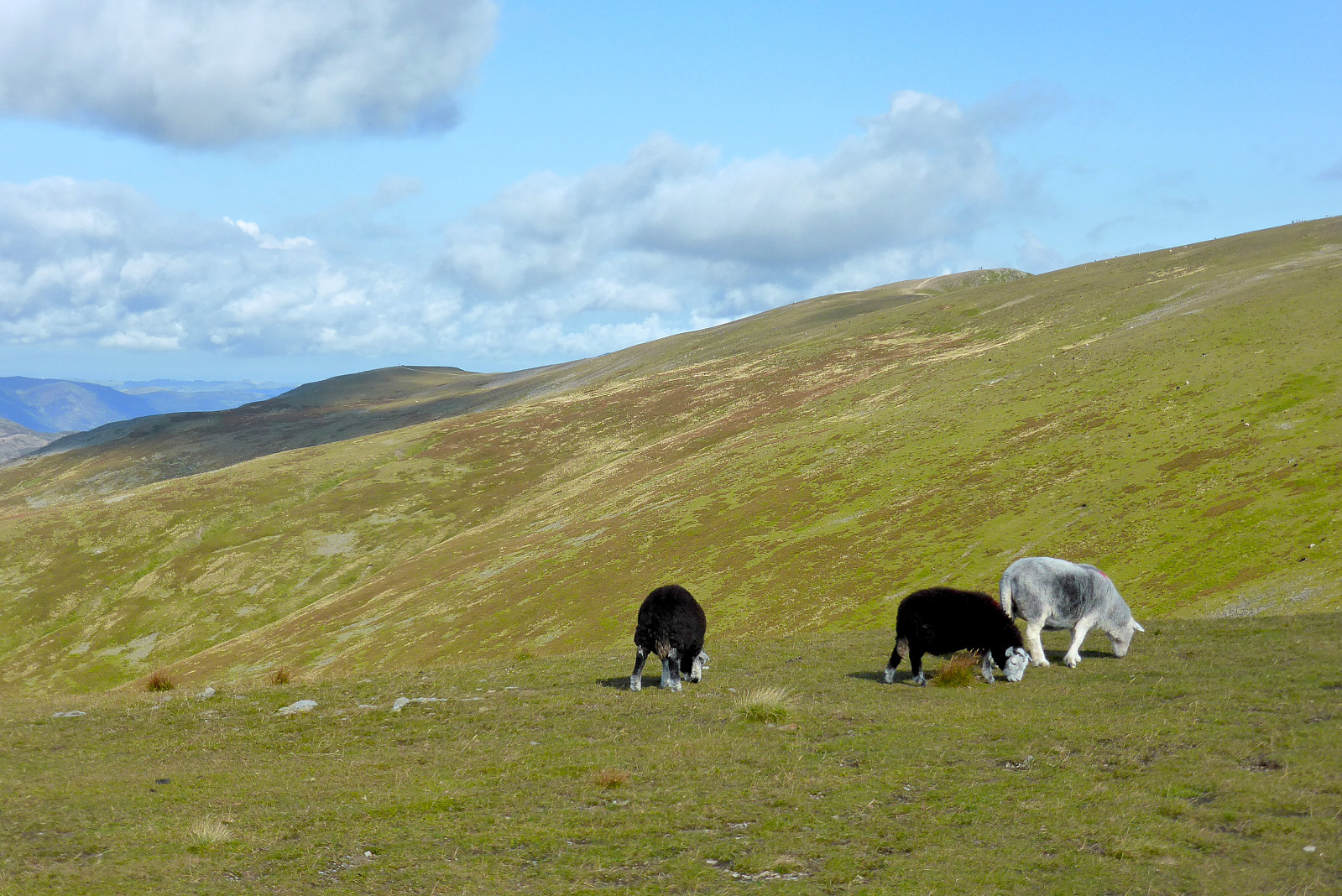 En fin morgentur mens jeg var på en kjapp helgetur til Storbritannia for å flykte fra gråværet i Tromsø. Massevis av gode turstier, sommervær og mange glade mennesker (og sauer) i fjellet. Herlig!

