Presidential traverse (04.10.2014)

| Bestigninger | Mount Franklin (1524moh) | 04.10.2014 |
|---|---|---|
| Mount Jefferson (1741moh) | 04.10.2014 | |
| Mount Madison (1636moh) | 04.10.2014 | |
| Mount Monroe (1637moh) | 04.10.2014 | |
| Mount Washington (1917moh) | 04.10.2014 |
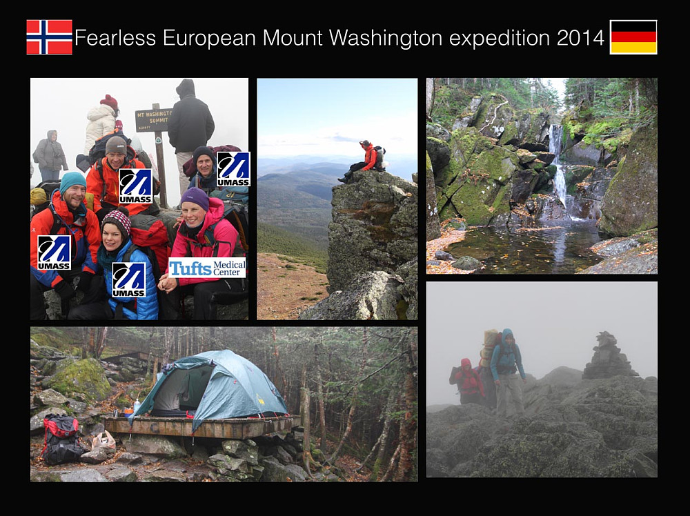
The Presidential Traverse is considered the proudest mountain ridge in New England. The 7 most most prominent peaks on the ridge are named after the american presidents (from north to south) Madison, Adams, Jefferson, Washington, Monroe, Franklin og Eisenhower. Taken together. the trip is ca 20 miles long and 9000 vertical feet (ca 3000 vertical metres). We were two norwegians (me and the Wife), one 50:50 norway:sweden (Pontus), and two germans (Anette & Roland) that decided to do this trip as a two-day adventure this weekend. In my silent mind I was dreaming of how enormously long the ascent-list could get from such a two-day-adventure.
After weeks of comittee meetings and planning, we were finally at the trailhead at the north end of the ridge 11:30am saturday. The drive up had given us very nice views of the ridge, but also some hints that autumn is indeed on the way. This area has the worst weather in the US (some times even worse than on the north pole), or even perhaps the whole world. And the forecast for saturday was borderline.
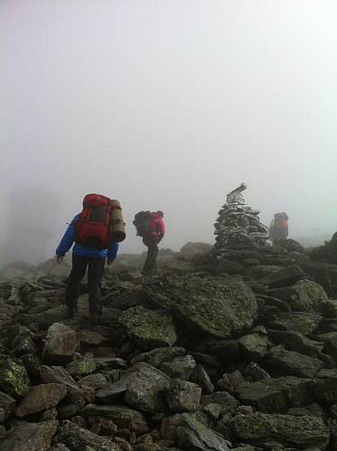
It took quite some time to get above the three-line. When we came into the alpine zone we were met by thick fog and rapid winds. The other comittee leader suggested that we took a direct line, omitting Mt. Madison, but I pushed through that we should go to Mount Madison. If we should start skipping presidents from the start, I worried that my peakbook ascent-list would be a depressive sight.
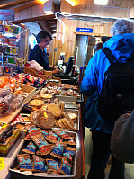
But ascending Mt. Madison in thick fog I soon got other things to think about: we were behind schedule. Seeking shelter and muffins at the Madison hut (kind regards to the employees that let us in even though they were packing down) at 4pm, we saw that we would have no chance reaching our goal to get past Mt. Jefferson today. The worst winds in the world were howling outside.
Back out in the big gray sack of fog we passed Mt. Adams without ascending, and started the descent to a shelter at the Nowell Ridge. The winds were now so hard that it some times threw us off our feet.
At the shelter we immediatly put up our tents for some heating and drying. #denfølelsen that all the fresh underwear was wet. The tent-sleepover was a humid experience. But my #bli-ny camping experience with new air mattress and sleeping bag was exellent. <3<3<3 Air mattress. Styroform kinda stops being comfortable when you pass 50 kg.
In the dark of night some of the Canadian campers next door emptied a whiskey-bottle, and subsequently started emptying themselves. Seldom has the expression "shouting for the moose" been more descriptive. I can hardly imagine a worse place to have a hangover.
The next day we woke up in the same cloud that we fell asleep. Spirits were low, but got lifted by some coffee and oatmeal porridge. The Canadians were impressively jolly, and even showed us the result of the nights vocal exercises.
We started walking around 10am. After an hour we were back on the ridge. Even though it was still foggy, it was dryer than the day before. I therefore forced through a solo-push to Mount Jefferson. Traveling alpine style I felt like Uli Steck on Anapurna when I jumped over the rocky landscape. On the top I only saw more rock, and a guy in jeans that was walking around without any obvious means. Back down we started the long ascent to New Hampshire's pride, Mount Washington.It was a long walk in a frosty and foggy landscape. Suddenly we smelled diesel, and the Mt. Washington tourist train passed us up the long hill. Then the fog suddenly lifted, and we were 50 metres from the Mt. Washington summit tourist station. We arrived at the summit ca 13:45.
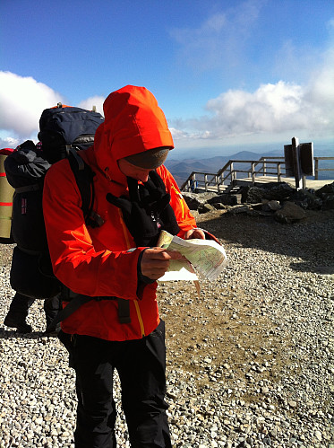
The first person we saw on the summit was a indian (person from india) woman in a chiffon skirt posing for the camera. Then we spotted a long line of tourists waiting to take a picture by the official sign.Luckily for us, the sign had writing on both sides. Feeling pretty smart, we bypassed the line and took our summit photo on the other side. The cafee was packed, and the atmosphere was all but alpine. Seemingly, Indians like to visit peaks that are accessible by some easy means of transportation. The place was packed by indians (still persons from India, not native americans). Now the weather cleared up and we got a fantastic view over the White Mountains.
But we still had a long way to go. Our second car was parked at the AAC hut at Crawford Notch, and even though we did not have a chance to take all the peaks, someone had to get the car.
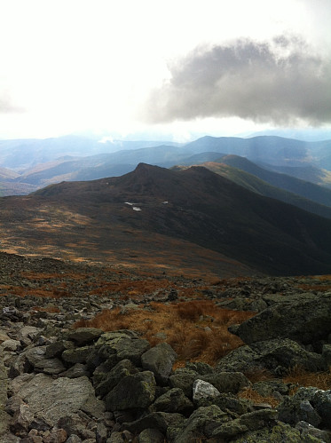
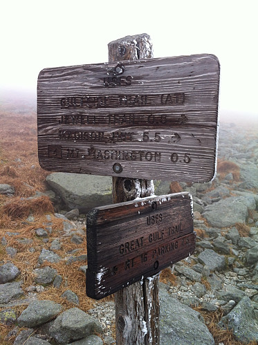
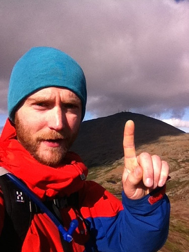
We followed a nice track down to the Lake of the Clouds-hut, and the male part of the expedition bagged the most beautiful peak on the traverse, Mount Monroe. Then we made rapid progress to the Edmans Path, where we descended. I ran ahead and picked up the car (at the parking 18:45). I picked up a pretty tired party at the trailhead.
This trip was a bit harder than anticipated, and the weather is partly to blame. Many run this as a long day-trip (ultra-ish). Doing the whole trip as a two-day is absolutely doable, but depends on conditions and experience. A caveate is that camping is regulated, and camp-sites are typically at the ends of the traverse (and not in the middle as would be practical for a two-day). For us it was a bit of a stretch. Fumbling around in the fog is also considered boring by some, but also added to the adventure (some might disagree). I agree that getting sun the last day lifted the experience significantly.
This is perhaps one of the only mountains in New Hampshire that is really worth hiking!



Kommentarer