Archiv - Nach Datum
Archiv - Nach Aktivität
-
Andere Tour (3)
- Kayaking (3)
-
Fahrradtour (108)
- Fahrradtour Straße (83)
- Fahrradtour gemischt (25)
-
Fahrzeugtour (9)
- Autotour (9)
-
Fußtour (1782)
- Bergtour (1054)
- Jogging (1)
- Spaziergang (54)
- Wanderung (673)
-
Skitour (109)
- Langlauf (44)
- Tourenskilauf (65)
Gesammelte Listen
-
Voss ≥ 100m pf.
(96/98)
 97%
97% -
Opptur Hordaland
(143/159)
89%
-
Stasjoner på Bergensbanen
(31/40)
77%
-
Ulvik ≥ 100m pf.
(28/38)
73%
-
Hordaland ≥ 100m pf.
(613/863)
71%
-
Mjølfjell PF > 100m
(21/31)
67%
-
Jondal ≥ 100m pf.
(15/23)
65%
-
Sunnhordland PF >= 100m
(104/186)
55%
-
Dagsturhyttene i Vestland
(33/61)
54%
-
Hordaland: Hardanger PF>=100m
(186/359)
51%
-
Kvinnherad ≥ 100m pf.
(40/79)
50%
-
DNT-hytter i Hordaland
(22/45)
48%
-
Sogndal ≥ 100m pf.
(23/81)
28%
-
Vik i Sogn ≥ 100m pf.
(8/46)
17%
-
DNT-hytter i Sogn og Fjordane
(8/47)
17%
-
Eidfjord ≥ 100m pf.
(7/42)
16%
-
Etne ≥ 100m pf.
(7/51)
13%
-
Ullensvang ≥ 100m pf.
(21/153)
13%
-
Sogn - Sør for Sognefjorden PF>=100m
(17/159)
10%
-
Opptur i Sogn og Fjordane peaks
(17/177)
9%

Loddo and Adlesi
- Datum:
- 17.06.2023
- Tourcharakter:
- Bergtour
- Tourlänge:
- 0:46h
- Entfernung:
- 2,4km
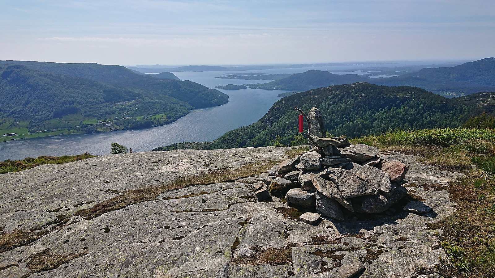
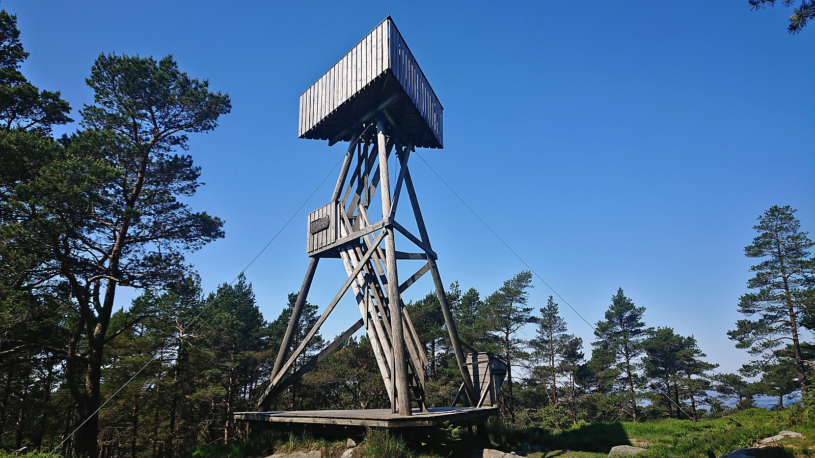 After leaving my bike when the trail forked for the final time south of the summit , I continued the rest of the way on foot, making sure to include a minor detour for a short visit of Adlesi . At the summit I climbed the wooden lookout tower to obtain better views before returning via the orange trail back to my bike and continuing my exploration of Austevoll .
Across Hellen festning
- Datum:
- 15.06.2023
- Tourcharakter:
- Wanderung
- Tourlänge:
- 0:45h
- Entfernung:
- 3,7km
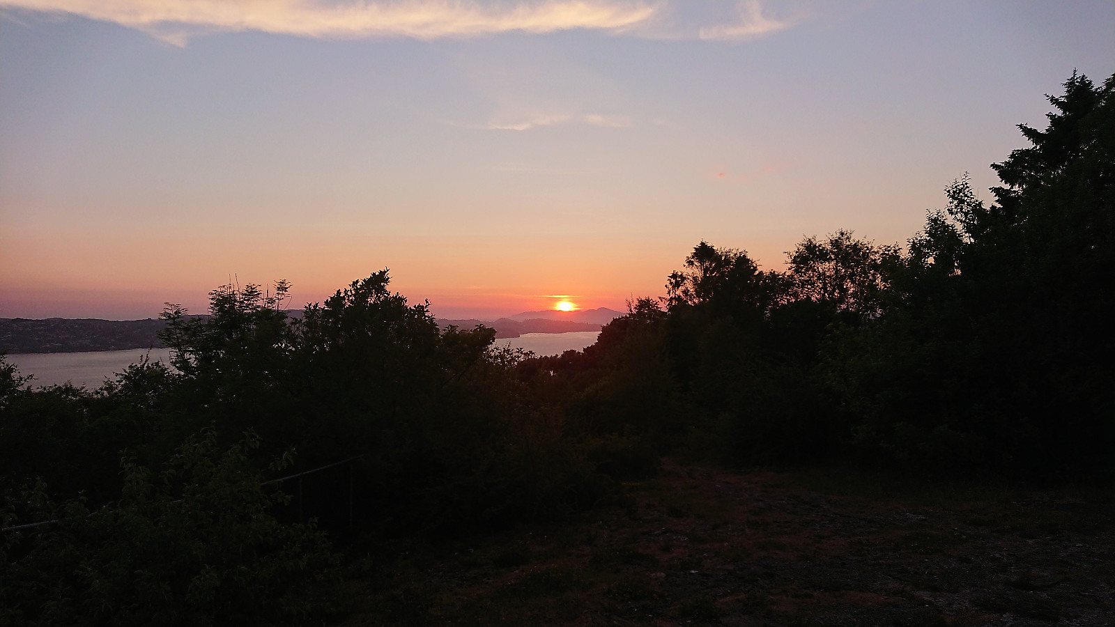 Short late evening hike after spending all of the excellent warm summer day inside an even warmer meeting room...
Gullfjellet via Ronamanen
- Datum:
- 13.06.2023
- Tourcharakter:
- Bergtour
- Tourlänge:
- 5:50h
- Entfernung:
- 13,8km
 Hike to Gullfjellet with two colleagues after work. We ascended via Ronamanen and descended via Tjørndalen. An excellent roundtrip that can be very highly recommended!
Hellemyrstien
- Datum:
- 11.06.2023
- Tourcharakter:
- Wanderung
- Tourlänge:
- 1:19h
- Entfernung:
- 6,5km
 Short local Sunday hike after spending all of Saturday cycling and hiking in Masfjorden.
Litlefjellet
- Datum:
- 10.06.2023
- Tourcharakter:
- Bergtour
- Tourlänge:
- 1:33h
- Entfernung:
- 3,6km
 I left my bike just north of the crossroads north of Storevatnet and followed the tractor road north and then south until it came to an end. Here there was a marked trail taking me all the way to the summit of Litlefjellet , or rather to the cairn 60 meters west of the summit . Excellent views from the cairn, especially down to Andvika. On my way to the summit I also made a quick visit of the third small hill just to the north. After a late lunch break, I descended along the same route. In summary, an excellent short hike with great views that can be very highly recommend.
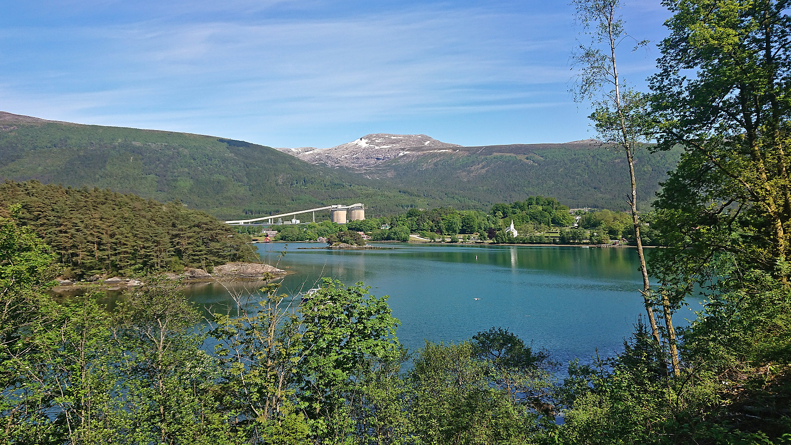
Skjeggedalsfjellet via Skjeggedalen
- Datum:
- 10.06.2023
- Tourcharakter:
- Bergtour
- Tourlänge:
- 3:01h
- Entfernung:
- 5,6km
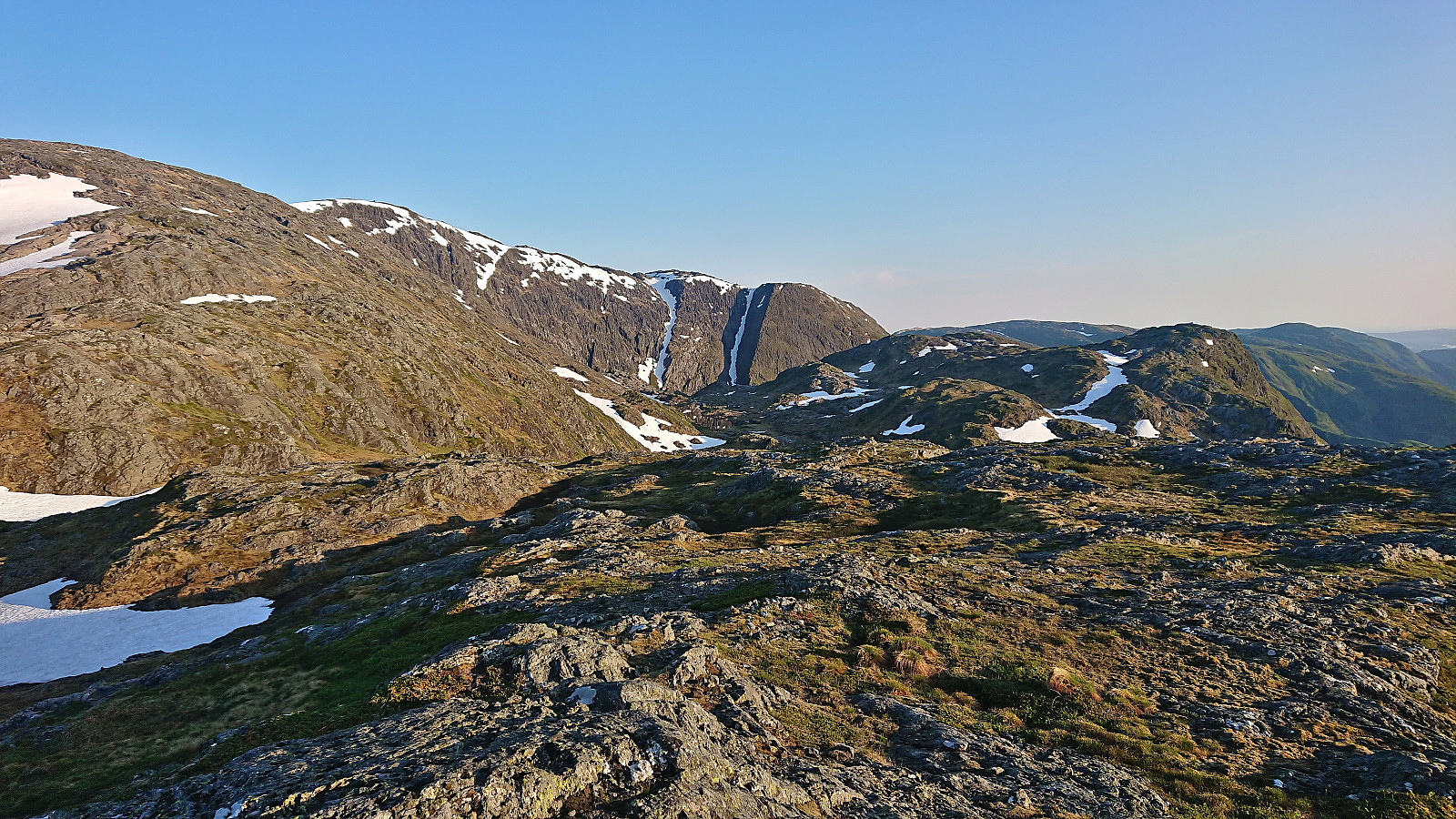
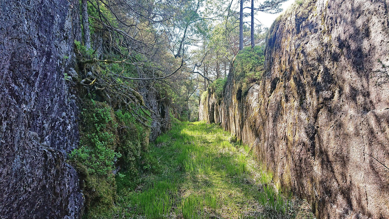 After cycling from Masfjordnes to Lund , I left the bike behind and continued southeast along the tractor road up to the final house at Skjeggedalen. While the farm houses at Lund where all in a sorry state, the large building in Skjeggedalen seemed to be in good condition. Before the hike I had read Kjell51 (Kjell Øijorden) 's trip report where he mentions a possible trail from Skjeggedalen to Skeidalssetra (although he also mentioned that he saw little traces of it himself).
No signs or trail markers from Skjeggedalen as far as I could tell, hence I simply start off-trail in the direction of the summit. Here I found what looked like weak traces of a trail but concluded that they were most likely just deer tracks. I was therefore rather surprised when suddenly coming across a relatively new red trail marker! The trail was still very weak but soon there were >>>
After cycling from Masfjordnes to Lund , I left the bike behind and continued southeast along the tractor road up to the final house at Skjeggedalen. While the farm houses at Lund where all in a sorry state, the large building in Skjeggedalen seemed to be in good condition. Before the hike I had read Kjell51 (Kjell Øijorden) 's trip report where he mentions a possible trail from Skjeggedalen to Skeidalssetra (although he also mentioned that he saw little traces of it himself).
No signs or trail markers from Skjeggedalen as far as I could tell, hence I simply start off-trail in the direction of the summit. Here I found what looked like weak traces of a trail but concluded that they were most likely just deer tracks. I was therefore rather surprised when suddenly coming across a relatively new red trail marker! The trail was still very weak but soon there were >>>
Across Hellen festning
- Datum:
- 09.06.2023
- Tourcharakter:
- Wanderung
- Tourlänge:
- 0:34h
- Entfernung:
- 3,1km
 Short local evening hike.
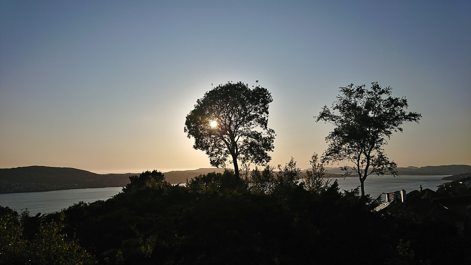
Ørneberget and Furukammen
- Datum:
- 08.06.2023
- Tourcharakter:
- Bergtour
- Tourlänge:
- 0:50h
- Entfernung:
- 3,9km
 Short local evening hike.
Across Hellen festning
- Datum:
- 06.06.2023
- Tourcharakter:
- Wanderung
- Tourlänge:
- 0:41h
- Entfernung:
- 3,6km
 Short local evening hike.
Bogsnesåsen
- Datum:
- 04.06.2023
- Tourcharakter:
- Bergtour
- Tourlänge:
- 0:41h
- Entfernung:
- 3,1km
 After the visit of Kaldestadåsen , we had initially hoped to also have the time for a visit of Vikefjell , but in order to not take any chances with the ferry, we decided to instead just had straight for Bogsnesåsen . We parked at the small parking lot just southeast of the summit and briefly walked west along the paved road before following a gravel road to the unmarked trailhead. The trail was also unmarked but easy to follow and it did not take long before we arrived at a rather uninteresting summit with very limited views. Hence we did not stay long before descending.
Shortly after, we concluded that an earlier ferry from Årsnes, which had been considered at the start of the ascent, would not be possible after all. At the first opportunity we therefore turned north to extend the hike and explore the area further. (Note that >>>
After the visit of Kaldestadåsen , we had initially hoped to also have the time for a visit of Vikefjell , but in order to not take any chances with the ferry, we decided to instead just had straight for Bogsnesåsen . We parked at the small parking lot just southeast of the summit and briefly walked west along the paved road before following a gravel road to the unmarked trailhead. The trail was also unmarked but easy to follow and it did not take long before we arrived at a rather uninteresting summit with very limited views. Hence we did not stay long before descending.
Shortly after, we concluded that an earlier ferry from Årsnes, which had been considered at the start of the ascent, would not be possible after all. At the first opportunity we therefore turned north to extend the hike and explore the area further. (Note that >>>
