Rakeltinden (16.09.2013)


| Besteigungen | Rakeltinden (1.400m) | 16.09.2013 |
|---|
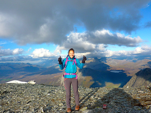
After a whole morning of not being able to sit in the office and be work-focused, I decided I would make the most of the amazing autumn/late summer weather and go for a walk up Rakeltinden. I didn’t have a lot of reasons for choosing the mountain before the trip, other than that I had not already been there and I also found out it was well-marked with a nice route discription on godtur.no. And since I was still ’testing’ out my knees without any knee supports, I thought a not-too-steep trip would not be the worst idea ever. Unfortunately it took forever to get to the mountain because of the ongoing roadworks in Lavangsdalen. Despite all the hold-ups though, I was parked up in Markenes and ready to get going at around 1.30pm in 18-degree sunshine and a comfortable breeze.
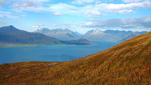
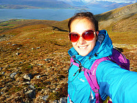
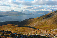
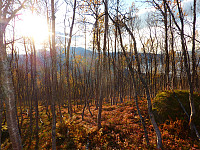
The trip started with a broad track through the forest before the path went off to the left by the side of some caravans. It was more or less standard forest-path quality, and fortunately not too muddy apart from when I had to cross some myrområde. At the same time the path disappeared and I decided it would be straightforward to just go straight up until I got out of the trees. The plan worked to some degree and I successfully met an obvious red-marked trail later on above the forest. From the treeline the path went very gently up Markenesaksla for some while. Even though it was a bit boring the views behind me towards Balsfjord were quite nice.

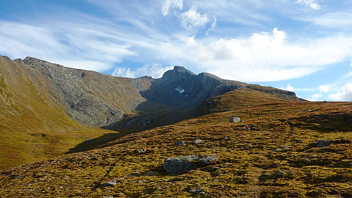
Pity there was an incredibly strong wind the whole way up though, it meant that standing around was not all that comfortable without a couple of jackets on. I met one man who was on his way down, he seemed very friendly and was apparently surprised to see someone starting on the trip so late in the day. Late?? Really? It wasn’t even 3pm when we met. Well anyway, he was concerned that I should stick to the trail and keep right of the ridge, so I made a note of his advice and did that. The red-markings were pretty nicely-distributed so it was quite easy to stay on the intended route.
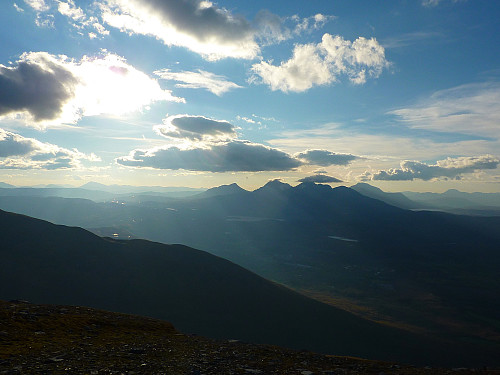
After some 2 hours from leaving the car I reached a little notch in the ridge and from thereon the route more or less followed the ridge all the way to the top. Up until then I’d been listening quite contently to some music to keep me company, but there came a point where I thought I heard some unusual boom which was not very music-like, even if it was pop-music. After unplugging my earphones I realised that now I had the sound of thunder to keep me company too. I wasn’t so keen on that…… Seemed like it was probably coming from the big fluffy clouds lingering to the south so I decided it would be OK to carry on for a bit and not get too concerned.
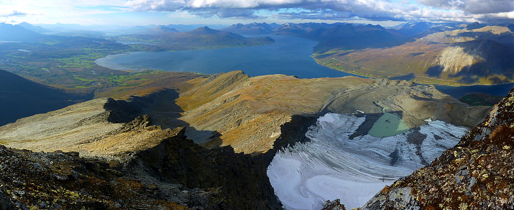
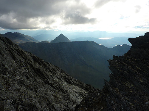
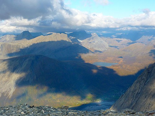
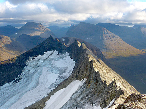
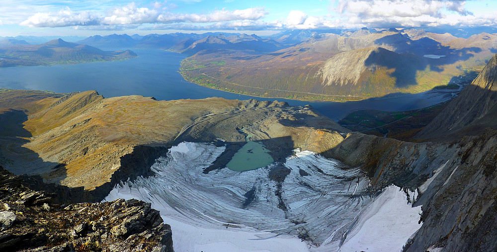
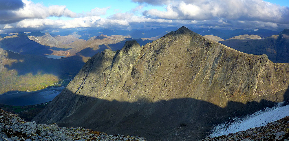
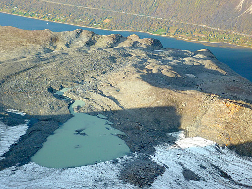
On the plus-side it was not too far from the top when I heard the thunder and the last ½ hour was quite straightforward, much like the whole trip. It was fantastic to get a glimpse over the glacier on the north side in-between Rakeltinden and Store Russetinden – and just as good to see Store Russetinden from a different perspective. The route we used to go up that mountain on my first trip with the fjellsportgruppa last year went up the western side. From Rakeltinden the western side looked ridiculously steep! In-between Rakeltinden and Store Russetinden was the most hacked-out ridge I have seen in a while, and as expected I ended up taking far too many photos of it.
I'm pretty sure I must have faffed around for a good ½ hour before making a start to go down again. I’d quite quickly forgotten about the thunder and hadn’t actually intended to stay for that long. However it was not too long before I got a reminder (in the form of thunder claps) that I ought to get my skates on and hurry on down. It was like the thunderclouds were chasing me down the mountain with the almost-jogging speed I took up!
It didn’t take too long to get down, although I ended up missing the path again somewhere near the start of the forest and ended up having to hunt down the myrområde which I crossed earlier in the day. Can’t say I would usually make a huge effort to find some wet and marshy ground to walk over but on this occasion it was worth looking for so I could get on the proper path again. I was reunited with my car after a very satisfactory 4-hour trip. And even though my knees had started to give me some indication that they were not all that cheerful, I put that down to the speedy descent. I am hopeful that knee supports will soon be forgotten about!




Benutzerkommentare