Archive - Date
Archive - Activity
-
Bike trip (108)
- Bike trip - mixed (25)
- Bike trip - road (83)
-
Drive (9)
- Car drive (9)
-
Other trip (3)
- Kayaking (3)
-
Ski trip (109)
- Backcountry skiing (65)
- Cross-country skiing (44)
- Trip by foot (1782)
Collected lists
-
Voss ≥ 100m pf.
(96/98)
 97%
97% -
Opptur Hordaland
(143/159)
89%
-
Stasjoner på Bergensbanen
(31/40)
77%
-
Ulvik ≥ 100m pf.
(28/38)
73%
-
Hordaland ≥ 100m pf.
(613/863)
71%
-
Mjølfjell PF > 100m
(21/31)
67%
-
Jondal ≥ 100m pf.
(15/23)
65%
-
Sunnhordland PF >= 100m
(104/186)
55%
-
Dagsturhyttene i Vestland
(33/61)
54%
-
Hordaland: Hardanger PF>=100m
(186/359)
51%
-
Kvinnherad ≥ 100m pf.
(40/79)
50%
-
DNT-hytter i Hordaland
(22/45)
48%
-
Sogndal ≥ 100m pf.
(23/81)
28%
-
Vik i Sogn ≥ 100m pf.
(8/46)
17%
-
DNT-hytter i Sogn og Fjordane
(8/47)
17%
-
Eidfjord ≥ 100m pf.
(7/42)
16%
-
Etne ≥ 100m pf.
(7/51)
13%
-
Ullensvang ≥ 100m pf.
(21/153)
13%
-
Sogn - Sør for Sognefjorden PF>=100m
(17/159)
10%
-
Opptur i Sogn og Fjordane peaks
(17/177)
9%

Helleneset
- Date:
- 10.03.2024
- Characteristic:
- Walk
- Duration:
- 0:43h
- Distance:
- 2.6km
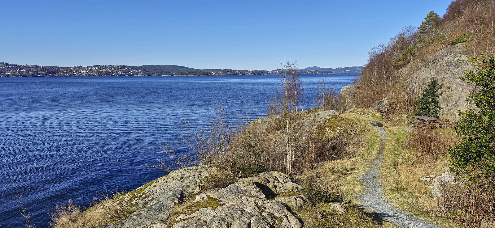 Short local walk after spending all of yesterday skiing at Voss .
Five summits southeast of Grindaflethytta from Brandset
- Date:
- 09.03.2024
- Characteristic:
- Backcountry skiing
- Duration:
- 11:29h
- Distance:
- 41.4km
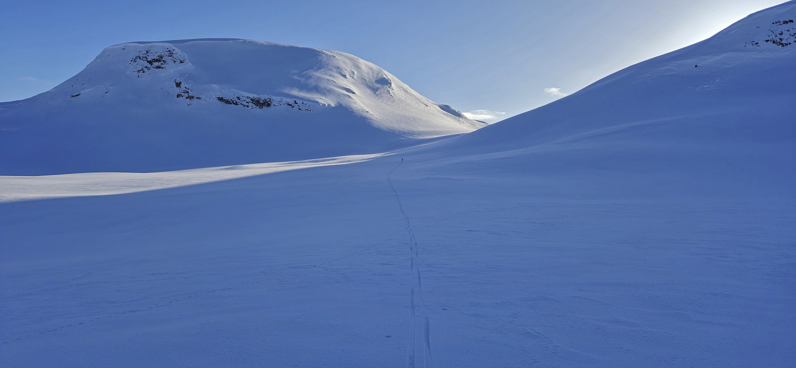 In order to make the most out of the excellent weather, and due to road work at Dalseide, Endre picked me up at my place just before six in the morning and together we drove to Brandset at Voss, only having to wait around ten minutes before we could pass through Dalseidtunnelen at 07:00. We arrived at the parking lot at Brandset around 08:30 and it did not take long before we were ready to start skiing.
We started by following the icy road into Bjørndalen before leaving the scooter trails behind and making our own way up towards Bjørndalsvatnet. Below roughly 1100 meters the snow was very hard, more ice than snow, but higher up the conditions gradually improved and we therefore had pretty good skiing conditions for the majority of the trip.
After a short break west of Bjørndalsvatnet we completed the final ascent to the >>>
In order to make the most out of the excellent weather, and due to road work at Dalseide, Endre picked me up at my place just before six in the morning and together we drove to Brandset at Voss, only having to wait around ten minutes before we could pass through Dalseidtunnelen at 07:00. We arrived at the parking lot at Brandset around 08:30 and it did not take long before we were ready to start skiing.
We started by following the icy road into Bjørndalen before leaving the scooter trails behind and making our own way up towards Bjørndalsvatnet. Below roughly 1100 meters the snow was very hard, more ice than snow, but higher up the conditions gradually improved and we therefore had pretty good skiing conditions for the majority of the trip.
After a short break west of Bjørndalsvatnet we completed the final ascent to the >>>
Totræna Vinterpark
- Date:
- 08.03.2024
- Characteristic:
- Cross-country skiing
- Duration:
- 3:02h
- Distance:
- 8.0km
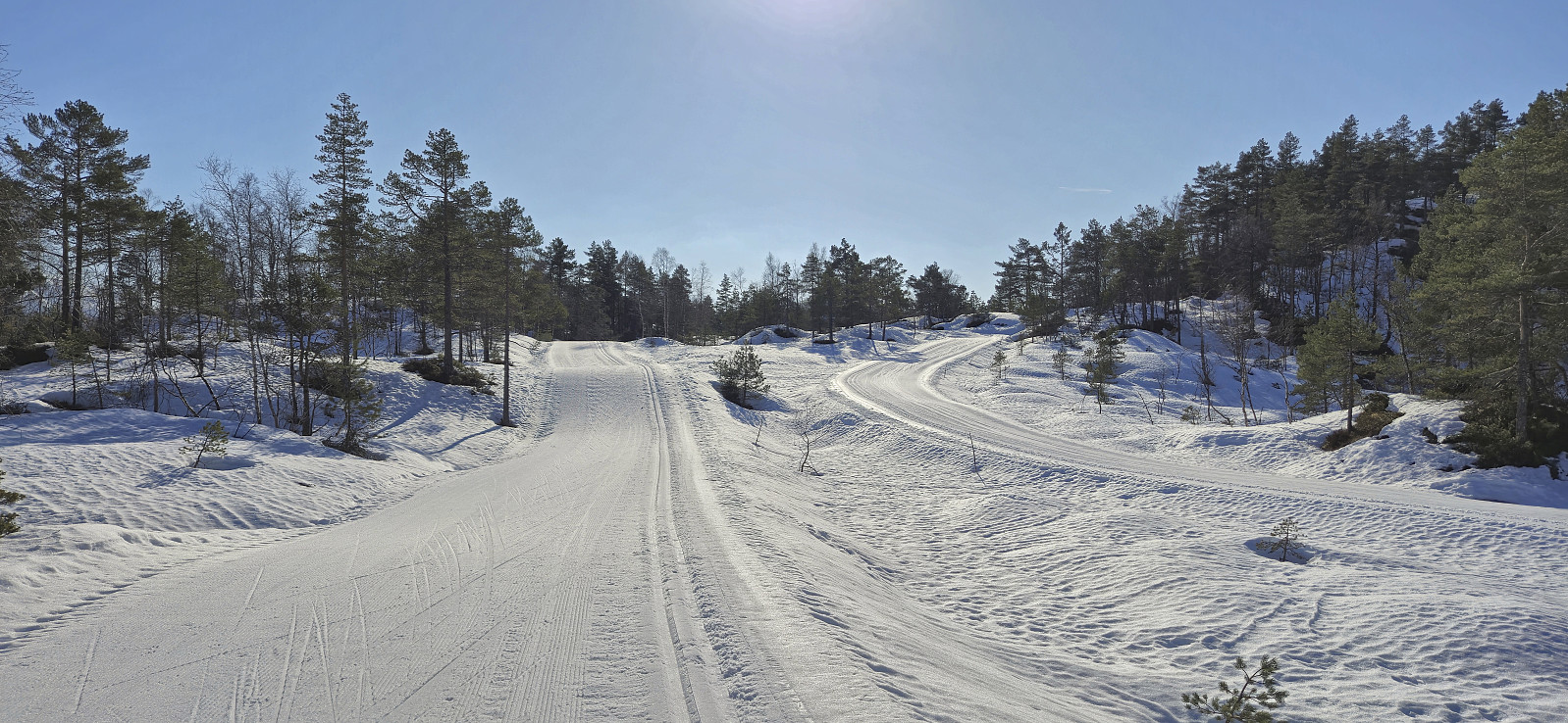 Given the excellent weather I managed to convince three of my colleagues to take the Friday off to go skiing at Totræna Vinterpark . Two of them did not have much experience with cross-country skiing though, hence we initially took it quite slow. After a long lunch break at the skiing jumping hill close to the start of the trails, two of us completed the rest of the groomed ski trails at a slightly higher speed, before we all returned to Bergen.
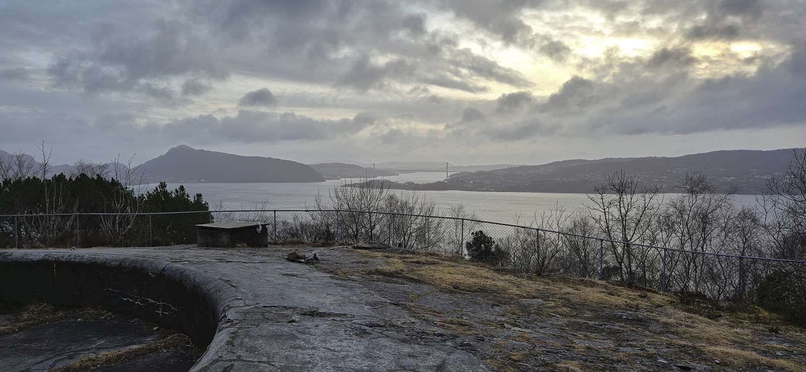
Ørneberget and Hellen festning
- Date:
- 05.03.2024
- Characteristic:
- Hillwalk
- Duration:
- 0:57h
- Distance:
- 4.2km
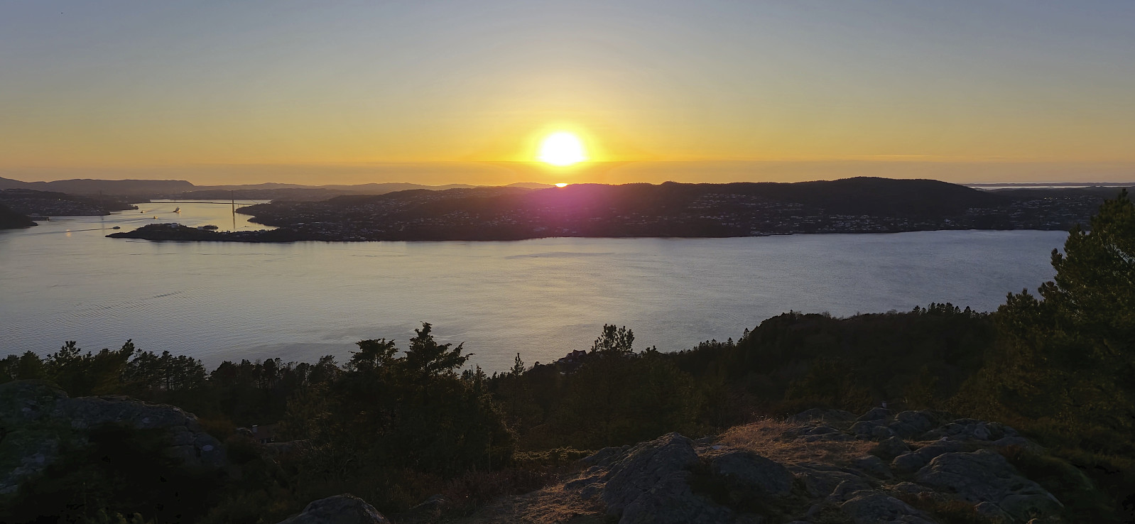 Short local hike just before sunset.
Såta, Aurihophytta and Fedjebjørnen
- Date:
- 03.03.2024
- Characteristic:
- Hillwalk
- Duration:
- 3:31h
- Distance:
- 10.4km
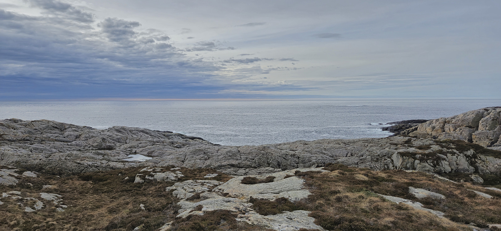 A return to Fedje with the main goal of visiting Aurihophytta , which I had not had time for during my first trip to the island back in 2021 . Decided not to repeat the very long cycling trip this time around though and instead arrived by car, which we left at Sævrøy before getting on the ferry. Minor swells but overall a smooth journey.
At Fedje, we followed the roads southwest to the marked trailhead for Aurihophytta. Here we continued on a very nice gravel-covered trail. But just as we started discussing whether it perhaps would be this easy all the way to the cabin, the marked route left the gravel and instead led us along a relatively wet trail.
We passed via Såta and continued southeast to Aurihophytta. Here we had a short lunch break before heading south to the paved road close to Hellisøy fyr . All that remained was then walking along the road back to >>>
A return to Fedje with the main goal of visiting Aurihophytta , which I had not had time for during my first trip to the island back in 2021 . Decided not to repeat the very long cycling trip this time around though and instead arrived by car, which we left at Sævrøy before getting on the ferry. Minor swells but overall a smooth journey.
At Fedje, we followed the roads southwest to the marked trailhead for Aurihophytta. Here we continued on a very nice gravel-covered trail. But just as we started discussing whether it perhaps would be this easy all the way to the cabin, the marked route left the gravel and instead led us along a relatively wet trail.
We passed via Såta and continued southeast to Aurihophytta. Here we had a short lunch break before heading south to the paved road close to Hellisøy fyr . All that remained was then walking along the road back to >>>
Across Hellen festning
- Date:
- 02.03.2024
- Characteristic:
- Hike
- Duration:
- 0:34h
- Distance:
- 3.1km
 Short local afternoon hike.
Across Hellen festning
- Date:
- 28.02.2024
- Characteristic:
- Hike
- Duration:
- 0:34h
- Distance:
- 3.2km
 Short local hike before dark.
Sandviksbatteriet
- Date:
- 26.02.2024
- Characteristic:
- Hike
- Duration:
- 1:06h
- Distance:
- 5.6km
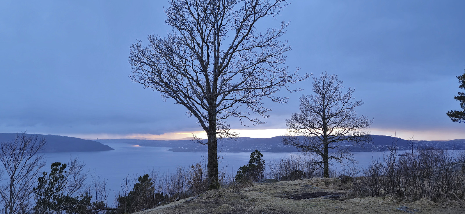 Short local hike after work trying to catch the sunset at Sandviksbatteriet , but got light rain instead.
Vikefjell, Toraksla and Opsangerneset
- Date:
- 25.02.2024
- Characteristic:
- Hillwalk
- Duration:
- 2:47h
- Distance:
- 10.1km
 Ever since Petter and I ran out of time during our visit of Halsnøy and Husnes last June, I had had plans to return to also visit Vikefjell , but this time via the express boat from Bergen. The boat took around two hours and after disembarking I followed the roads east towards the southern trailhead for Vikefjell. No sidewalks but thankfully not a lot of traffic.
The marked trailhead was easily located and I proceeded to follow an initially rather steep trail up to Søre Vikefjell where I took a short break to enjoy the excellent views. From there it was only a short distance to the highest point at Vikefjell, referred to as Nordre Vikefjell. Ok views here as well but more limited than Søre Vikefjell. I continued east along the marked trail until connecting with the gravel road in Teigadalen. Here I turned south and headed down to the main road before turning west and returning >>>
Ever since Petter and I ran out of time during our visit of Halsnøy and Husnes last June, I had had plans to return to also visit Vikefjell , but this time via the express boat from Bergen. The boat took around two hours and after disembarking I followed the roads east towards the southern trailhead for Vikefjell. No sidewalks but thankfully not a lot of traffic.
The marked trailhead was easily located and I proceeded to follow an initially rather steep trail up to Søre Vikefjell where I took a short break to enjoy the excellent views. From there it was only a short distance to the highest point at Vikefjell, referred to as Nordre Vikefjell. Ok views here as well but more limited than Søre Vikefjell. I continued east along the marked trail until connecting with the gravel road in Teigadalen. Here I turned south and headed down to the main road before turning west and returning >>>
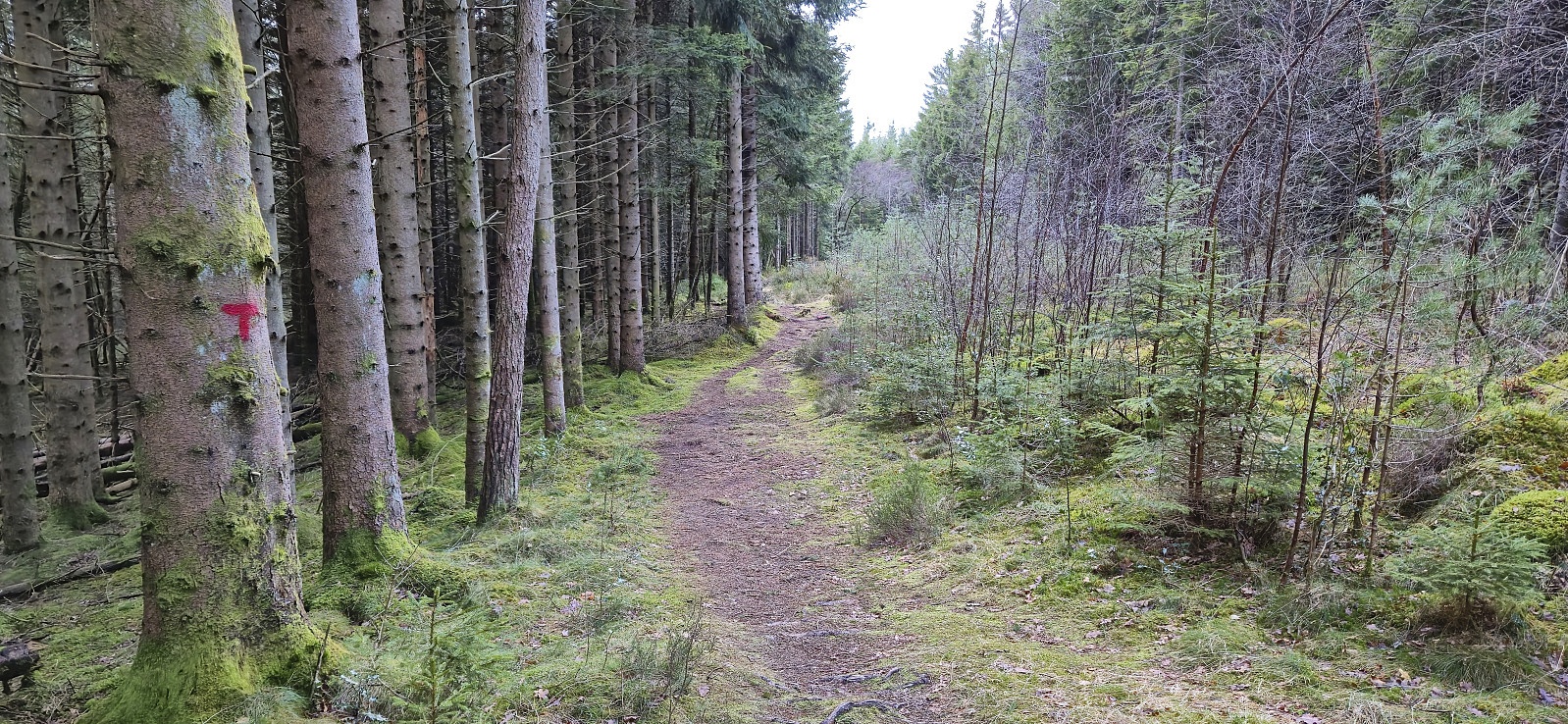
Fjellveien
- Date:
- 24.02.2024
- Characteristic:
- Hike
- Duration:
- 0:51h
- Distance:
- 4.3km
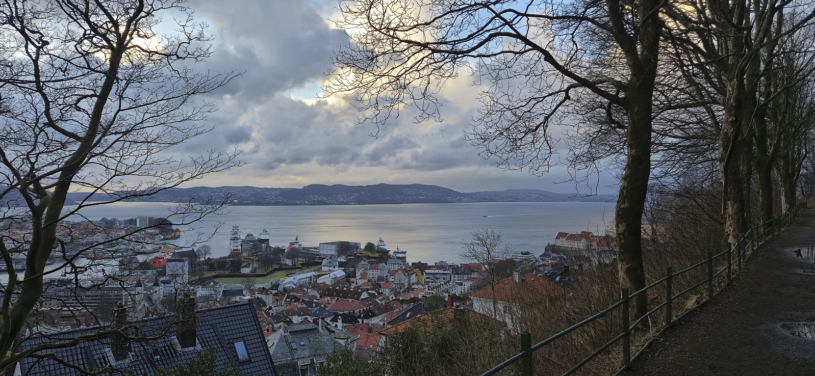 On the way home from my failed attempt at adding a new trig marker to the Søyler (fastmerker) i Bergen list I made a short walk along Fjellveien .
