Archive - Date
Archive - Activity
-
Bike trip (108)
- Bike trip - mixed (25)
- Bike trip - road (83)
-
Drive (9)
- Car drive (9)
-
Other trip (3)
- Kayaking (3)
-
Ski trip (109)
- Backcountry skiing (65)
- Cross-country skiing (44)
- Trip by foot (1782)
Collected lists
-
Voss ≥ 100m pf.
(96/98)
 97%
97% -
Opptur Hordaland
(143/159)
89%
-
Stasjoner på Bergensbanen
(31/40)
77%
-
Ulvik ≥ 100m pf.
(28/38)
73%
-
Hordaland ≥ 100m pf.
(613/863)
71%
-
Mjølfjell PF > 100m
(21/31)
67%
-
Jondal ≥ 100m pf.
(15/23)
65%
-
Sunnhordland PF >= 100m
(104/186)
55%
-
Dagsturhyttene i Vestland
(33/61)
54%
-
Hordaland: Hardanger PF>=100m
(186/359)
51%
-
Kvinnherad ≥ 100m pf.
(40/79)
50%
-
DNT-hytter i Hordaland
(22/45)
48%
-
Sogndal ≥ 100m pf.
(23/81)
28%
-
Vik i Sogn ≥ 100m pf.
(8/46)
17%
-
DNT-hytter i Sogn og Fjordane
(8/47)
17%
-
Eidfjord ≥ 100m pf.
(7/42)
16%
-
Etne ≥ 100m pf.
(7/51)
13%
-
Ullensvang ≥ 100m pf.
(21/153)
13%
-
Sogn - Sør for Sognefjorden PF>=100m
(17/159)
10%
-
Opptur i Sogn og Fjordane peaks
(17/177)
9%

Ørneberget and Furukammen
- Date:
- 06.09.2022
- Characteristic:
- Hillwalk
- Duration:
- 0:50h
- Distance:
- 4.0km
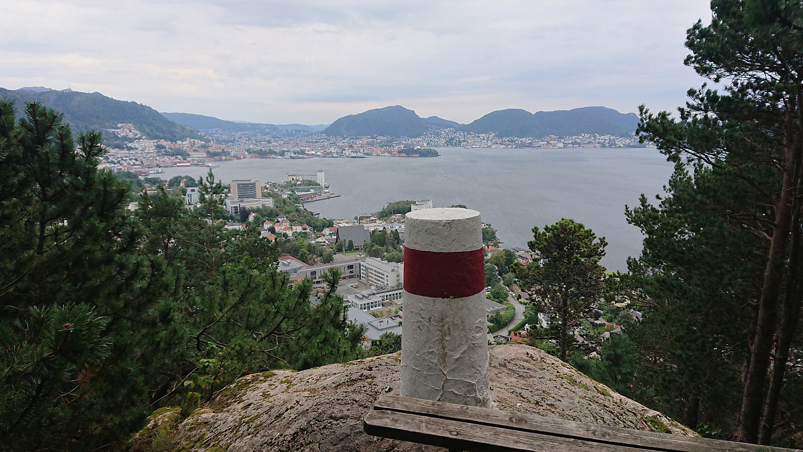
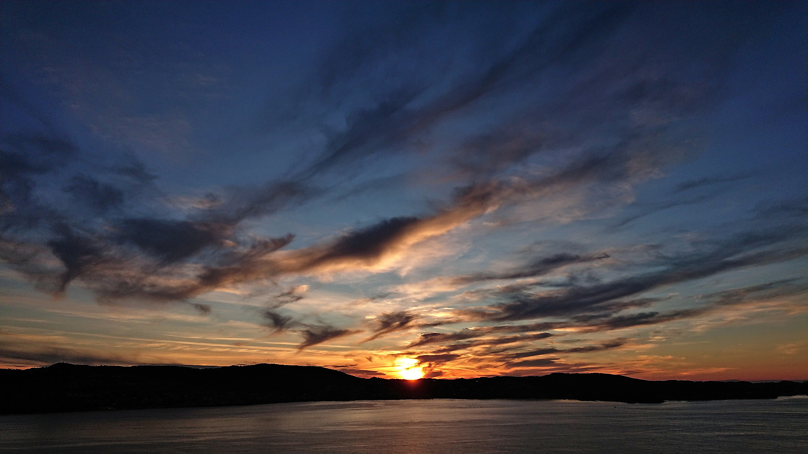 Short local evening hike.
Såta and Bjørgaknausen from Moseheia
- Date:
- 04.09.2022
- Characteristic:
- Hillwalk
- Duration:
- 2:52h
- Distance:
- 10.2km
 After visiting Borninolten (plus Gråfjellet for Fjellsamleren (Endre Myrdal Olsen) ), we drove the short distance to Moseheia where we parked at an unmarked trailhead after first passing through a gate. Unlike the earlier gate at Skarvastølsvegen, this gate did not say anything about limited access, but the parking lot itself was intended for the cabin owners only. There was however plenty of free spaces and we therefore took the chance to leave the car there for our short hike to Såta .
While the trailhead was unmarked, we would soon come across colored trail markers and the trail was, at least initially, of good quality. The trail forked twice and each time we continued on the option heading up Bergsskaret. But when the trail turned weaker and started descending, we instead simply headed off-trail across Brunane towards Såta.
This required a bit of >>>
After visiting Borninolten (plus Gråfjellet for Fjellsamleren (Endre Myrdal Olsen) ), we drove the short distance to Moseheia where we parked at an unmarked trailhead after first passing through a gate. Unlike the earlier gate at Skarvastølsvegen, this gate did not say anything about limited access, but the parking lot itself was intended for the cabin owners only. There was however plenty of free spaces and we therefore took the chance to leave the car there for our short hike to Såta .
While the trailhead was unmarked, we would soon come across colored trail markers and the trail was, at least initially, of good quality. The trail forked twice and each time we continued on the option heading up Bergsskaret. But when the trail turned weaker and started descending, we instead simply headed off-trail across Brunane towards Såta.
This required a bit of >>>
Borninolten via Skarvavatnet
- Date:
- 04.09.2022
- Characteristic:
- Hillwalk
- Duration:
- 2:25h
- Distance:
- 6.5km
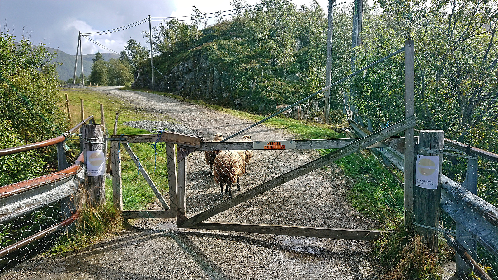 After yesterday's long hike in Modalen , me and Fjellsamleren (Endre Myrdal Olsen) decided on a shorter trip the next day. We ended up with Bergsdalen, as it required much less driving and included several easily accessible summits that neither of us had yet visited. We started by driving to Bergsvatnet and had intended to cross the bridge next to Bergsfossen where a small parking lot was indicated on the map. But at the end of the bridge there was a gate with a sign stating that continuing was only allowed if given permission. There was however room for a couple of cars next to the main road at the start of the bridge, hence we left the car there and continued on foot.
It did not take long before we came across a trail for Skarvavatnet which we then proceeded to follow assuming it would take us at least part of the way to Borninolten . Soon we however split up as Endre >>>
After yesterday's long hike in Modalen , me and Fjellsamleren (Endre Myrdal Olsen) decided on a shorter trip the next day. We ended up with Bergsdalen, as it required much less driving and included several easily accessible summits that neither of us had yet visited. We started by driving to Bergsvatnet and had intended to cross the bridge next to Bergsfossen where a small parking lot was indicated on the map. But at the end of the bridge there was a gate with a sign stating that continuing was only allowed if given permission. There was however room for a couple of cars next to the main road at the start of the bridge, hence we left the car there and continued on foot.
It did not take long before we came across a trail for Skarvavatnet which we then proceeded to follow assuming it would take us at least part of the way to Borninolten . Soon we however split up as Endre >>>
Four summits around Norddalshytten from Åsabotnen
- Date:
- 03.09.2022
- Characteristic:
- Hillwalk
- Duration:
- 10:03h
- Distance:
- 32.3km
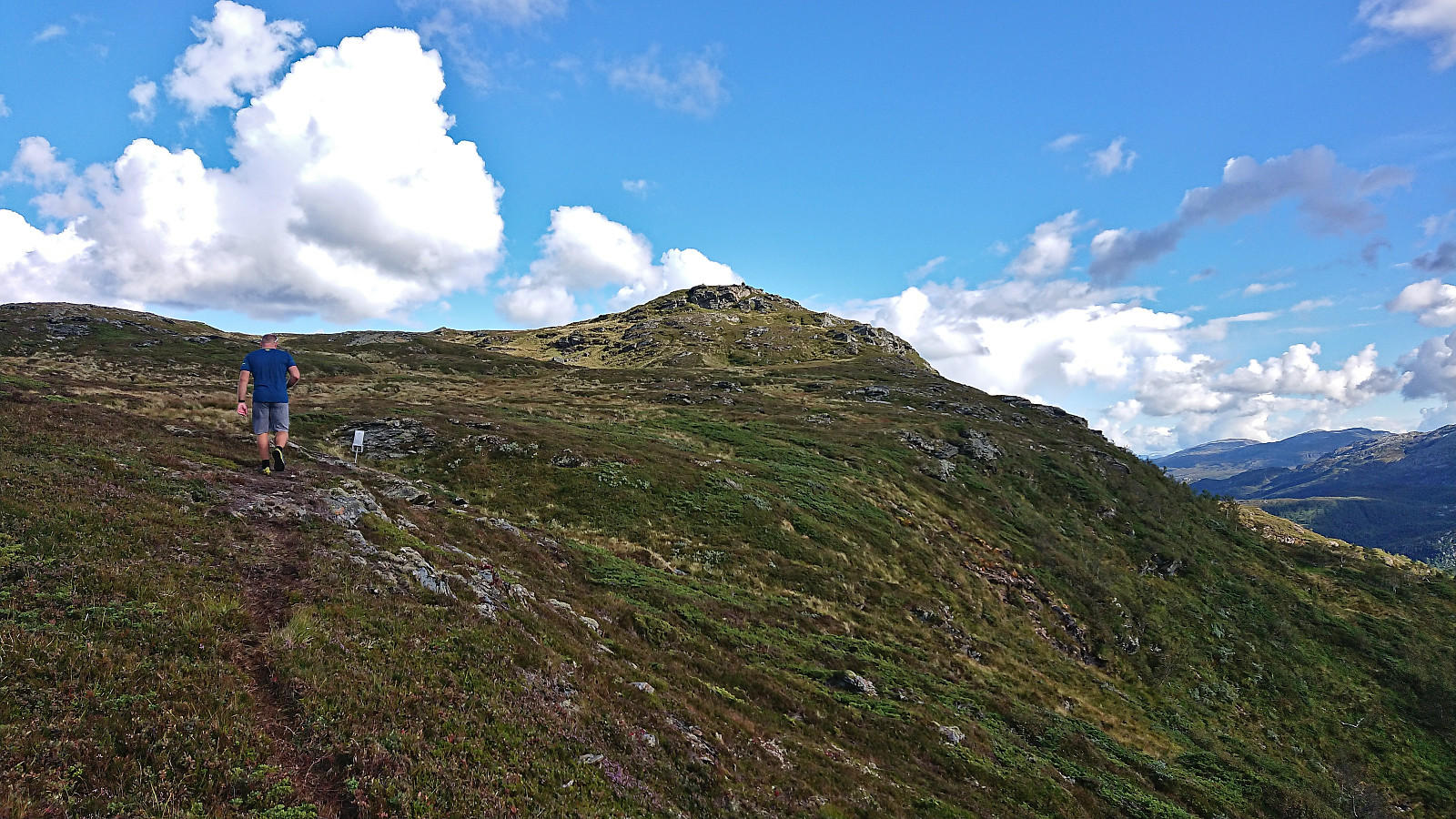
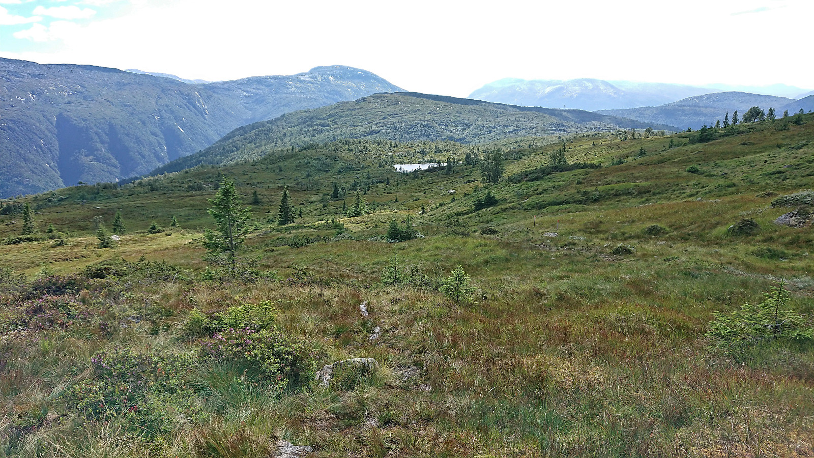
 In the first joint hike with Fjellsamleren (Endre Myrdal Olsen) in almost exactly one year, we decided on the north of Modalen as our target area and hoped to get the time to visit all of the four summits around Norddalshytten .
At the north end of Steinslandsvatnet we therefore continued northeast on a gravel road taking us up to the dam at Stølsvatnet. Here there was a parking lot for hikers, but as the road continued climbing, and was still of good quality, we continued north, making it to the unnamed small 895 lake in Åsabotnen before finally parking the car next to the road. Turned out that we could probably have continued around the next bend, but there the road was slightly rougher and it was only a matter of maybe 700 meters to the end of the road anyway.
The marked trailhead at the end of the road was easily located and we followed >>>
In the first joint hike with Fjellsamleren (Endre Myrdal Olsen) in almost exactly one year, we decided on the north of Modalen as our target area and hoped to get the time to visit all of the four summits around Norddalshytten .
At the north end of Steinslandsvatnet we therefore continued northeast on a gravel road taking us up to the dam at Stølsvatnet. Here there was a parking lot for hikers, but as the road continued climbing, and was still of good quality, we continued north, making it to the unnamed small 895 lake in Åsabotnen before finally parking the car next to the road. Turned out that we could probably have continued around the next bend, but there the road was slightly rougher and it was only a matter of maybe 700 meters to the end of the road anyway.
The marked trailhead at the end of the road was easily located and we followed >>>
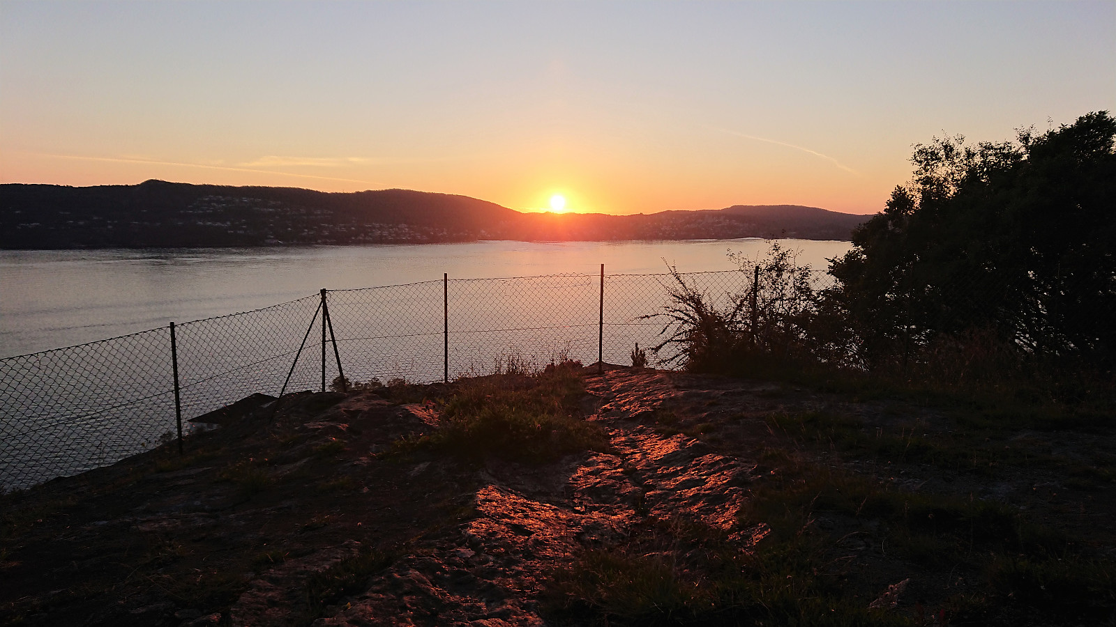
Across Hellen festning
- Date:
- 01.09.2022
- Characteristic:
- Hike
- Duration:
- 0:36h
- Distance:
- 3.1km
 Short local evening hike.
Across Hellen festning
- Date:
- 29.08.2022
- Characteristic:
- Hike
- Duration:
- 0:30h
- Distance:
- 2.4km
 Short local evening hike.
Cycling: Sætrafjellet and Tveitaslottet
- Date:
- 28.08.2022
- Characteristic:
- Bike trip - mixed
- Duration:
- 4:02h
- Distance:
- 40.1km
 After yesterday's long hike in Granvin , I switched to cycling with the goal of visiting one of the two remaining summits on the Fitjar ≥ 100m pf. list, namely Sætrafjellet . I started by cycling to the Bergen city center and taking the bike with me on the bus to Halhjem. This was my first experience of bringing my bike on a bus and I have to admit that I felt a bit out of place, with the added bonus of constantly being worried that the next stop would be full of passengers in more need of the space than me and my bike. Thankfully this did not happen and I arrived at Halhjem without any real issues, thus saving both loads of time and, equally important, resting my tired legs from yesterday.
From Halhjem, I got on the ferry to Sandvikvåg and 45 minutes later I was finally ready to start the real trip. I first cycled along the main road via Fitjar to south >>>
After yesterday's long hike in Granvin , I switched to cycling with the goal of visiting one of the two remaining summits on the Fitjar ≥ 100m pf. list, namely Sætrafjellet . I started by cycling to the Bergen city center and taking the bike with me on the bus to Halhjem. This was my first experience of bringing my bike on a bus and I have to admit that I felt a bit out of place, with the added bonus of constantly being worried that the next stop would be full of passengers in more need of the space than me and my bike. Thankfully this did not happen and I arrived at Halhjem without any real issues, thus saving both loads of time and, equally important, resting my tired legs from yesterday.
From Halhjem, I got on the ferry to Sandvikvåg and 45 minutes later I was finally ready to start the real trip. I first cycled along the main road via Fitjar to south >>>
Høgahorgi, Horganipen and Steinsethorgi
- Date:
- 27.08.2022
- Characteristic:
- Hillwalk
- Duration:
- 8:26h
- Distance:
- 31.3km
 For the third weekend in a row I returned to Voss, but this time on my own and not as part of an organized hike. I started by taking the train to Voss and the bus towards Granvin, getting off at Bulkokrysset. From there I followed the road up to the large parking lot at Madshaugen where I easily located the unmarked trailhead for Høgahorgi . Note that Høgahorgi is also referred to as Nesheimshorgi, where Nesheimshorgi seems to refer to the whole mountain while Høgahorgi to the highest point.
The initial trail quality was very good, but this only lasted until passing the first cabin. After that the trail turned wet and muddy, and I quickly gave up keeping my feet dry. I soon came across another hiker and took the chance to ask for some trail advice, where the most important was to make sure to visit Horganipen for the best >>>
For the third weekend in a row I returned to Voss, but this time on my own and not as part of an organized hike. I started by taking the train to Voss and the bus towards Granvin, getting off at Bulkokrysset. From there I followed the road up to the large parking lot at Madshaugen where I easily located the unmarked trailhead for Høgahorgi . Note that Høgahorgi is also referred to as Nesheimshorgi, where Nesheimshorgi seems to refer to the whole mountain while Høgahorgi to the highest point.
The initial trail quality was very good, but this only lasted until passing the first cabin. After that the trail turned wet and muddy, and I quickly gave up keeping my feet dry. I soon came across another hiker and took the chance to ask for some trail advice, where the most important was to make sure to visit Horganipen for the best >>>
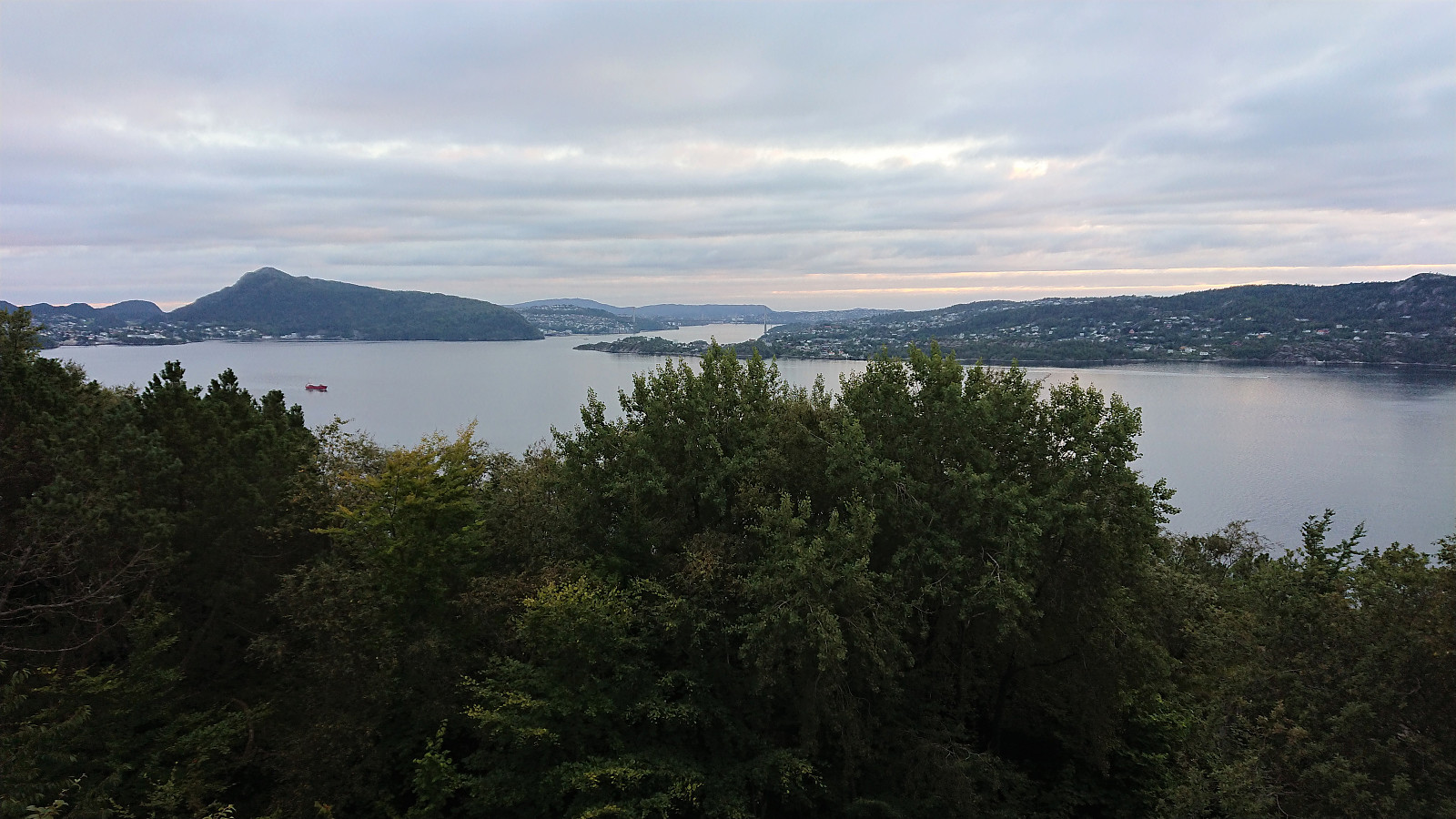
Hellen festning and Furukammen
- Date:
- 24.08.2022
- Characteristic:
- Hike
- Duration:
- 0:58h
- Distance:
- 5.0km
 Short local evening hike.
Fagerdalsfjellet, Ørneberget NV and Hellemyrstien
- Date:
- 23.08.2022
- Characteristic:
- Hillwalk
- Duration:
- 1:24h
- Distance:
- 6.7km
 Short local evening hike.
