Archive - Date
Archive - Activity
-
Bike trip (108)
- Bike trip - mixed (25)
- Bike trip - road (83)
-
Drive (9)
- Car drive (9)
-
Other trip (3)
- Kayaking (3)
-
Ski trip (109)
- Backcountry skiing (65)
- Cross-country skiing (44)
- Trip by foot (1782)
Collected lists
-
Voss ≥ 100m pf.
(96/98)
 97%
97% -
Opptur Hordaland
(143/159)
89%
-
Stasjoner på Bergensbanen
(31/40)
77%
-
Ulvik ≥ 100m pf.
(28/38)
73%
-
Hordaland ≥ 100m pf.
(613/863)
71%
-
Mjølfjell PF > 100m
(21/31)
67%
-
Jondal ≥ 100m pf.
(15/23)
65%
-
Sunnhordland PF >= 100m
(104/186)
55%
-
Dagsturhyttene i Vestland
(33/61)
54%
-
Hordaland: Hardanger PF>=100m
(186/359)
51%
-
Kvinnherad ≥ 100m pf.
(40/79)
50%
-
DNT-hytter i Hordaland
(22/45)
48%
-
Sogndal ≥ 100m pf.
(23/81)
28%
-
Vik i Sogn ≥ 100m pf.
(8/46)
17%
-
DNT-hytter i Sogn og Fjordane
(8/47)
17%
-
Eidfjord ≥ 100m pf.
(7/42)
16%
-
Etne ≥ 100m pf.
(7/51)
13%
-
Ullensvang ≥ 100m pf.
(21/153)
13%
-
Sogn - Sør for Sognefjorden PF>=100m
(17/159)
10%
-
Opptur i Sogn og Fjordane peaks
(17/177)
9%

Around Store Lungegårdsvannet
- Date:
- 17.01.2019
- Characteristic:
- Walk
- Duration:
- 0:40h
- Distance:
- 3.5km
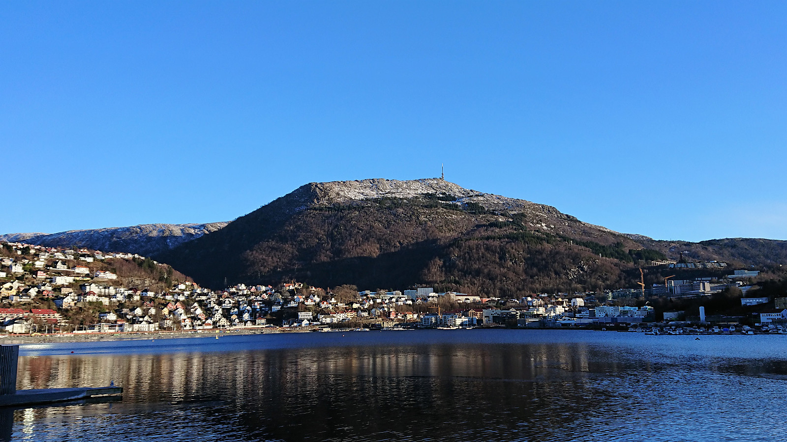 Short walk around Store Lungegårdsvannet with a colleague during a break at work.
Visiting 15 cabins south of Ulriken
- Date:
- 13.01.2019
- Characteristic:
- Hillwalk
- Duration:
- 3:34h
- Distance:
- 12.7km
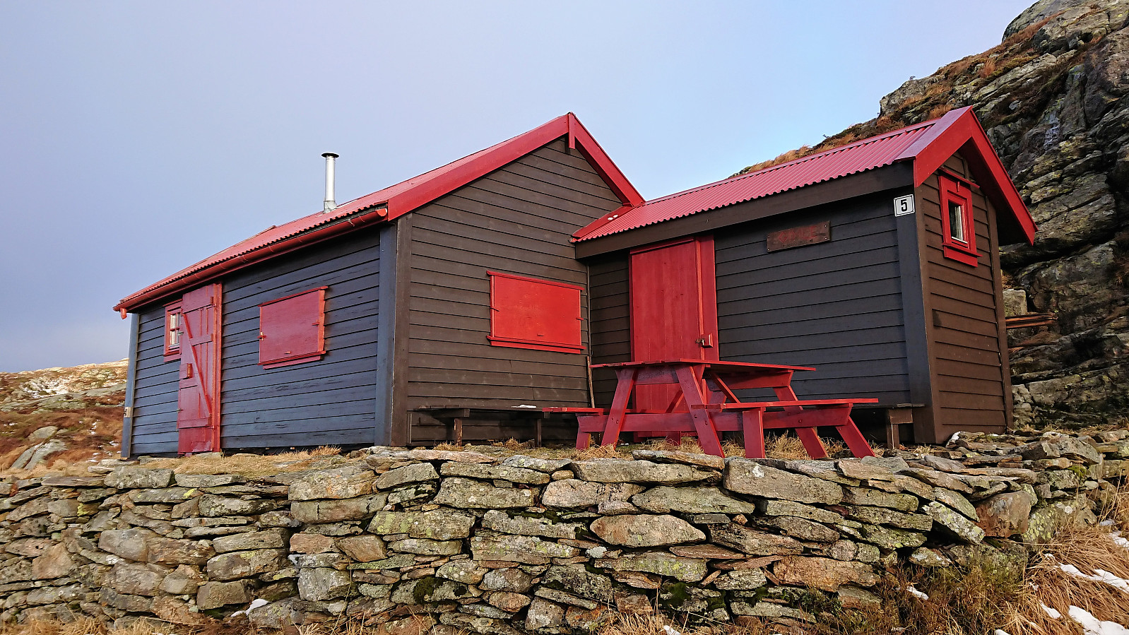 Started from the bus stop at Montana and followed the normal route to Baunehytten and Landåsfjellet . Here I turned back and then passed by Sigridheim , Speiderhytten , Arneborg , Smaa-Gimle , Gimle , Lidskjalv and Noreg on my way up to Turnerhytten . The initial plan had been to continue to Hauggjelsvarden , but the strong cold winds made me discard this plan and instead start my descent, passing by Steinbu and Arken , before finally getting a bit of shelter. Årstadvoll , Djervhytten and Breidablik were also visited on my way down to Årstadveien.
PS: Note that Arken was rebuilt somewhere between 2017 and 2018 . The cabin's appearance is therefore different compared to the pictures in "Byfjellene - mangfold og hytteliv" by Trygve Hillestad from 2016. Until coming across this information I was unsure whether I had visited the correct cabin. ;)
PSS: Steinbu has clearly also recently been refurbished and now ironically looks more like it's made out of wood than the stones indicated by the name. :)
Started from the bus stop at Montana and followed the normal route to Baunehytten and Landåsfjellet . Here I turned back and then passed by Sigridheim , Speiderhytten , Arneborg , Smaa-Gimle , Gimle , Lidskjalv and Noreg on my way up to Turnerhytten . The initial plan had been to continue to Hauggjelsvarden , but the strong cold winds made me discard this plan and instead start my descent, passing by Steinbu and Arken , before finally getting a bit of shelter. Årstadvoll , Djervhytten and Breidablik were also visited on my way down to Årstadveien.
PS: Note that Arken was rebuilt somewhere between 2017 and 2018 . The cabin's appearance is therefore different compared to the pictures in "Byfjellene - mangfold og hytteliv" by Trygve Hillestad from 2016. Until coming across this information I was unsure whether I had visited the correct cabin. ;)
PSS: Steinbu has clearly also recently been refurbished and now ironically looks more like it's made out of wood than the stones indicated by the name. :)
Furukammen
- Date:
- 11.01.2019
- Characteristic:
- Hike
- Duration:
- 1:13h
- Distance:
- 4.9km
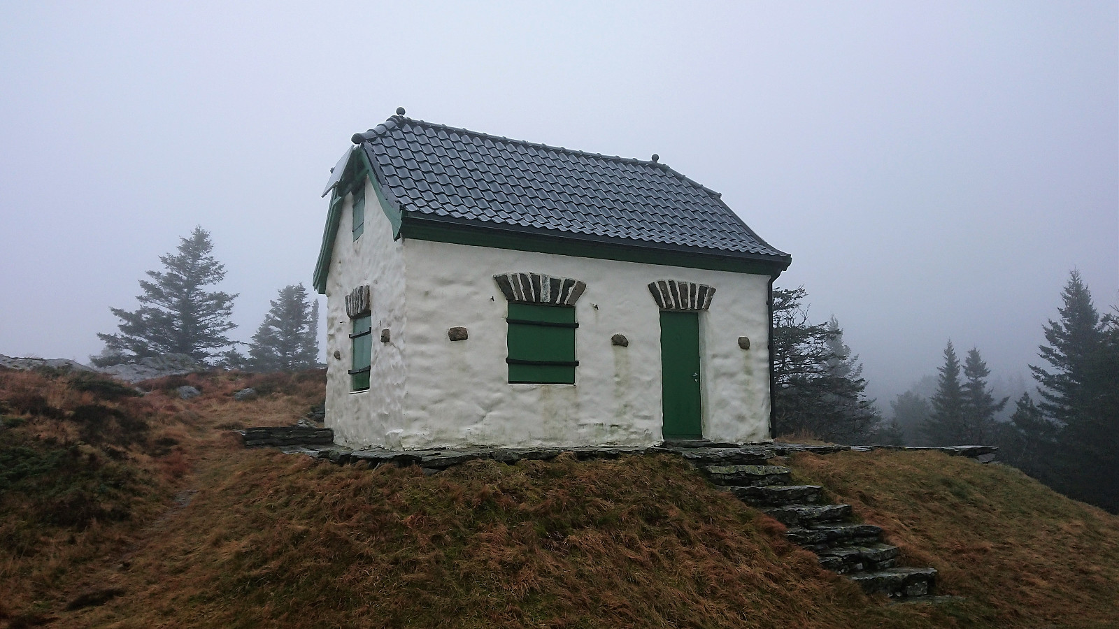
 Short local evening hike across Furukammen.
Vardebu, Ulvehylet and Fjellsol
- Date:
- 08.01.2019
- Characteristic:
- Hillwalk
- Duration:
- 2:06h
- Distance:
- 6.7km
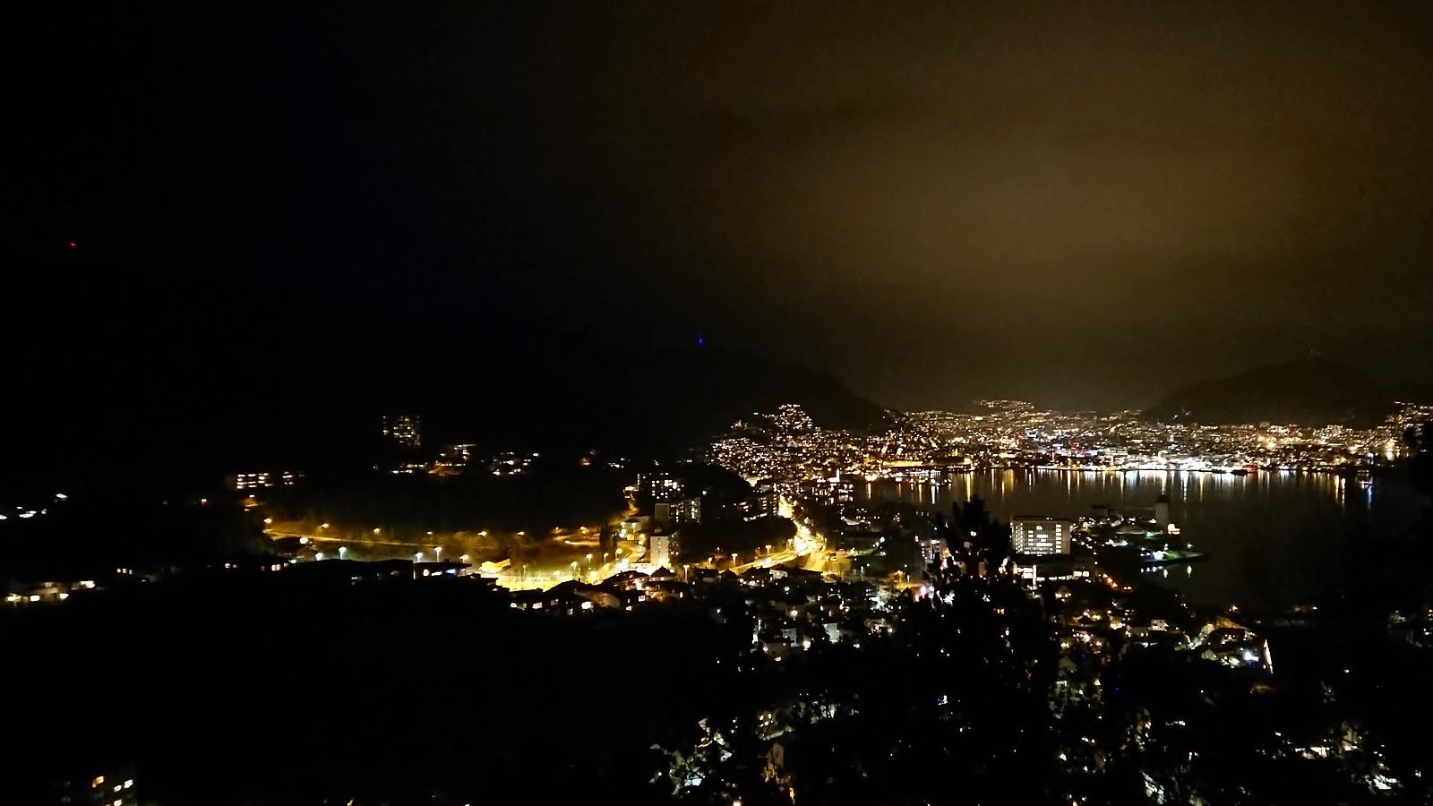
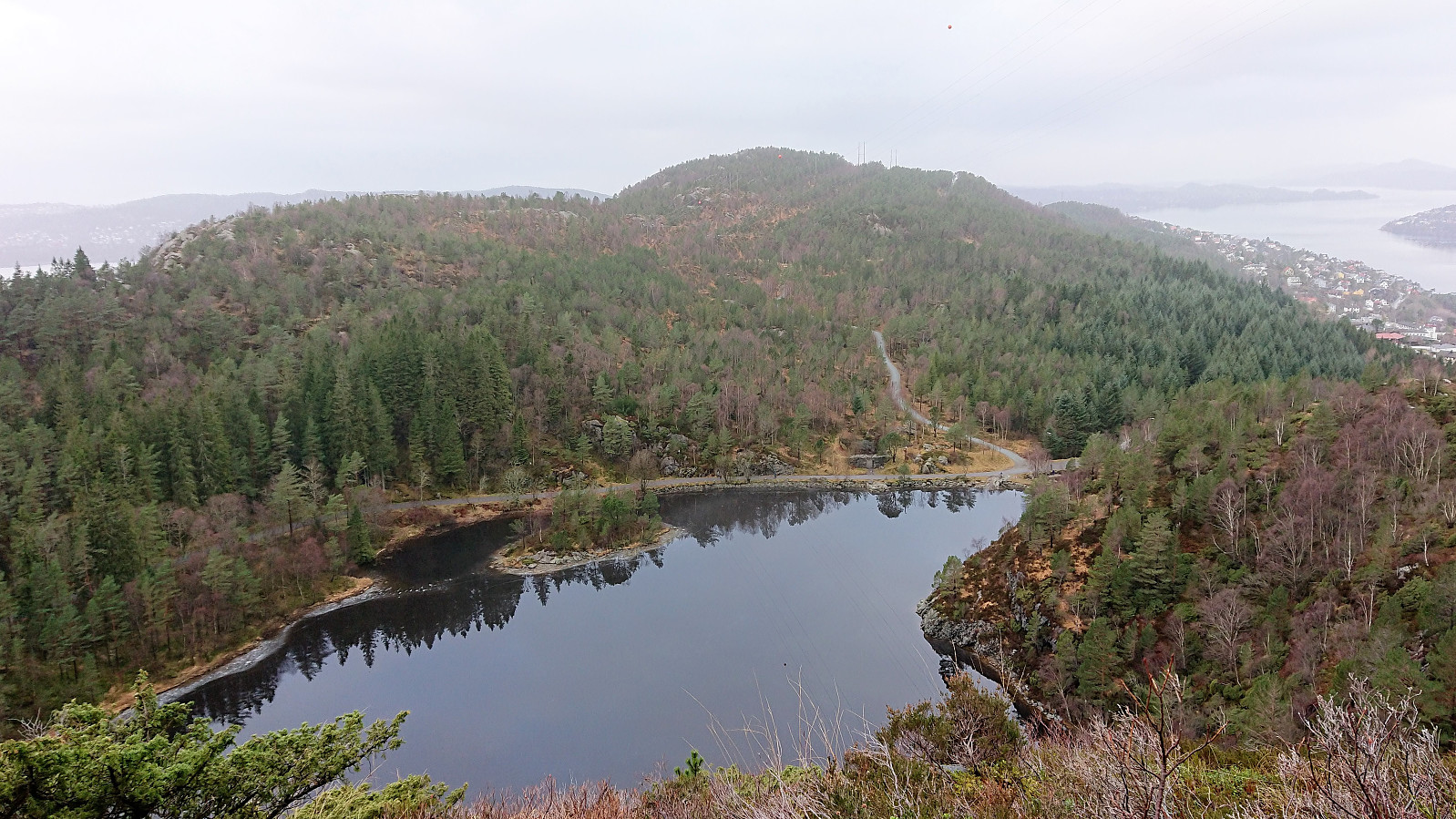
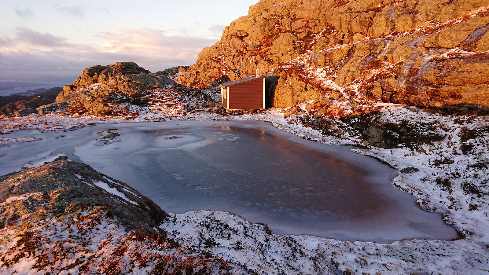 For the first time in a long while the sun was shining. I therefore left work a bit early and headed for Ulriken , this time not taking the stone steps but rather the trail along Langrinden. Slightly more tricky than expected due to several icy areas, but I made it to the upper station of the cable car without any real difficulties. There I put on the snow chains and continued to Vardebu for some very nice pictures in the setting sun. Quick visits of Ulvehylet and Fjellsol were also made before starting the descent. Decided to stay away from the icy stone steps and instead followed the old path for the first stretch, making it to the gravel road just as it was starting to get dark.
Helgheim and Grevbu via Hardbakkedalen
- Date:
- 06.01.2019
- Characteristic:
- Hillwalk
- Duration:
- 5:25h
- Distance:
- 17.9km
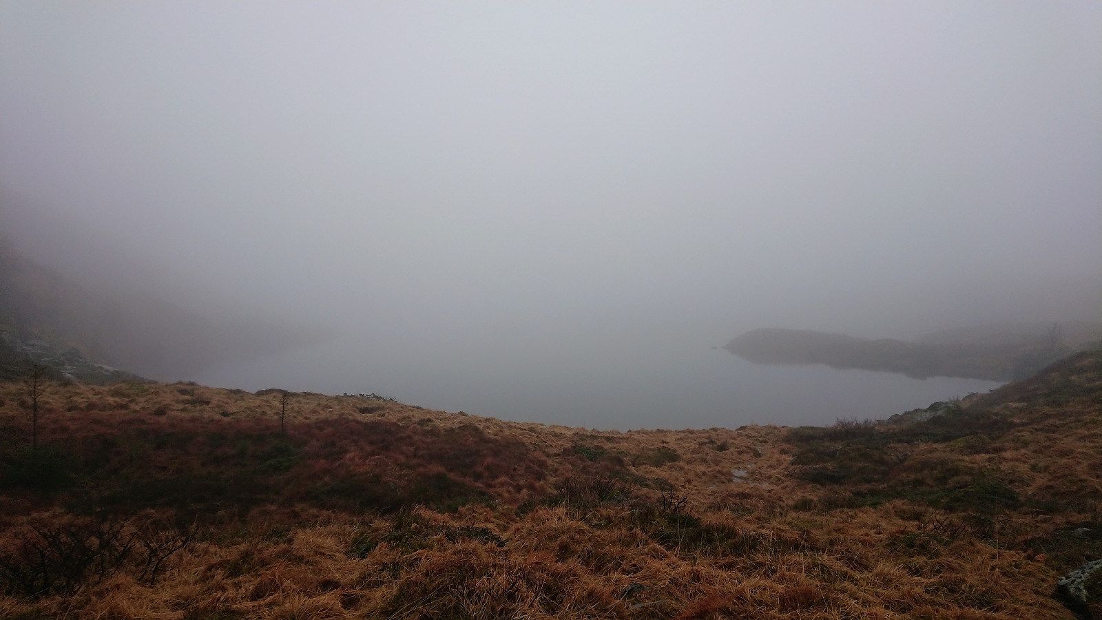 Started from Årstadveien and walked along Svartediket before following Hardbakkedalen up to Langelivatnet. The dense fog made it more challenging to locate Helgheim than expected, but in the end we found a trail that took as all the way to the cabin. But on our way back we continued too far north/northwest, missing the exit to Grevbu , and ended up having to retrace out steps before finally taking a shortcut toward the cabin. In better weather this mistake would probably have been easily avoided. After a quick visit of Grevbu, we followed the marked trail down to Tarlebøvatnet. The hike was then concluded by passing over Rundemanen on the way home to Lønborg. Overall a nice hike that can be recommended, but probably much more enjoyable in better conditions.
Six cabins southeast of Gravdalsfjellet
- Date:
- 05.01.2019
- Characteristic:
- Hillwalk
- Duration:
- 2:13h
- Distance:
- 6.6km
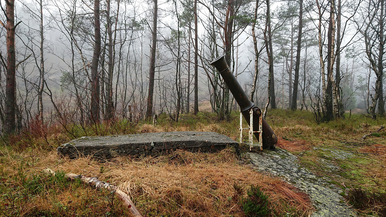 Took the bus to Fyllingsdalen and got off at the bus stop called Løvstakktunnelen (which is not inside the tunnel as the name would seem to indicate). Started by following hiking signs for Damsgårdsfjellet , soon arriving at the football field in Nordnæsdalen and the first cabins of the day: Nordnæshytten and Soldathytten . The marked trail then quickly took me to Laksevåghytten and onward to Sethaug where the trail started to get rather wet. After a quick visit to Sethaug, I followed the trail (now of better quality) west, reaching Våpensteinen before turning back and following the trail up Seljedalen for a visit to Brattheim . Finally, I passed by Viggohytten on my way up to the summit of Gravdalsfjellet , before following the ridge of Holefjellet down to Kringsjå and the bus back home to Lønborg. Overall a nice hike, mostly along ok trails, but on this day sadly with next to no views due to the dense fog.
Tindeborg and Nordmannshytten
- Date:
- 30.12.2018
- Characteristic:
- Hillwalk
- Duration:
- 3:32h
- Distance:
- 15.8km
 Started by taking the bus to Bradbenken and from there following various roads up to Skomakerdiket. From there I continued on the trail up Skomakerdalen and then for a while followed the trail towards Fjellhytten . Here the map indicated a shortcut heading east, but this turned out to be a rather old and wet trail. It was marked by several cairns, but overall these were easier to see than the trail itself. Clearly a better option to go via Fjellhytten.
On my way to Rundemanen I made a quick detour to Tindeborg , before taking Malerskaret down toward Storediket, passing by Nordmannshytten on the way. But instead of going all the way to Storediket, I followed a trail northwest, which took me further north than expected, before finally reaching the gravel road south of Storevatnet.
Started by taking the bus to Bradbenken and from there following various roads up to Skomakerdiket. From there I continued on the trail up Skomakerdalen and then for a while followed the trail towards Fjellhytten . Here the map indicated a shortcut heading east, but this turned out to be a rather old and wet trail. It was marked by several cairns, but overall these were easier to see than the trail itself. Clearly a better option to go via Fjellhytten.
On my way to Rundemanen I made a quick detour to Tindeborg , before taking Malerskaret down toward Storediket, passing by Nordmannshytten on the way. But instead of going all the way to Storediket, I followed a trail northwest, which took me further north than expected, before finally reaching the gravel road south of Storevatnet.
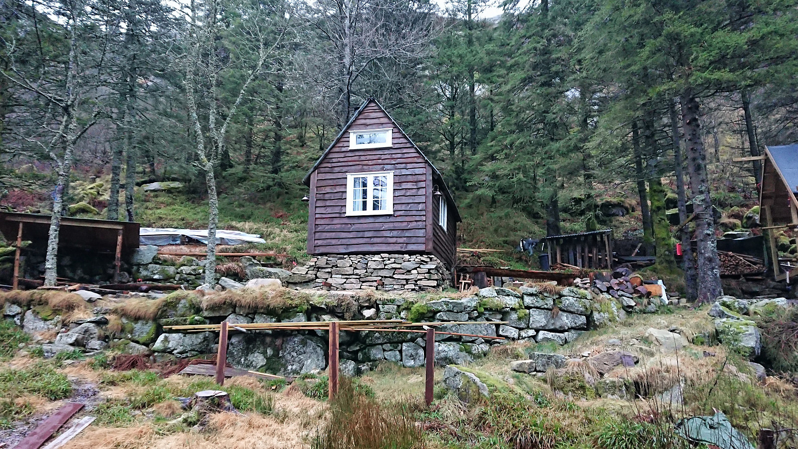
Birkelid, Ravneberg, Fjellheim and Dræggehytten
- Date:
- 28.12.2018
- Characteristic:
- Hillwalk
- Duration:
- 3:12h
- Distance:
- 11.9km
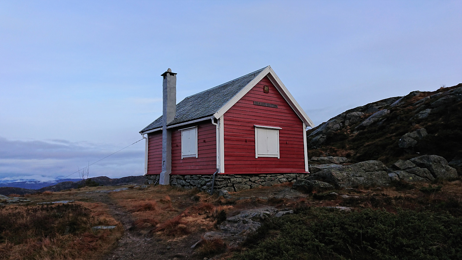 Part three of my Christmas tour of local cabins.
Breidablikk, Utsikten and Torodd
- Date:
- 26.12.2018
- Characteristic:
- Hillwalk
- Duration:
- 3:01h
- Distance:
- 10.7km
 Another short Christmas hike visiting local cabins, this time in the area east of Storevatnet. Rain and low-hanging clouds today, hence the views were rather limited.
Solhaug in Ramslia
- Date:
- 25.12.2018
- Characteristic:
- Hillwalk
- Duration:
- 1:46h
- Distance:
- 5.7km
 Short Christmas hike to the remains of the cabin Solhaug in Ramslia above Langevatnet. Both trail and cabin have seen better days, but there were also traces of more recent activity.
