Archive - Date
Archive - Activity
-
Bike trip (108)
- Bike trip - mixed (25)
- Bike trip - road (83)
-
Drive (9)
- Car drive (9)
-
Other trip (3)
- Kayaking (3)
-
Ski trip (109)
- Backcountry skiing (65)
- Cross-country skiing (44)
- Trip by foot (1782)
Collected lists
-
Voss ≥ 100m pf.
(96/98)
 97%
97% -
Opptur Hordaland
(143/159)
89%
-
Stasjoner på Bergensbanen
(31/40)
77%
-
Ulvik ≥ 100m pf.
(28/38)
73%
-
Hordaland ≥ 100m pf.
(613/863)
71%
-
Mjølfjell PF > 100m
(21/31)
67%
-
Jondal ≥ 100m pf.
(15/23)
65%
-
Sunnhordland PF >= 100m
(104/186)
55%
-
Dagsturhyttene i Vestland
(33/61)
54%
-
Hordaland: Hardanger PF>=100m
(186/359)
51%
-
Kvinnherad ≥ 100m pf.
(40/79)
50%
-
DNT-hytter i Hordaland
(22/45)
48%
-
Sogndal ≥ 100m pf.
(23/81)
28%
-
Vik i Sogn ≥ 100m pf.
(8/46)
17%
-
DNT-hytter i Sogn og Fjordane
(8/47)
17%
-
Eidfjord ≥ 100m pf.
(7/42)
16%
-
Etne ≥ 100m pf.
(7/51)
13%
-
Ullensvang ≥ 100m pf.
(21/153)
13%
-
Sogn - Sør for Sognefjorden PF>=100m
(17/159)
10%
-
Opptur i Sogn og Fjordane peaks
(17/177)
9%

Across Hellen festning
- Date:
- 23.10.2023
- Characteristic:
- Hike
- Duration:
- 0:36h
- Distance:
- 3.1km
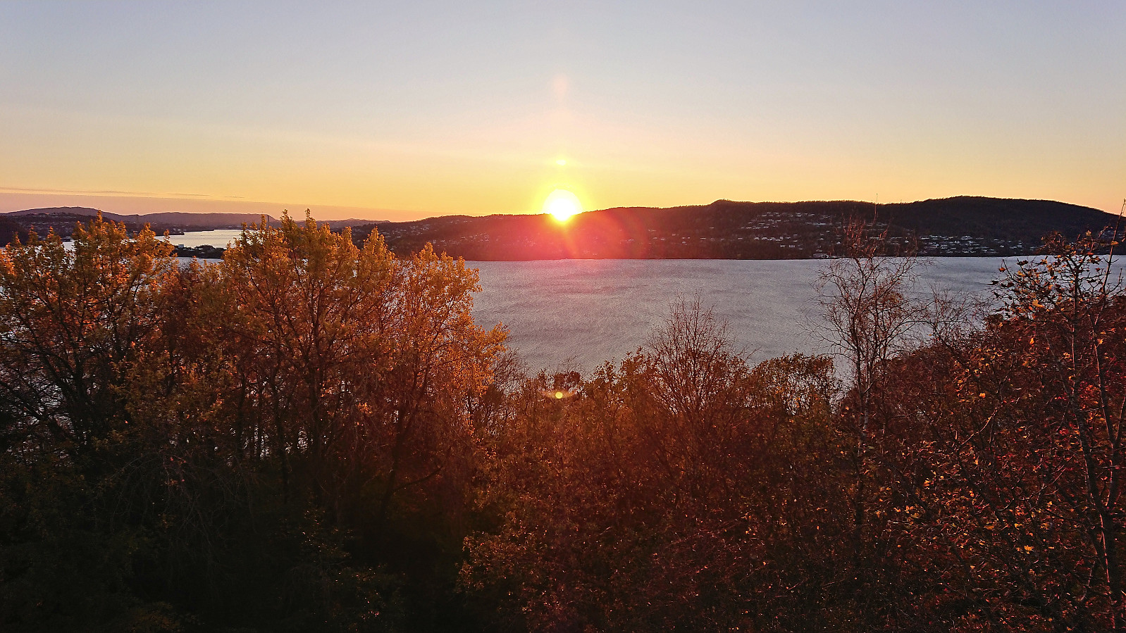
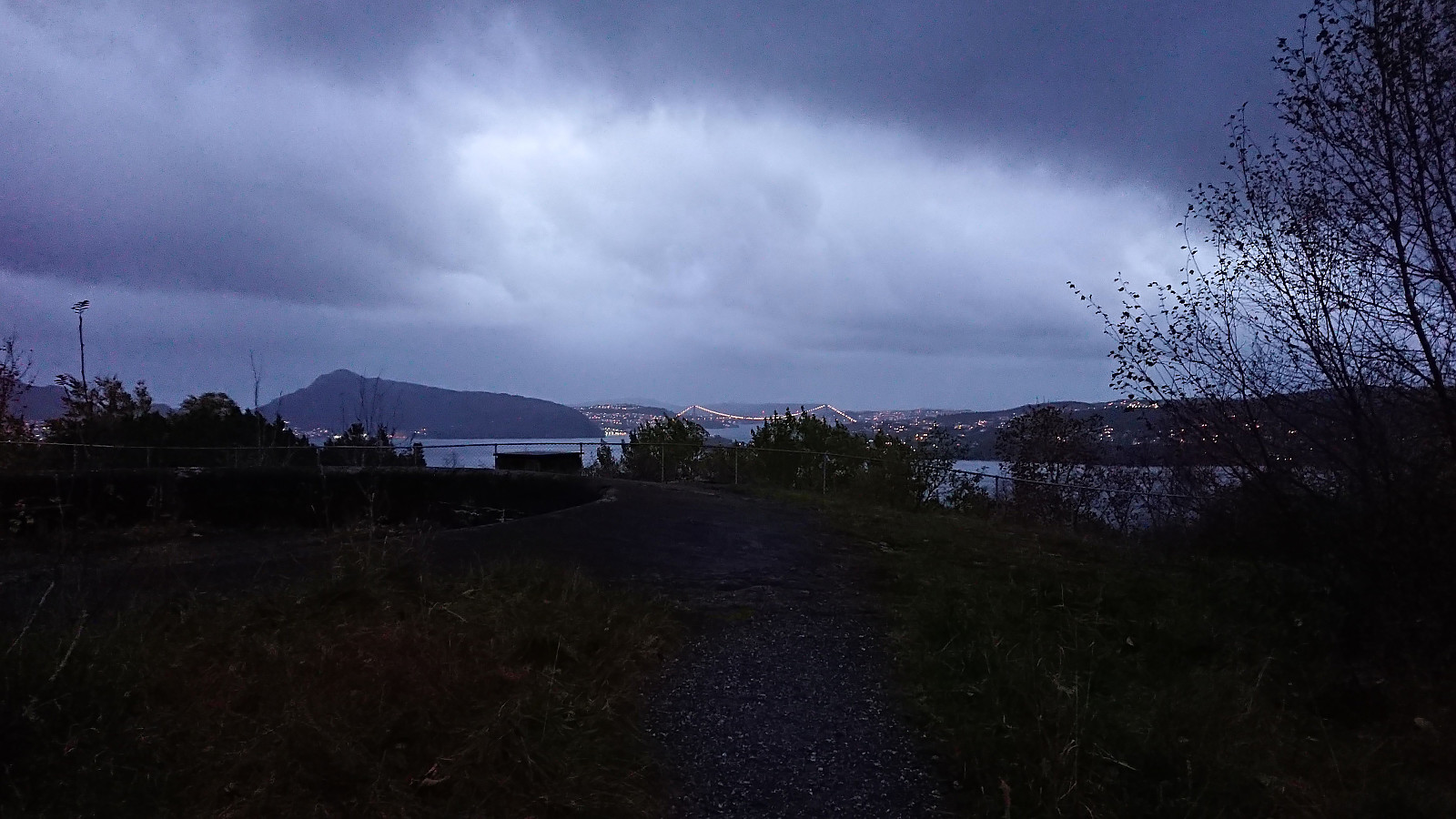
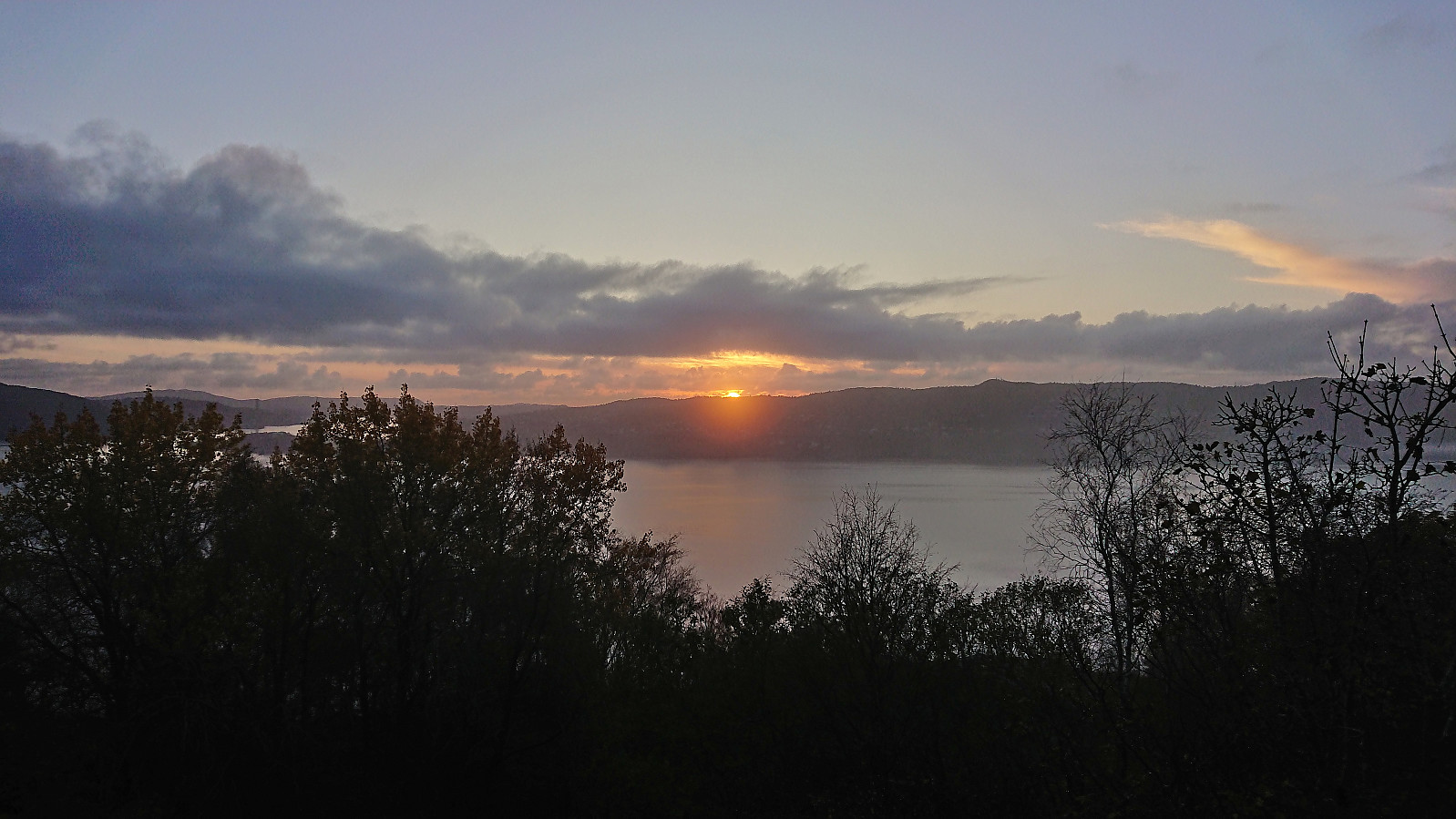 Short local hike after work to catch the sunset at Hellen festning.
Kjerringafjellet and Kvasshovden
- Date:
- 22.10.2023
- Characteristic:
- Hillwalk
- Duration:
- 7:06h
- Distance:
- 17.6km
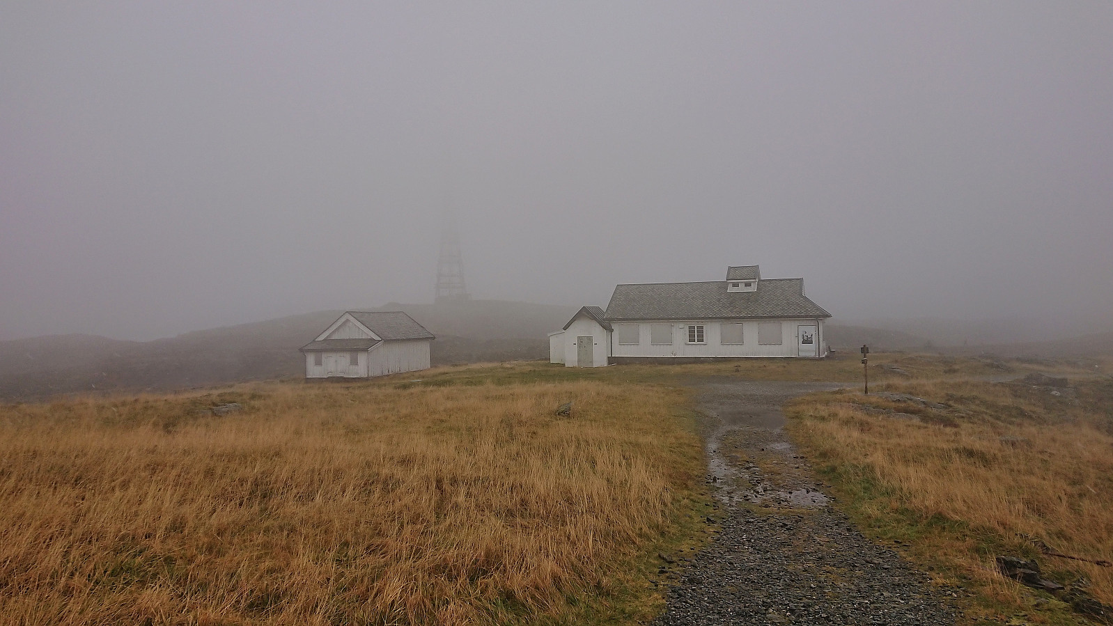
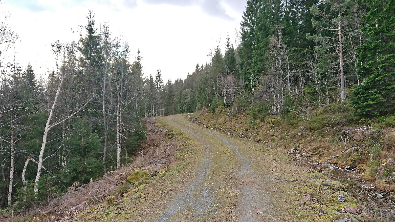 After several days of strong wind from the east, the weather finally improved enough to allow for proper mountain hiking. I therefore got up early Sunday morning and took the train to Voss (or to be more correct, bus-for-train to Arna and then train to Voss). Here I switched back to bus and continued in the direction of Ulvik. My plan was partially follow in the footsteps of Knut Sverre and Astrid based on their trip report from 2015 indicating a trail to Kvasshovden via Grostøl, mainly as this would save me almost 300 vertical meters compared to starting from the fjord at Ulvik.
In advance I had figured out that the closest bus stop to the wanted trailhead was called Ulsberg, which would leave less than 600 meters to the start of a tractor road I had located on the map. This was apparently not a very commonly used bus stop though. Proven by the >>>
After several days of strong wind from the east, the weather finally improved enough to allow for proper mountain hiking. I therefore got up early Sunday morning and took the train to Voss (or to be more correct, bus-for-train to Arna and then train to Voss). Here I switched back to bus and continued in the direction of Ulvik. My plan was partially follow in the footsteps of Knut Sverre and Astrid based on their trip report from 2015 indicating a trail to Kvasshovden via Grostøl, mainly as this would save me almost 300 vertical meters compared to starting from the fjord at Ulvik.
In advance I had figured out that the closest bus stop to the wanted trailhead was called Ulsberg, which would leave less than 600 meters to the start of a tractor road I had located on the map. This was apparently not a very commonly used bus stop though. Proven by the >>>
Sandbrekketoppen and Rambjørga
- Date:
- 21.10.2023
- Characteristic:
- Hike
- Duration:
- 2:10h
- Distance:
- 8.9km
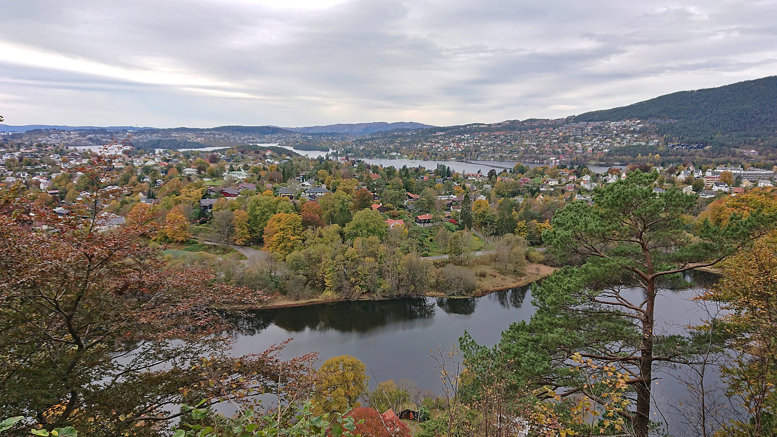 Saturday hike from Nesttun to Haukeland sykehus with the main objective of visiting the trig markers at Sandbrekketoppen and Rambjørga . Both provided great views and resulted in an overall enjoyable short trip.
Ørneberget and Furukammen
- Date:
- 20.10.2023
- Characteristic:
- Hillwalk
- Duration:
- 0:55h
- Distance:
- 4.0km
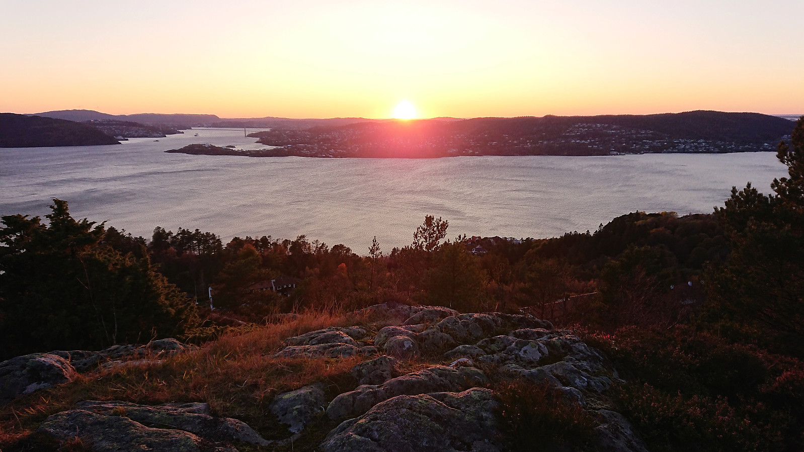 Short hike after work to catch the sunset at Ørneberget.
Across Hellen festning
- Date:
- 19.10.2023
- Characteristic:
- Hike
- Duration:
- 0:39h
- Distance:
- 3.4km
 Short hike after work to catch the sunset at Hellen festning.
Rundemanen from Starefossen
- Date:
- 15.10.2023
- Characteristic:
- Hillwalk
- Duration:
- 3:28h
- Distance:
- 15.2km
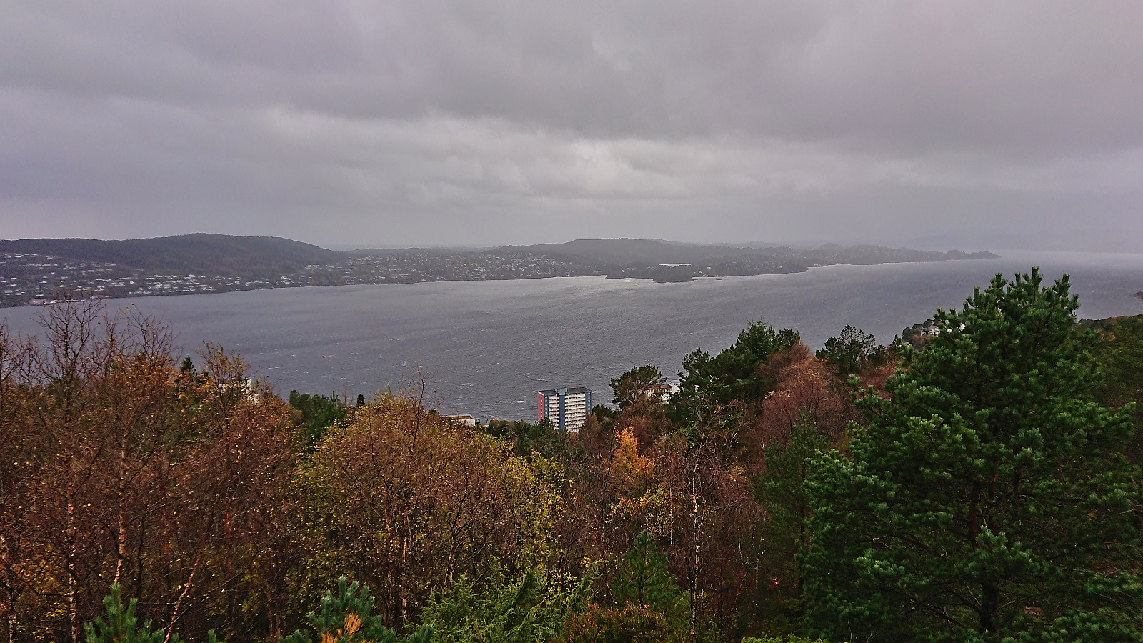
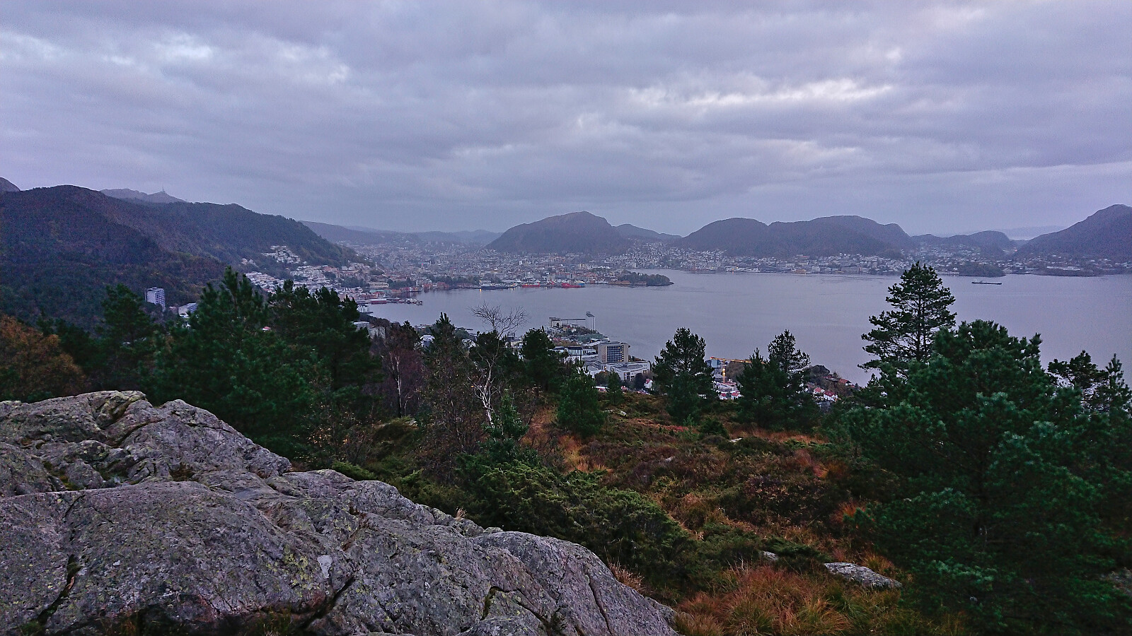
 A wet and windy Sunday hike from Starefossen to Lønborg via Rundemanen with the main objective of visiting a small unnamed hill east of Store Tindevatnet that had been added as its own PB-element a while ago. The small hill was right next to the trail and could thus easily be reached but did not provide any unique views or other distinguishing features.
Ørneberget NV and Hellemyrstien
- Date:
- 14.10.2023
- Characteristic:
- Hike
- Duration:
- 1:42h
- Distance:
- 8.2km
 Local afternoon hike on a wet and windy Saturday.
Ørneberget and Furukammen
- Date:
- 12.10.2023
- Characteristic:
- Hillwalk
- Duration:
- 0:54h
- Distance:
- 4.0km
 Short local evening hike.
Across Hellen festning
- Date:
- 11.10.2023
- Characteristic:
- Hike
- Duration:
- 0:34h
- Distance:
- 3.2km
 Short local evening hike in between the worst of the heavy rain showers. There was no escaping the strong wind though.
Vossavangen to Seimsgrend
- Date:
- 08.10.2023
- Characteristic:
- Hike
- Duration:
- 2:15h
- Distance:
- 11.9km
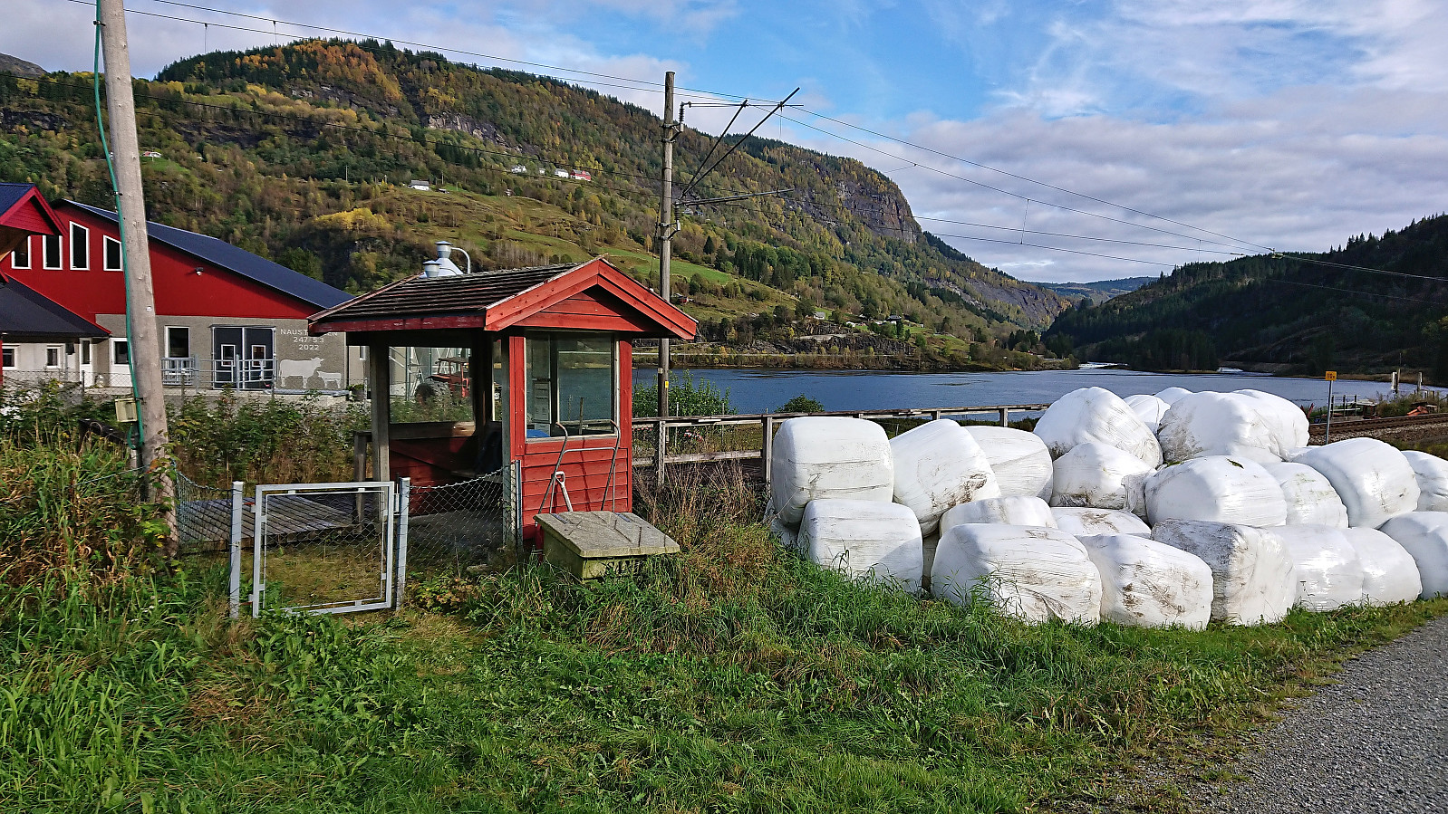 Still low on energy after a week on the couch due to the flu, I decided to go for something less ambitious than usual on a Sunday. The main goal being to visit my only remaining train stop between Bergen and Ljosandbotn (see the Stasjoner på Bergensbanen list ), namely Seimsgrend haldeplass . I took the train to Voss and from there simply followed a combination of cycling/walking paths and smaller roads with limited traffic east to Bulken . Here I crossed the river via the bridge and briefly continued along the main road to Hamlagrø. An increase in the amount of traffic and the lack of a sidewalk made this the least enjoyable part of the hike. Thankfully it only lasted for less than 1 km before I could leave the main road and start descending on the smaller gravel road to Seim. The train stop at Seim/Seimsgrend was easily located and I only had to wait around 15 minutes >>>
