Archive - Date
Archive - Activity
-
Bike trip (108)
- Bike trip - mixed (25)
- Bike trip - road (83)
-
Drive (9)
- Car drive (9)
-
Other trip (3)
- Kayaking (3)
-
Ski trip (109)
- Backcountry skiing (65)
- Cross-country skiing (44)
- Trip by foot (1782)
Collected lists
-
Voss ≥ 100m pf.
(96/98)
 97%
97% -
Opptur Hordaland
(143/159)
89%
-
Stasjoner på Bergensbanen
(31/40)
77%
-
Ulvik ≥ 100m pf.
(28/38)
73%
-
Hordaland ≥ 100m pf.
(613/863)
71%
-
Mjølfjell PF > 100m
(21/31)
67%
-
Jondal ≥ 100m pf.
(15/23)
65%
-
Sunnhordland PF >= 100m
(104/186)
55%
-
Dagsturhyttene i Vestland
(33/61)
54%
-
Hordaland: Hardanger PF>=100m
(186/359)
51%
-
Kvinnherad ≥ 100m pf.
(40/79)
50%
-
DNT-hytter i Hordaland
(22/45)
48%
-
Sogndal ≥ 100m pf.
(23/81)
28%
-
Vik i Sogn ≥ 100m pf.
(8/46)
17%
-
DNT-hytter i Sogn og Fjordane
(8/47)
17%
-
Eidfjord ≥ 100m pf.
(7/42)
16%
-
Etne ≥ 100m pf.
(7/51)
13%
-
Ullensvang ≥ 100m pf.
(21/153)
13%
-
Sogn - Sør for Sognefjorden PF>=100m
(17/159)
10%
-
Opptur i Sogn og Fjordane peaks
(17/177)
9%

Storfjella and Geitafjella from Vikaneset
- Date:
- 28.07.2023
- Characteristic:
- Hillwalk
- Duration:
- 9:11h
- Distance:
- 26.6km
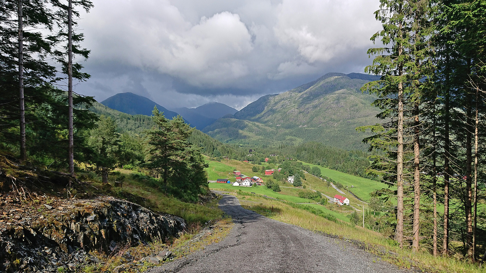
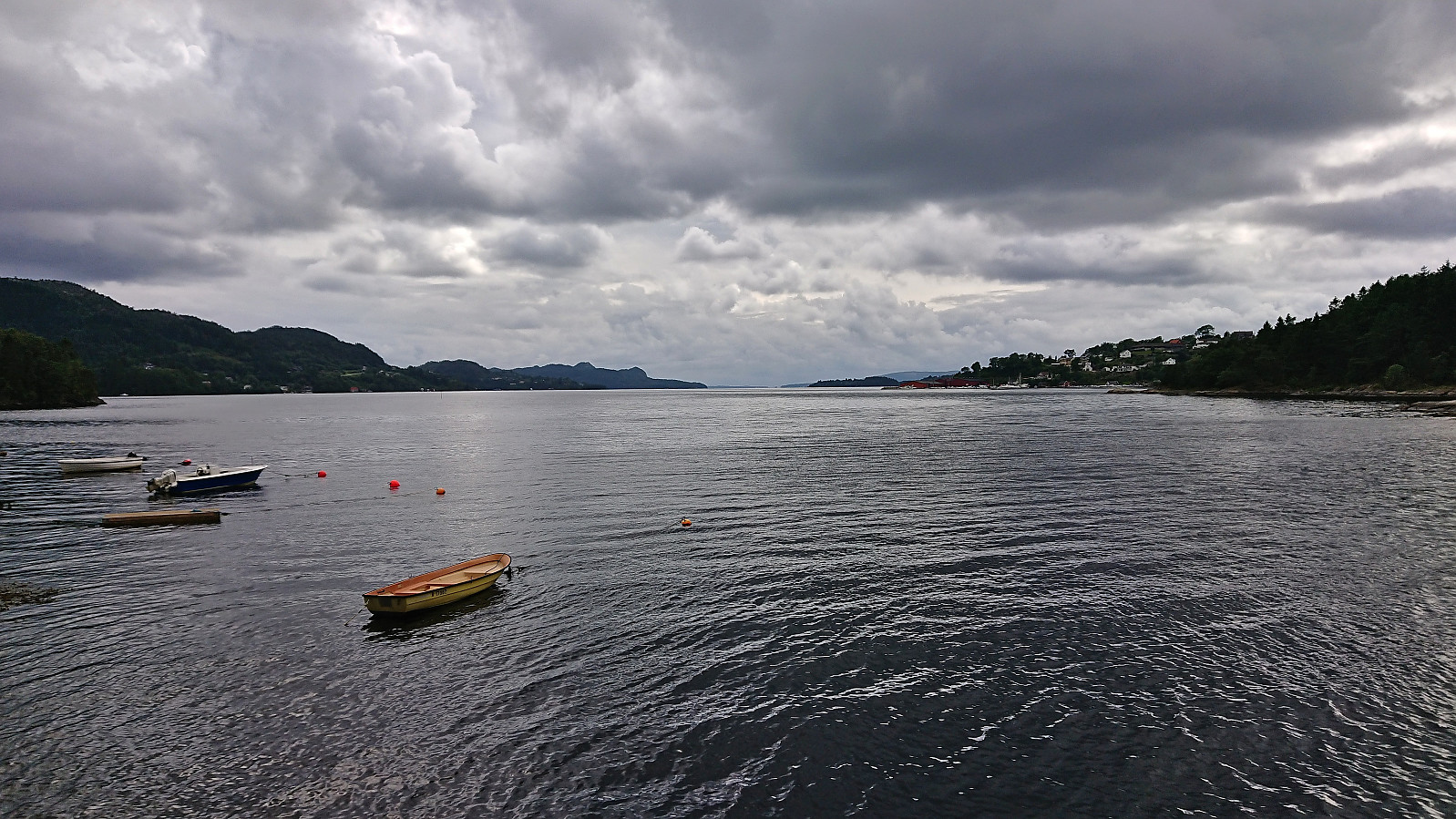
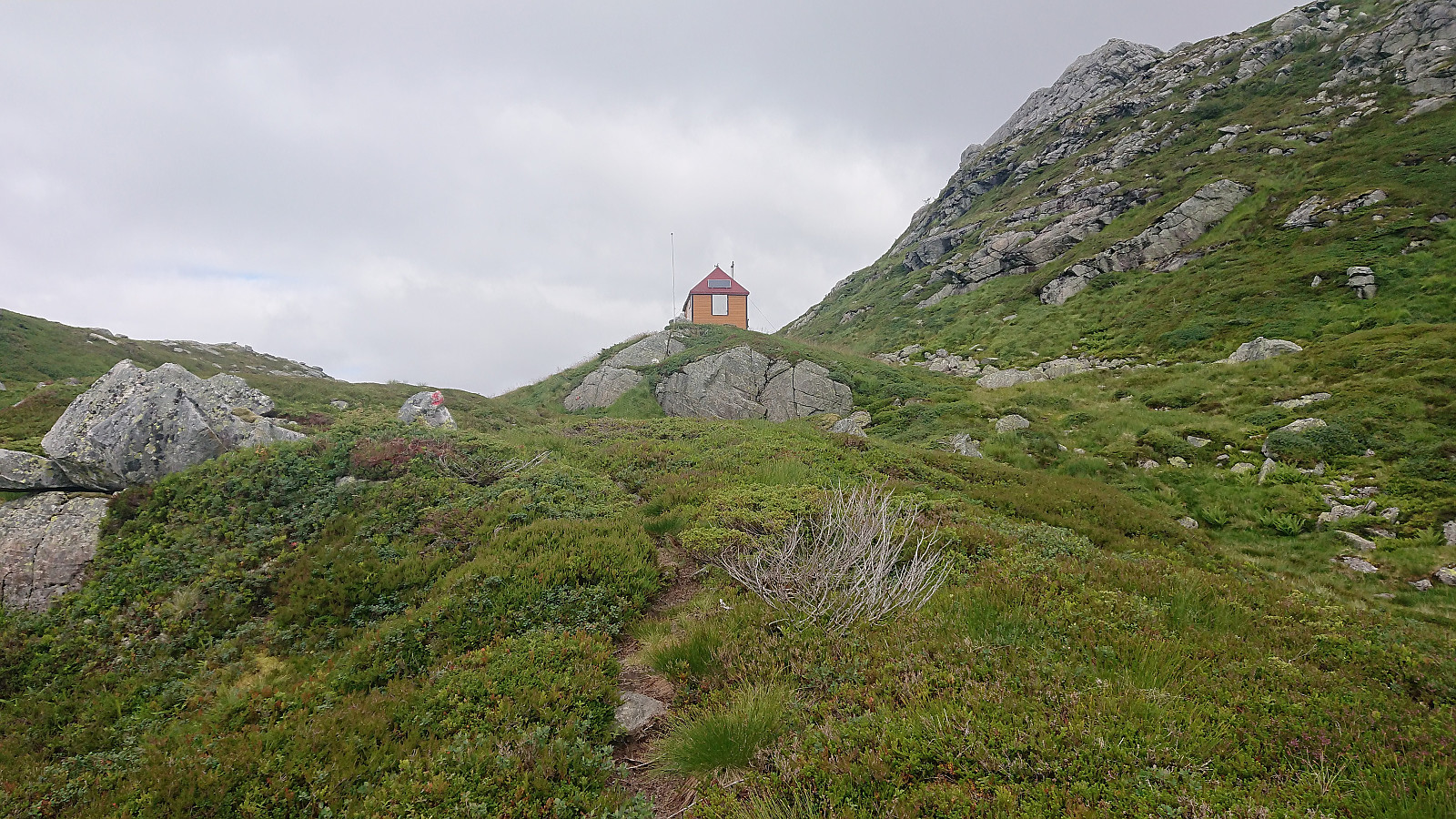 Ever since visiting Øyadalen with two colleagues almost exactly three years ago I had wanted to return to ascend Storfjella and Geitafjella . The main reason for waiting this long is that the Stamnes area is not the most easily accessible by public transport, especially during weekends. For this Friday of my summer holiday I therefore first took the train to Dale and from there the bus to Vikaneset (note: bus stop just called Vik).
After getting off the bus, where I had been the only passenger (which would also be the case for the return trip to Dale), I started ascending north along the paved road up Vikadalen. I had not walked for more than a couple of minutes though before seeing the first sign stating that the road was closed! This brought back bad memories from my failed attempt at ascending Matrenipa three years earlier when a closed road had ruined all of my plans. Thankfully, today the sign turned >>>
Ever since visiting Øyadalen with two colleagues almost exactly three years ago I had wanted to return to ascend Storfjella and Geitafjella . The main reason for waiting this long is that the Stamnes area is not the most easily accessible by public transport, especially during weekends. For this Friday of my summer holiday I therefore first took the train to Dale and from there the bus to Vikaneset (note: bus stop just called Vik).
After getting off the bus, where I had been the only passenger (which would also be the case for the return trip to Dale), I started ascending north along the paved road up Vikadalen. I had not walked for more than a couple of minutes though before seeing the first sign stating that the road was closed! This brought back bad memories from my failed attempt at ascending Matrenipa three years earlier when a closed road had ruined all of my plans. Thankfully, today the sign turned >>>
Furukammen and Helleveien
- Date:
- 26.07.2023
- Characteristic:
- Hike
- Duration:
- 1:05h
- Distance:
- 4.6km
 Short local hike.
Across Hellen festning
- Date:
- 25.07.2023
- Characteristic:
- Hike
- Duration:
- 0:39h
- Distance:
- 3.2km
 Short local hike in light rain.
Across Hellen festning
- Date:
- 24.07.2023
- Characteristic:
- Hike
- Duration:
- 0:38h
- Distance:
- 3.2km
 Short local evening hike.
Saurås søyle
- Date:
- 23.07.2023
- Characteristic:
- Walk
- Duration:
- 0:26h
- Distance:
- 1.5km
 Still very low on energy after two nights of little sleep due to a cold. More ambitious hiking plans were therefore replaced by a quick visit of Saurås søyle . Or at least that was the plan, but just as I got close to the trig marker it suddenly started pouring down and I had to run to find shelter. After waiting for several minutes, I gave up and returned to the bus stop at Åsamyrane. But at least I got close enough to take a picture of the trig marker.
Across Hellen festning
- Date:
- 22.07.2023
- Characteristic:
- Hike
- Duration:
- 0:38h
- Distance:
- 3.2km
 Only a short local hike today after a night of little sleep due to a sore throat.
Stemmedalshaugane from Fjelltveit
- Date:
- 21.07.2023
- Characteristic:
- Hillwalk
- Duration:
- 2:15h
- Distance:
- 7.0km
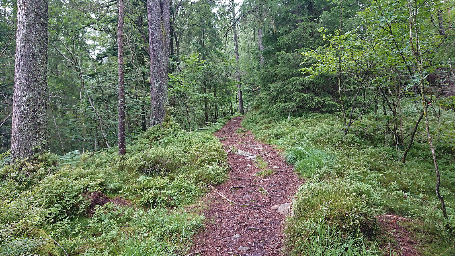
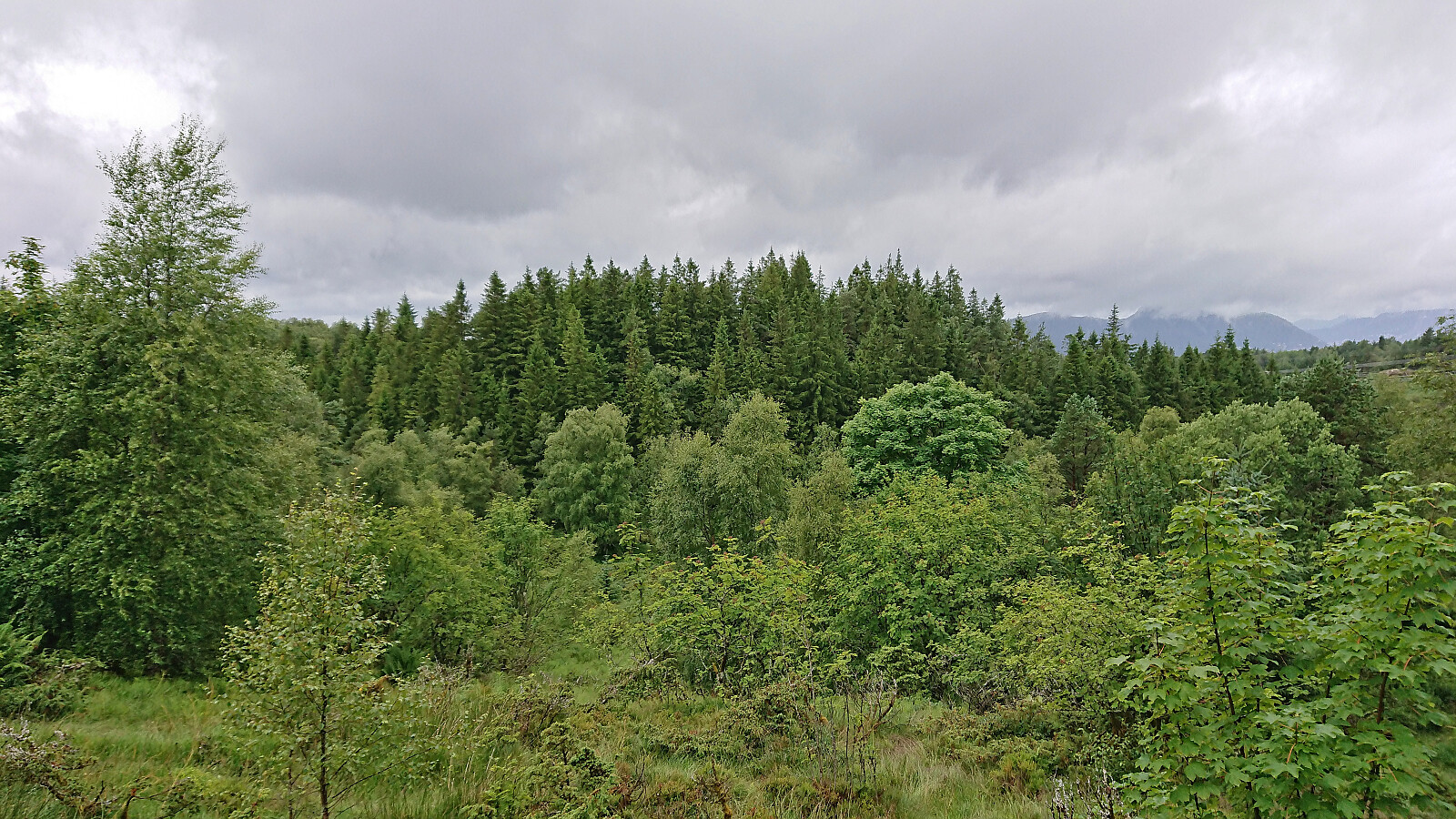
 I took the bus to Fjelltveit in Hauglandsdalen and from there followed a relatively new gravel road up towards Stemmedalshaugane , making sure to include a stop at the excellent views at Smogakampen . Before getting to Frotveitvatnet, I left the gravel road and crossed Frotveitelva via a wooden bridge and continued east along a weak and wet trail to the highest point at Stemmedalshaugane. I had originally considered doing a roundtrip similar to Kjell51 (Kjell Øijorden) (see his trip report here ), but given the wet conditions I instead returned the same way. Interestingly, at the summit I noticed the first red trail markers, red paint on the tree trunks, and for the descent I was actually able to follow these more or less all the way to the bridge.
Litla Langafjellet søyle
- Date:
- 20.07.2023
- Characteristic:
- Hike
- Duration:
- 0:58h
- Distance:
- 4.1km
 On my way home from the trip to Marietoppen I made a short stop in Fjøsanger for a visit of Litla Langafjellet søyle . It could be easily reached via a trail crossing over the small hill. Afterwards I continued northeast to Kristianborg before taking Bybanen to the Bergen city center.
Marietoppen
- Date:
- 20.07.2023
- Characteristic:
- Hike
- Duration:
- 1:08h
- Distance:
- 4.0km
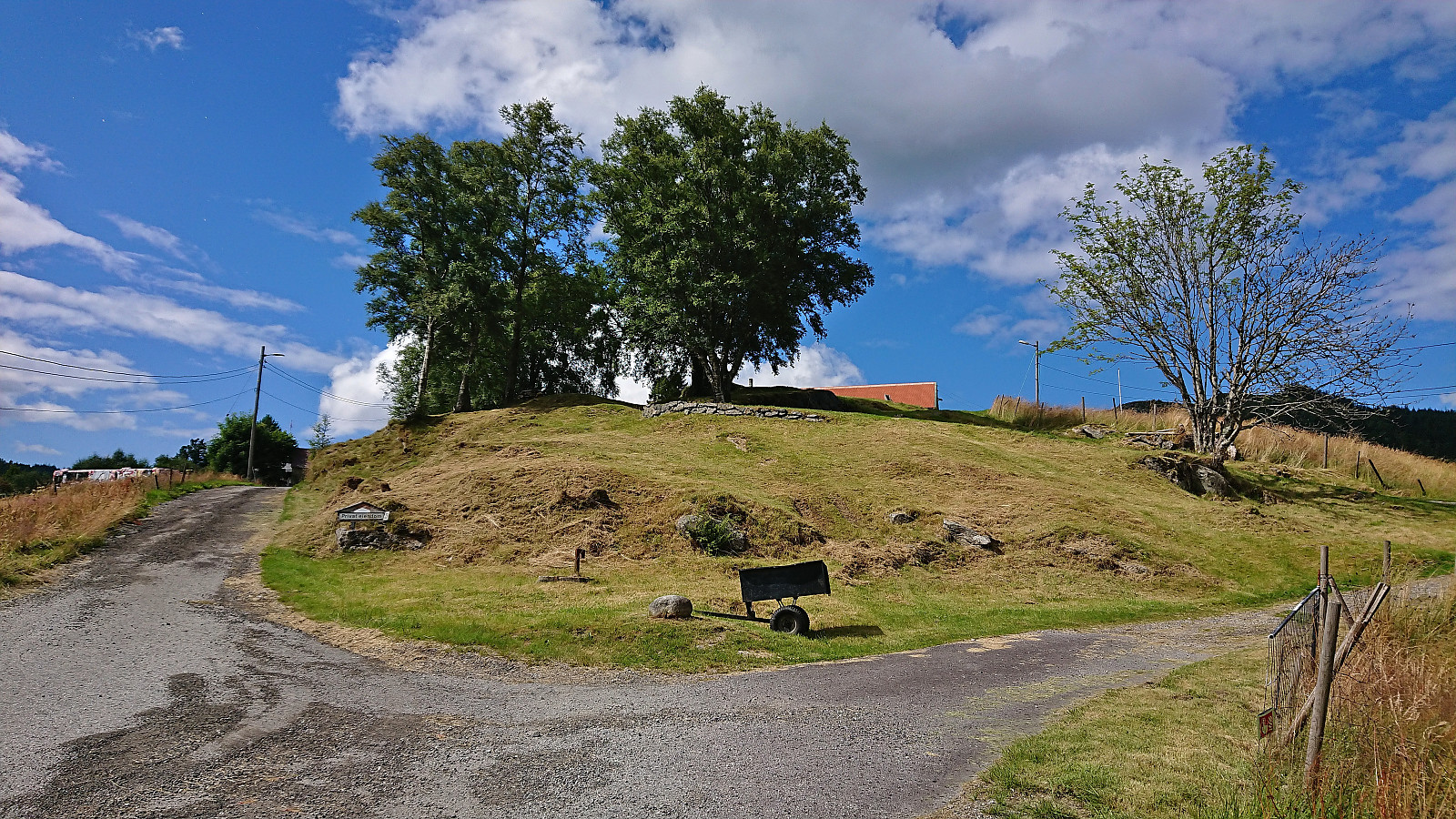
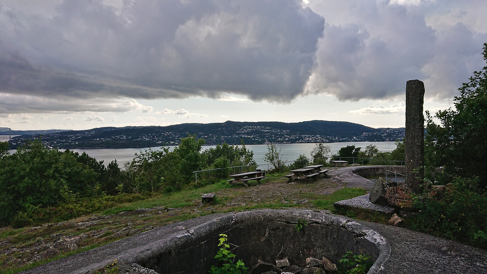
 Short hike in Fana with the main objective of visiting Marietoppen . Limited views from the summit but lots of traces from World War II . The summit area could be reached from the south without any trespassing. After descending the same way I continued north along Fanafjorden.
Smøråsfjellet
- Date:
- 17.07.2023
- Characteristic:
- Hillwalk
- Duration:
- 2:34h
- Distance:
- 9.1km
 A return to Smøråsfjellet to visit Bjørnevasskletten . When in the area I also passed by Storhaugen, Litlafjellet and Revhaugen, in addition to a revisit of Hamrefjellet , just in case any of these will be added as their own PB-elements in the future. Missed the bus at Valle by a couple of minutes and ended up walking to the Bybane stop at Skjoldskiftet.
