Archive - Date
Archive - Activity
-
Bike trip (108)
- Bike trip - mixed (25)
- Bike trip - road (83)
-
Drive (9)
- Car drive (9)
-
Other trip (3)
- Kayaking (3)
-
Ski trip (109)
- Backcountry skiing (65)
- Cross-country skiing (44)
- Trip by foot (1782)
Collected lists
-
Voss ≥ 100m pf.
(96/98)
 97%
97% -
Opptur Hordaland
(143/159)
89%
-
Stasjoner på Bergensbanen
(31/40)
77%
-
Ulvik ≥ 100m pf.
(28/38)
73%
-
Hordaland ≥ 100m pf.
(613/863)
71%
-
Mjølfjell PF > 100m
(21/31)
67%
-
Jondal ≥ 100m pf.
(15/23)
65%
-
Sunnhordland PF >= 100m
(104/186)
55%
-
Dagsturhyttene i Vestland
(33/61)
54%
-
Hordaland: Hardanger PF>=100m
(186/359)
51%
-
Kvinnherad ≥ 100m pf.
(40/79)
50%
-
DNT-hytter i Hordaland
(22/45)
48%
-
Sogndal ≥ 100m pf.
(23/81)
28%
-
Vik i Sogn ≥ 100m pf.
(8/46)
17%
-
DNT-hytter i Sogn og Fjordane
(8/47)
17%
-
Eidfjord ≥ 100m pf.
(7/42)
16%
-
Etne ≥ 100m pf.
(7/51)
13%
-
Ullensvang ≥ 100m pf.
(21/153)
13%
-
Sogn - Sør for Sognefjorden PF>=100m
(17/159)
10%
-
Opptur i Sogn og Fjordane peaks
(17/177)
9%

Kyststien Strandvegen
- Date:
- 24.05.2023
- Characteristic:
- Walk
- Duration:
- 0:55h
- Distance:
- 3.7km
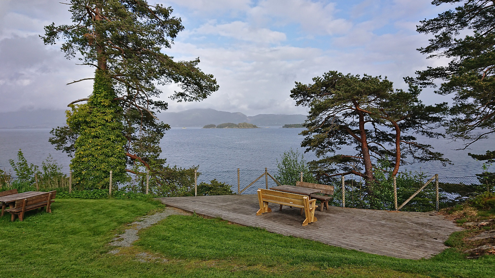 After last year's successful hike to Moldaneset as part of a two-day conference at Solstrand , I was again asked to organize a short walk when we now returned a year later. Given that the break before dinner was slightly shorter this time around we headed southwest from the hotel to cover the rest of Kyststien Strandvegen . To make the walk into a roundtrip, we first followed the main road towards Osøyro before returning along the gravel road to the hotel, including a small detour to Haugsneset. Overall, a nice short walk that can be recommended if at Solstrand and having some spare time.
Ørneberget and Furukammen
- Date:
- 21.05.2023
- Characteristic:
- Hillwalk
- Duration:
- 0:52h
- Distance:
- 4.0km
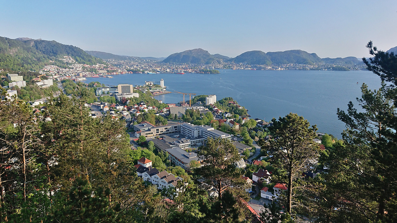 Short local hike after yesterday's long skiing trip.
Hellemyrstien, Skredderdalen and Hellen festning
- Date:
- 18.05.2023
- Characteristic:
- Hike
- Duration:
- 3:38h
- Distance:
- 13.3km
 Due to a late worsening of the weather forecast, I postponed my initial hiking plans in Fusa and instead opted for a more local hike. In the end, the rain did not begin until after I had arrived home anyway and I am pretty sure I could have completed most of the planned hike without getting too wet.
Across Hellen festning
- Date:
- 17.05.2023
- Characteristic:
- Hike
- Duration:
- 0:33h
- Distance:
- 3.2km
 Short local evening hike.
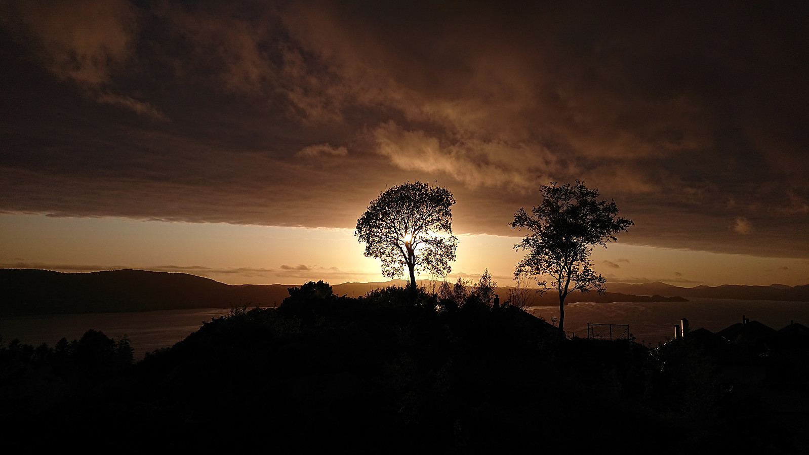
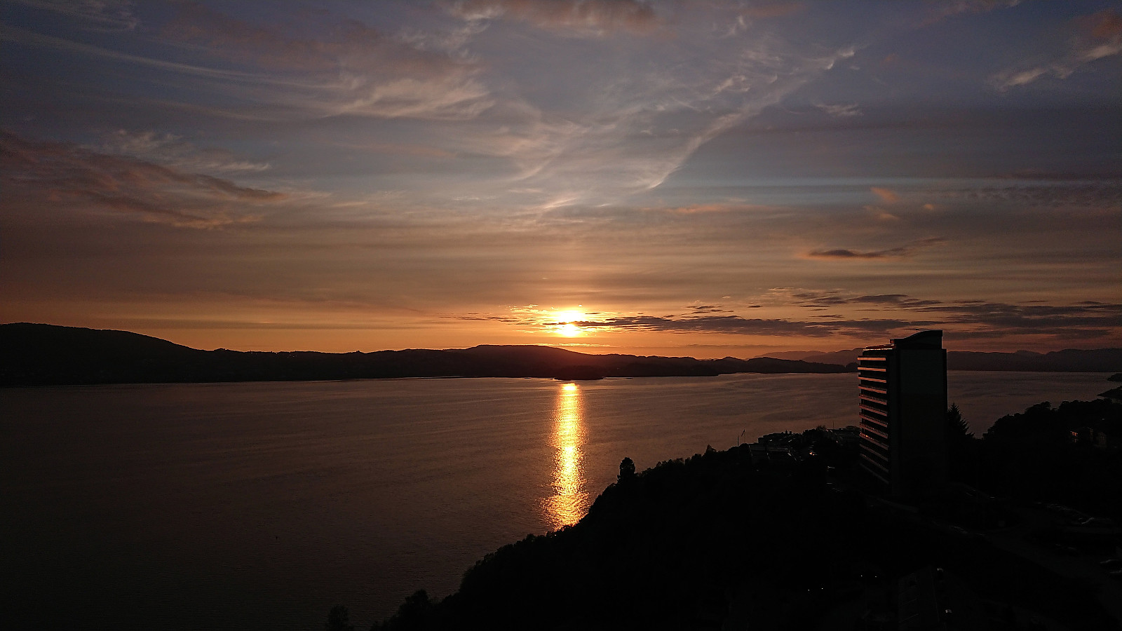
Across Hellen festning
- Date:
- 15.05.2023
- Characteristic:
- Hike
- Duration:
- 0:45h
- Distance:
- 3.7km
 Short local evening hike.
Fjellveien
- Date:
- 14.05.2023
- Characteristic:
- Hike
- Duration:
- 1:25h
- Distance:
- 7.3km
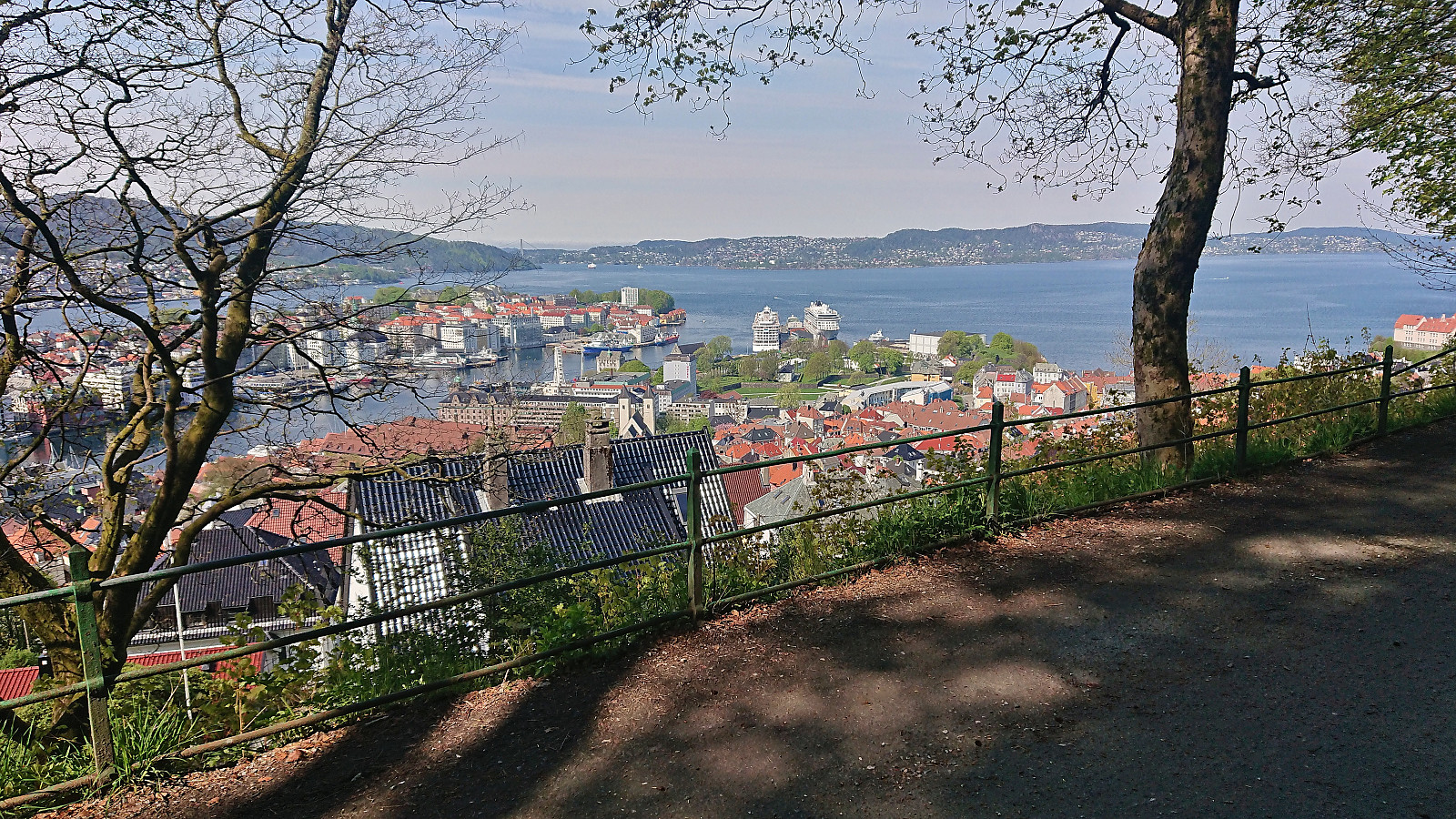 Only a short walk in Fjellveien today after spending most of yesterday on a skiing trip to Øykjafonn and Skipanuten .
Across Hellen festning
- Date:
- 11.05.2023
- Characteristic:
- Hike
- Duration:
- 0:35h
- Distance:
- 3.1km
 Short local evening hike.
Vardafjellet and Dalstuva
- Date:
- 07.05.2023
- Characteristic:
- Hillwalk
- Duration:
- 3:44h
- Distance:
- 9.4km
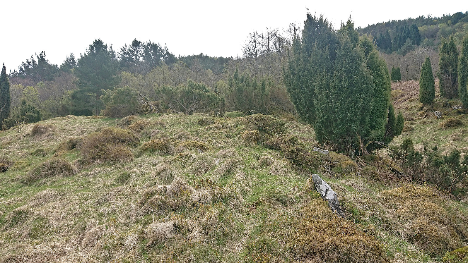
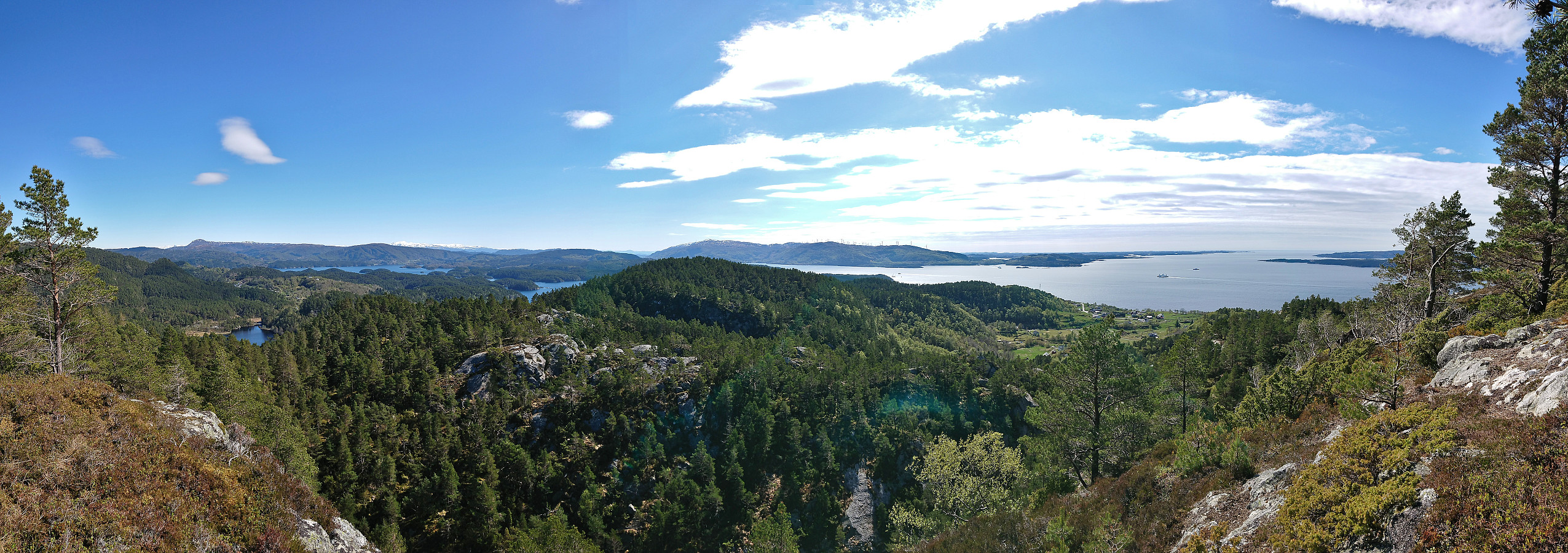 After leaving my bike behind at the trailhead for the roundtrip of Frøkjedalsvatnet, I followed the marked trail north along the lake before heading off-trail for the final 500 meters to the summit of Vardafjellet . The terrain was overall easy to traverse, but there were also areas with lots of moss-covered rocks with small gaps between them such that one had to tread carefully. Closer to the summit the terrain turned steeper and there were more trees and bushes to navigate around, but overall the summit was reached without any real issues.
Two large old cairns at the Vardafjellet summit, however the actual summit is most likely the area around the tree just behind the largest cairn. The views from the summit where somewhat obscured by trees, but just a couple of meters to the south there were excellent views towards the south.
From the summit >>>
After leaving my bike behind at the trailhead for the roundtrip of Frøkjedalsvatnet, I followed the marked trail north along the lake before heading off-trail for the final 500 meters to the summit of Vardafjellet . The terrain was overall easy to traverse, but there were also areas with lots of moss-covered rocks with small gaps between them such that one had to tread carefully. Closer to the summit the terrain turned steeper and there were more trees and bushes to navigate around, but overall the summit was reached without any real issues.
Two large old cairns at the Vardafjellet summit, however the actual summit is most likely the area around the tree just behind the largest cairn. The views from the summit where somewhat obscured by trees, but just a couple of meters to the south there were excellent views towards the south.
From the summit >>>
Snilstveitøy: Veten and Eidsvikåsen
- Date:
- 06.05.2023
- Characteristic:
- Hillwalk
- Duration:
- 3:23h
- Distance:
- 12.5km
 Last fall I figured out that it ought to be possible to use the high-speed passenger ferry from Bergen to Rosendal to visit both summits at Snilstveitøy in one hike. This however depended on the ferry's summer timetable and I did not manage try before it was too late. Half a year later it was now finally time to test if the plan could be executed successfully. I started by taking the ferry from Bergen to Snilstveitøy, although I almost ended up at Rosendal as the crew had forgotten that I was supposed to get off at Snilstveitøy (as the only passenger doing so). Thankfully I was able to inform them in time and a quick U-turn took care of the problem.
At Snilstveitøy, I followed the gravel road west and soon came across the first sign for Veten . 200 meters later I arrived at the marked trailhead. >>>
Last fall I figured out that it ought to be possible to use the high-speed passenger ferry from Bergen to Rosendal to visit both summits at Snilstveitøy in one hike. This however depended on the ferry's summer timetable and I did not manage try before it was too late. Half a year later it was now finally time to test if the plan could be executed successfully. I started by taking the ferry from Bergen to Snilstveitøy, although I almost ended up at Rosendal as the crew had forgotten that I was supposed to get off at Snilstveitøy (as the only passenger doing so). Thankfully I was able to inform them in time and a quick U-turn took care of the problem.
At Snilstveitøy, I followed the gravel road west and soon came across the first sign for Veten . 200 meters later I arrived at the marked trailhead. >>>
Across Hellen festning
- Date:
- 04.05.2023
- Characteristic:
- Hike
- Duration:
- 0:40h
- Distance:
- 3.6km
 Short local evening hike.
