Archive - Date
Archive - Activity
-
Bike trip (108)
- Bike trip - mixed (25)
- Bike trip - road (83)
-
Drive (9)
- Car drive (9)
-
Other trip (3)
- Kayaking (3)
-
Ski trip (109)
- Backcountry skiing (65)
- Cross-country skiing (44)
- Trip by foot (1782)
Collected lists
-
Voss ≥ 100m pf.
(96/98)
 97%
97% -
Opptur Hordaland
(143/159)
89%
-
Stasjoner på Bergensbanen
(31/40)
77%
-
Ulvik ≥ 100m pf.
(28/38)
73%
-
Hordaland ≥ 100m pf.
(613/863)
71%
-
Mjølfjell PF > 100m
(21/31)
67%
-
Jondal ≥ 100m pf.
(15/23)
65%
-
Sunnhordland PF >= 100m
(104/186)
55%
-
Dagsturhyttene i Vestland
(33/61)
54%
-
Hordaland: Hardanger PF>=100m
(186/359)
51%
-
Kvinnherad ≥ 100m pf.
(40/79)
50%
-
DNT-hytter i Hordaland
(22/45)
48%
-
Sogndal ≥ 100m pf.
(23/81)
28%
-
Vik i Sogn ≥ 100m pf.
(8/46)
17%
-
DNT-hytter i Sogn og Fjordane
(8/47)
17%
-
Eidfjord ≥ 100m pf.
(7/42)
16%
-
Etne ≥ 100m pf.
(7/51)
13%
-
Ullensvang ≥ 100m pf.
(21/153)
13%
-
Sogn - Sør for Sognefjorden PF>=100m
(17/159)
10%
-
Opptur i Sogn og Fjordane peaks
(17/177)
9%

Roundtrip to the four summits north of Storavatnet
- Date:
- 13.11.2021
- Characteristic:
- Hillwalk
- Duration:
- 7:37h
- Distance:
- 19.1km
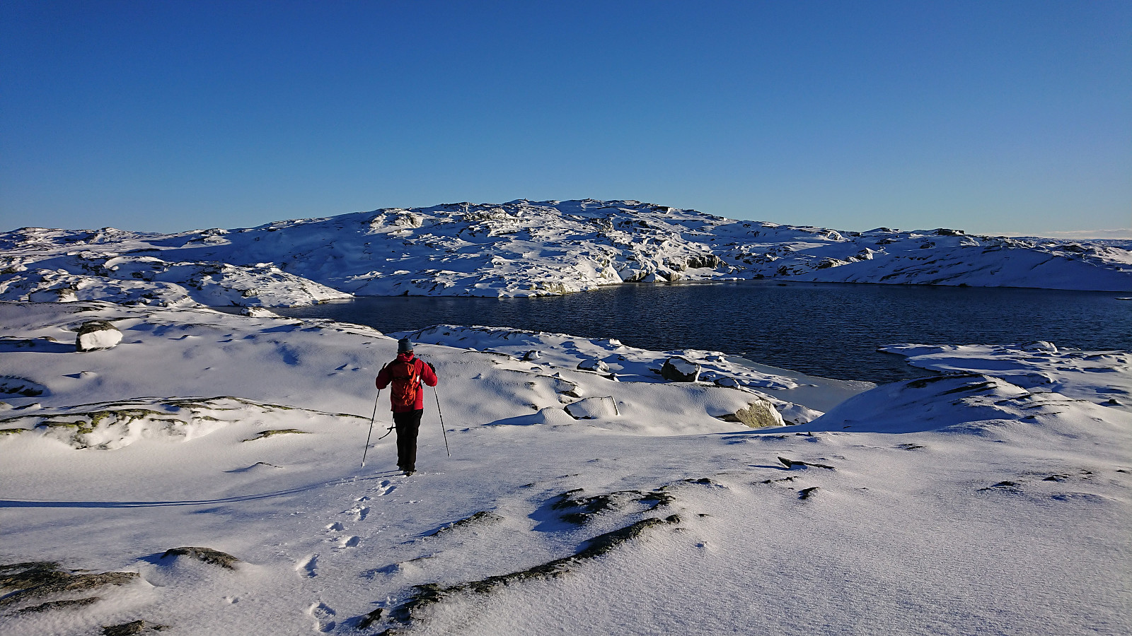 Another hike with petter (Petter Bjørstad) , this time in the area north of Storavatnet in Masfjorden. Our goal was to make a roundtrip that included all of the four summits north of the lake. First up was Inste Kvitevasseggene . We parked next to the cabin Engleberget right beside the road at the southwestern end of Storavatnet and from there started our off-trail ascent. Shortly we however came across a trail marked by small cairns that we partly followed before again simply heading straight for the top. A bit of snow, but a lot less than what we had anticipated. Reaching the summit of Inste Kvitevasseggene requited a bit of scrambling at the end, but this can most likely be avoided by a short detour.
From Inste Kvitevasseggene, our plan was to head directly north to Storhogen . The terrain here turned out to be slightly trickier than what we had >>>
Another hike with petter (Petter Bjørstad) , this time in the area north of Storavatnet in Masfjorden. Our goal was to make a roundtrip that included all of the four summits north of the lake. First up was Inste Kvitevasseggene . We parked next to the cabin Engleberget right beside the road at the southwestern end of Storavatnet and from there started our off-trail ascent. Shortly we however came across a trail marked by small cairns that we partly followed before again simply heading straight for the top. A bit of snow, but a lot less than what we had anticipated. Reaching the summit of Inste Kvitevasseggene requited a bit of scrambling at the end, but this can most likely be avoided by a short detour.
From Inste Kvitevasseggene, our plan was to head directly north to Storhogen . The terrain here turned out to be slightly trickier than what we had >>>
Skarpefjellet and Torhaugen from Kjetland/Storemyr
- Date:
- 07.11.2021
- Characteristic:
- Hillwalk
- Duration:
- 6:04h
- Distance:
- 12.4km
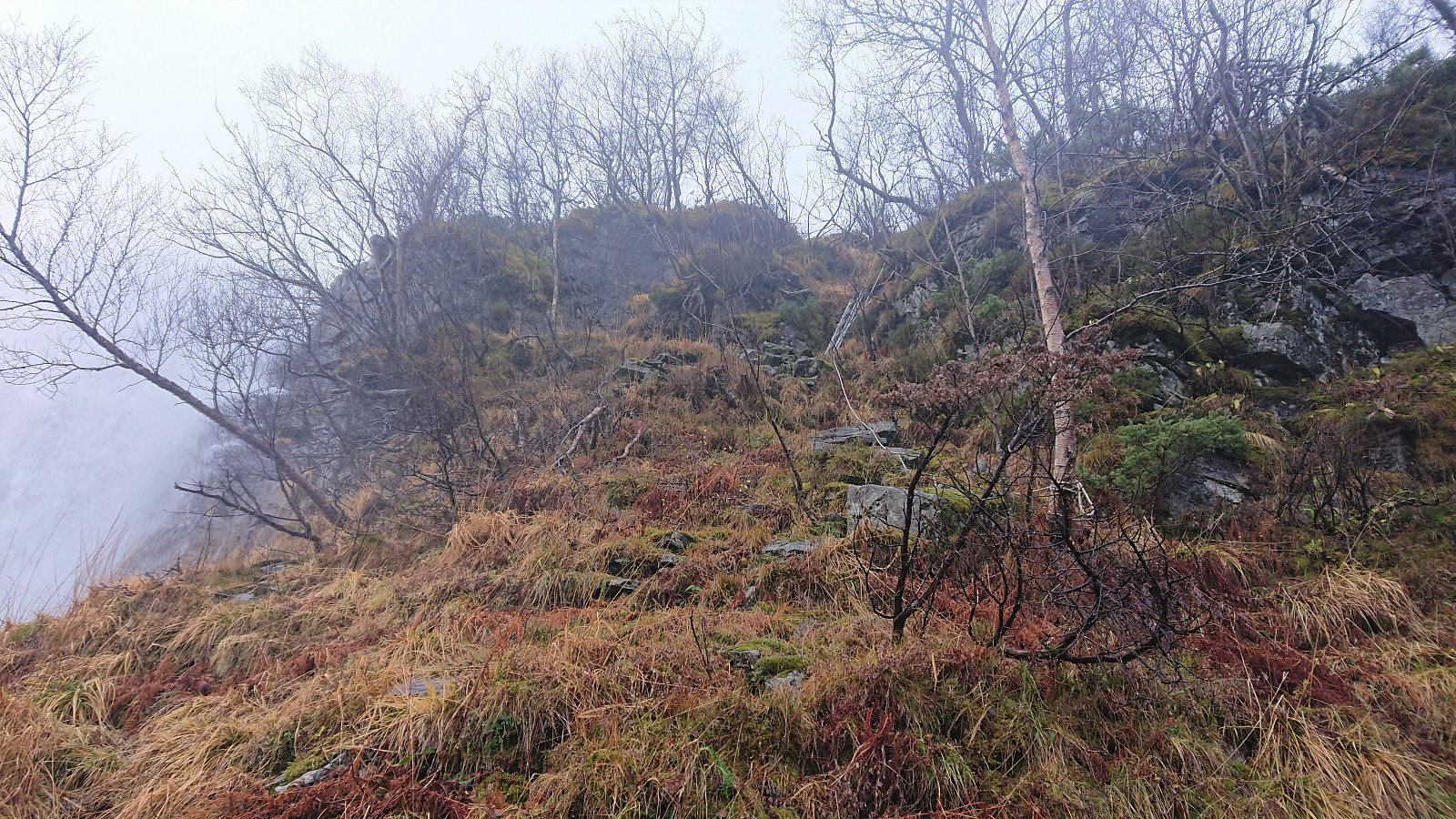 My first joint hike with long-time colleague and very experienced hiker Petter (see his external web page for an overview of his extensive hiking and climbing experience and lots of external hiking reports). Initially we had decided on a hike to Skarpefjellet and Blåfjellet , but upon closer inspection we both concluded that Blåfjellet only has a primary factor of maximum 99. The plans were therefore changed to first ascend Skarpefjellet and from there see whether we would also have the time to include Torhaugen instead.
During the drive from Bergen it had rained quite heavily, but thankfully the rain more or less stopped as we arrived at Kjetland where we easily located a spot next to the road where we could park the car without hindering other vehicles (same as the one used by previous hikers). The fact that the rain had now almost ended would however not mean that we would >>>
My first joint hike with long-time colleague and very experienced hiker Petter (see his external web page for an overview of his extensive hiking and climbing experience and lots of external hiking reports). Initially we had decided on a hike to Skarpefjellet and Blåfjellet , but upon closer inspection we both concluded that Blåfjellet only has a primary factor of maximum 99. The plans were therefore changed to first ascend Skarpefjellet and from there see whether we would also have the time to include Torhaugen instead.
During the drive from Bergen it had rained quite heavily, but thankfully the rain more or less stopped as we arrived at Kjetland where we easily located a spot next to the road where we could park the car without hindering other vehicles (same as the one used by previous hikers). The fact that the rain had now almost ended would however not mean that we would >>>
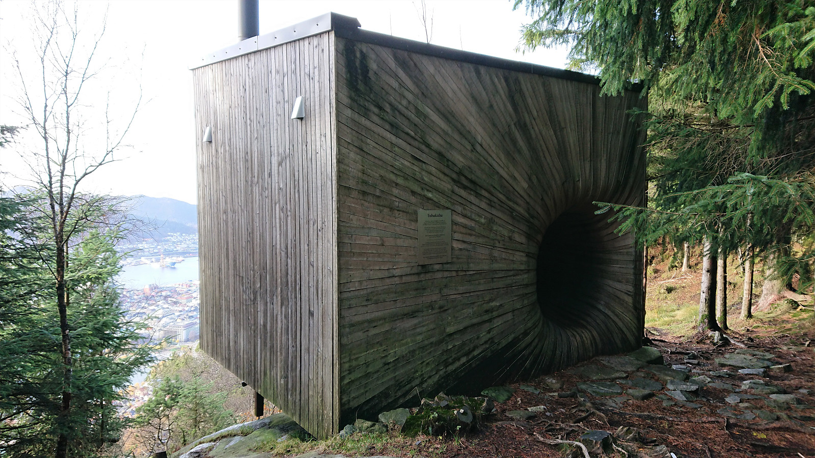
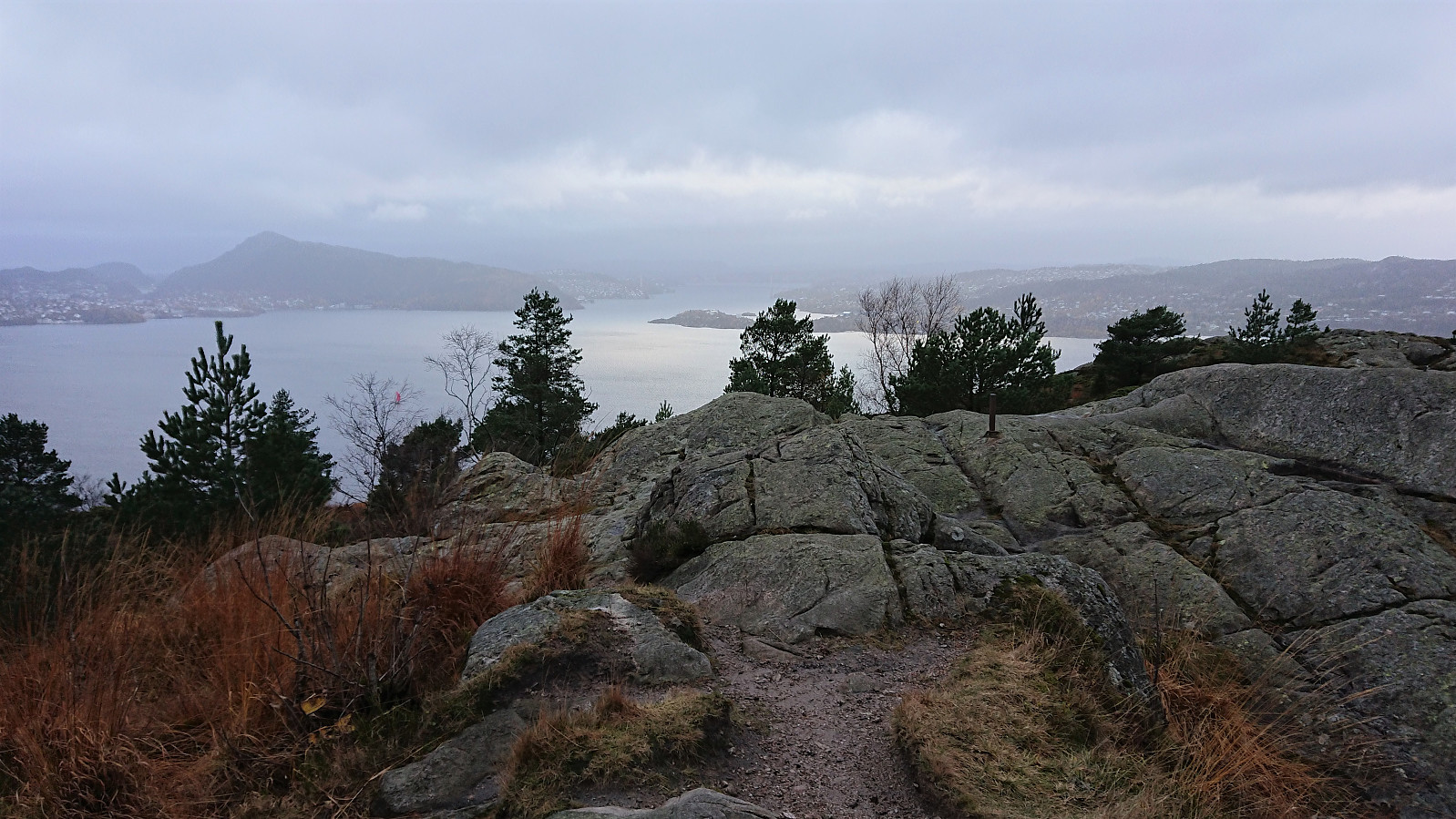
Across Hellen festning
- Date:
- 06.11.2021
- Characteristic:
- Hike
- Duration:
- 0:35h
- Distance:
- 3.1km
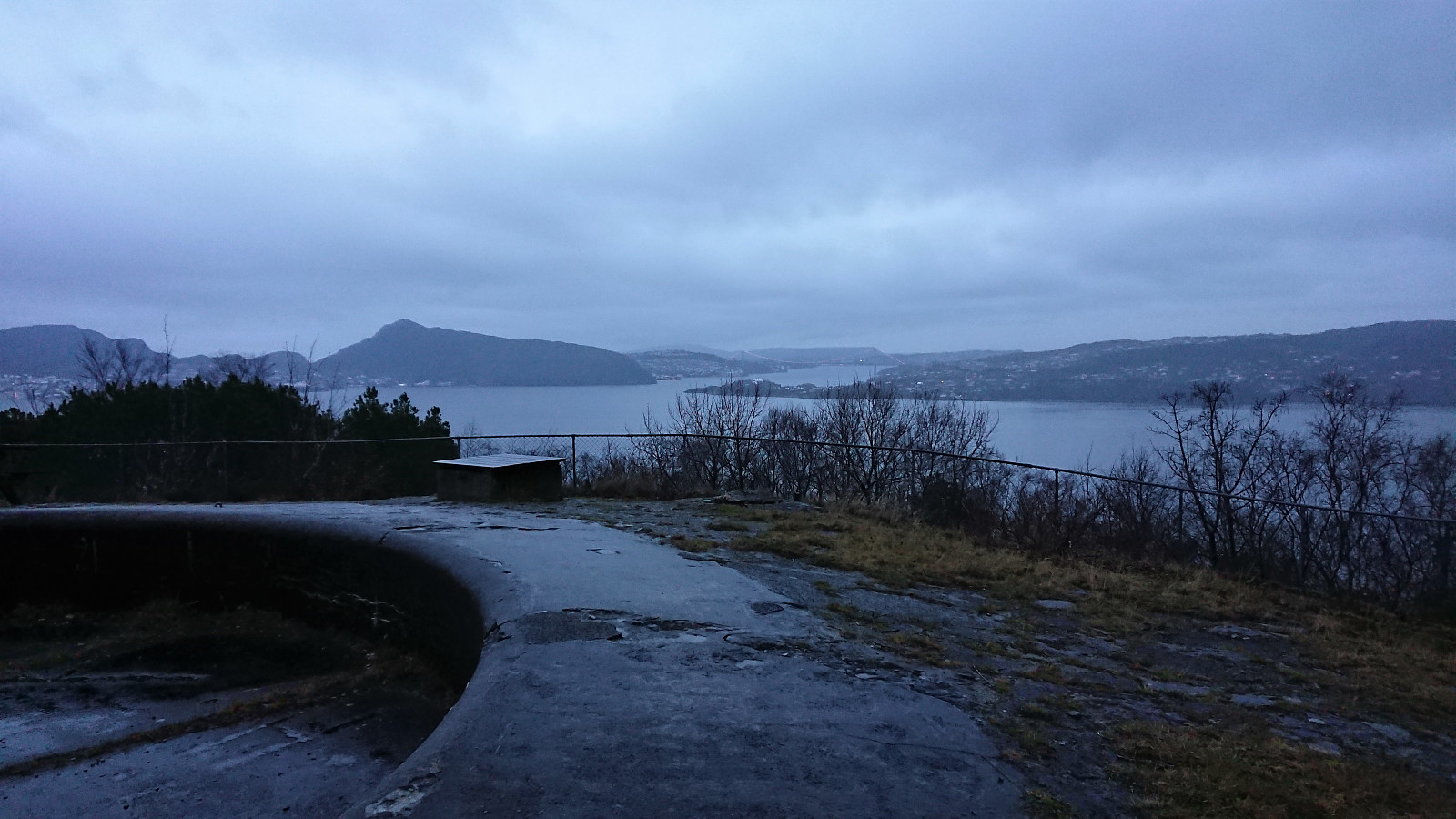 Short local hike one gray and wet Saturday.
Gravdalshorga from Gravdal
- Date:
- 31.10.2021
- Characteristic:
- Hillwalk
- Duration:
- 3:57h
- Distance:
- 10.2km
 I started by taking the bus from Bergen to Gravdal and got off at the bus stop called "Gravdal sør, Kvam". From there I pretty much followed in the footsteps of previous PB-hikers to Gravdalshorga , and could thus take advantage of their efforts at finding the best route.
After passing the last houses at the end of Gravdalsvegen, I continued on a tractor road taking me to an unmarked trail following the river up to the unnamed cabin at the northeastern end of Sakresvatn. While the trailhead was unmarked, the trail itself was relatively easy to follow.
As I arrived at the cabin, I however noticed that this was an unnecessary detour and that I should rather have stayed on the south side of the stream (see the return route). But after finding a place to cross the stream I was shortly back on track >>>
I started by taking the bus from Bergen to Gravdal and got off at the bus stop called "Gravdal sør, Kvam". From there I pretty much followed in the footsteps of previous PB-hikers to Gravdalshorga , and could thus take advantage of their efforts at finding the best route.
After passing the last houses at the end of Gravdalsvegen, I continued on a tractor road taking me to an unmarked trail following the river up to the unnamed cabin at the northeastern end of Sakresvatn. While the trailhead was unmarked, the trail itself was relatively easy to follow.
As I arrived at the cabin, I however noticed that this was an unnecessary detour and that I should rather have stayed on the south side of the stream (see the return route). But after finding a place to cross the stream I was shortly back on track >>>
Fjellveien, Fløyen and Brushytten
- Date:
- 30.10.2021
- Characteristic:
- Hike
- Duration:
- 2:52h
- Distance:
- 14.5km
 Saturday hike from Munkebotn to Lønborg via Fjellveien, Fløyen and Brushytten.
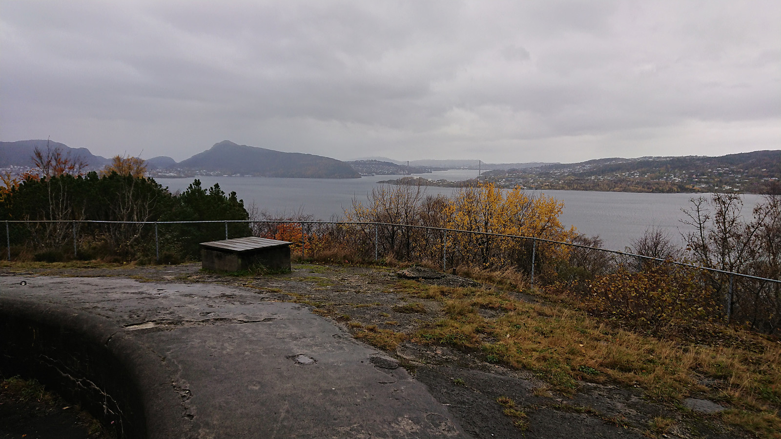
Hellen festning and Furukammen
- Date:
- 29.10.2021
- Characteristic:
- Hike
- Duration:
- 1:16h
- Distance:
- 4.9km
 Short local hike after work.
Ørneberget and Furukammen
- Date:
- 27.10.2021
- Characteristic:
- Hillwalk
- Duration:
- 0:52h
- Distance:
- 4.0km
 Short local hike after work.
Hellen festning and Furukammen
- Date:
- 24.10.2021
- Characteristic:
- Hike
- Duration:
- 1:20h
- Distance:
- 4.5km
 Short local hike on a gray and wet Sunday.
Toppfjellet from Eide
- Date:
- 23.10.2021
- Characteristic:
- Hillwalk
- Duration:
- 4:42h
- Distance:
- 10.9km
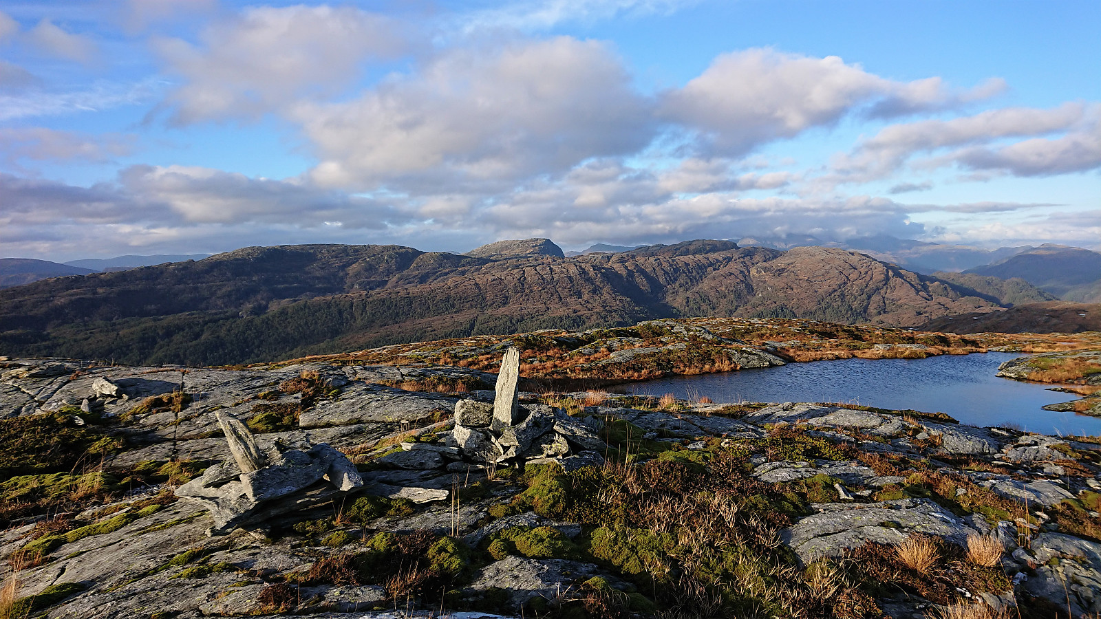
 It is not often that one gets to be among the first three registered visits for a summit on the Hordaland ≥ 100m pf. list, but given that Toppfjellet in Modalen only had two previous visits this should be possible. The most recent visit was by Runemb (Rune Blomberg) back in 2013, and thanks to his report I did not have to plan much to find the best route.
After taking the train to Dale and then the bus to Eide, I located the marked trailhead and started on a trail marked with a combination of red paint and red plastic tubes. Note that while the trailhead was marked, it may not be the easiest to spot from the main road. There were however signs for both Eidsstølen and Brørvik within the first couple of meters. While the route was clearly marked, the trail itself was often more difficult to spot. The fact that the trail was soon covered by snow did not help either of course. >>>
It is not often that one gets to be among the first three registered visits for a summit on the Hordaland ≥ 100m pf. list, but given that Toppfjellet in Modalen only had two previous visits this should be possible. The most recent visit was by Runemb (Rune Blomberg) back in 2013, and thanks to his report I did not have to plan much to find the best route.
After taking the train to Dale and then the bus to Eide, I located the marked trailhead and started on a trail marked with a combination of red paint and red plastic tubes. Note that while the trailhead was marked, it may not be the easiest to spot from the main road. There were however signs for both Eidsstølen and Brørvik within the first couple of meters. While the route was clearly marked, the trail itself was often more difficult to spot. The fact that the trail was soon covered by snow did not help either of course. >>>
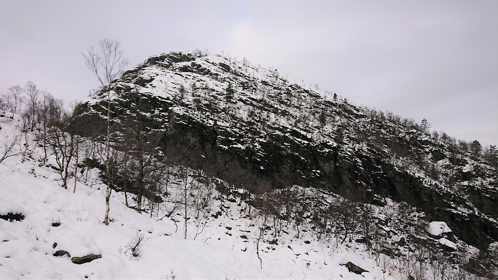
Klyvsnolten and Lauvhovden
- Date:
- 19.10.2021
- Characteristic:
- Hillwalk
- Duration:
- 3:02h
- Distance:
- 8.2km
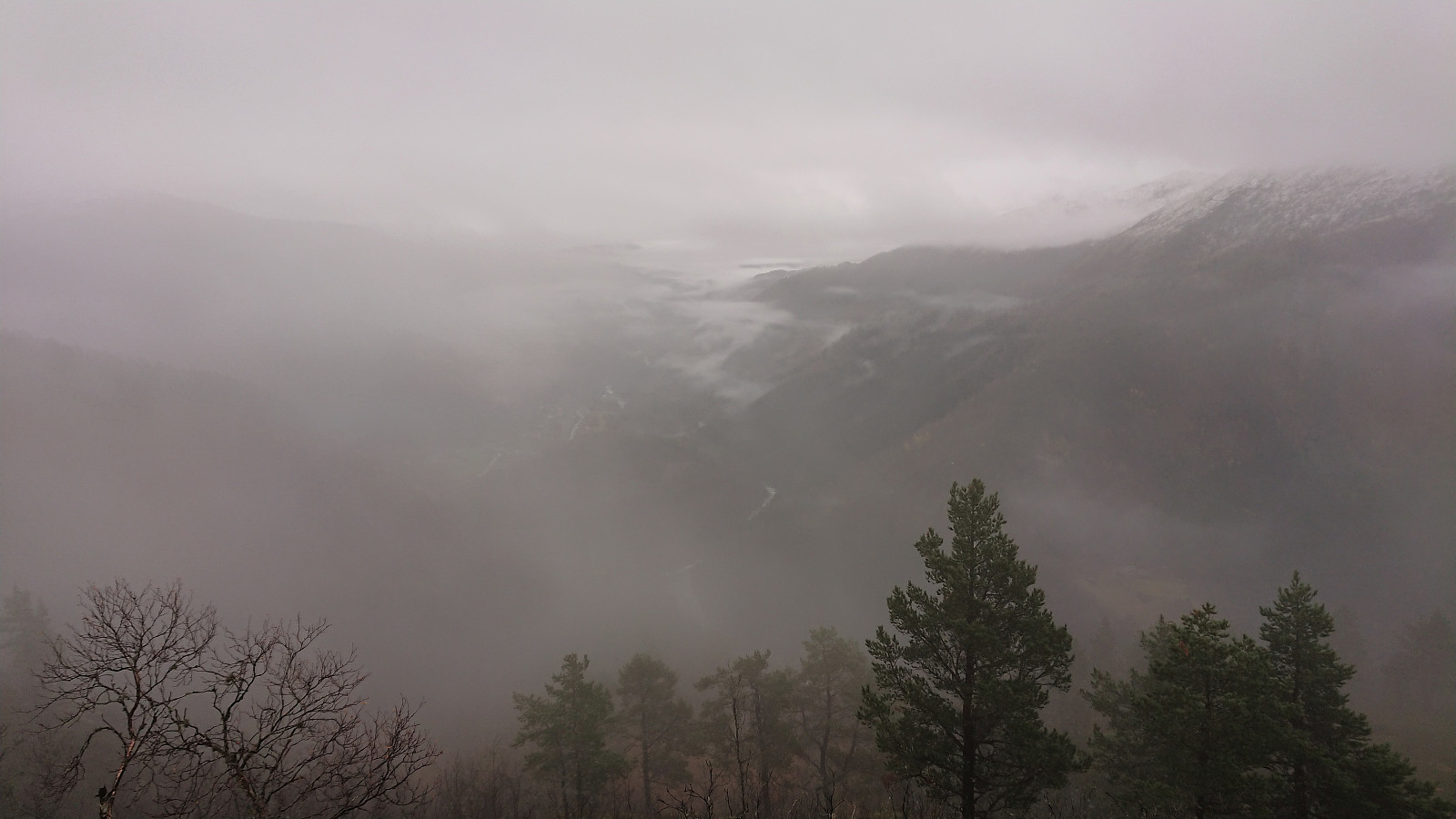 After a two-day meeting at Voss ended after lunch, I managed to convince my colleague HHauser (Helwig Hauser) to go hiking even though the weather forecast looked less than promising. Prepared to get pretty wet and not expecting much in terms of views along the way, we settled on a roundtrip including both Klyvsnolten and Lauvhovden .
We parked besides the gravel road up to Øvre Klyve, returned to the main road and followed it east for 400 meters before heading up a tractor road that Helwig had found when studying the map back at the hotel. The plan was to follow this tractor road until it ended and from there reach a trail stub indicated on the map south of Klyvesnolten.
The tractor road, which seemingly had not been used in a long time, actually continued further than what is indicated on the map, and when it came to an end there was >>>
After a two-day meeting at Voss ended after lunch, I managed to convince my colleague HHauser (Helwig Hauser) to go hiking even though the weather forecast looked less than promising. Prepared to get pretty wet and not expecting much in terms of views along the way, we settled on a roundtrip including both Klyvsnolten and Lauvhovden .
We parked besides the gravel road up to Øvre Klyve, returned to the main road and followed it east for 400 meters before heading up a tractor road that Helwig had found when studying the map back at the hotel. The plan was to follow this tractor road until it ended and from there reach a trail stub indicated on the map south of Klyvesnolten.
The tractor road, which seemingly had not been used in a long time, actually continued further than what is indicated on the map, and when it came to an end there was >>>
