Archive - Date
Archive - Activity
-
Bike trip (108)
- Bike trip - mixed (25)
- Bike trip - road (83)
-
Drive (9)
- Car drive (9)
-
Other trip (3)
- Kayaking (3)
-
Ski trip (109)
- Backcountry skiing (65)
- Cross-country skiing (44)
- Trip by foot (1782)
Collected lists
-
Voss ≥ 100m pf.
(96/98)
 97%
97% -
Opptur Hordaland
(143/159)
89%
-
Stasjoner på Bergensbanen
(31/40)
77%
-
Ulvik ≥ 100m pf.
(28/38)
73%
-
Hordaland ≥ 100m pf.
(613/863)
71%
-
Mjølfjell PF > 100m
(21/31)
67%
-
Jondal ≥ 100m pf.
(15/23)
65%
-
Sunnhordland PF >= 100m
(104/186)
55%
-
Dagsturhyttene i Vestland
(33/61)
54%
-
Hordaland: Hardanger PF>=100m
(186/359)
51%
-
Kvinnherad ≥ 100m pf.
(40/79)
50%
-
DNT-hytter i Hordaland
(22/45)
48%
-
Sogndal ≥ 100m pf.
(23/81)
28%
-
Vik i Sogn ≥ 100m pf.
(8/46)
17%
-
DNT-hytter i Sogn og Fjordane
(8/47)
17%
-
Eidfjord ≥ 100m pf.
(7/42)
16%
-
Etne ≥ 100m pf.
(7/51)
13%
-
Ullensvang ≥ 100m pf.
(21/153)
13%
-
Sogn - Sør for Sognefjorden PF>=100m
(17/159)
10%
-
Opptur i Sogn og Fjordane peaks
(17/177)
9%

Kyrkjehovda
- Date:
- 11.09.2021
- Characteristic:
- Hillwalk
- Duration:
- 0:55h
- Distance:
- 2.2km
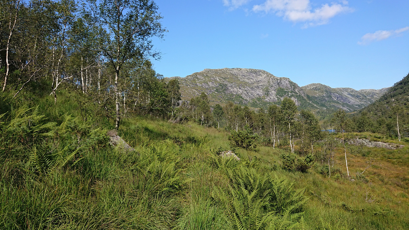
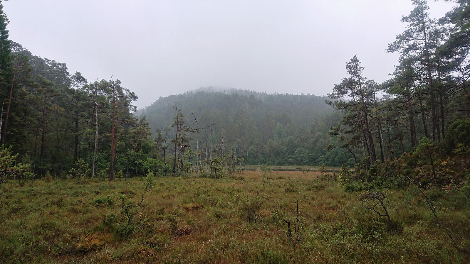 Finally it was time for another trip with Fjellsamleren (Endre Myrdal Olsen) , the first in over a year. This time our goal was to visit at least four peaks in the area between Ølve and Lygrespollen. Already during our drive from Bergen it was clear that we would not be meeting many other hikers today. The rain was hammering down on the windshield and the fog was only getting thicker. On the way up to Gullbotn we almost could not see the road in front of us. We therefore decided to start with Kyrkjehovda , simply to get it out of the way, as the previous trip reports did not give it much praise.
After easily locating the small parking lot right next to the road just north of the summit, we started following a tractor road which soon turned into a wet and weak trail. We first incorrectly headed towards the 122 hill east of Kyrkjehovda, but >>>
Finally it was time for another trip with Fjellsamleren (Endre Myrdal Olsen) , the first in over a year. This time our goal was to visit at least four peaks in the area between Ølve and Lygrespollen. Already during our drive from Bergen it was clear that we would not be meeting many other hikers today. The rain was hammering down on the windshield and the fog was only getting thicker. On the way up to Gullbotn we almost could not see the road in front of us. We therefore decided to start with Kyrkjehovda , simply to get it out of the way, as the previous trip reports did not give it much praise.
After easily locating the small parking lot right next to the road just north of the summit, we started following a tractor road which soon turned into a wet and weak trail. We first incorrectly headed towards the 122 hill east of Kyrkjehovda, but >>>
Across Hellen festning
- Date:
- 08.09.2021
- Characteristic:
- Hike
- Duration:
- 0:36h
- Distance:
- 3.1km
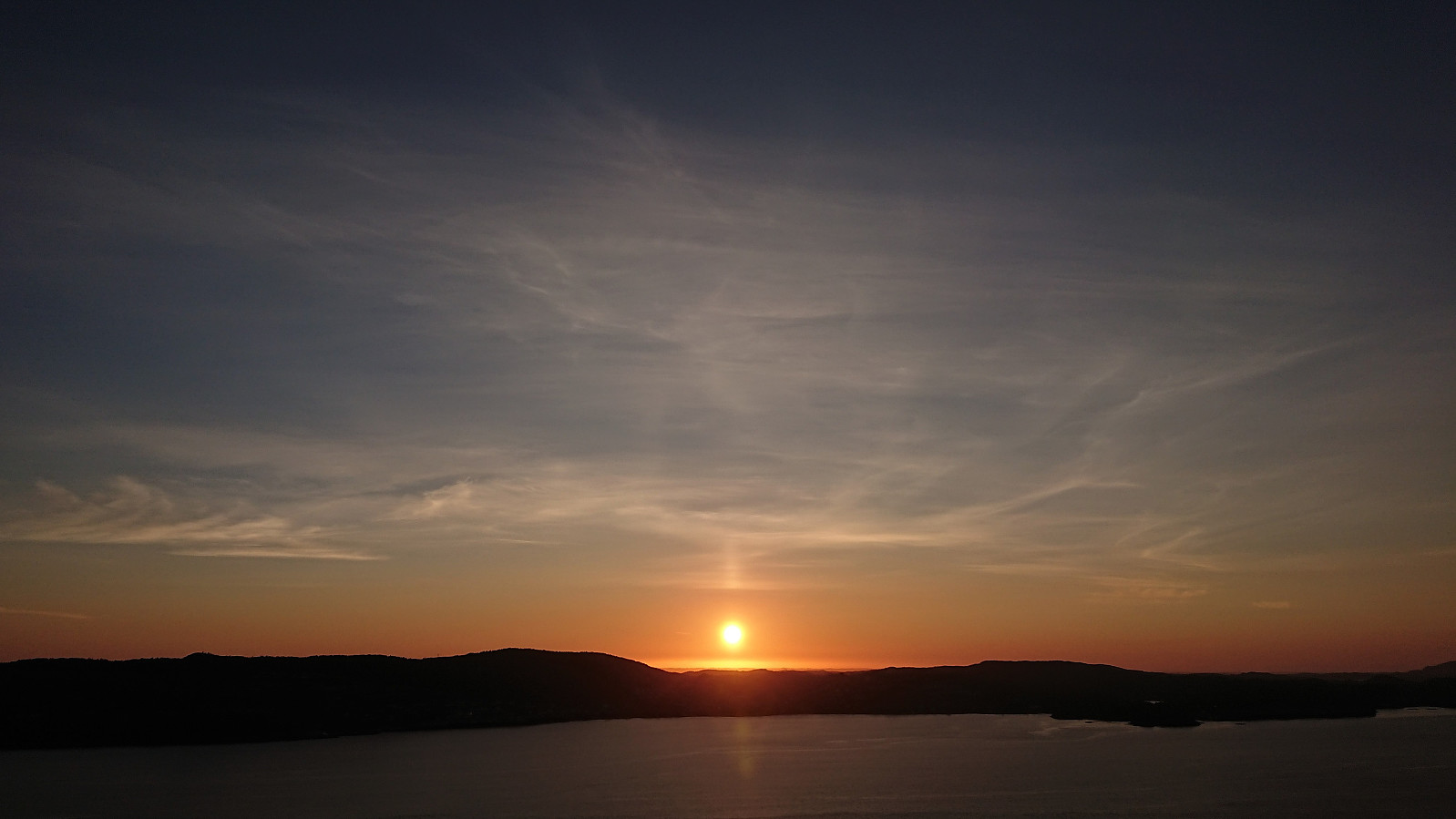
 Short local evening hike.
Våganipen and Lukefjellet from Kilen
- Date:
- 04.09.2021
- Characteristic:
- Hillwalk
- Duration:
- 6:20h
- Distance:
- 17.1km
 As far as I could tell, all previously reported ascents of Våganipen had been from the southwest, which is difficult to get to by public transport, especially during the weekends. I was therefore happy when coming across a trip suggestion at ut.no which showed an ascent of Våganipen via Bjørndalsetret , as this would allow me to start my hike from the bus stop at Kilen. I therefore hopped on a bus from Bergen and got off at the bus stop called "Kilen kryss", and after a short 1.5 km walk along the road I arrived the start of the marked trailhead for Våganipen.
After passing by the shooting range for Sævareidfjorden Skyttarlag, where there was no activity today, the gravel road changed into a rough and muddy tractor road, and soon more or less disappeared as I entered an area of recent logging. It was however still easy >>>
As far as I could tell, all previously reported ascents of Våganipen had been from the southwest, which is difficult to get to by public transport, especially during the weekends. I was therefore happy when coming across a trip suggestion at ut.no which showed an ascent of Våganipen via Bjørndalsetret , as this would allow me to start my hike from the bus stop at Kilen. I therefore hopped on a bus from Bergen and got off at the bus stop called "Kilen kryss", and after a short 1.5 km walk along the road I arrived the start of the marked trailhead for Våganipen.
After passing by the shooting range for Sævareidfjorden Skyttarlag, where there was no activity today, the gravel road changed into a rough and muddy tractor road, and soon more or less disappeared as I entered an area of recent logging. It was however still easy >>>
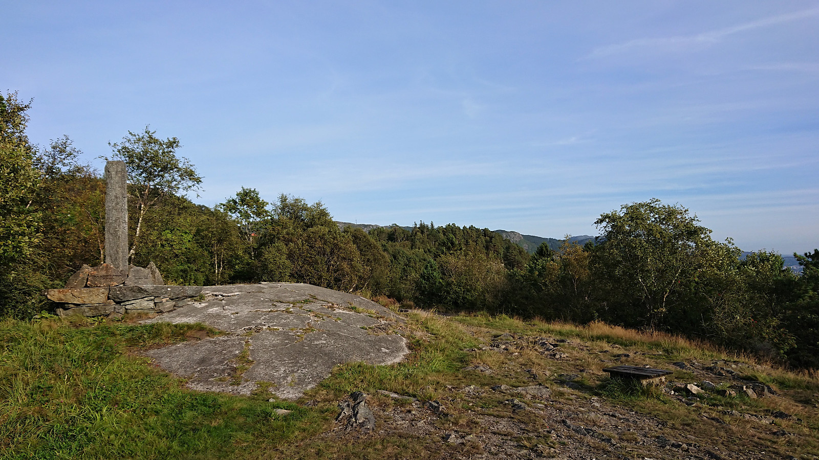
Ørneberget
- Date:
- 01.09.2021
- Characteristic:
- Hillwalk
- Duration:
- 0:49h
- Distance:
- 3.5km
 Short local evening hike.
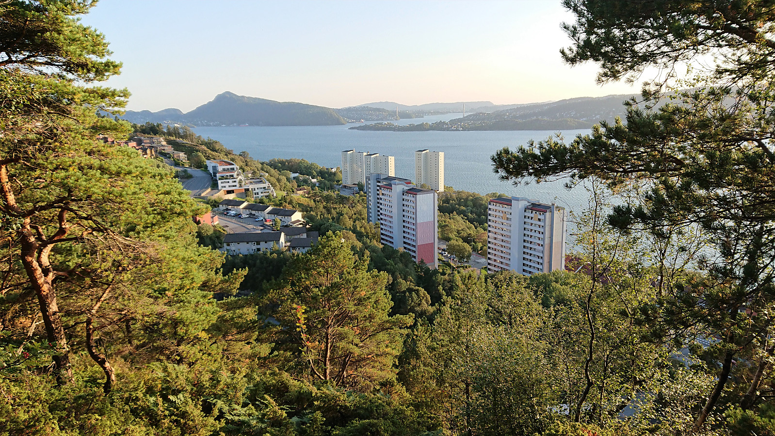
Hellemyrstien and Ørneberget NV
- Date:
- 31.08.2021
- Characteristic:
- Hike
- Duration:
- 1:26h
- Distance:
- 7.1km
 Local evening hike.
Across Hellen festning
- Date:
- 30.08.2021
- Characteristic:
- Hike
- Duration:
- 0:37h
- Distance:
- 3.1km
 Short local evening hike.
Haukåsfjellet from Tokagjelet
- Date:
- 28.08.2021
- Characteristic:
- Hillwalk
- Duration:
- 6:58h
- Distance:
- 23.8km
 For some time I had been looking into the possibility of hiking to Haukåsfjellet from Tokagjelet/Langvotnevatnet, as the map indicated that I should be able to follow a trail the whole way. Getting to the start of this planned hike by bus would however turn out to be slightly more complicated than I had thought, as I happened to pick the same day to go hiking as when seemingly half of all the international students in Bergen had decided to hike Trolltunga (as the same bus was going all the way to Odda). When the bus finally showed up at the bus stop next to NHH, it was more than ten minutes late and had in fact turned into two buses, but both of them already with no free seats. I therefore had to stand until we got to Arna, where, after another short break, yet another bus showed up to take over all of us excess >>>
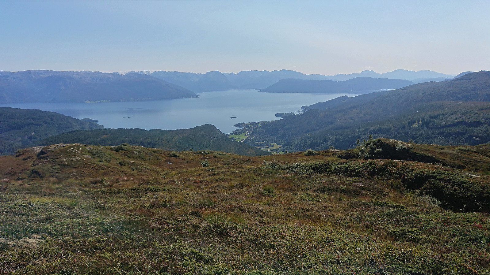
Fagerdalsfjellet, Ørneberget and Furukammen
- Date:
- 25.08.2021
- Characteristic:
- Hillwalk
- Duration:
- 1:09h
- Distance:
- 4.9km
 Short local evening hike.
Across Hellen festning
- Date:
- 24.08.2021
- Characteristic:
- Hike
- Duration:
- 0:43h
- Distance:
- 3.7km
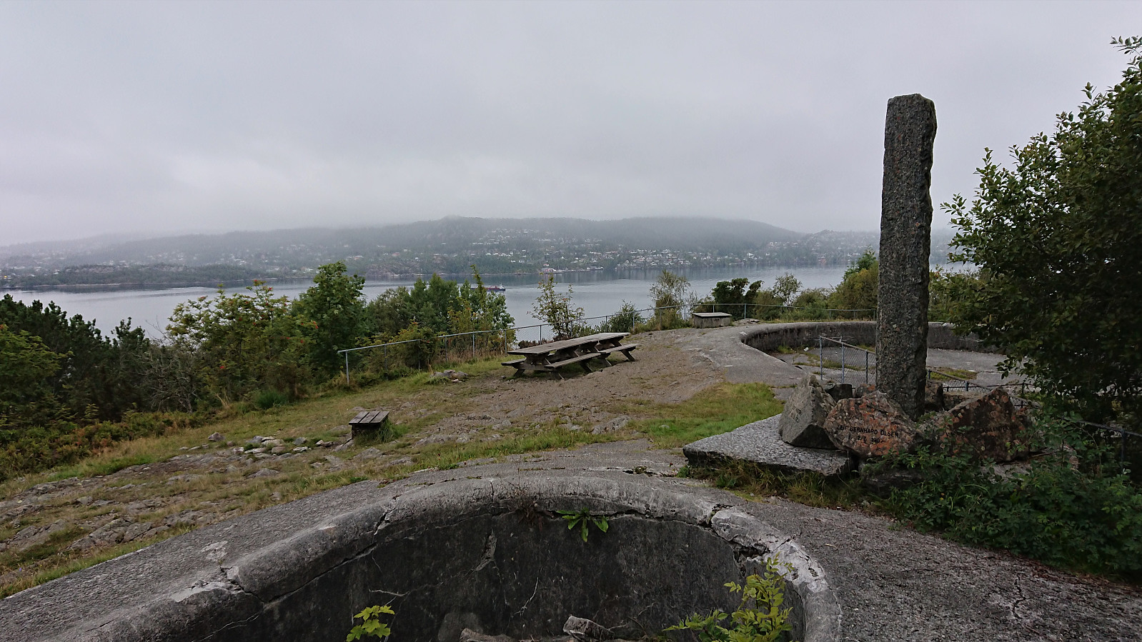 Short local evening hike in light rain.
Eggene, Godbotnsfjellet and Geiteskardfjell from E39
- Date:
- 22.08.2021
- Characteristic:
- Hillwalk
- Duration:
- 6:58h
- Distance:
- 16.5km
 After yesterday’s long hike at Voss , I had originally not planned on hiking this Sunday. But with excellent August weather forecasts this was not really an option. I therefore hopped on a bus to Dyrkolbotn for a hike to Eggene , Godbotnsfjellet and Geiteskardfjell . I had previously studied the reports from gapahuken (Torbjørn Rygg Haugland) and knutsverre (Knut S. Andersen) (see here and here ) and decided to pretty much follow in their footsteps.
The only major difference being that I started from the main road and thus did not bother to head all the way to the northern parking lot at Dyrkolbotn , but instead had a go at the trail on the westside of Botnavatnet/Heimevatnet. A trail that was rather weak and currently well-hidden by the tall grasses. It was however (at least partially) marked and was still relatively easy to follow. (It would most likely have been just as fast to follow the alternative route on the eastside of the lake though.)
Just >>>
After yesterday’s long hike at Voss , I had originally not planned on hiking this Sunday. But with excellent August weather forecasts this was not really an option. I therefore hopped on a bus to Dyrkolbotn for a hike to Eggene , Godbotnsfjellet and Geiteskardfjell . I had previously studied the reports from gapahuken (Torbjørn Rygg Haugland) and knutsverre (Knut S. Andersen) (see here and here ) and decided to pretty much follow in their footsteps.
The only major difference being that I started from the main road and thus did not bother to head all the way to the northern parking lot at Dyrkolbotn , but instead had a go at the trail on the westside of Botnavatnet/Heimevatnet. A trail that was rather weak and currently well-hidden by the tall grasses. It was however (at least partially) marked and was still relatively easy to follow. (It would most likely have been just as fast to follow the alternative route on the eastside of the lake though.)
Just >>>
