Archive - Date
Archive - Activity
-
Bike trip (108)
- Bike trip - mixed (25)
- Bike trip - road (83)
-
Drive (9)
- Car drive (9)
-
Other trip (3)
- Kayaking (3)
-
Ski trip (109)
- Backcountry skiing (65)
- Cross-country skiing (44)
- Trip by foot (1782)
Collected lists
-
Voss ≥ 100m pf.
(96/98)
 97%
97% -
Opptur Hordaland
(143/159)
89%
-
Stasjoner på Bergensbanen
(31/40)
77%
-
Ulvik ≥ 100m pf.
(28/38)
73%
-
Hordaland ≥ 100m pf.
(613/863)
71%
-
Mjølfjell PF > 100m
(21/31)
67%
-
Jondal ≥ 100m pf.
(15/23)
65%
-
Sunnhordland PF >= 100m
(104/186)
55%
-
Dagsturhyttene i Vestland
(33/61)
54%
-
Hordaland: Hardanger PF>=100m
(186/359)
51%
-
Kvinnherad ≥ 100m pf.
(40/79)
50%
-
DNT-hytter i Hordaland
(22/45)
48%
-
Sogndal ≥ 100m pf.
(23/81)
28%
-
Vik i Sogn ≥ 100m pf.
(8/46)
17%
-
DNT-hytter i Sogn og Fjordane
(8/47)
17%
-
Eidfjord ≥ 100m pf.
(7/42)
16%
-
Etne ≥ 100m pf.
(7/51)
13%
-
Ullensvang ≥ 100m pf.
(21/153)
13%
-
Sogn - Sør for Sognefjorden PF>=100m
(17/159)
10%
-
Opptur i Sogn og Fjordane peaks
(17/177)
9%

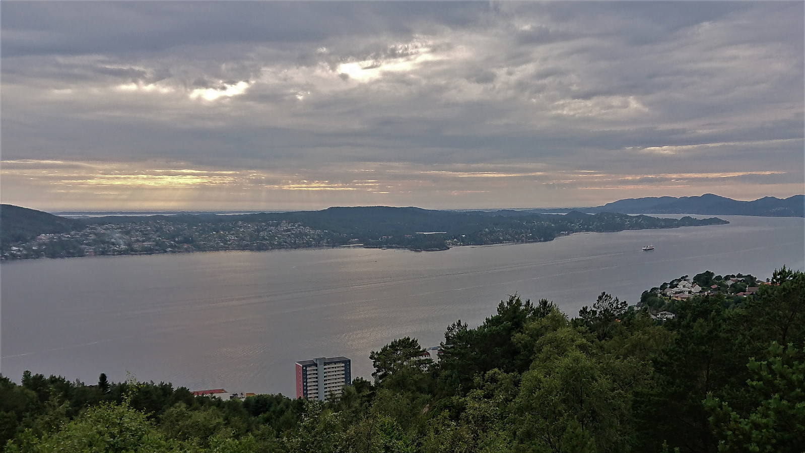
Hellemyrstien
- Date:
- 22.07.2021
- Characteristic:
- Hike
- Duration:
- 1:21h
- Distance:
- 6.5km
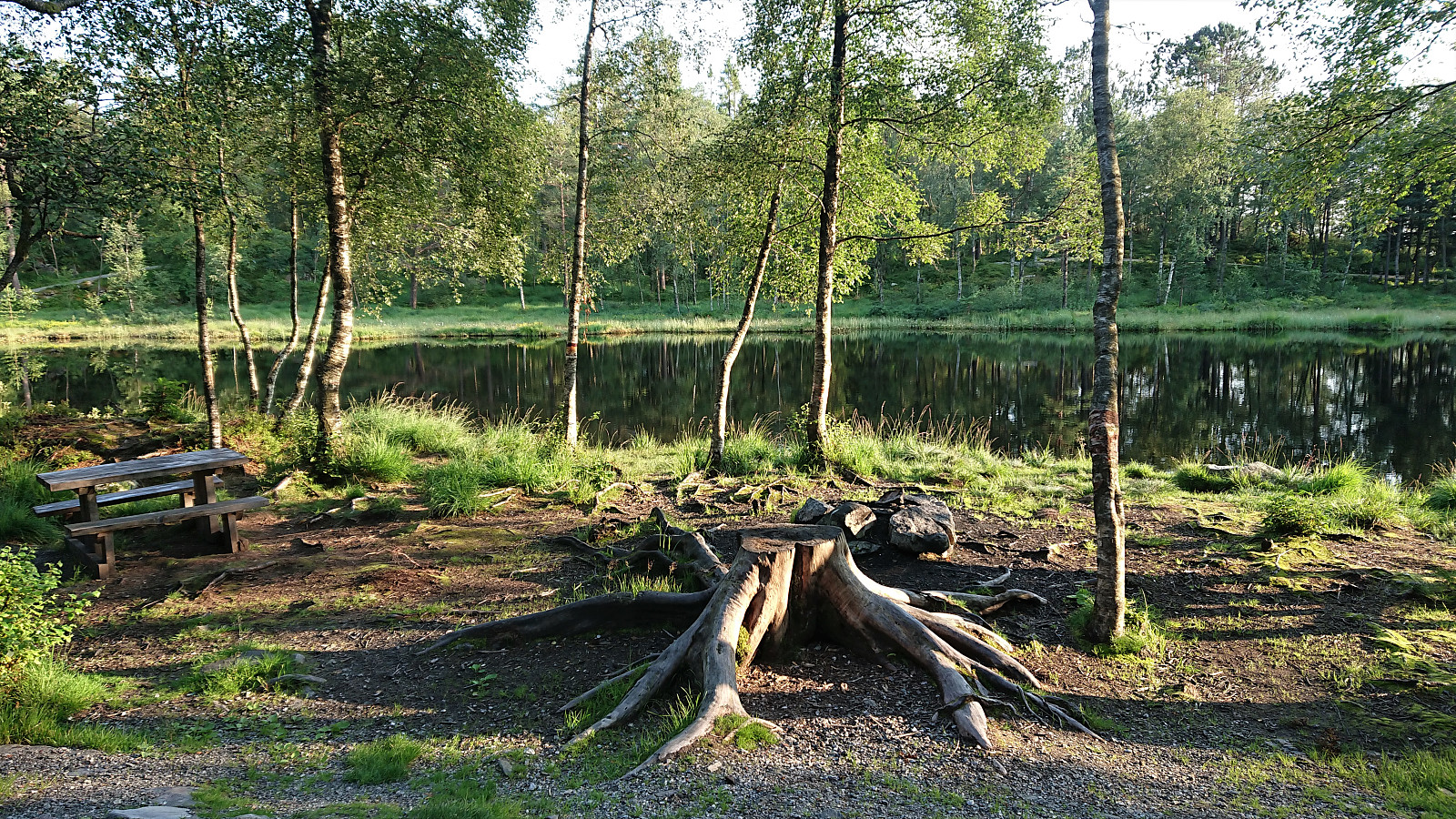 Local evening hike.
Note: The GPS track had to be recreated from Garpetjern to Lønborg, hence the information regarding the speed is not correct.
Local evening hike.
Note: The GPS track had to be recreated from Garpetjern to Lønborg, hence the information regarding the speed is not correct.
Vardafjellet from Svortland
- Date:
- 21.07.2021
- Characteristic:
- Hillwalk
- Duration:
- 0:55h
- Distance:
- 2.9km
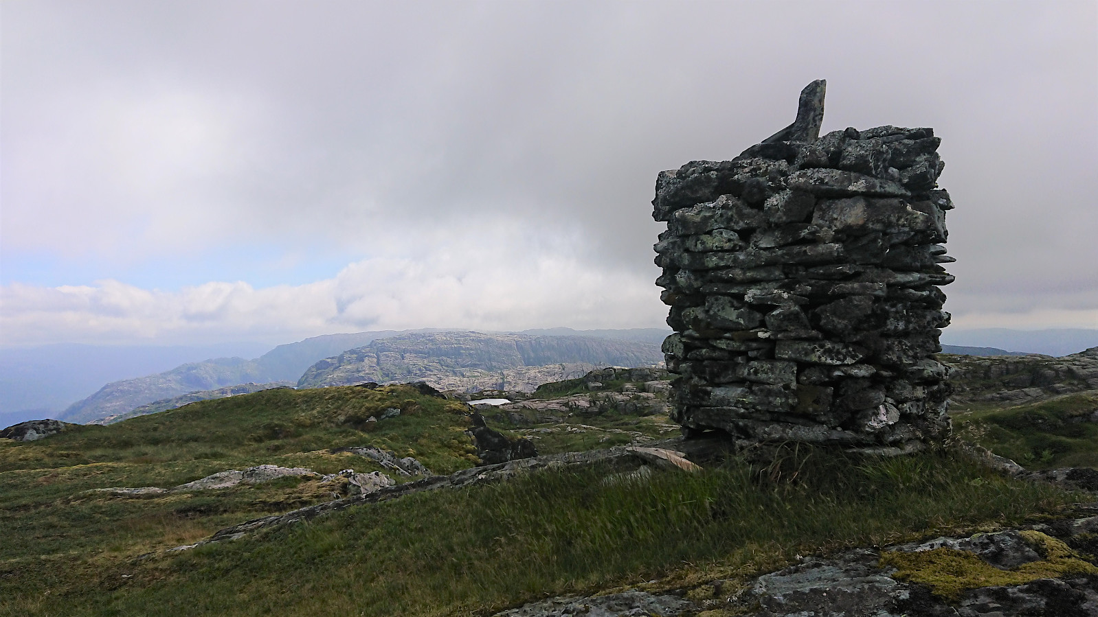
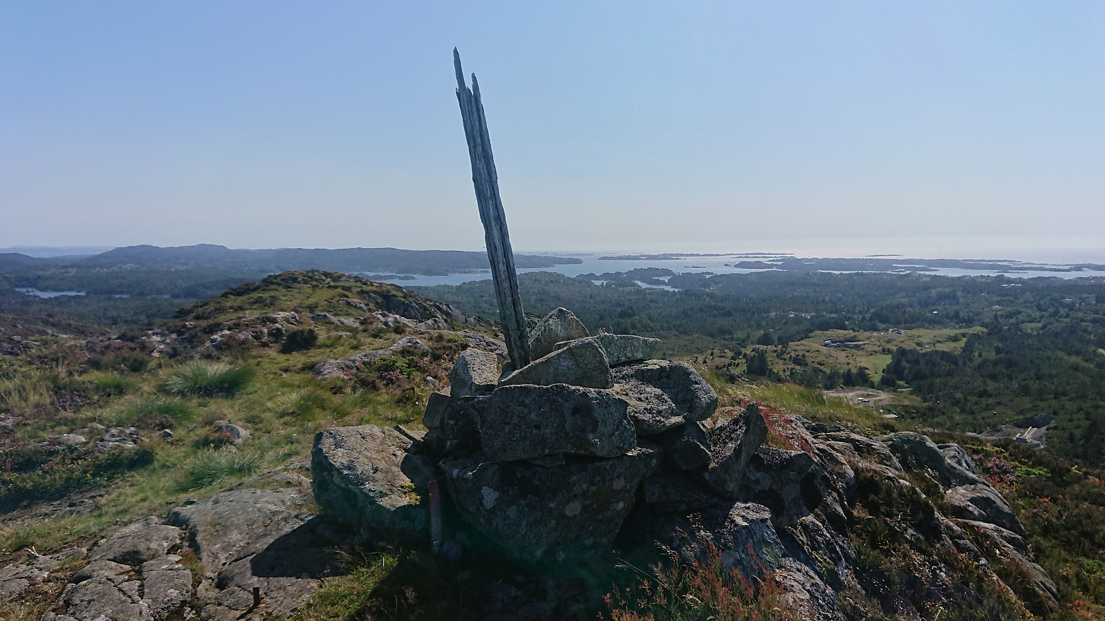 After the visits of Siggjo and Furufjellet , I cycled to Svortland where I easily located the gravel road referred to as "Lysløypa til Fet", which I then proceeded to follow, still on the bike, to the marked trailhead for Vardafjellet . Here I left the bike and continued towards the summit on foot. The trail was easy to follow, with small wooden bridges across the wet areas and signs showing the way. I therefore quickly arrived at the summit, which provided excellent panoramic views, especially for such a modest peak of only 164 meters above sea level. From the summit I returned along the same route for the bike ride back to Rubbestadneset and the boat home to Bergen.
Furefjellet from Åreiddalen/Finnåsvatnet
- Date:
- 21.07.2021
- Characteristic:
- Hillwalk
- Duration:
- 0:41h
- Distance:
- 2.0km
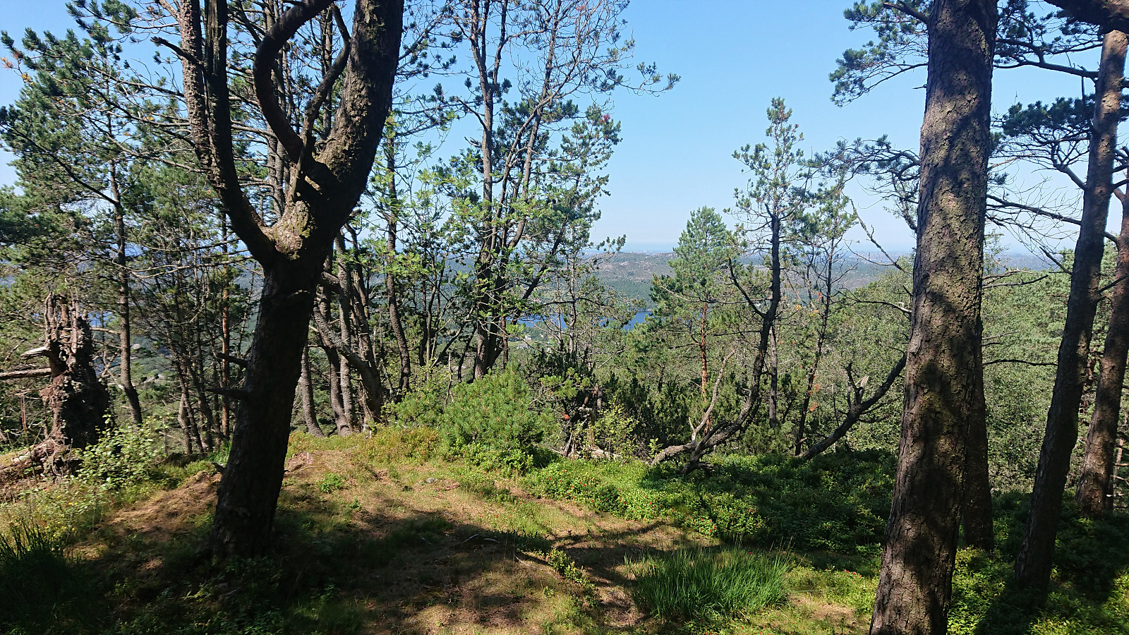 After descending from Siggjo (see separate trip report here ), I cycled about 300 meters north to the unmarked trailhead for Furefjellet . Here I again left the bike behind and continued on foot along a rough tractor road, i.e. bringing the bike was clearly not an option.
After twice crossing an electric fence set up to keep the cows from wandering off, I easily located the marked trail for Furefjellet where it departed from the tractor road. The trail was marked with the now familiar wooden sticks tipped with red paint and also the pink ribbons. In fact, the markers had been there all the way from when the first crossing of the electric fence.
While the low vegetation was partially hiding the trail at times, it was overall easy to follow and made it straightforward to reach the summit. The summit itself was not marked, although I did discover >>>
After descending from Siggjo (see separate trip report here ), I cycled about 300 meters north to the unmarked trailhead for Furefjellet . Here I again left the bike behind and continued on foot along a rough tractor road, i.e. bringing the bike was clearly not an option.
After twice crossing an electric fence set up to keep the cows from wandering off, I easily located the marked trail for Furefjellet where it departed from the tractor road. The trail was marked with the now familiar wooden sticks tipped with red paint and also the pink ribbons. In fact, the markers had been there all the way from when the first crossing of the electric fence.
While the low vegetation was partially hiding the trail at times, it was overall easy to follow and made it straightforward to reach the summit. The summit itself was not marked, although I did discover >>>
Siggjo from Åreiddalen/Finnåsvatnet
- Date:
- 21.07.2021
- Characteristic:
- Hillwalk
- Duration:
- 2:15h
- Distance:
- 5.8km
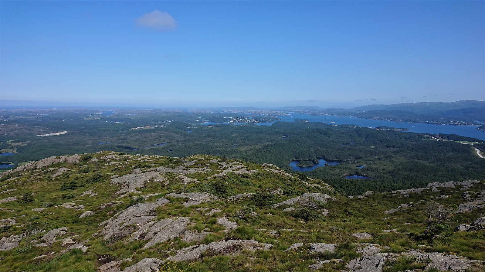 After cycling from Rubbestadneset to the unmarked trailhead for Siggjo in the valley between Siggjo and Furefjellet , I left the bike behind and continued towards the summit on foot following a trail marked with wooden sticks tipped with red paint. (At the start the trail was also marked with pink ribbons, but these soon departed from the main trail, and the one indicated on the map, and I continued following the wooden sticks.)
The trail was easy to follow as it winded its way up to the summit, which was therefore reached without any difficulties. Especially the last part was very nice, i.e. when getting above the tree line with the views greatly improving. As expected, the panoramic view from the summit was spectacular with unobstructed views in all directions. After a short break, and lots of pictures, I descended along the same route.
After cycling from Rubbestadneset to the unmarked trailhead for Siggjo in the valley between Siggjo and Furefjellet , I left the bike behind and continued towards the summit on foot following a trail marked with wooden sticks tipped with red paint. (At the start the trail was also marked with pink ribbons, but these soon departed from the main trail, and the one indicated on the map, and I continued following the wooden sticks.)
The trail was easy to follow as it winded its way up to the summit, which was therefore reached without any difficulties. Especially the last part was very nice, i.e. when getting above the tree line with the views greatly improving. As expected, the panoramic view from the summit was spectacular with unobstructed views in all directions. After a short break, and lots of pictures, I descended along the same route.
Båtevassfjellet from Einestranda
- Date:
- 19.07.2021
- Characteristic:
- Hillwalk
- Duration:
- 4:55h
- Distance:
- 14.5km
 I started by taking the bus (or rather buses, four in total) to Einestranda. Here I managed to get off one stop too early. I think I can be excused by the fact that this particular stop, while having its own bus stop sign, does not appear in the list of bus stops at skyss.no. In any case, it was only a short 250 meters walk to the correct stop.
Next, the unmarked trailhead for Båtevassfjellet was easily located just before crossing the river at Einestranda. The trail itself however was marked, and the first trail marker could be spotted from the trailhead. After a short detour following some trail markers on the north/west side of the river, I retraced my steps and crossed the river via a concrete bridge, and quickly picked up the trail markers on the other side. From there on the trail was overall easy to >>>
I started by taking the bus (or rather buses, four in total) to Einestranda. Here I managed to get off one stop too early. I think I can be excused by the fact that this particular stop, while having its own bus stop sign, does not appear in the list of bus stops at skyss.no. In any case, it was only a short 250 meters walk to the correct stop.
Next, the unmarked trailhead for Båtevassfjellet was easily located just before crossing the river at Einestranda. The trail itself however was marked, and the first trail marker could be spotted from the trailhead. After a short detour following some trail markers on the north/west side of the river, I retraced my steps and crossed the river via a concrete bridge, and quickly picked up the trail markers on the other side. From there on the trail was overall easy to >>>
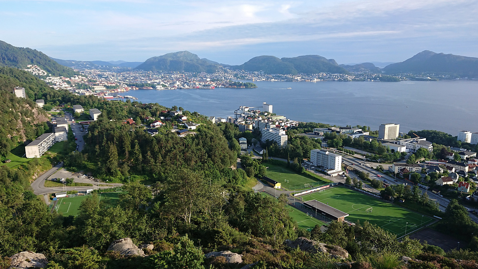
Across Hellen festning
- Date:
- 17.07.2021
- Characteristic:
- Hike
- Duration:
- 0:38h
- Distance:
- 3.2km
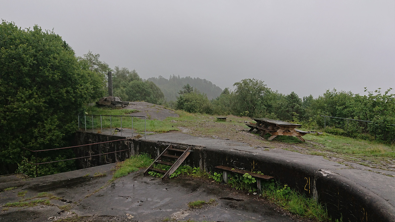 Short local hike on a gray and wet Saturday.
Vestrefjellet and Snjonipa roundtrip from Tyssebotn
- Date:
- 16.07.2021
- Characteristic:
- Hillwalk
- Duration:
- 8:22h
- Distance:
- 24.5km
 I started by taking the first bus to Tyssebotn on a Friday morning, where I was the only passenger on both the bus and the ferry from Breistein to Valestrand. From Tyssebotn, I walked along the road to the trailhead for Gammersvik south of Kleiveland. I proceeded to follow this unmarked but easy to follow trail to Vaultjørna. After a quick visit to Vaulelvbrua to check that both it and the trail on the other side was there and of ok quality (as it would be quite important when later returning along that route), I backtracked about 100 meters to a trail/deer track I had noticed just after crossing the small stream north of Vaultjørna.
By following this track, I easily ascended the initial steep section on my way northeast towards Vestrefjellet . The track however soon more or less disappeared, and I was left making >>>
I started by taking the first bus to Tyssebotn on a Friday morning, where I was the only passenger on both the bus and the ferry from Breistein to Valestrand. From Tyssebotn, I walked along the road to the trailhead for Gammersvik south of Kleiveland. I proceeded to follow this unmarked but easy to follow trail to Vaultjørna. After a quick visit to Vaulelvbrua to check that both it and the trail on the other side was there and of ok quality (as it would be quite important when later returning along that route), I backtracked about 100 meters to a trail/deer track I had noticed just after crossing the small stream north of Vaultjørna.
By following this track, I easily ascended the initial steep section on my way northeast towards Vestrefjellet . The track however soon more or less disappeared, and I was left making >>>
Hellen festning and Furukammen
- Date:
- 15.07.2021
- Characteristic:
- Hike
- Duration:
- 1:23h
- Distance:
- 4.5km
 Short local afternoon hike.
Munkebotn, Hellemyrstien and Furukammen
- Date:
- 13.07.2021
- Characteristic:
- Hike
- Duration:
- 1:53h
- Distance:
- 10.1km
 Local evening hike.
Ørneberget and Rognåsen
- Date:
- 12.07.2021
- Characteristic:
- Hillwalk
- Duration:
- 1:22h
- Distance:
- 6.1km
 Local evening hike.
