Archive - Date
Archive - Activity
-
Bike trip (108)
- Bike trip - mixed (25)
- Bike trip - road (83)
-
Drive (9)
- Car drive (9)
-
Other trip (3)
- Kayaking (3)
-
Ski trip (109)
- Backcountry skiing (65)
- Cross-country skiing (44)
- Trip by foot (1782)
Collected lists
-
Voss ≥ 100m pf.
(96/98)
 97%
97% -
Opptur Hordaland
(143/159)
89%
-
Stasjoner på Bergensbanen
(31/40)
77%
-
Ulvik ≥ 100m pf.
(28/38)
73%
-
Hordaland ≥ 100m pf.
(613/863)
71%
-
Mjølfjell PF > 100m
(21/31)
67%
-
Jondal ≥ 100m pf.
(15/23)
65%
-
Sunnhordland PF >= 100m
(104/186)
55%
-
Dagsturhyttene i Vestland
(33/61)
54%
-
Hordaland: Hardanger PF>=100m
(186/359)
51%
-
Kvinnherad ≥ 100m pf.
(40/79)
50%
-
DNT-hytter i Hordaland
(22/45)
48%
-
Sogndal ≥ 100m pf.
(23/81)
28%
-
Vik i Sogn ≥ 100m pf.
(8/46)
17%
-
DNT-hytter i Sogn og Fjordane
(8/47)
17%
-
Eidfjord ≥ 100m pf.
(7/42)
16%
-
Etne ≥ 100m pf.
(7/51)
13%
-
Ullensvang ≥ 100m pf.
(21/153)
13%
-
Sogn - Sør for Sognefjorden PF>=100m
(17/159)
10%
-
Opptur i Sogn og Fjordane peaks
(17/177)
9%

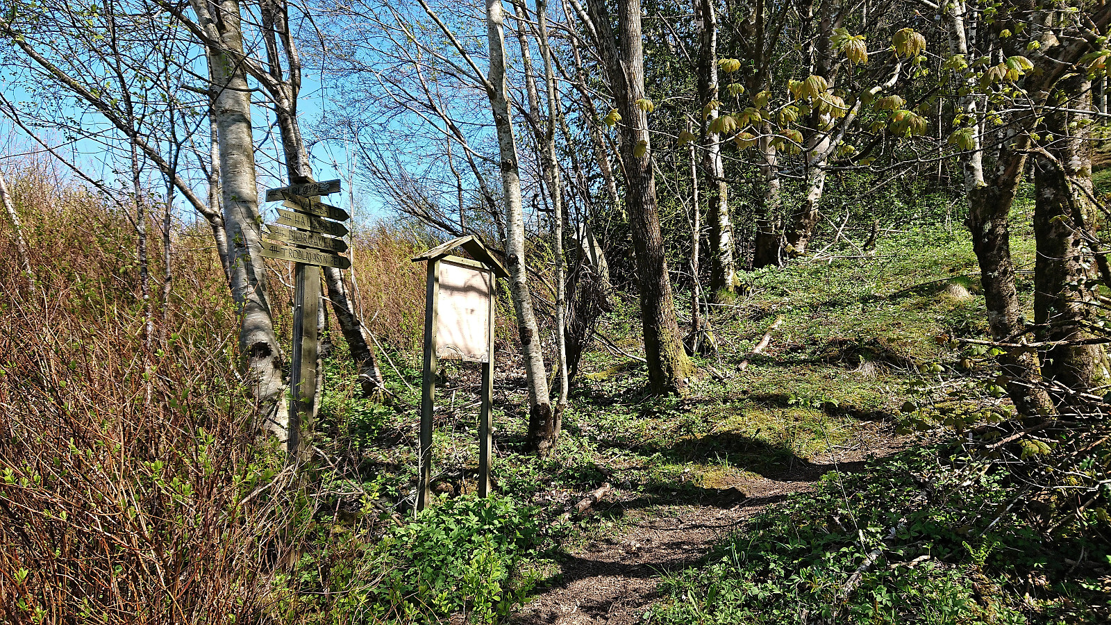
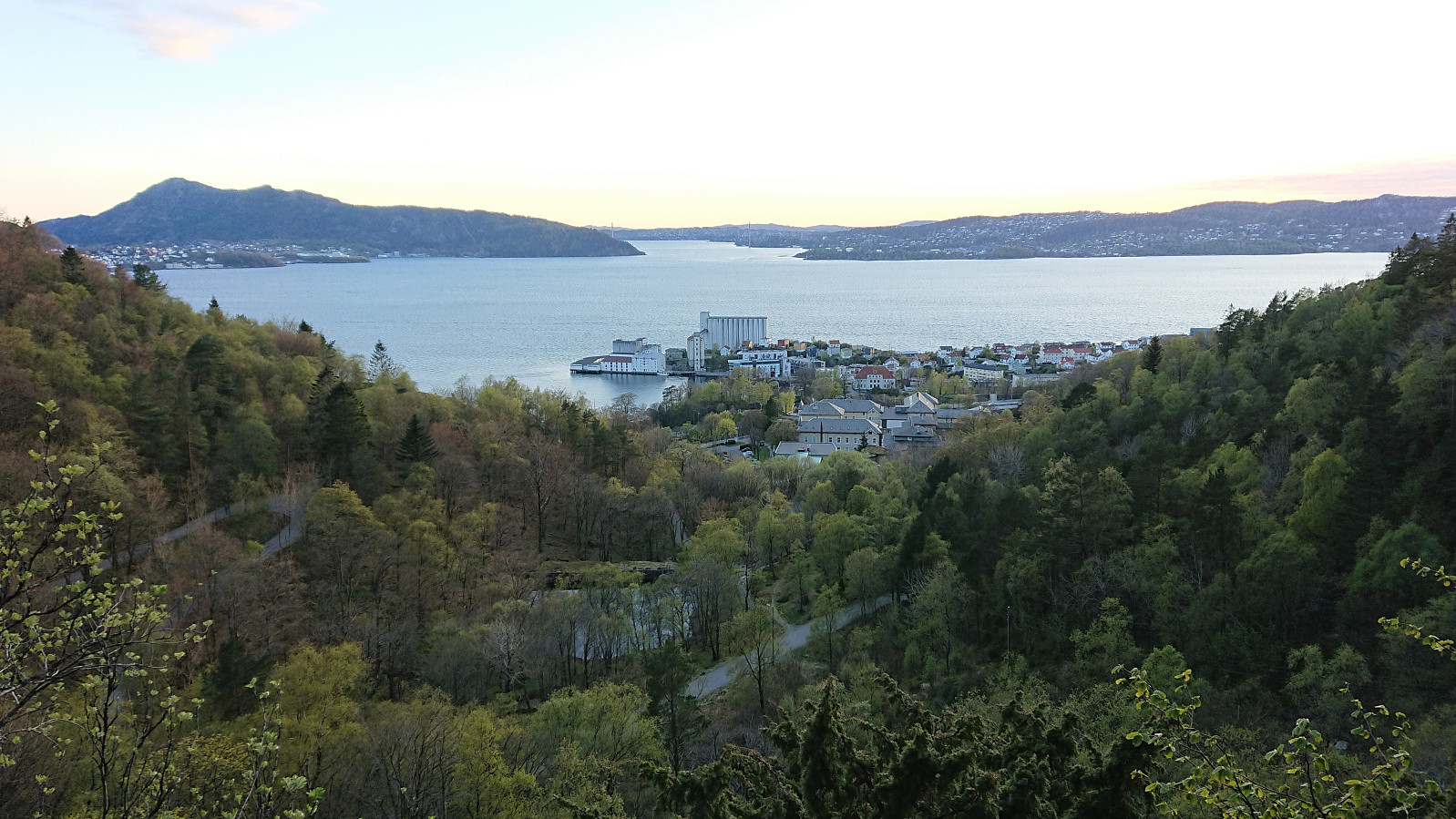
Ørneberget and Hellemyrstien
- Date:
- 27.05.2022
- Characteristic:
- Hillwalk
- Duration:
- 1:24h
- Distance:
- 7.0km
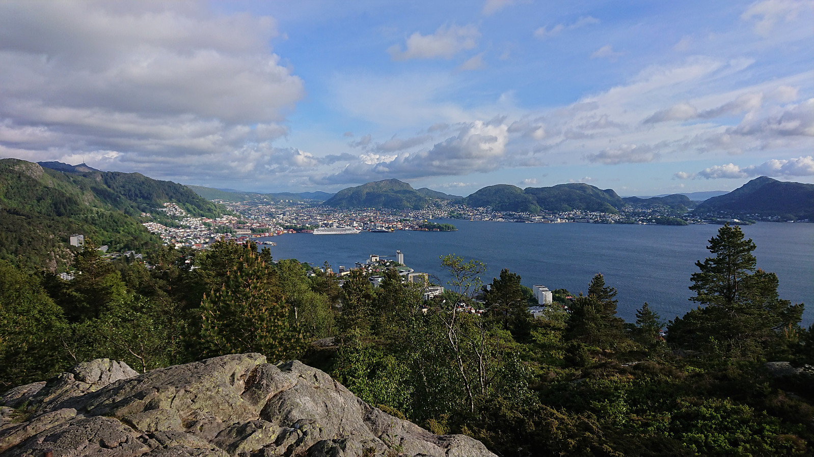 Local evening hike after work.
Raunelifjellet from Grøssviki
- Date:
- 22.05.2022
- Characteristic:
- Hillwalk
- Duration:
- 3:45h
- Distance:
- 6.6km
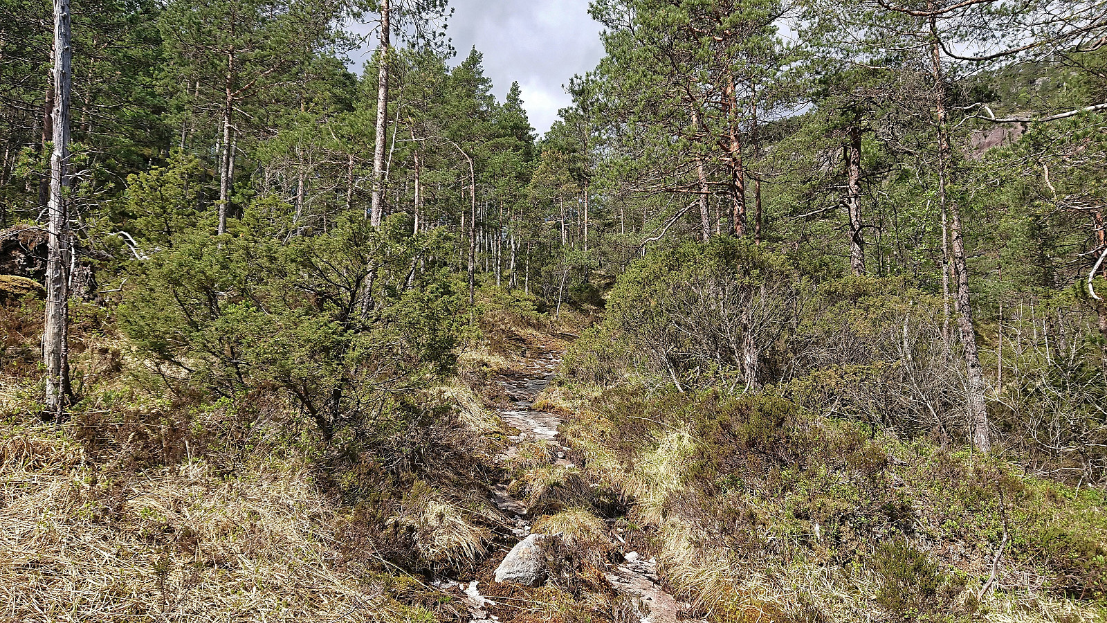 For almost two years, Raunelifjellet had been my only remaining summit on the Osterøy ≥ 100m pf. list . When Kjell51 (Kjell Øijorden) suggested a joint trip to Raunelifjellet, I therefore of course eagerly agreed. After reading previous trip reports, we decided to go for an ascent from Grøssviki northeast of the summit, thus following in the footsteps of elbow (Vegard Magnussen) and arntfla (Arnt Flatmo) . (See their trip reports here and here .)
We found parking at the start of a tractor road beginning in the first hairpin turn on the road up from Grøssviki. Plenty of room here for a single car, without blocking neither of the two roads. Here we left the car behind and continued on foot along a tractor road that did not seem to be very frequently used. Soon we left the tractor road behind and continued southwest on a weak road/trail that shortly came to an end. From there on, we followed various deer tracks >>>
For almost two years, Raunelifjellet had been my only remaining summit on the Osterøy ≥ 100m pf. list . When Kjell51 (Kjell Øijorden) suggested a joint trip to Raunelifjellet, I therefore of course eagerly agreed. After reading previous trip reports, we decided to go for an ascent from Grøssviki northeast of the summit, thus following in the footsteps of elbow (Vegard Magnussen) and arntfla (Arnt Flatmo) . (See their trip reports here and here .)
We found parking at the start of a tractor road beginning in the first hairpin turn on the road up from Grøssviki. Plenty of room here for a single car, without blocking neither of the two roads. Here we left the car behind and continued on foot along a tractor road that did not seem to be very frequently used. Soon we left the tractor road behind and continued southwest on a weak road/trail that shortly came to an end. From there on, we followed various deer tracks >>>
Ørneberget, Hellemyrstien and Hellen festning
- Date:
- 21.05.2022
- Characteristic:
- Hillwalk
- Duration:
- 2:54h
- Distance:
- 6.4km
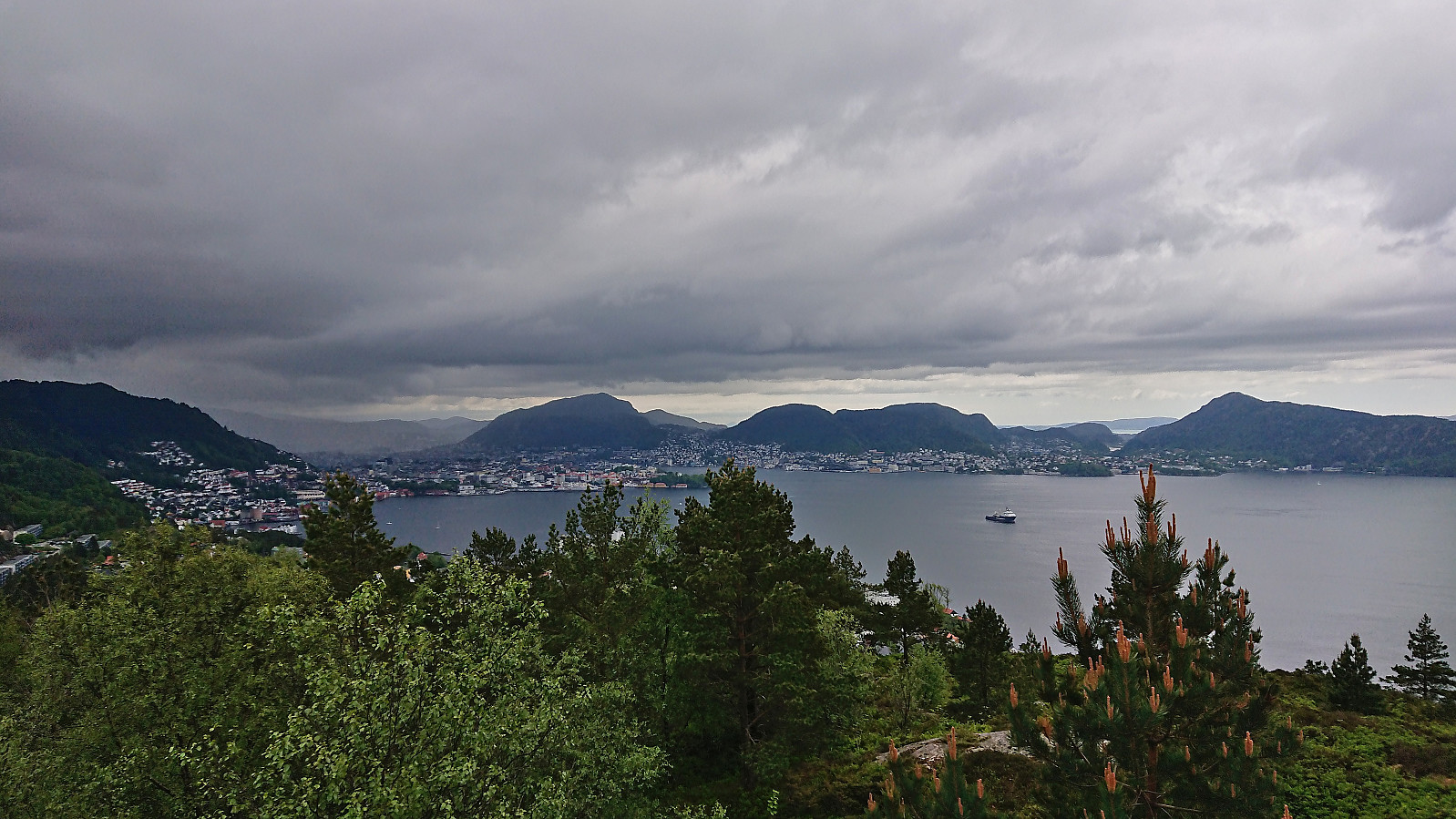 Short local hike avoiding the rain showers to the south and east.
Eldsfjellet and Eldsbu
- Date:
- 18.05.2022
- Characteristic:
- Hillwalk
- Duration:
- 2:10h
- Distance:
- 2.8km
 Short evening hike with two colleagues, among them yehiamokhtarfarag (Yehia Mokhtar Farag) , where we followed the standard route from the large new parking lot southeast of the summit. My third visit of Eldsfjellet , but the first to the new "dagsturhytte" called Eldsbu . Windy at the summit and not as much sun as we had hoped but otherwise a very nice short hike.
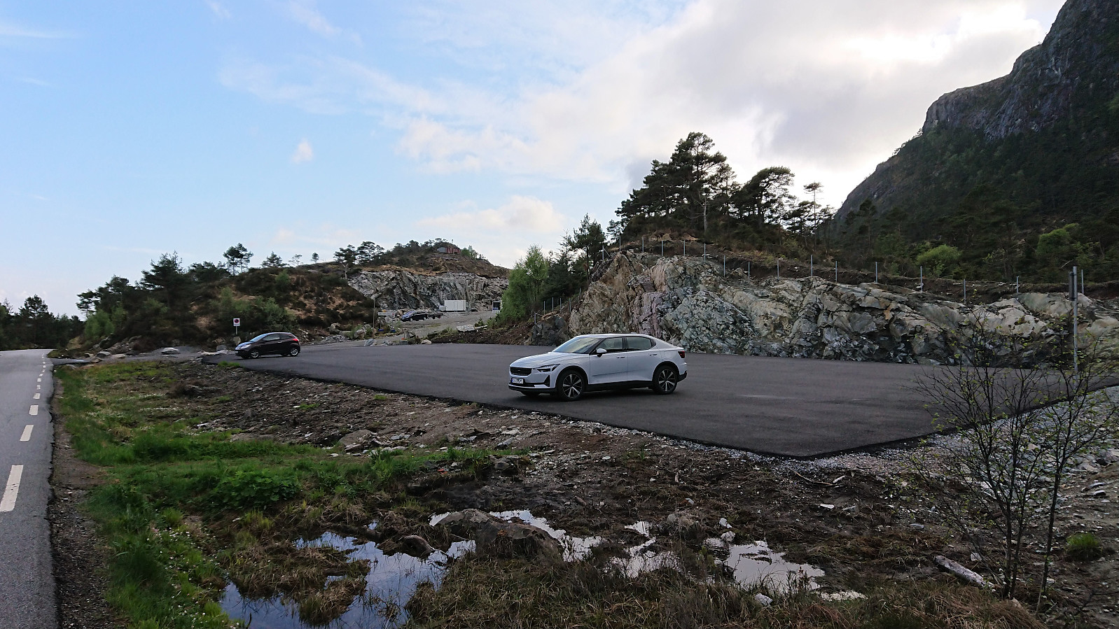
Steingilshøgda, Klovfjellet and Budalsfjellet from Grov
- Date:
- 15.05.2022
- Characteristic:
- Hillwalk
- Duration:
- 7:11h
- Distance:
- 24.0km
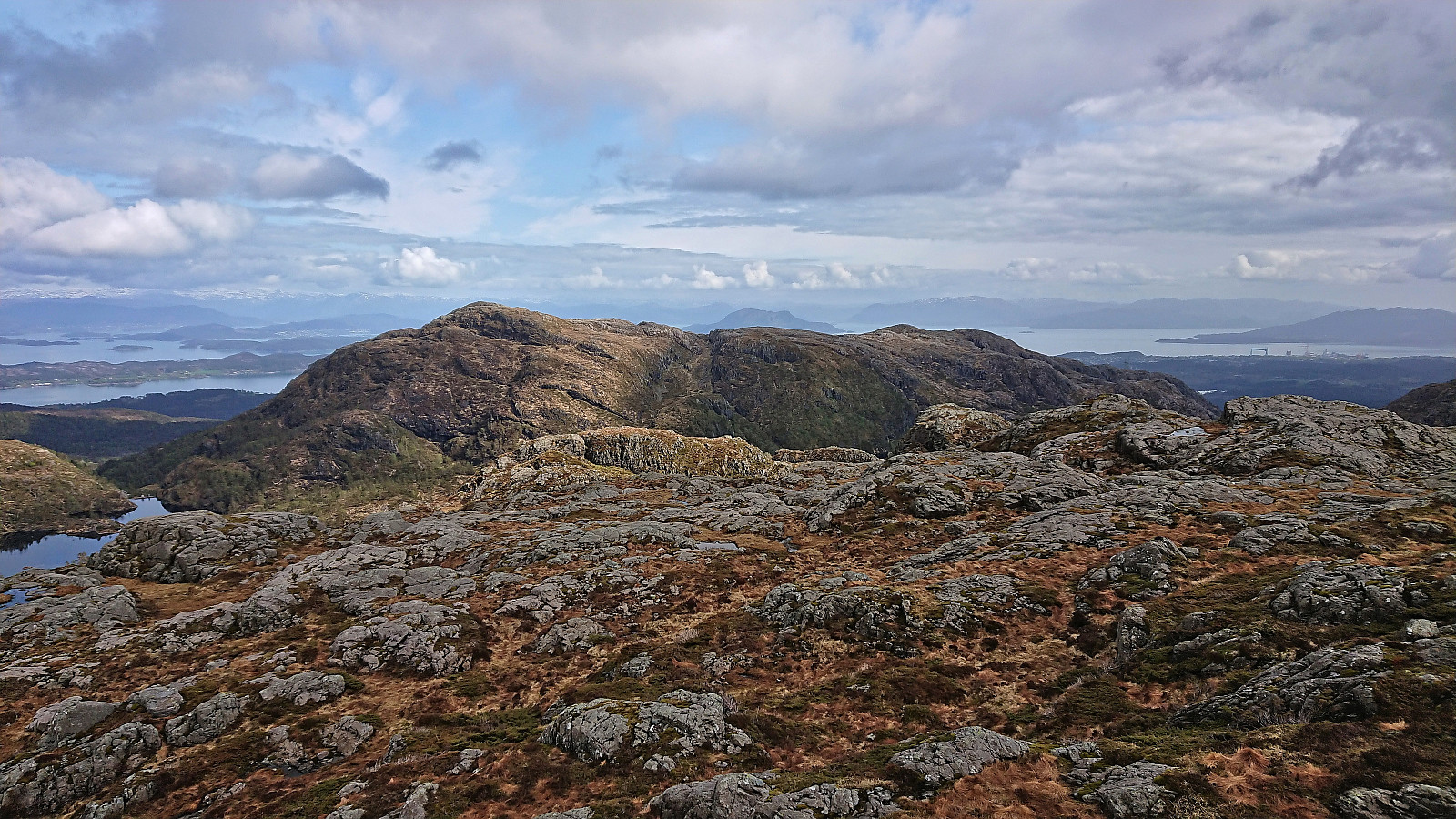 A return to Stord to complete the Stord ≥ 100m pf. list . I started by taking the express bus from Bergen to Stord and getting off at the stop called "Grov nord E39". From there I followed a marked route southwest, choosing the northern of the two options when the road forked just after the trailhead. This included first crossing a small wooden bridge and then continuing on a nice tractor road that later turned into a trail before again returning to a tractor road, and finally ending up at the paved road heading north.
After a short walk along the paved road, I took a shortcut up Omabrekko to arrive at the floodlit ski track south of Lundarstøl . I continued northwest for a quick visit of Lundarstøl, before heading west along the roads to the marked trailhead for Steingilshøgda . For the rest of the hike I would now be on trails >>>
A return to Stord to complete the Stord ≥ 100m pf. list . I started by taking the express bus from Bergen to Stord and getting off at the stop called "Grov nord E39". From there I followed a marked route southwest, choosing the northern of the two options when the road forked just after the trailhead. This included first crossing a small wooden bridge and then continuing on a nice tractor road that later turned into a trail before again returning to a tractor road, and finally ending up at the paved road heading north.
After a short walk along the paved road, I took a shortcut up Omabrekko to arrive at the floodlit ski track south of Lundarstøl . I continued northwest for a quick visit of Lundarstøl, before heading west along the roads to the marked trailhead for Steingilshøgda . For the rest of the hike I would now be on trails >>>
Ørneberget and Hellen festning
- Date:
- 12.05.2022
- Characteristic:
- Hillwalk
- Duration:
- 0:57h
- Distance:
- 4.2km
 Short local evening hike in between the rain showers.
Ørneberget and Furukammen
- Date:
- 05.05.2022
- Characteristic:
- Hillwalk
- Duration:
- 0:52h
- Distance:
- 3.8km
 Short local evening hike.
Trollevassnibba and Steinsfjell from Ulveråker
- Date:
- 01.05.2022
- Characteristic:
- Hillwalk
- Duration:
- 5:17h
- Distance:
- 15.9km
 My first hike in Sveio! I started by taking the express bus from Bergen and got off at the first stop after the long undersea tunnel from Stord via Føyno. This location was named Ulveråker on the map, while the bus stop was called "Ulveraker nord". In any case, I headed north along a smaller side road not expecting much traffic, especially as there was no side walk except for at the very start. However, during my short walk to the marked trailhead I was passed by what had to be upwards of a hundred motorcycles. I later learned that they have a large gathering in this area on May 1st every year.
After passing close by the house of composer Fartein Valen , I arrived at the marked trailhead west of Valesåta and follow the, at the start, relatively steep trail east. Before turning towards Trollevassnibba , I made a short >>>
My first hike in Sveio! I started by taking the express bus from Bergen and got off at the first stop after the long undersea tunnel from Stord via Føyno. This location was named Ulveråker on the map, while the bus stop was called "Ulveraker nord". In any case, I headed north along a smaller side road not expecting much traffic, especially as there was no side walk except for at the very start. However, during my short walk to the marked trailhead I was passed by what had to be upwards of a hundred motorcycles. I later learned that they have a large gathering in this area on May 1st every year.
After passing close by the house of composer Fartein Valen , I arrived at the marked trailhead west of Valesåta and follow the, at the start, relatively steep trail east. Before turning towards Trollevassnibba , I made a short >>>
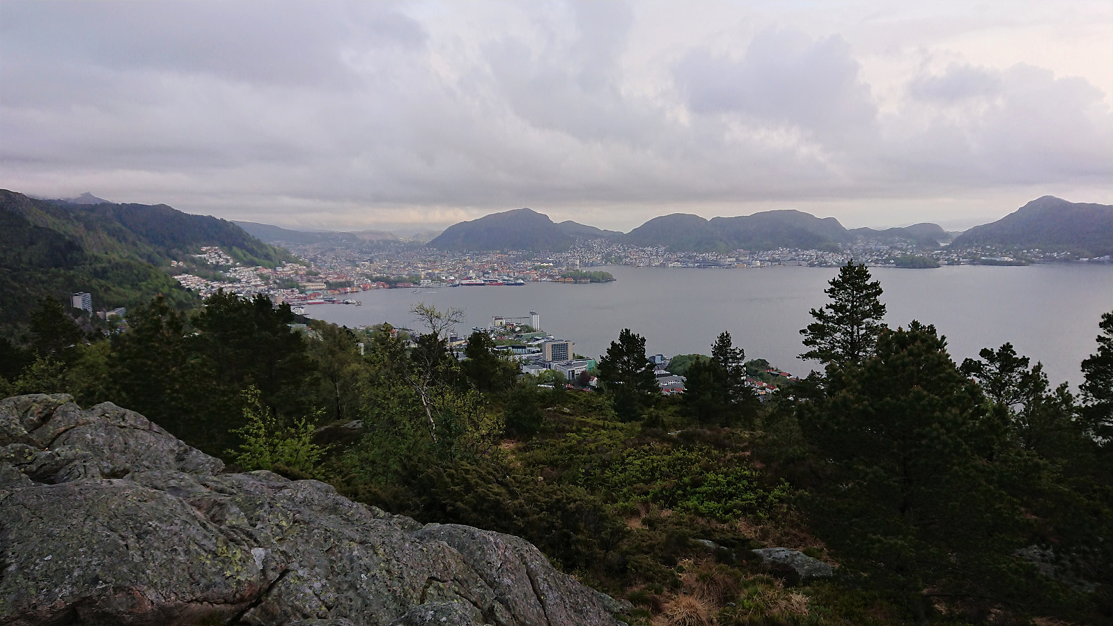
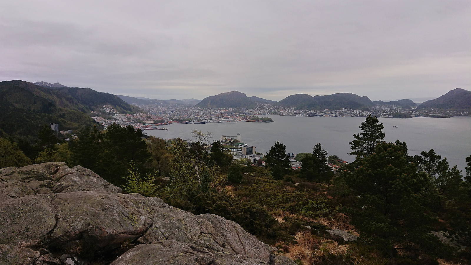
Håmanen from Sandviken sykehus
- Date:
- 29.04.2022
- Characteristic:
- Hillwalk
- Duration:
- 1:11h
- Distance:
- 6.1km
 Short local evening hike.
Ørneberget and Hellen festning
- Date:
- 28.04.2022
- Characteristic:
- Hillwalk
- Duration:
- 1:03h
- Distance:
- 4.6km
 Short local evening hike.
