Archive - Date
Archive - Activity
-
Climbing (43)
- Alpine climbing (31)
- Ice climbing (3)
- Mixed climbing (1)
- Sport climbing (3)
- Via ferrata (1)
-
Other trip (5)
- Expedition (5)
-
Other winter trip (5)
- Snowshoe trip (5)
-
Ski trip (449)
- Backcountry skiing (4)
- Cross-country skiing (2)
- Randonnée/Telemark (441)
-
Trip by foot (507)
- Alpine trip (47)
- Hike (196)
- Hillwalk (205)
- Jogging (4)
- Walk (55)
Peakbook-Friends


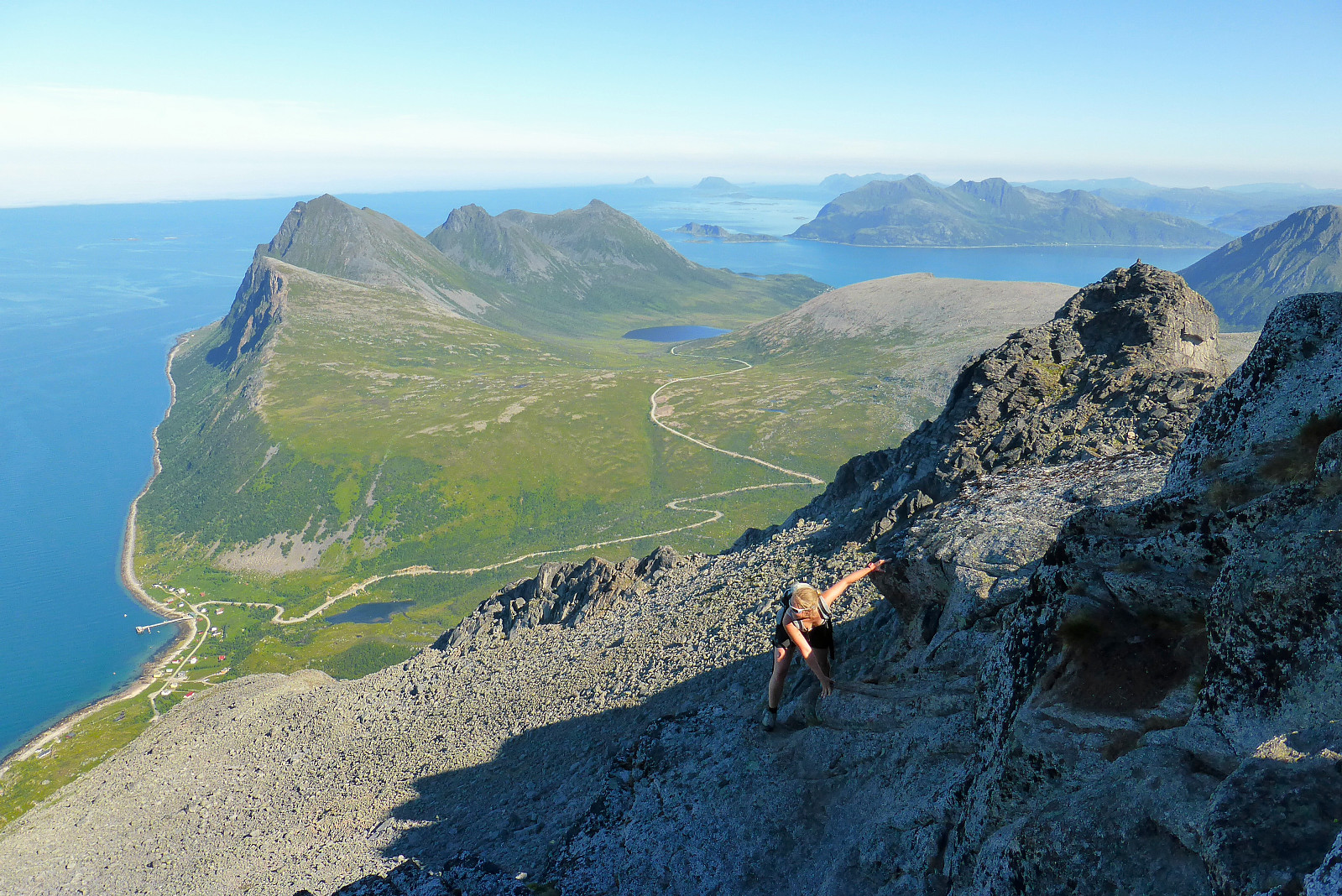
Skamtinden
- Date:
- 24.08.2017
- Characteristic:
- Hillwalk
- Duration:
- 2:30h
 Etterjobbtur med Martine. Nydelig vær!
Alphubel (Rotgrat)
- Date:
- 18.08.2017
- Characteristic:
- Alpine trip
- Duration:
- 10:30h
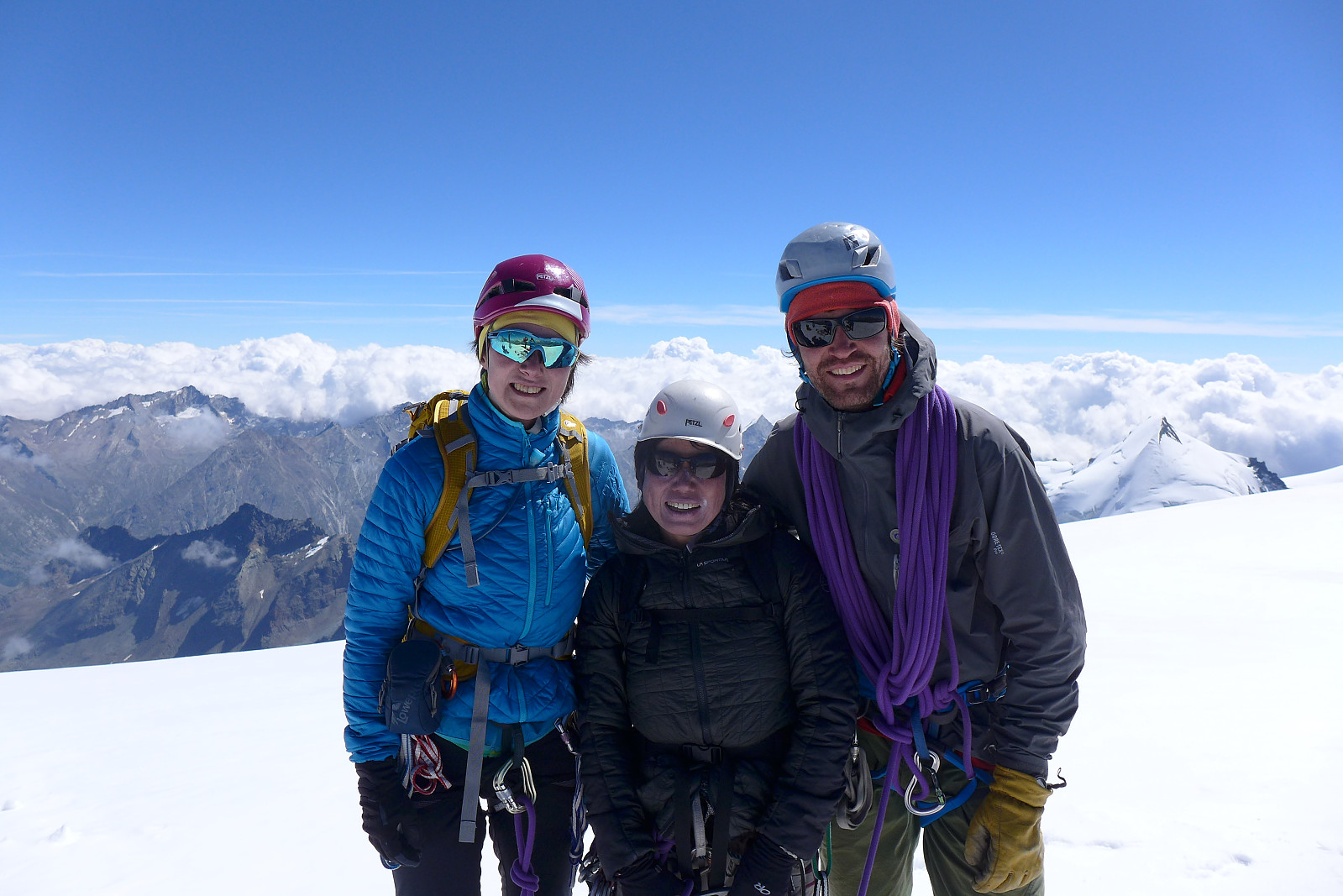 Alphubel isn’t one of the most attractive mountains in the Mischabel group (in my opinion) being quite big and rounded. The complete opposite of the Dent du Geant which we’d climbed a few days earlier! Nevertheless its long west ridge (Rotgrat) is one of its redeeming qualities and is described in good detail in Martin Moran’s guidebook for the alpine 4000m peaks. I was looking forward to ending the week with a decent long summit day (1550m from the Täsch hut), so this did to some degree fulfill some of what I’d hoped for. It would also be quite fun to revisit Alphubel, which was actually the first ever 4000m peak I’d ascended 15 years ago when I was 18 just after finishing school. That time we’d done the easy snow plod up the southeast ridge but I don’t remember that the weather had been >>>
Dent du Geant
- Date:
- 15.08.2017
- Characteristic:
- Climbing
- Duration:
- 7:15h
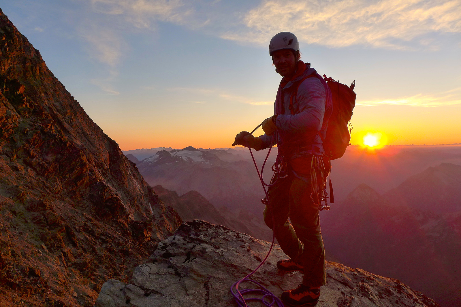
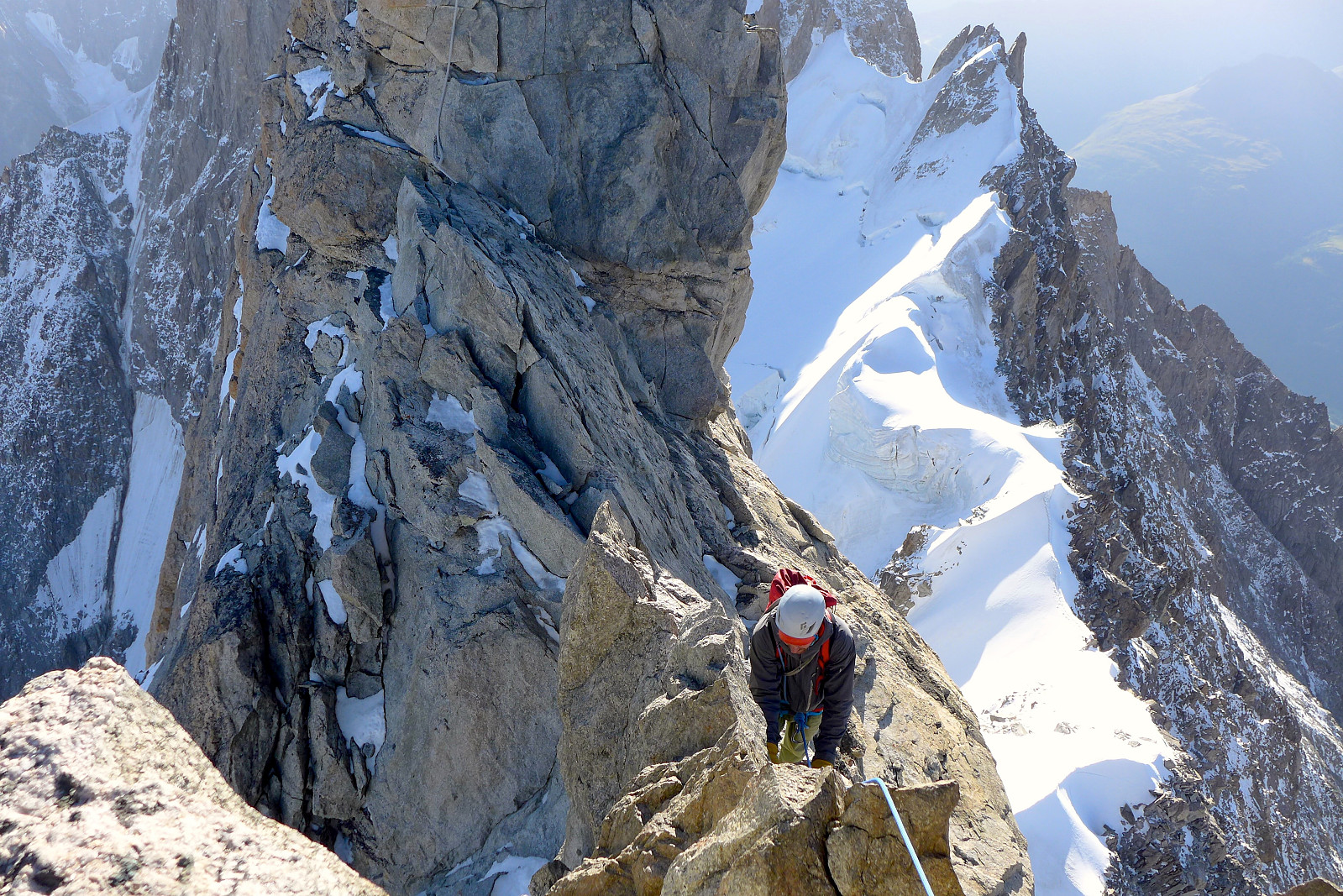 It’s name pretty much gives the game away. The Dent du Geant/Giant’s Tooth/Dente del Gigante according to one guidebook ”…has bags of exposure and has one of the best and pointiest summits in the Alps”. Definitely a great selling point. Sami had originally suggested climbing this at the weekend, but our trip over to the Torino hut got somewhat postponed because of the dump of new snow at the end of the previous week. But finally we were making our way up to the Torino hut after driving a few hours from Champex-Lac to Courmayeur and I was feeling rather psyched up for the following day’s objective. We arrived in Courmayeur with reasonably good time to catch the Helbronner lift before the last departure and it was around 5pm by the time we’d been ferried all the way up to the Helbronner >>>
Aiguille d'Orny
- Date:
- 13.08.2017
- Characteristic:
- Climbing
- Duration:
- 6:00h
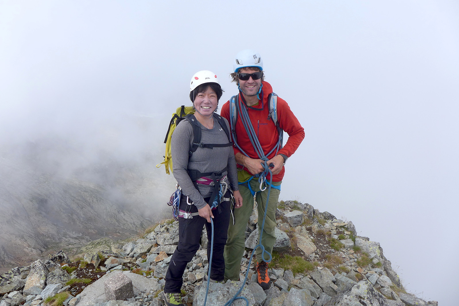
 After a partly wet Friday which we used to do yet another via ferrata at Saillon (named Via Farinetta, TD+), Saturday finally brought good weather and it appeared that the weather would remain good until at least Tuesday or Wednesday. However the constant downpours of rain at valley-level had also produced massive dumps of new snow from around 3000m, so even though the good weather was back, the high mountain ridges weren’t necessarily in condition. Fortunately we didn’t have any solid objectives for these 2 weeks so we were essentially free to make plans according to weather and conditions. Aiguille d’Orny became the new objective for Sunday so we did a few single pitch 5a/5b climbs at Dorenaz early on Saturday morning before driving up to Champex-Lac to get the Breya chairlift at 2188m >>>
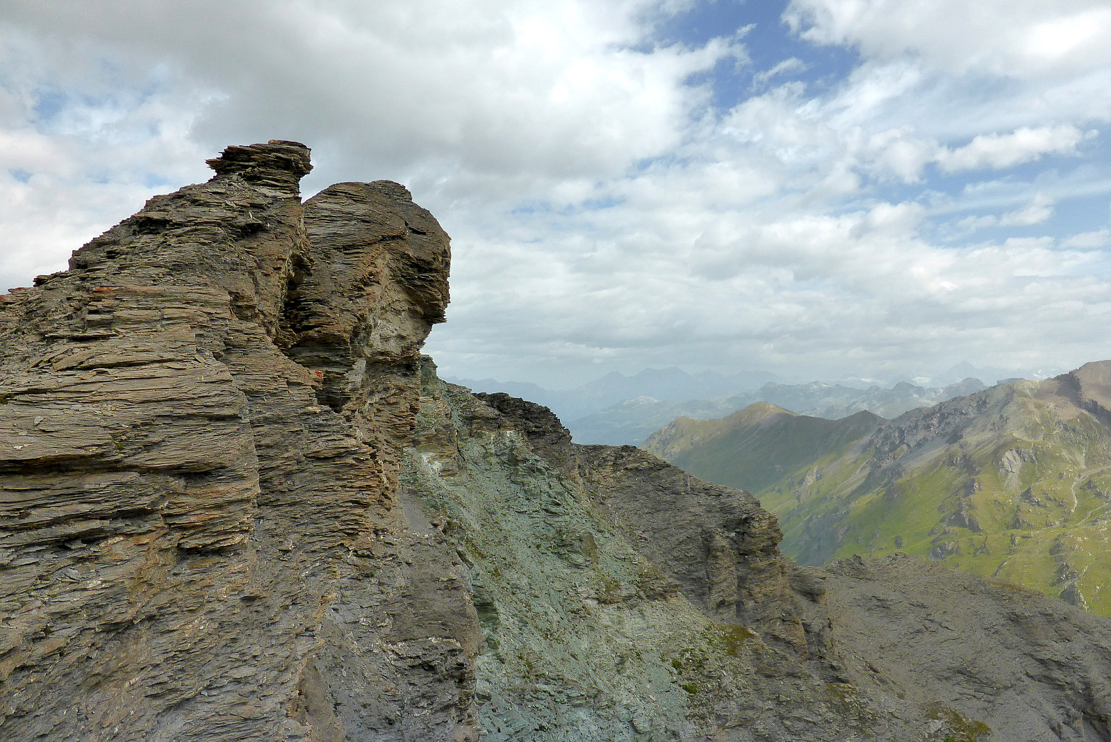
Grand Perron traverse
- Date:
- 09.08.2017
- Characteristic:
- Climbing
- Duration:
- 6:45h
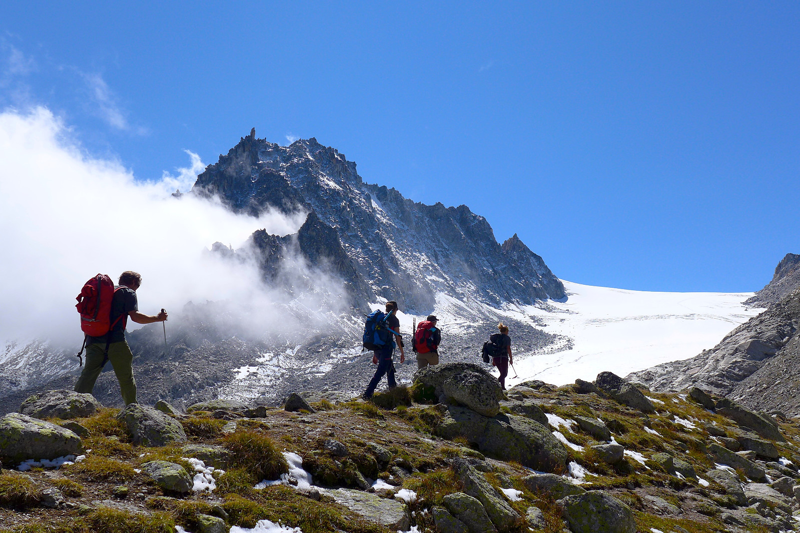
 After a day of rain and only having done a quick and easy via ferrata at Nax on Tuesday, the weather forecast for Wednesday looked more promising with the last of the rain and fog supposed to clear in the morning. There was even a chance of seeing sunshine later in the day! However, since bad weather was forecasted again on both Thursday and Friday it seemed like the best option would be to do a day trip. We also made a plan to switch our rest day from Saturday to Thursday so we could make the most of the good weather which was forecasted to be coming at the start of the weekend. With this in mind Sami suggested either doing some rock climbing in the valley or the Grand Perron traverse. Both Linda and I agreed that a high level ridge traverse would be a far more interesting option than valley >>>
Lagginhorn South Ridge
- Date:
- 07.08.2017
- Characteristic:
- Alpine trip
- Duration:
- 7:30h
 First route of a two-week trip with Linda who I’d met up with a few days earlier and our Finnish guide Sami who was working for Frost Guiding based in Evolene. The weather forecast wasn’t all that promising for the majority of the week but Monday was supposed to be fairly good with sunny weather. After some discussions about what we’d already done and what sort of routes we wanted to do, we decided to start with the south ridge of the Lagginhorn, a long AD ridge route which was now in good, dry condition after several days of warm and sunny weather. It seemed like a good objective since Linda had done a lot of fairly hard rock climbing in the US but never done any short-roping before on easier grade routes in the Alps. We planned to drive over to Saas Grund on Sunday morning and take >>>
Pointe du Bandon
- Date:
- 03.08.2017
- Characteristic:
- Hillwalk
 Akklimatiseringstur i lag med Linda. Vi tok første buss fra Evolene til Les Hauderes da en tidlig start fristet mtp at det var meldt varmt vær i dag. Byttet buss i Les Hauderes for å komme oss videre til La Sage. Fulgte stien i retning Col du Tsaté før jeg etter hvert gikk opp på den sørlige ryggen på Pointe du Bandon og Linda fortsatte mot Moiryhytta. God sti opp til ryggen, men derfra ble det kun gress og løs stein. Mye løs stein faktisk. Fortoppen var også noe løs og jeg var i tvil på om jeg hadde lyst til å hoppe over et hakk under den lille toppen for å kunne fortsette mot det høyeste punkt på Pointe du Bandon som var kun 10m høyere. Så jeg avsluttet turen på fortoppen og ble trøstet med en OK utsikt mot Glacier de Moiry og de mange flotte toppene rundt breen. Gikk >>>
Tromsdalstinden
- Date:
- 28.07.2017
- Characteristic:
- Hillwalk
- Distance:
- 14.5km
 Dødsvarmt og tungt opp. 2l med drikke i sekken var knapt nok, skulle gjerne hatt med en halvliter/liter til! Ble rolig nedover også. Men en fin luftetur som alltid :)
Store Blåmann
- Date:
- 26.07.2017
- Characteristic:
- Hillwalk
 Flott etterjobbtur med Martine, men turen ble noe tyngre enn først antatt. Trodde at det skulle bli en rolig tur opp men hun ombestemte seg for å gå i treningstempo når hun fant ut at kroppen funket bedre enn forventet! Men det var perfekt temperatur iallefall :)
Skamtinden
- Date:
- 25.07.2017
- Characteristic:
- Hillwalk
- Duration:
- 3:30h
 Startet denne tirsdagen med en frokostbikintur til Skamtinden med frøken Isaksen :)

