Archive - Date
Archive - Activity
-
Climbing (43)
- Alpine climbing (31)
- Ice climbing (3)
- Mixed climbing (1)
- Sport climbing (3)
- Via ferrata (1)
-
Other trip (5)
- Expedition (5)
-
Other winter trip (5)
- Snowshoe trip (5)
-
Ski trip (449)
- Backcountry skiing (4)
- Cross-country skiing (2)
- Randonnée/Telemark (441)
-
Trip by foot (507)
- Alpine trip (47)
- Hike (196)
- Hillwalk (205)
- Jogging (4)
- Walk (55)
Peakbook-Friends


Piz Bernina - Biancograt
- Date:
- 28.06.2021
- Characteristic:
- Alpine trip
- Duration:
- 8:10h
- Distance:
- 13.0km
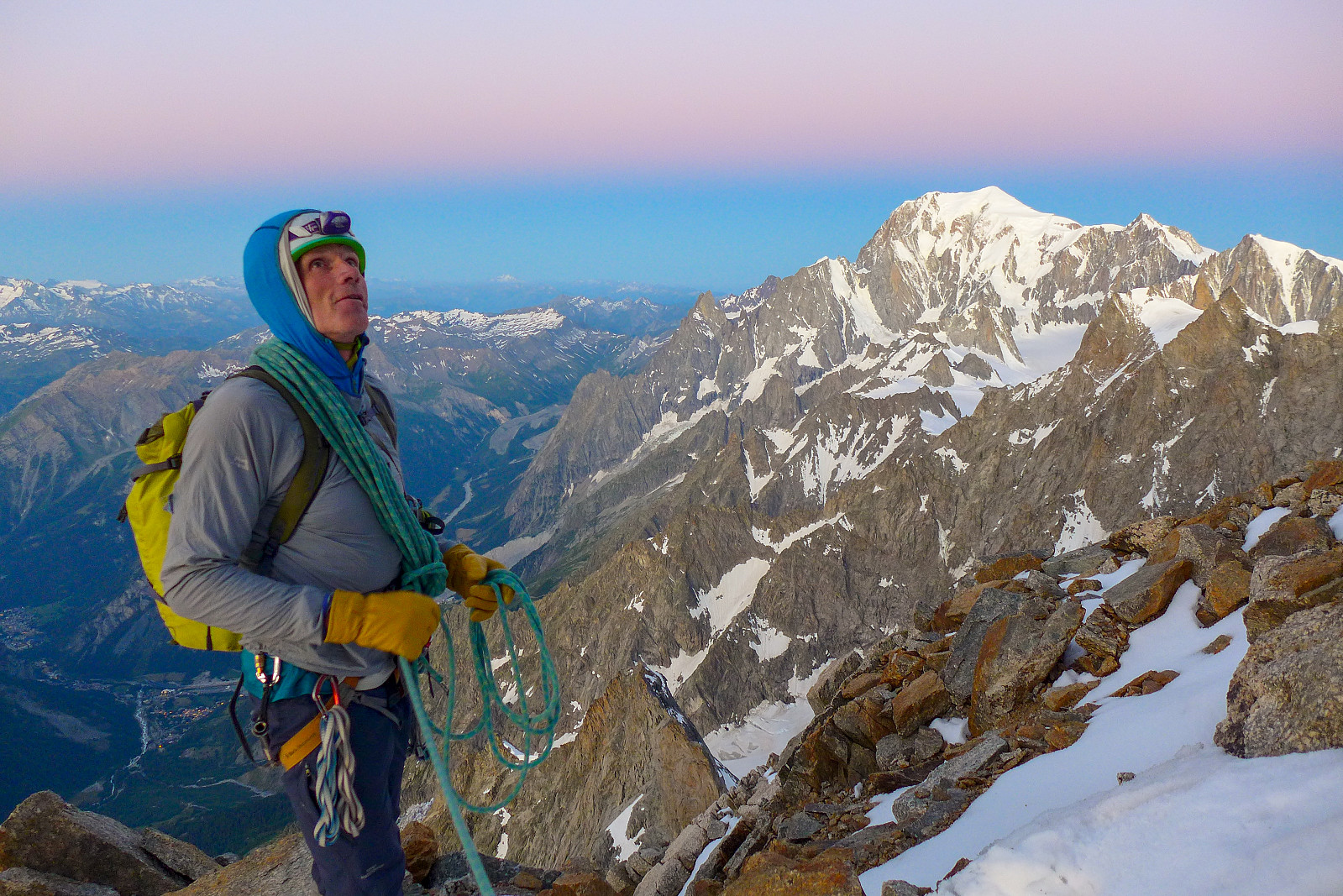
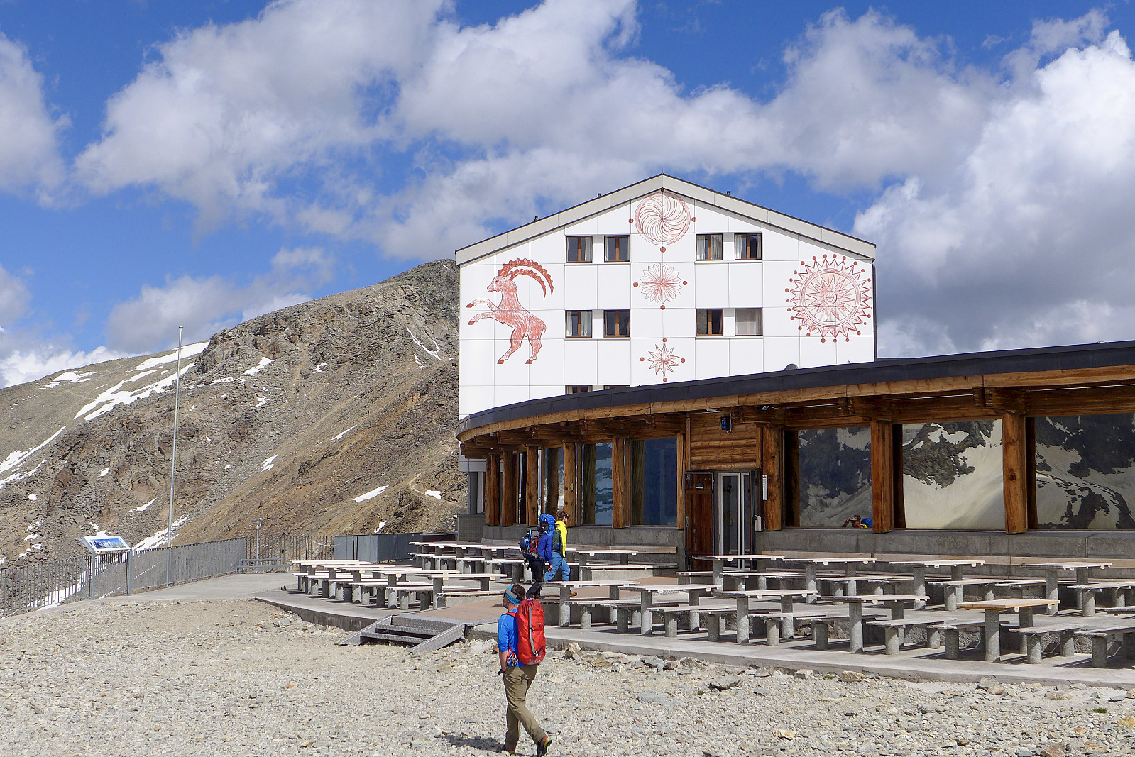 After a week spent in Zermatt doing various acclimatization hikes, I relocated to the Chemin des Etoiles, a chalet in Evolene which has been (and probably will continue to be!) my annual summer holiday base for the last five years. Anyway, it was great to be back in familiar surroundings again, though the chalet was pretty quiet this week with only 4 of us staying there. I’d been keeping an eye on the weather forecast for several 4000m-peaks I had on my wishlist for this summer, but it looked like the best weather would be further east in Switzerland for the start of this week. I’d not been up Piz Bernina, and the Biancograt was one of the routes I’d wanted to do for a number of years, so it seemed like a good option to start with. Did a quick check with Graham, the guide who I’d be >>>
Breithorn x 3
- Date:
- 25.06.2021
- Characteristic:
- Hike
- Duration:
- 4:34h
- Distance:
- 11.6km
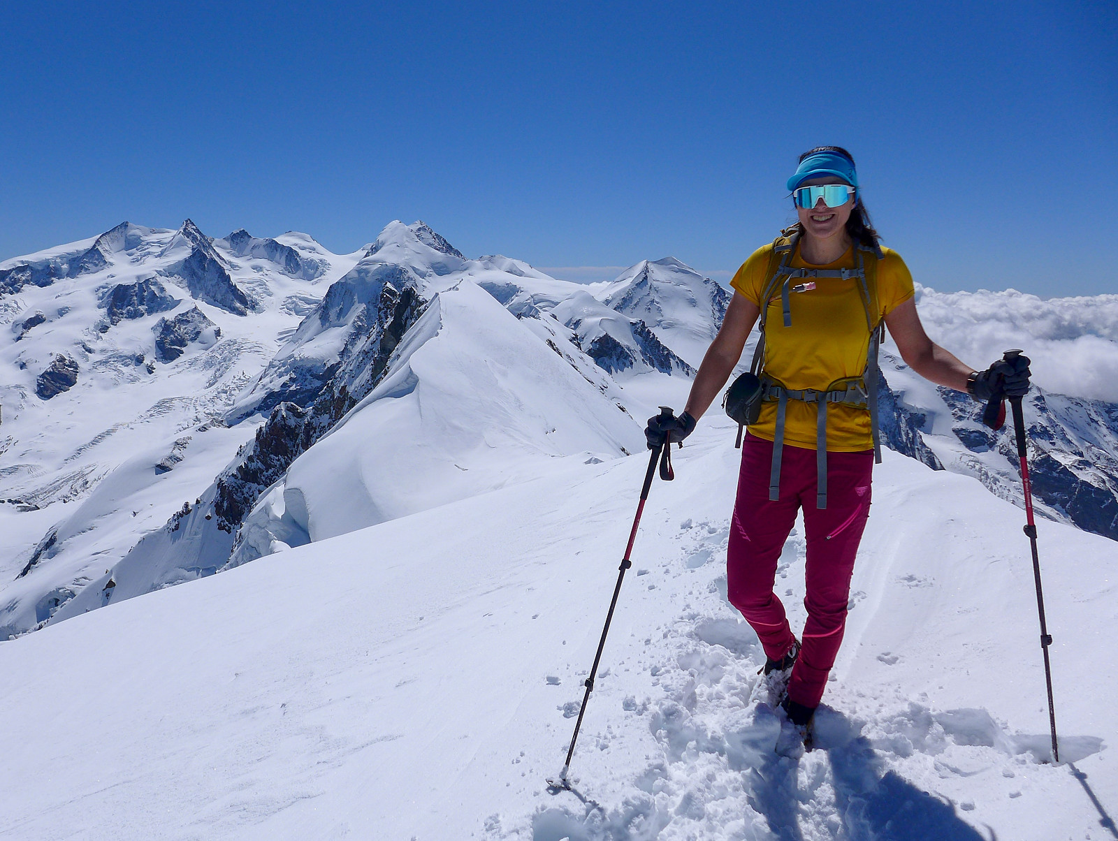 Siste dag med akklimatisering i Zermatt. Kokvarmt på fjellet i dag!
Breithorn x 2
- Date:
- 23.06.2021
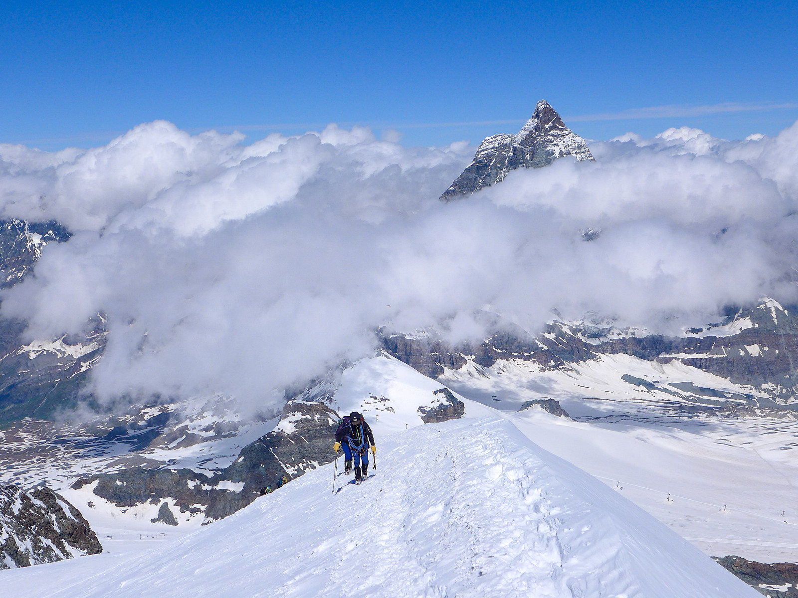 Tenkte det hadde vært lurt å utnytte det dyre heisbillettet og godværsvinduet og gå to runder på Breithorn ;-)
Schreckhorn
- Date:
- 30.07.2020
- Characteristic:
- Alpine climbing
- Duration:
- 13:20h
- Distance:
- 13.5km
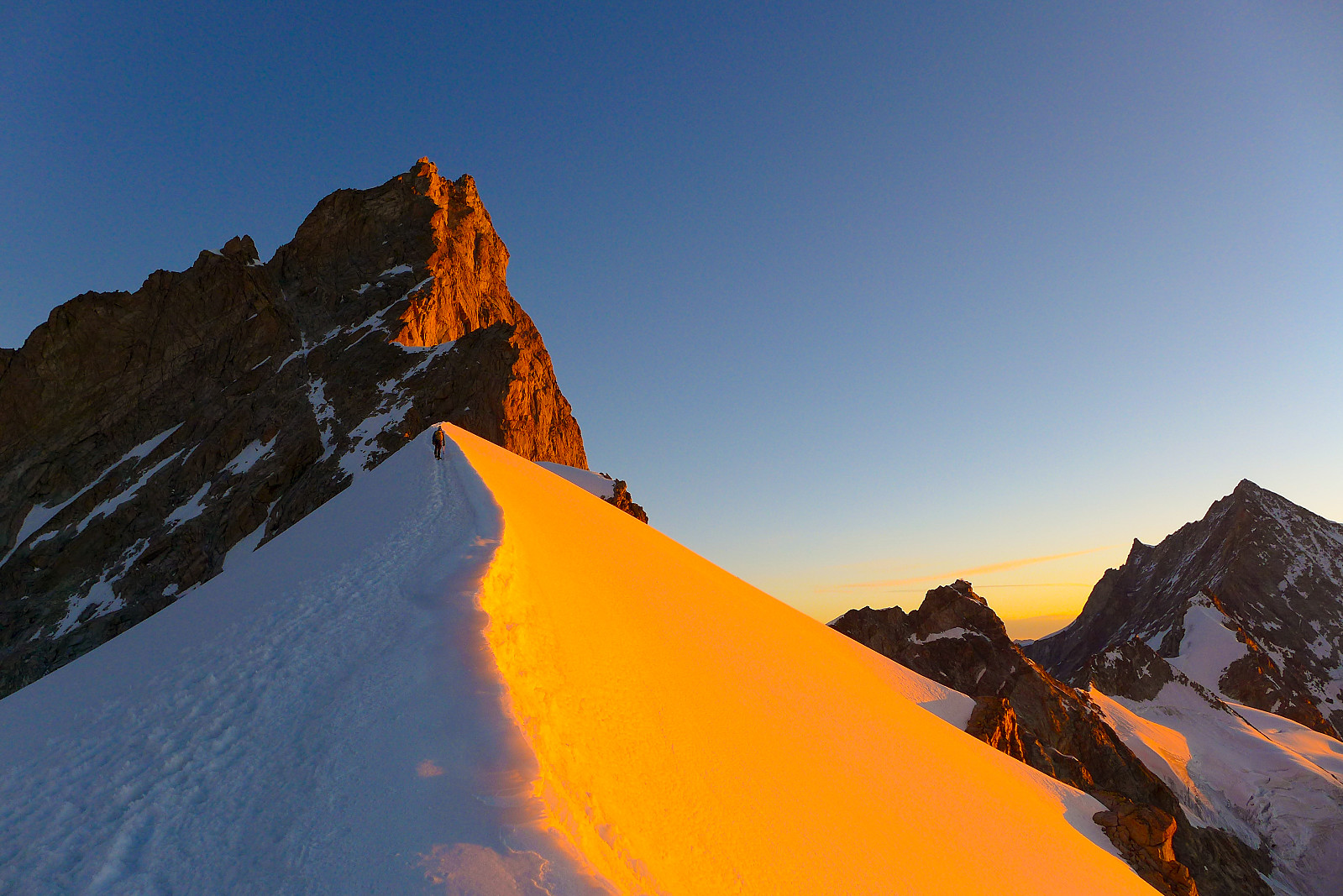
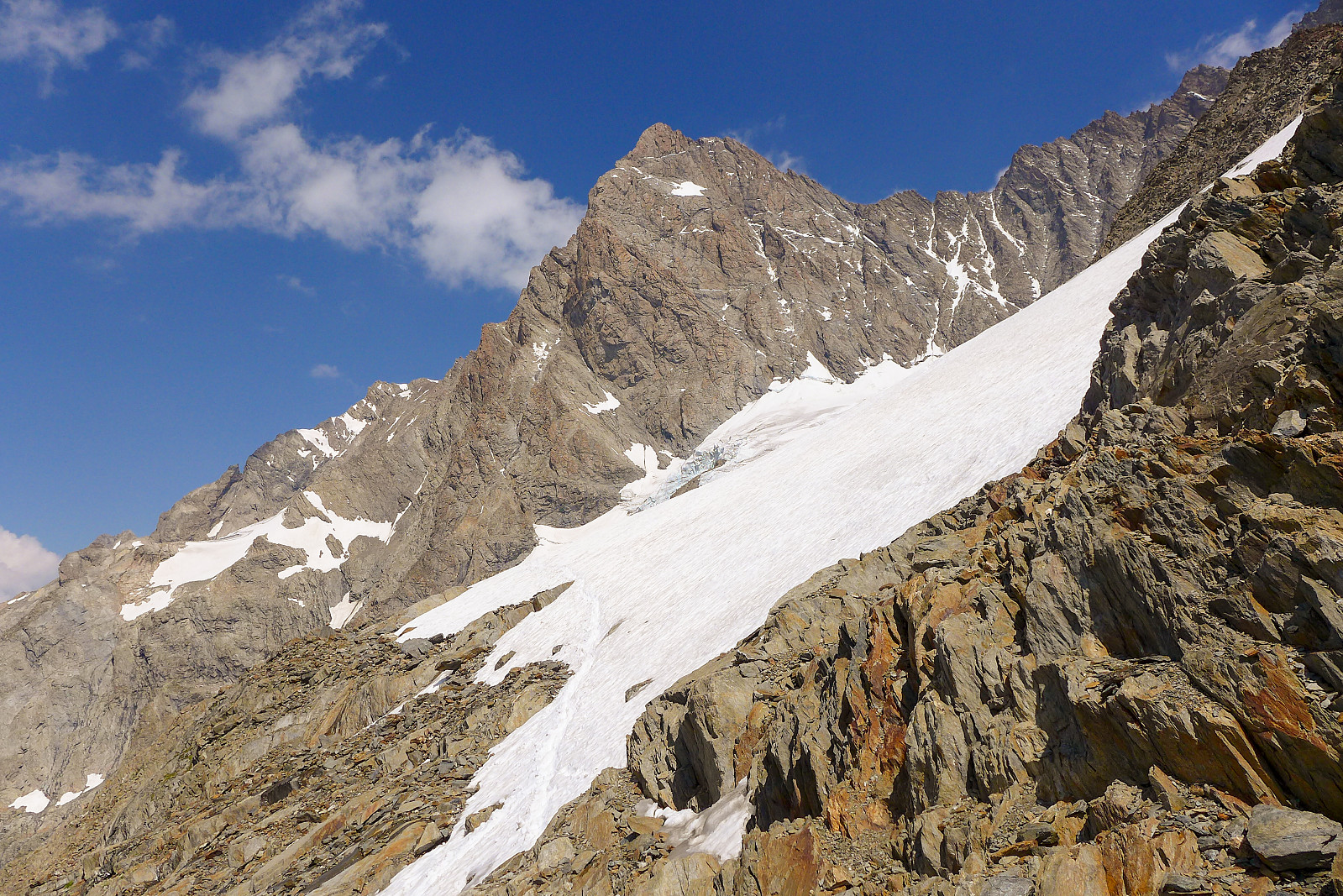 Unlike quite a few of the 4000m peaks I’ve climbed in the Alps in the last few years, the Schreckhorn has not actually stood at the top of my priority list for many years. It was really only after having heard about how awesome (and long) the Schreckhorn-Lauteraarhorn traverse was, from one of Tim’s friends who’d guided it last year, that it began to spark a bit of interest in me. I remember it having caught my eye when I did the Eiger traverse which ascends the Mittellegi ridge and descends the South ridge, but from that angle I thought it looked a bit bold for my climbing abilitiy (or lack of). Turns out the easiest route up the southwest ridge is actually “only” an AD+ with fairly easy climbing, not above III+. And having checked out various route descriptions it did sound like really nice, >>>
Grandes Jorasses
- Date:
- 27.07.2020
- Characteristic:
- Alpine climbing
- Duration:
- 9:48h
- Distance:
- 8.3km
 Following the brilliant first week of climbing, we had two easy days down in the valley back in Evolene which I mainly used for eating, drinking and sleeping plenty while also making plans for the second week. I’d earlier hoped that the Taschhorn-Dom traverse could be an option, but after having found out from the Swiss AlpineClub website that the Mischabel bivouac hut was closed for the season, it was obvious that this idea was not realistic – at least not this summer unfortunately. Having spent the week over in the Zermatt and Saas valleys, which I felt pretty familiar with now, I thought it would be quite nice to have a change of scenery and climb some other 4000ers in other regions of the Alps I hadn’t spent much time in. I was also quite keen to climb a “cool” mountain and so >>>
Nadelgrat
- Date:
- 23.07.2020
- Characteristic:
- Alpine climbing
- Duration:
- 14:05h
- Distance:
- 18.7km
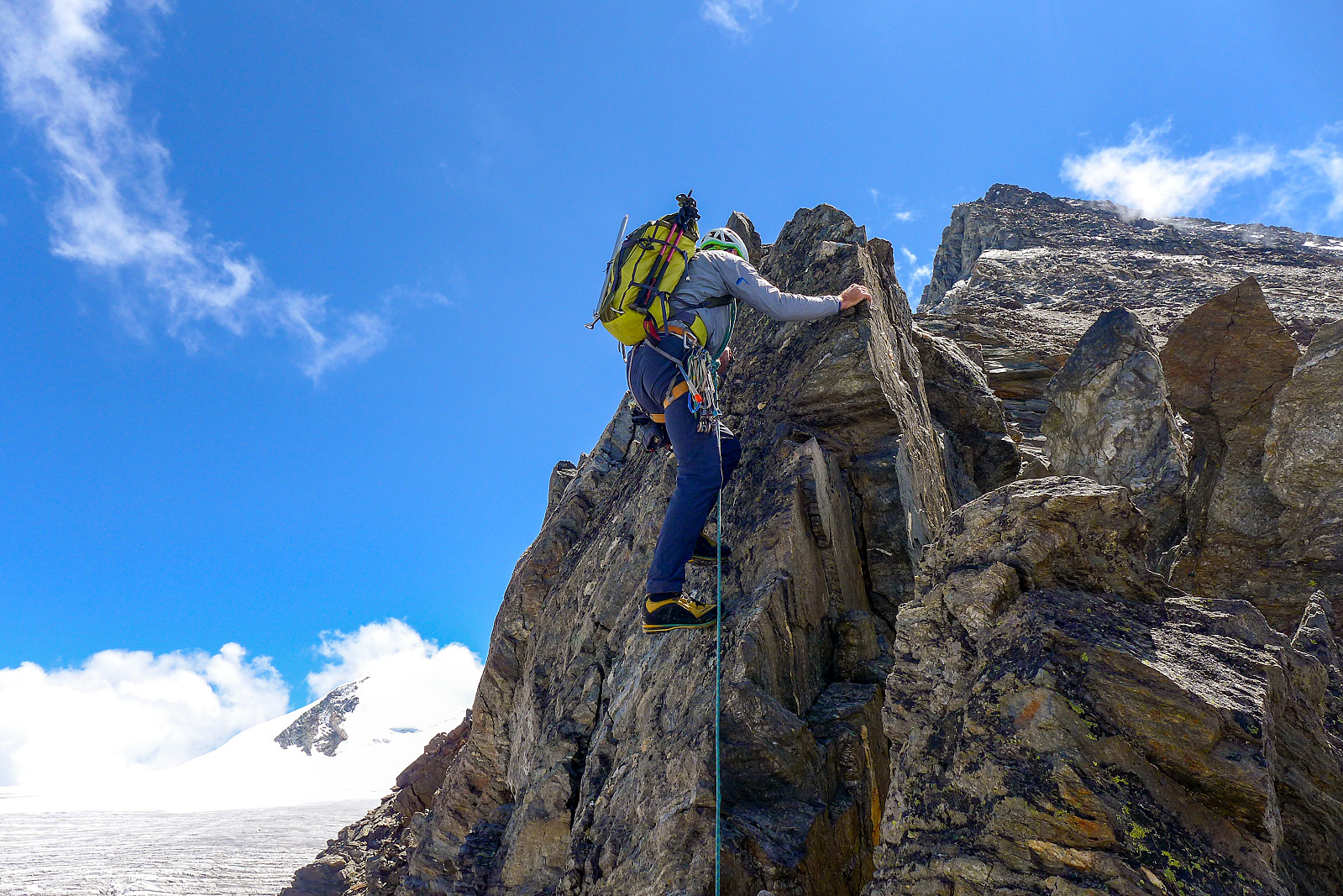 The northern Nadelgrat is made up of the Nadelhorn, Stecknadelhorn, Hohberghorn and Dirruhorn, the latter three which I had not yet climbed but of those three, only 2 are deemed to be principal 4000m peaks. Anyway, it was a traverse I’d had on my list to do and after numerous consultations with Martin Moran’s 4000m guidebook I had got the impression that the normal way to do it was from north to south, by ascending a couloir on the east side of the Dirrujoch between the Dirruhorn and Hohberghorn first and then continuing along the ridge southwards and descending the normal route on the Nadelhorn back to the Mischabel hut as a round trip. It turned out Tim had other ideas, which meant doing it as a one way traverse and ending up in the picturesque town of Grächen above the Zermatt valley >>>
Breithorn half traverse
- Date:
- 21.07.2020
- Characteristic:
- Alpine climbing
- Duration:
- 4:34h
- Distance:
- 7.5km
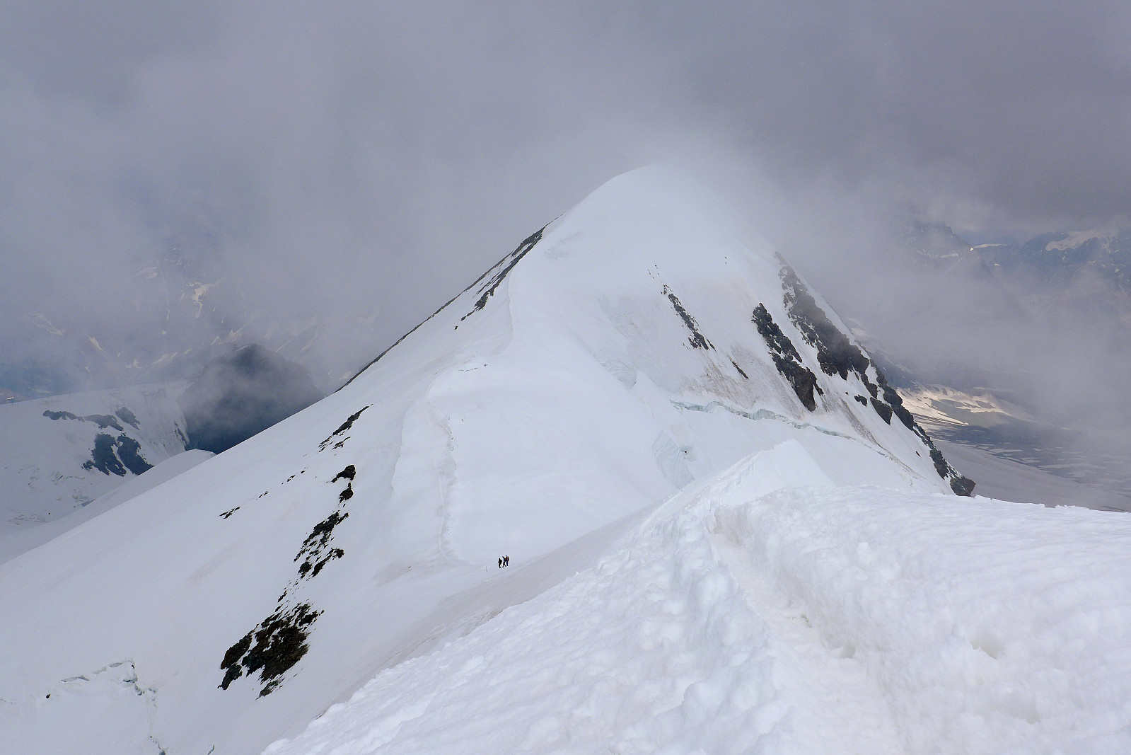 After arriving back in Zermatt from the Zinalrothorn , we checked the weather forecasts again to make sure it would still be good weather for the next objectives we had planned to do. Originally the plan had been to head up to the Ayas hut, then traverse both Castor and Lyskamm the following day, spend the night up at the Margherita hut and then do both Nordend and the Dufourspitze on the thursday which was supposed to have the best weather and would have made a nice 3-day outing. Castor and Dufourspitze I had climbed previously, but not Lyskamm or Nordend, so they were still on the "to-do" list. However, since the forecast for the next 2 days were looking less optimal for a big day on exposed snow ridges, we moved onto my backup plan which was to do the Breithorn half traverse, a quick half day >>>
Zinalrothorn
- Date:
- 20.07.2020
- Characteristic:
- Alpine climbing
- Duration:
- 7:45h
- Distance:
- 7.1km
 The Zinalrothorn is a pretty cool looking peak, though I personally think its a bit dependent on which angle you see it from. Definitely awesome when viewed from the Ober Gabelhorn though :-) Like last year, I had 10 (fun) days of climbing with British mountain guide Tim Neill to look forward to and the Zinalrothorn seemed like a good option to start off with since neither of us were really well acclimatized to 4000m yet. I was a bit worried that I would have de-acclimatised after a few days of easy hiking in the Saas valley and not really going above 3300m, so it was probably good to be starting with a peak which didn’t have a massive summit day although the walk-in to the Rothorn hut was relatively long. Since I’d expected there to be reduced capacity at the alpine huts this summer, I made a booking >>>

