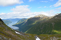
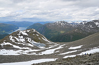
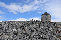
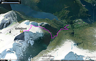
Tursti Skålatårnet

Name Tursti Skålatårnet
Search name Skålatårnet Tursti
Type Hiking
Elevation 1,843 meter
Region Stryn, Nordfjord
Parent regions Europe, Norway, Norway mainland, Sogn og Fjordane
Adviser admin (Administrator)
Last modification 09.03.2016
Route type Main route
Marking Marked
Distance 7.9km
Duration 5 timer, 1800 høydemeter. Se også http://www.skaala.no/
Coordinates 32V 393002 6861186 (UTM)
Map Show object on map

Notice: Smarty error: html_image: unable to find 'gfx/pbes/80/69/806994e5870dd7cce56e9f5e1e6ba581/3.jpg' in /var/www/test.peakbook.org/httpdocs/libs/smarty/libs/Smarty.class.php on line 1092

© Arnt Flatmo

Statistics

Register visit of Tursti Skålatårnet.

Overall 8 members have registered 9 visits of Tursti Skålatårnet.

de  This article is not available in your language. Be part of this project and create it!    Create article

Pictures

Trip Reports