Stor-Kjølen (23.07.2012)


Written by hmsv1 (Hannah Vickers)
| Ascents | Stor-Kjølen (790m) | 23.07.2012 |
|---|
A bit of a spontaneous trip, this one. I was woken up by bright sunshine shining through my bedroom window at about 2am on the monday morning, after having had a good day with mixed weather on Bakaromntinden the previous evening.....the blue skies were not expected after yr's forecast had been quite remarkably inaccurate for the whole of the week before! So I decided at that point (still a little half asleep) that in a few short hours I would get myself back out on a hike again and enjoy the apparently nice interval of sunshine. Fortunately when I actually got out of bed properly at 6am it was still sunny, so I got by rucksack ready for a quick trip before work. Stor-Kjølen seemed like a good option. It's really easy ground, almost flat for most of the way up because the height gain is spread out evenly over a fairly long distance of 4-5 km. I hadn't ascended it from the Finnvikdalen side either, so this route appealed for such a short trip.
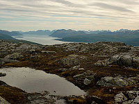
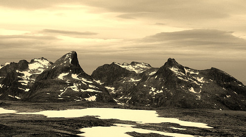
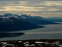
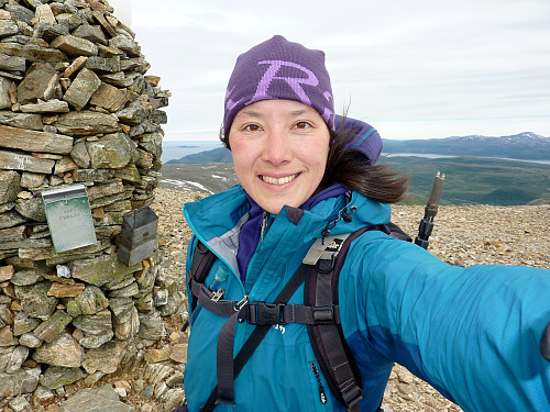
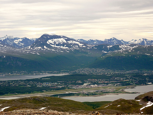
I drove the 15-20mins to the starting point at the top end of Sørskaret, which was surprisingly windy, and then began making my way up the well-trodden path visible from the parking space. I was a little surprised though that it was not signposted by the usual Ti på Topp markers which I'd become pretty accustomed to by now. Not that they were actually needed of course - the path was so obvious you'd have to try really hard to lose sight of it! With onlly some drink, a couple of snacks and a spare waterproof jacket in my bag, my rucksack felt superlight and I was putting on what I consider to be a reasonable pace, although that was partly because I'd seen on the forecast that some cloud and rain were moving in late in the morning, so I wanted to be up and down the hill by then. The first hour of the trip was a bit dull, to be honest. There were some nice views of Nordfjordtinden and Ringvassoya - but that was about it. Nice but not amazing. And the route felt more like a hike over open moors rather than on a mountain, simply because the gradient was so gentle. By the time I got past the first of the Kalvedalsvatnet it was indeed cloudier and the views of the mountains on the mainland were fast becoming less attractive. But from there it was only about another 30 minutes to the top and a little more windy. Somehow when the weather changes so rapidly from bright sunshine to overcast skies, it feels like I've been walking for much longer than I really have. The trip from the pass to the top was only 1.5 hours, but already I thought I'd taken about 3 hours! There were, nonetheless, some really fine views of Store Blåmann and Orvasstinden from the summit, and I took some quick shelter behind the observatory building to put on a windproof jacket and gloves, since it was getting quite cold at this point. I took a few photos, but after that it was straight back down to the car again.
Somehow I did actually manage to lose the main path for a few hundred metres, but after traversing a bit more in a southerly direction, I spotted some cairns (piles of stones) which are usually placed alongside the path and found it once again. The rest of the descent was a bit uninteresting, especially if it is on the same way that's used for the ascent, and the final 15 minutes or so of the walk down to the parking space was in rain, so I concluded that I'd *almost* achieved my goal of getting up and down without getting wet..........



User comments